East Fork Stones River
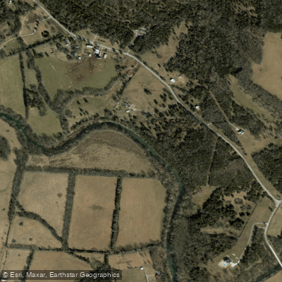
East Fork Stones River
- Boat Ramps
- 3
- Access Points
- 6
- Campsites
- 0
The East Fork Stones River originates in Cannon County, Tennessee and flows northwest through Rutherford County before joining the West Fork to form the main stem of the Stones River near Murfreesboro. This tributary is approximately 40 miles long and drains a significant portion of the eastern Stones River watershed. Paddlers can enjoy several distinct sections on the East Fork, ranging from scenic rural stretches to more developed areas near Murfreesboro.
The upper reaches from Readyville to Murfreesboro offer a mix of Class I-III rapids, with the 8-10 mile Hoovers Mill to Readyville Dam section being particularly popular. This run features limestone bluffs, historical sites, and a few challenging rapids that require some maneuvering skills. Below Murfreesboro, the river transitions to a more placid Class I-II waterway. The 8.71-mile stretch from Walter Hill Dam to the East Fork boat ramp provides an excellent beginner-friendly paddle through a natural wooded corridor with easy riffles and slow pools.
Water levels are typically best for paddling in spring and early summer, with fall offering scenic foliage. Summer paddling is possible but may require occasional portaging in low water conditions. The river supports diverse wildlife, including smallmouth bass, which attract anglers to its waters.
Key access points include Readyville Mill, Hoovers Mill Road, Walter Hill Dam, and various spots within Murfreesboro's extensive Greenway System. The city of Murfreesboro serves as the primary hub for amenities and logistics.
Historically, the East Fork played a role in early settlement and industrial development of the region, with remnants of old mills still visible along its banks. Today, it forms an integral part of Murfreesboro's recreational infrastructure, with ongoing efforts to improve public access and preserve the river corridor.
Paddlers should be aware of occasional strainers and low-head dams, particularly after high water events. It's advisable to check current conditions and water levels before embarking on a trip. Multi-day excursions are possible by combining sections, though camping options are limited and should be planned in advance. The East Fork Stones River offers a blend of natural beauty, historical interest, and varied paddling experiences, making it a valuable recreational resource for both locals and visitors to Middle Tennessee.
Water access, boat ramps & amenities
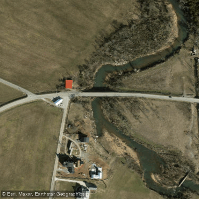
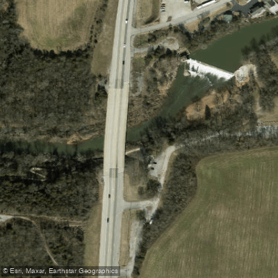
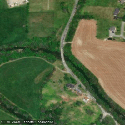
Learn how to get on East Fork Stones River. Uncover great paddling access points, boat ramps, and all the facilities you need for an unforgettable day on the water. Some locations shown may border or include private property. Always check property boundaries and applicable regulations before visiting. PaddleWays's Public & Private Land layer can help you plan your access with confidence.
Paddle smarter with real-time insights
Whether you're en route and conditions shift or you're looking for the best spot based on current flows, we enable you to make informed decisions on the fly.








Find Places to Paddle

Over 400,000 Places to Paddle
Every user gets free access to launch points, boat ramps, and public property parcels.


Water and weather conditions (10 day forecast)
See the best times to paddle East Fork Stones River and check the forecast before you go.
EAST FORK STONES RIVER NEAR LASCASSAS, TN
Paddling near East Fork Stones River
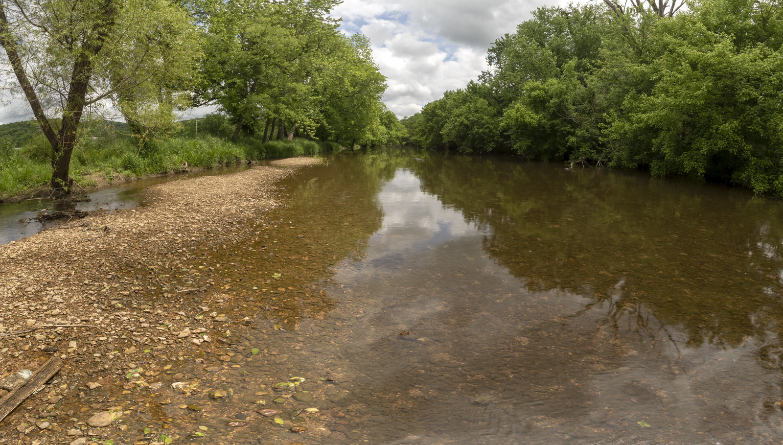
Stones River
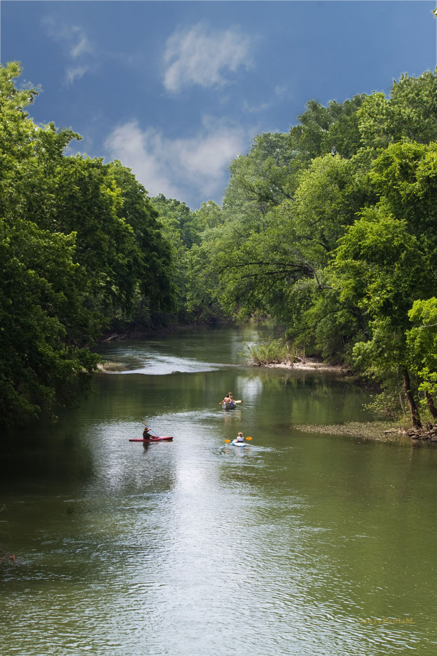
Harpeth River
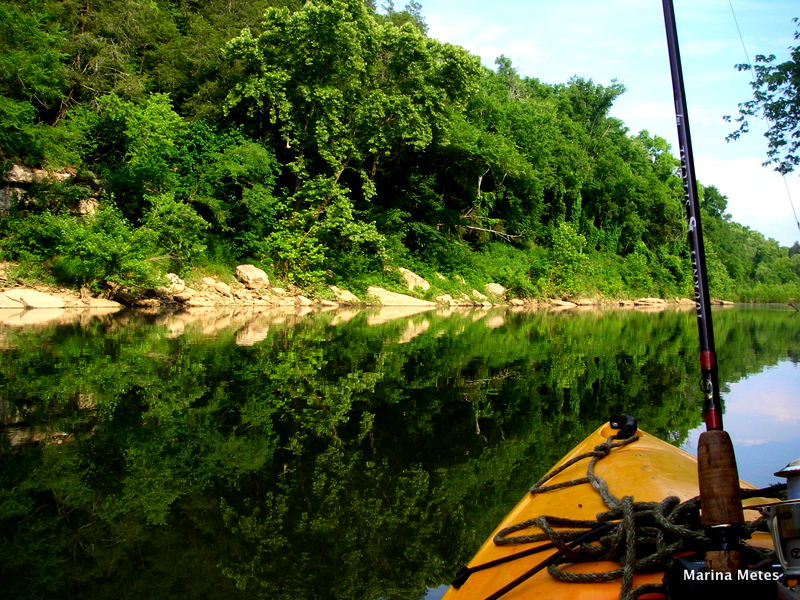
Duck River
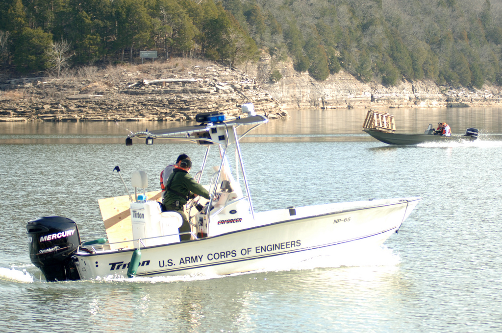
Center Hill Lake
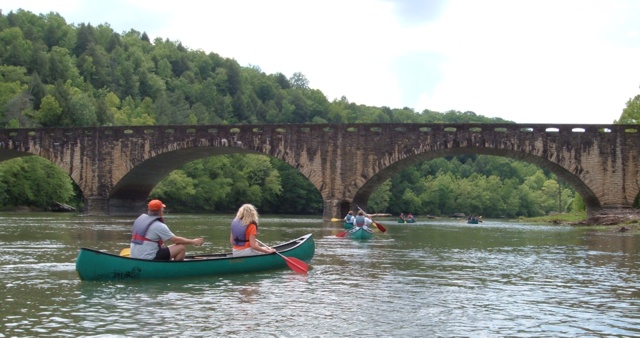
Cumberland River
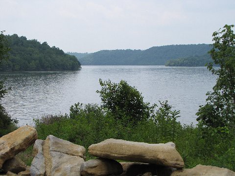
Tims Ford Lake
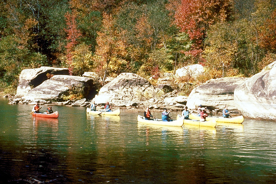
Caney Fork
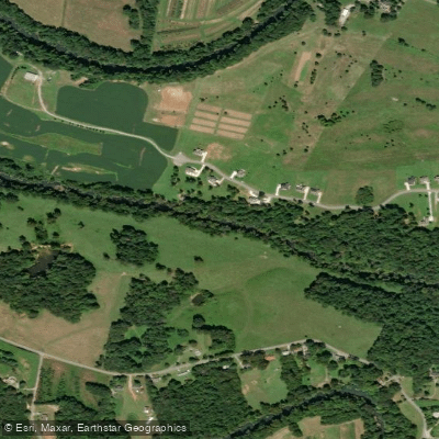
Collins River
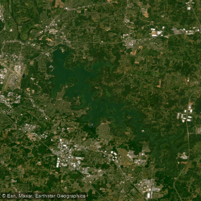
J Percy Priest Reservoir
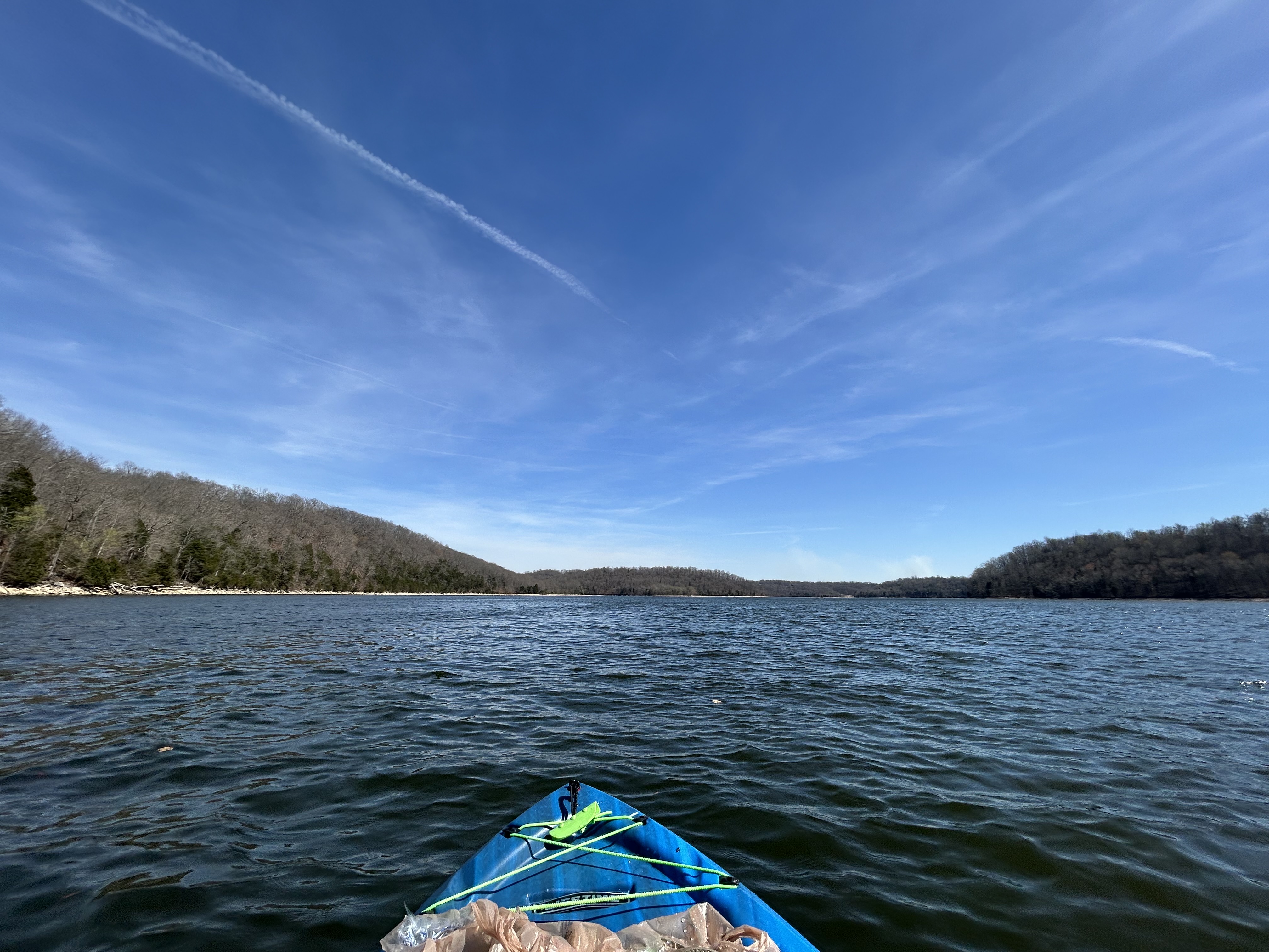
Normandy Lake
Explore Tennessee waters
Top paddling waters
Popular Cities
Loading popular cities...
Explore near East Fork Stones River
Access points
Nearby waters
More in Tennessee

Smarter Paddling Starts in the App.
Paddleways gives you everything you need to plan smarter, paddle better, and own every trip from first launch to takeout.