West Fork Stones River
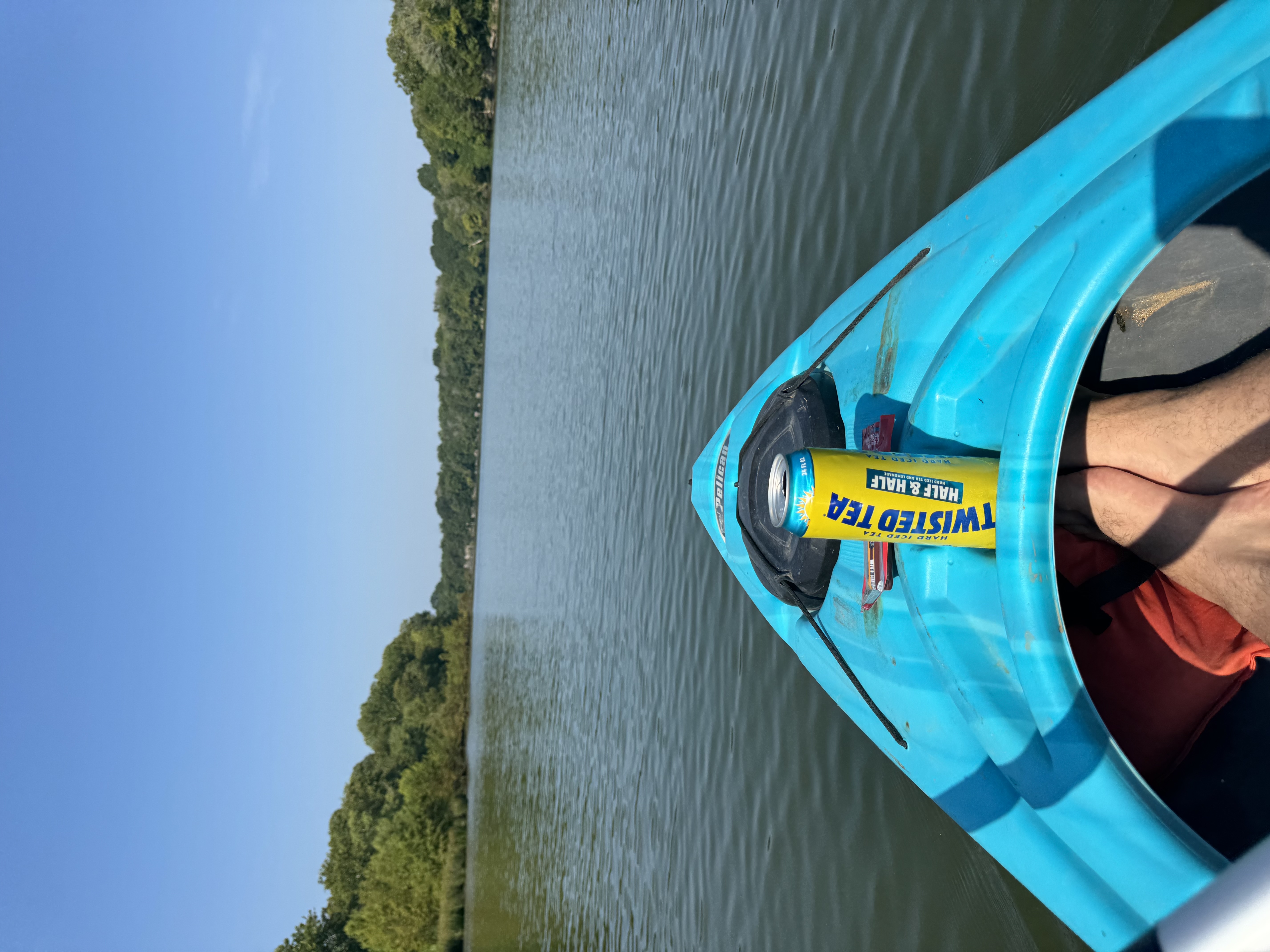
West Fork Stones River
- Boat Ramps
- 3
- Access Points
- 6
- Campsites
- 1
The West Fork Stones River is a scenic waterway in central Tennessee that offers excellent paddling and fishing opportunities. Originating near Murfreesboro, the river flows northward for approximately 30 miles before joining the East Fork to form the main stem of the Stones River, which ultimately empties into Percy Priest Lake near Nashville. Paddlers can enjoy several distinct sections of the West Fork, ranging from calm flatwater to mild Class I-II rapids.
The most popular run stretches 16 miles from Thompson Lane in Murfreesboro to Jefferson Springs Recreation Area on Percy Priest Lake. This section features mostly Class I water with a few short Class II rapids, particularly near Nice Mill Dam. The initial miles pass through residential areas before transitioning to more pastoral and wooded terrain. A shorter 5-mile section from Nice Mill Dam to the West Fork Boat Ramp offers an easy scenic float suitable for beginners, typically taking 2-3 hours to complete. For more experienced paddlers, the 16-mile stretch from Searcy Street to Nice Mill Dam provides a mix of Class I-II rapids, small waterfalls, and excellent fishing opportunities.
The river is best paddled in spring and early summer when water levels are optimal. Late summer and fall can bring lower water levels, requiring occasional portaging in shallow areas. The West Fork supports diverse wildlife, including various fish species, turtles, and birds.
Key landmarks include the historic rock wall near Thompson Lane, a somber reminder of the Civil War's Battle of Stones River, where 18,000 soldiers fell. Nice Mill Dam is another significant feature, requiring a portage for safety. Primary access points include Thompson Lane and Searcy Street in Murfreesboro, Nice Mill Dam, and Jefferson Springs Recreation Area near Smyrna. These provide convenient put-in and take-out locations for day trips.
Safety considerations include being aware of water levels, especially near Nice Mill Dam, and exercising caution in rapids. Paddlers should also be prepared for occasional shallow areas that may require short portages. While primarily used for day trips, the West Fork Stones River's length and multiple access points allow for potential multi-day adventures for those seeking a more immersive river experience. The river's blend of scenic beauty, mild rapids, and rich history make it a gem for paddlers in the Nashville area.
Water access, boat ramps & amenities
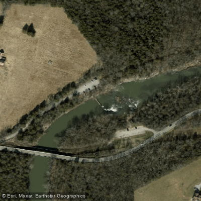
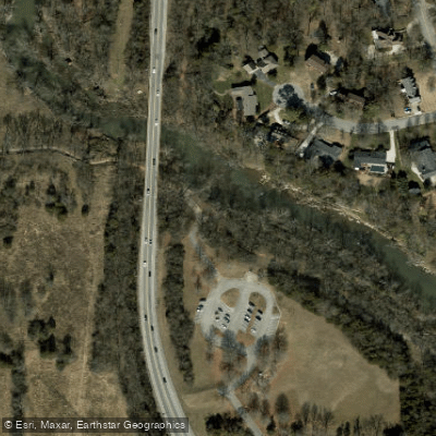
Learn how to get on West Fork Stones River. Uncover great paddling access points, boat ramps, and all the facilities you need for an unforgettable day on the water. Some locations shown may border or include private property. Always check property boundaries and applicable regulations before visiting. PaddleWays's Public & Private Land layer can help you plan your access with confidence.
Paddle smarter with real-time insights
Whether you're en route and conditions shift or you're looking for the best spot based on current flows, we enable you to make informed decisions on the fly.








Find Places to Paddle

Over 400,000 Places to Paddle
Every user gets free access to launch points, boat ramps, and public property parcels.


Water and weather conditions (10 day forecast)
See the best times to paddle West Fork Stones River and check the forecast before you go.
WEST FORK STONES RIVER AT MURFREESBORO, TN
All Flow Stations
Paddling near West Fork Stones River
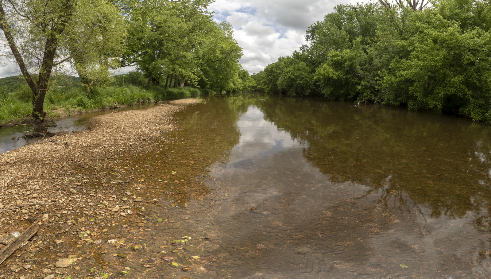
Stones River
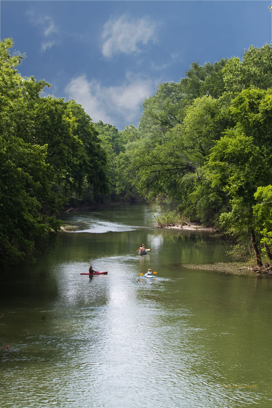
Harpeth River
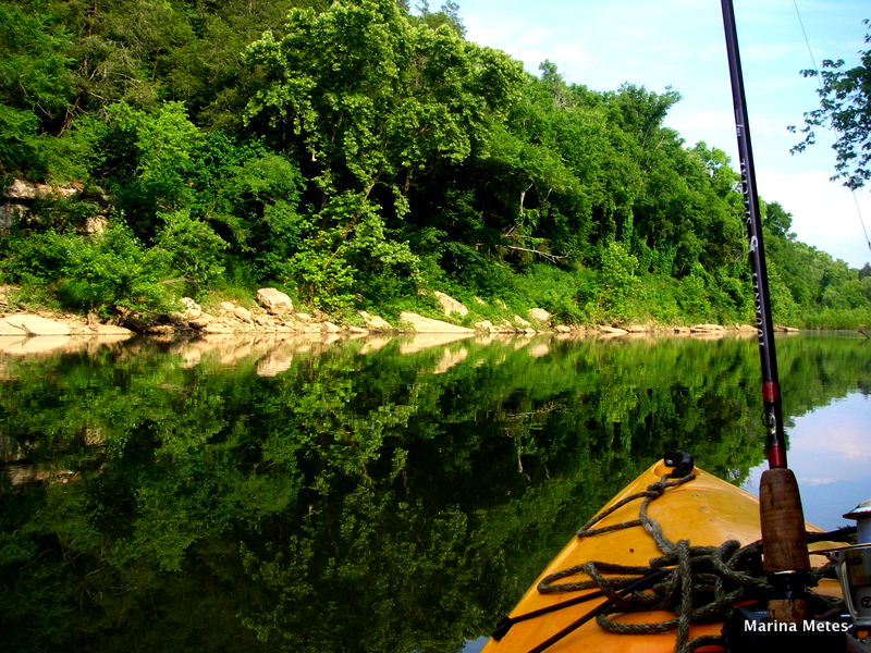
Duck River
Center Hill Lake
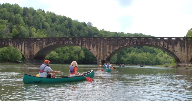
Cumberland River
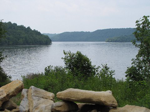
Tims Ford Lake
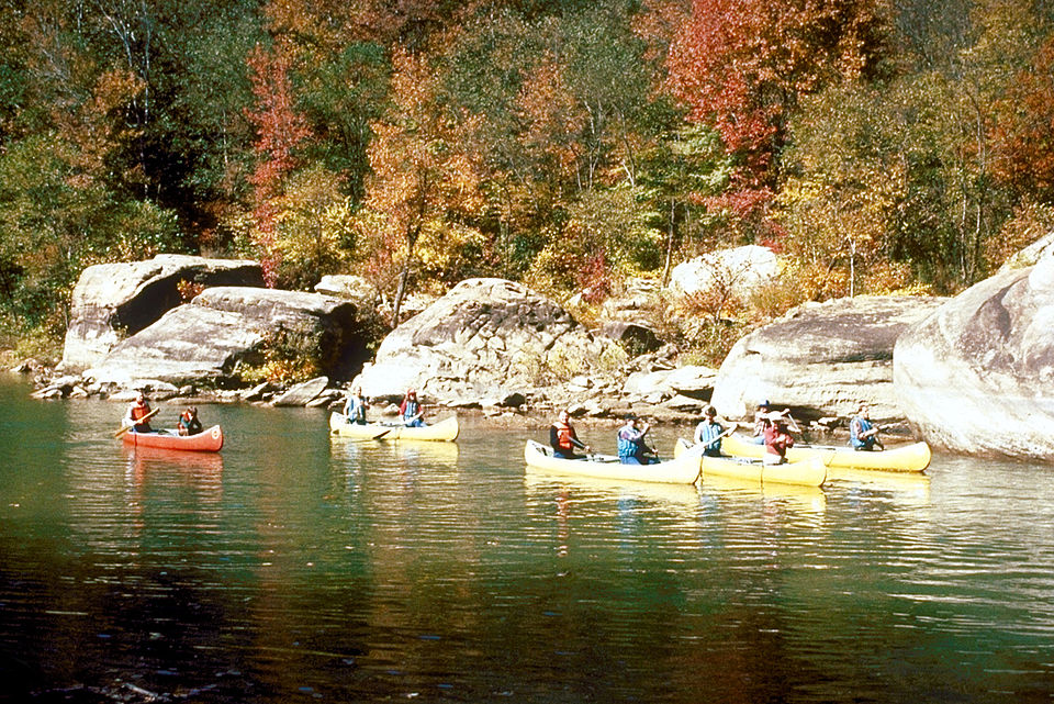
Caney Fork
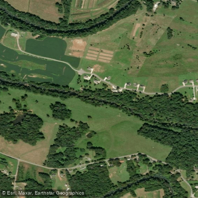
Collins River
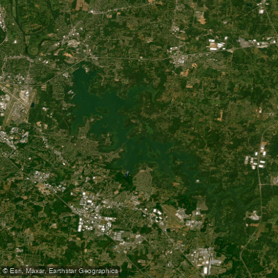
J Percy Priest Reservoir
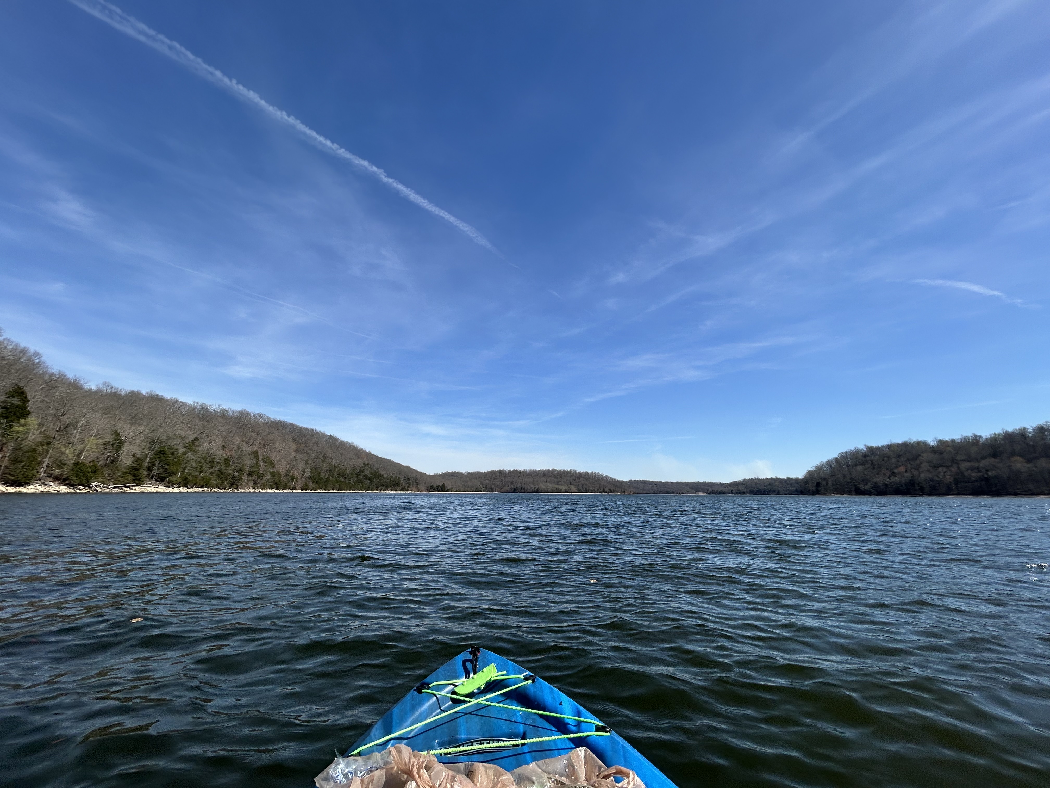
Normandy Lake
Explore Tennessee waters
Top paddling waters
Popular Cities
Loading popular cities...
Explore near West Fork Stones River
Access points
Nearby waters
More in Tennessee

Smarter Paddling Starts in the App.
Paddleways gives you everything you need to plan smarter, paddle better, and own every trip from first launch to takeout.