Paddling in Amistad National Recreation Area
- National Recreation Area
- Open 24 hours
- Lakes
- 2
- Rivers
- 13
- Access
- 3
- Boat Ramps
- 20
- Shops
- 0
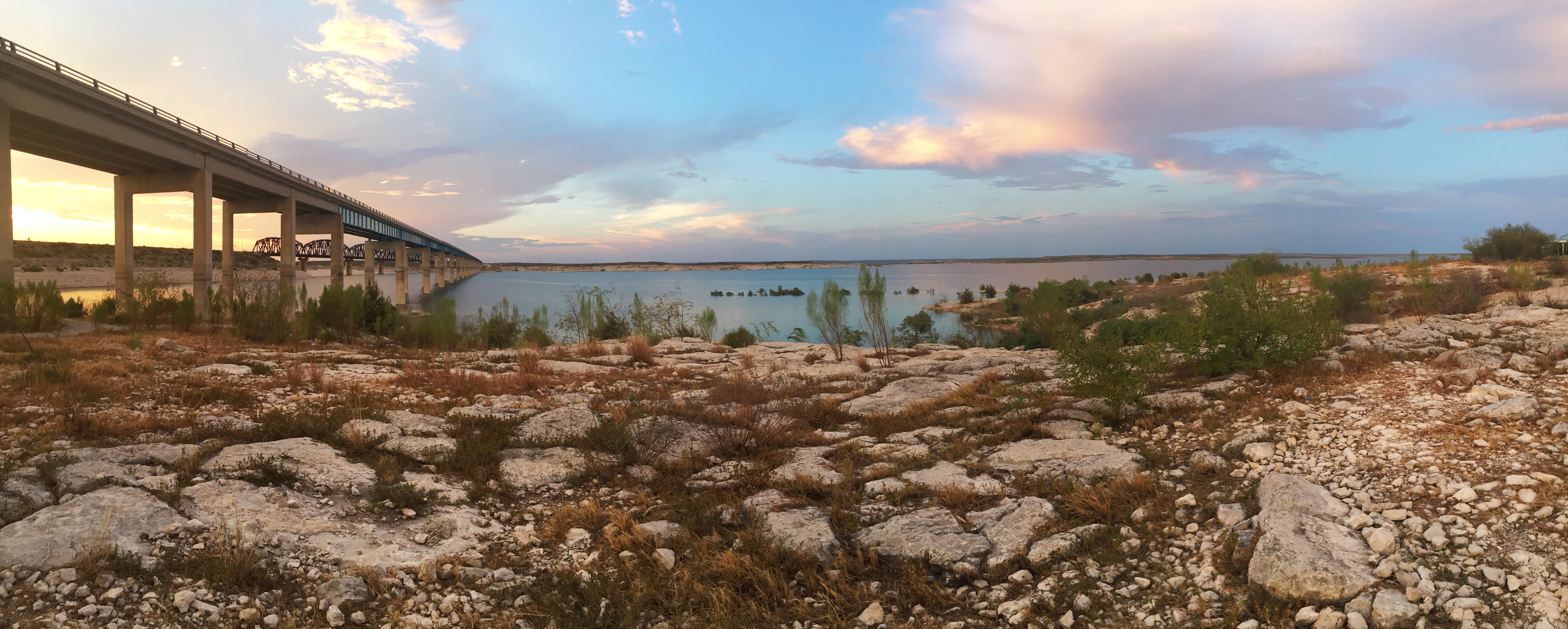
Amistad National Recreation Area sits on the Texas-Mexico border near Del Rio, where the Rio Grande and two of its tributaries — the Pecos and the Devils River — were impounded to form the International Amistad Reservoir.
The result is a body of water with a split personality: wide-open lake in one direction, steep-walled river canyons in another. That contrast defines the paddling here.
The park has mapped seven named paddle trails, all on the reservoir and its drowned canyon arms. Trails 1 and 2 launch from Spur 454 and Spur 406 respectively, putting you into the lake's more open reaches.
Trails 3 through 7 push into the canyon country — Box Canyon to Cow Creek, Rough Canyon to Indian Springs, and three routes along the Pecos arm that end at Parida Cave, Panther Cave, and the old Pecos Railroad Bridge.
None of these routes are marked on the water or shore; maps are available from the park, and you navigate by terrain. The canyon walls provide shade and drama, but they also funnel wind.
Expect 15–20 mph out of the south or southeast on a typical day; 20–30 mph gusts are common enough to plan around, and north winds can hit hard in fall and winter.
The Devils River trip — Bakers Crossing to Rough Canyon Marina — is a different undertaking entirely. It runs above the reservoir on moving water and requires coordination with Texas Parks & Wildlife Department, which manages permitting for that stretch.
The takeout at Rough Canyon Marina is inside the park. This trip does not require a TPWD permit if you're running only to Rough Canyon. Every vessel that requires Texas state boat registration must carry a daily or annual Amistad Lake Use Pass.
Seminole Canyon is closed to paddlers starting half a mile up from its confluence with the Rio Grande, marked with buoys. Interior Least Tern nesting areas on islands and peninsulas are closed to all use roughly May through August.
The lower Rio Grande below Amistad Dam is closed to unescorted public access.
Cell coverage is sparse across the reservoir, and park rangers cannot respond to calls for assistance from the Mexico side of the water — the international boundary runs through the middle of the lake. Heat, sun, and wind are the real variables here.
The desert context means shade is scarce once you leave the canyons, and drinking water doesn't exist on the water. The paddling rewards patience with the planning.
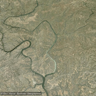
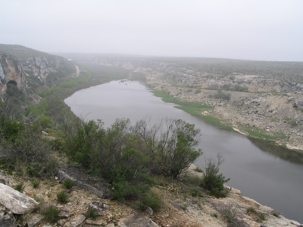
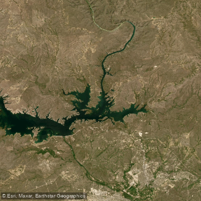
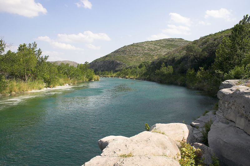
Top waters to paddle near Amistad National Recreation Area

Water and weather conditions (10 day forecast)
See the best times to paddle Amistad National Recreation Area and check the forecast before you go.
No forecast data available.
Park alerts & road status
Closures and conditions Amistad National Recreation Area has posted, from the National Park Service.
Checking the park's alerts…
Hours & fees
When Amistad National Recreation Area is open and what it costs to get in, from the National Park Service.
Hours
Open 24 hoursAmistad National Recreation Area is open throughout the year. However, some areas may experience temporary closures because of low water levels. Please see our Operation Hours and Seasons and Current Conditions pages for more specific details.
Entrance fees
No entrance fee is listed for this park.
Parking & getting around
Where to leave the car in Amistad National Recreation Area. Lots fill early on busy days, so plan where you will park before you head for the water.
Black Brush Point Parking
Paved parking lot with 24 standard parking spaces and two suitable for large vehicles or vehicles towing trailers. Adjacent to 5 picnic tables shaded by tin-roofed ramadas. Has both a high-water level and a low-water level ramp; however, location may be closed when lake level is less than 1083 feet above mean sea level (amsl).
Diablo East Main Parking
Paved parking lot will accommodate 14 standard vehicles and 46 oversized vehicles / those towing trailers. There are 2 designated disabled parking spaces that will accommodate vans. It is immediately adjacent to Ranger Station, several steel-roofed ramadas shading picnic tables, and accessible restrooms. It is near hiking trails and boat ramps, and an RV dump station (can be used with proof of in-park camping) and fish cleaning station are en route to this area. It is the most popular location for boating a
Diablo East Marina Parking
While the marina no longer exists, the expansive, paved parking lot still does and is the most popular area for fishing tournaments. It will accommodate 20 large vehicles / those towing trailers and 48 standard vehicles. Two spaces are designated disabled parking. This lot is immediately adjacent to the fish return tube and a restroom facility, and is near hiking trails, a boat ramp, and a Ranger Station. En route, are an RV dump station (can be used with proof of in-park camping) and fish cleaning station.
Diablo East Trailhead Parking (North Lot)
Paved overflow parking for 44 oversized vehicles / with trailer. Located near trailheads, boat ramp, Ranger Station, and comfort station.
Diablo East Trailhead Parking (South Lot)
Limited parking on gravel/dirt parking area with paved parking areas close to location.
Governors Landing Day Use Area Parking
Large, paved parking lot will accommodate large vehicles and those towing trailers, as well as the standard family cars and vans.
Pecos Day Use Parking
Large, paved parking lot with one designated disabled accessible parking space suitable for a van, 8 standard vehicle spaces, and 32 pull-through spaces suitable for oversized vehicles or those towing a trailer. Multiple picnic tables shaded by large tin-roofed ramadas with grills are adjacent to the lot as is a fish cleaning station and Pecos Nature Trail. Not far from the comfort station/restrooms. Potable water available.
Pecos River Boat Launch Parking
Paved parking lot will accommodate large vehicles and those towing trailers, as well as the standard family cars and vans.
Rough Canyon Comfort Station Parking
Paved parking lot will accommodate large vehicles and those towing trailers, as well as the standard family cars and vans.
Rough Canyon Fish Cleaning Station Parking
Paved parking lot will accommodate large vehicles and those towing trailers, as well as the standard family cars and vans.
Getting around
Amistad National Recreation Area is located on the US-Mexico border 7 miles west of the Del Rio city limit and 6 miles west of the US Highway 90 and 277 North intersection. The park is 160 miles west of San Antonio on US Highway 90 and about 230 miles east of Big Bend National Park via US Highway 90 and US Highway 385. Access to Amistad from the north or south is via US 277/377. The visitor center address is 10477 Highway 90 West, Del Rio, TX 78840.
Directions on nps.govPaddle smarter with real-time insights
Whether you're en route and conditions shift or you're looking for the best spot based on current flows, we enable you to make informed decisions on the fly.







Paddling near Amistad National Recreation Area
Loading...
Gateway towns
Where to base yourself for paddling in Amistad National Recreation Area.
- Del RioTX
Main gateway with the visitor center, boat launches, fishing guides, hunting permits, and lodging for the reservoir.
Amistad National Recreation Area paddling rules
The park's own rules, on top of Texas licenses and regulations. Limits, fees and closures change, so check the park's page before you go.

Amistad Lake Use Pass Required
Every motorized vessel that requires a Texas state boat registration must carry an Amistad Lake Use Pass. Pick up a daily or annual pass before you launch.

Clean, Drain, Dry Your Vessel
You must follow Clean, Drain, Dry procedures to stop aquatic invasive species from spreading. Do this every time you move your boat between water bodies.

Wear Your Life Jacket
The park strongly recommends that all passengers wear a life jacket while on the water. Have one on board for every person.

Closed Waters Exist
Seminole Canyon above 0.5 miles from the Rio Grande confluence and Government Cove at Diablo East are closed to all public use. Watch for buoys and signs marking these boundaries.

No Glass on the Water
Glass containers are prohibited throughout the park. Leave glass bottles behind and bring plastic or aluminum instead.
Explore Amistad National Recreation Area
Top paddling waters
Popular Cities
Loading popular cities...

Smarter Paddling Starts in the App.
Paddleways gives you everything you need to plan smarter, paddle better, and own every trip from first launch to takeout.