Brazos River

Brazos River
- Boat Ramps
- 34
- Access Points
- 38
- Campsites
- 43
The Brazos River, the longest river in Texas, flows for approximately 840 miles from its headwaters in eastern New Mexico and the Texas Panhandle to its mouth at the Gulf of Mexico. This iconic waterway traverses diverse landscapes, offering paddlers a rich variety of experiences as it winds through the heart of the Lone Star State.
The Brazos presents a range of paddling opportunities suitable for various skill levels. In its upper reaches, sections like the Double Mountain Fork and Salt Fork offer more challenging Class II-III whitewater experiences for intermediate to advanced paddlers. These 60+ mile stretches through Kent and Stonewall counties provide multi-day adventures through rugged, scenic terrain.
As the river flows southeast, it transitions to more placid waters, ideal for novice and family-friendly outings. Popular sections include the stretch from Lake Whitney Dam to Waco, featuring clear water and easy paddling. The Bosque Bluffs and Brazos Bridges Paddling Trails in Waco offer scenic urban paddling experiences, with impressive limestone bluffs and abundant wildlife.
Further downstream, the Stephen F. Austin Paddling Trail system in Brazoria County provides four connected trails totaling over 35 miles. These trails, including the Columbia Bottomland Waterway and Old Settlement Passage, showcase the river's lower reaches as it approaches the Gulf, offering glimpses of historic bridges and the region's rich natural heritage.
The Brazos is generally best paddled in spring and fall when water levels are optimal and temperatures are mild. Summer can bring low water conditions in some sections, while winter may see occasional high water events. Paddlers should always check current river conditions before embarking on a trip.
Wildlife enthusiasts will appreciate the diverse ecosystems along the Brazos. Bald eagles, herons, and numerous waterfowl species can be spotted, while white-tailed deer and beavers frequent the riverbanks. The Columbia Bottomlands in the lower reaches are particularly noted for their rich biodiversity.
Historical and cultural significance abounds along the Brazos. The river played a crucial role in early Texas settlement and was the site of Stephen F. Austin's original colony. Paddlers can explore this history at sites like Washington-on-the-Brazos State Historic Site or by visiting the numerous small towns that dot the river's course.
For those seeking multi-day adventures, the 40-mile stretch from Possum Kingdom Dam to Mineral Wells is a popular 4-day canoe trip. Rochelle's Canoe Rental near Graford offers convenient access to this scenic section, which features minimal development and ample sandbars for camping.
Safety considerations include being aware of potential low-head dams, especially near urban areas, and watching for strainers in more remote sections. Paddlers should always wear life jackets and be prepared for changing weather conditions.
Access points are plentiful along the Brazos, with numerous state parks, county parks, and private outfitters providing put-in and take-out locations. Major towns like Waco, College Station, and Richmond offer convenient bases for river trips.
Whether you're seeking a peaceful day float or an extended wilderness experience, the Brazos River offers a paddling adventure to suit every taste, inviting exploration of Texas's natural beauty and rich history.
Water access, boat ramps & amenities
Learn how to get on Brazos River. Uncover great paddling access points, boat ramps, and all the facilities you need for an unforgettable day on the water. Some locations shown may border or include private property. Always check property boundaries and applicable regulations before visiting. PaddleWays's Public & Private Land layer can help you plan your access with confidence.
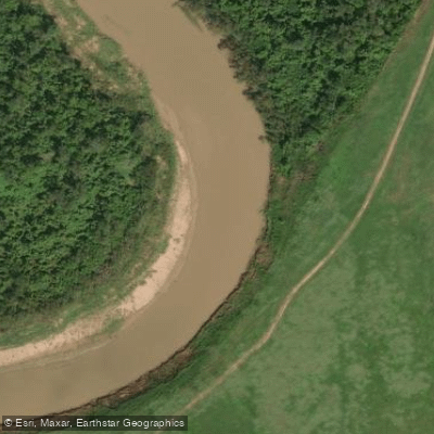
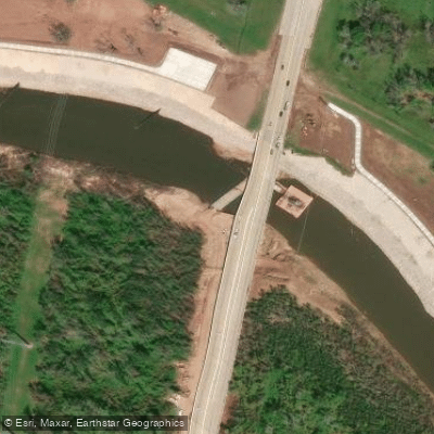
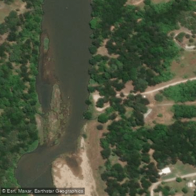
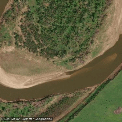
Paddle smarter with real-time insights
Whether you're en route and conditions shift or you're looking for the best spot based on current flows, we enable you to make informed decisions on the fly.








Find Places to Paddle

Over 400,000 Places to Paddle
Every user gets free access to launch points, boat ramps, and public property parcels.


Water and weather conditions (10 day forecast)
See the best times to paddle Brazos River and check the forecast before you go.
Brazos Rv at Seymour, TX
All Flow Stations
Paddling near Brazos River
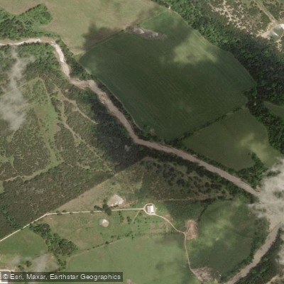
North Bosque River
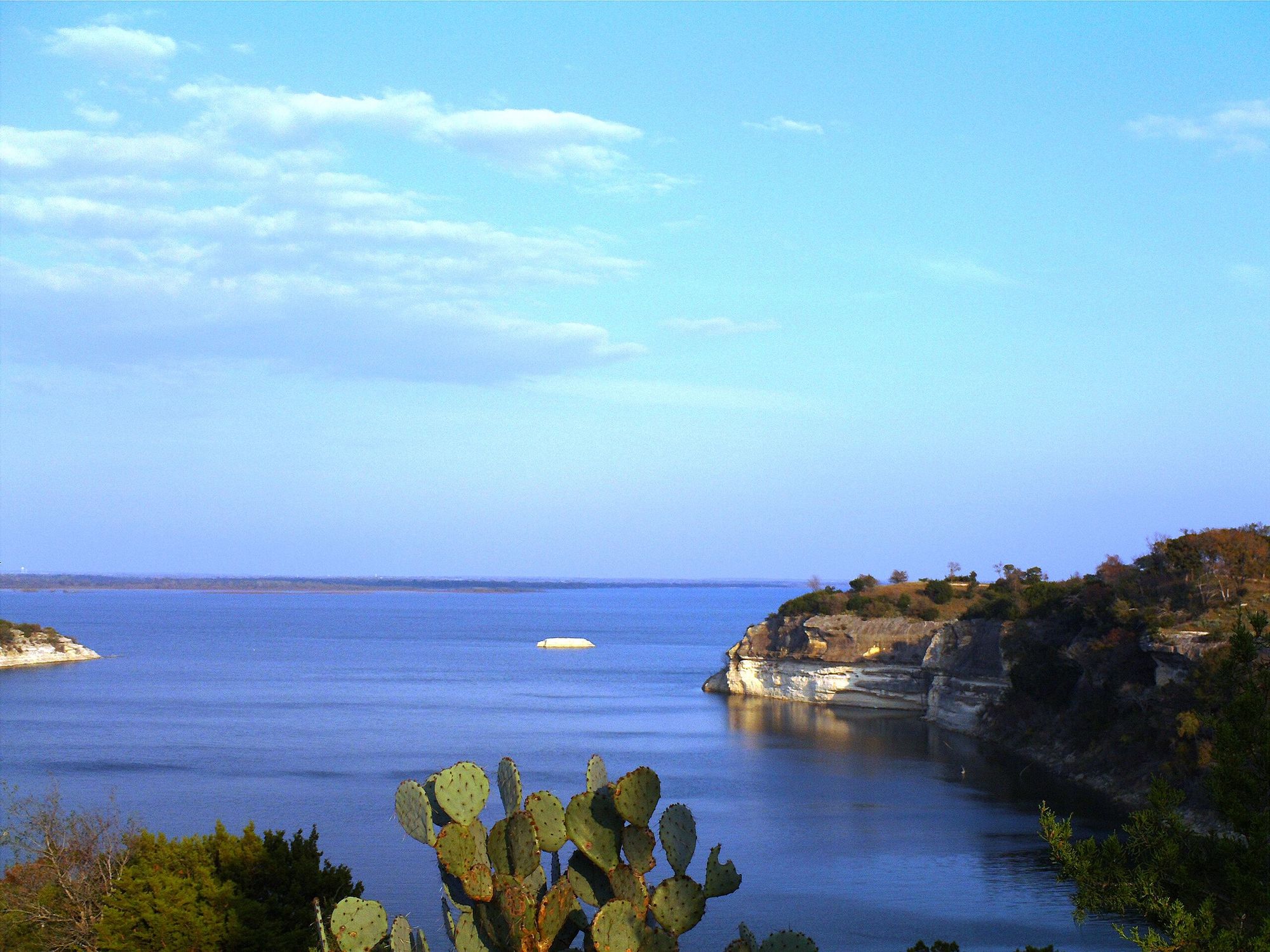
Lake Whitney
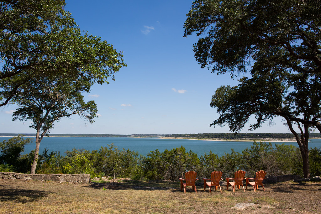
Belton Lake
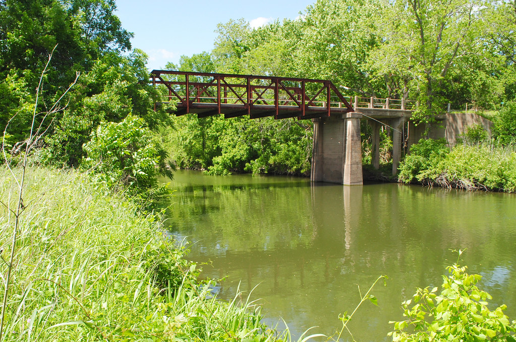
Navasota River
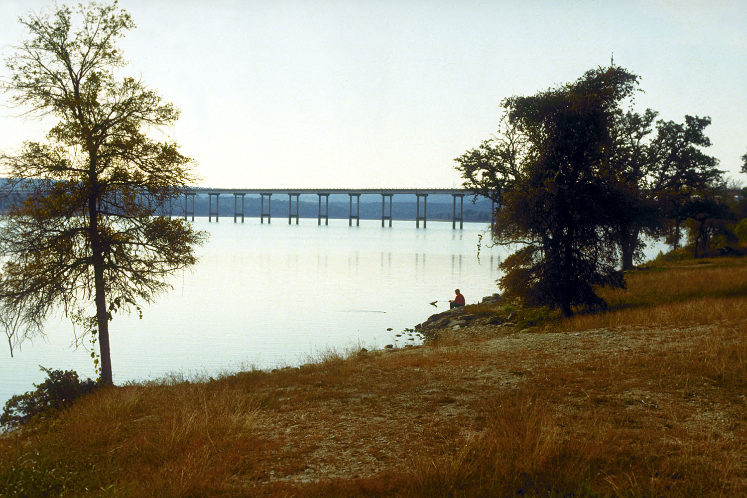
Stillhouse Hollow Lake
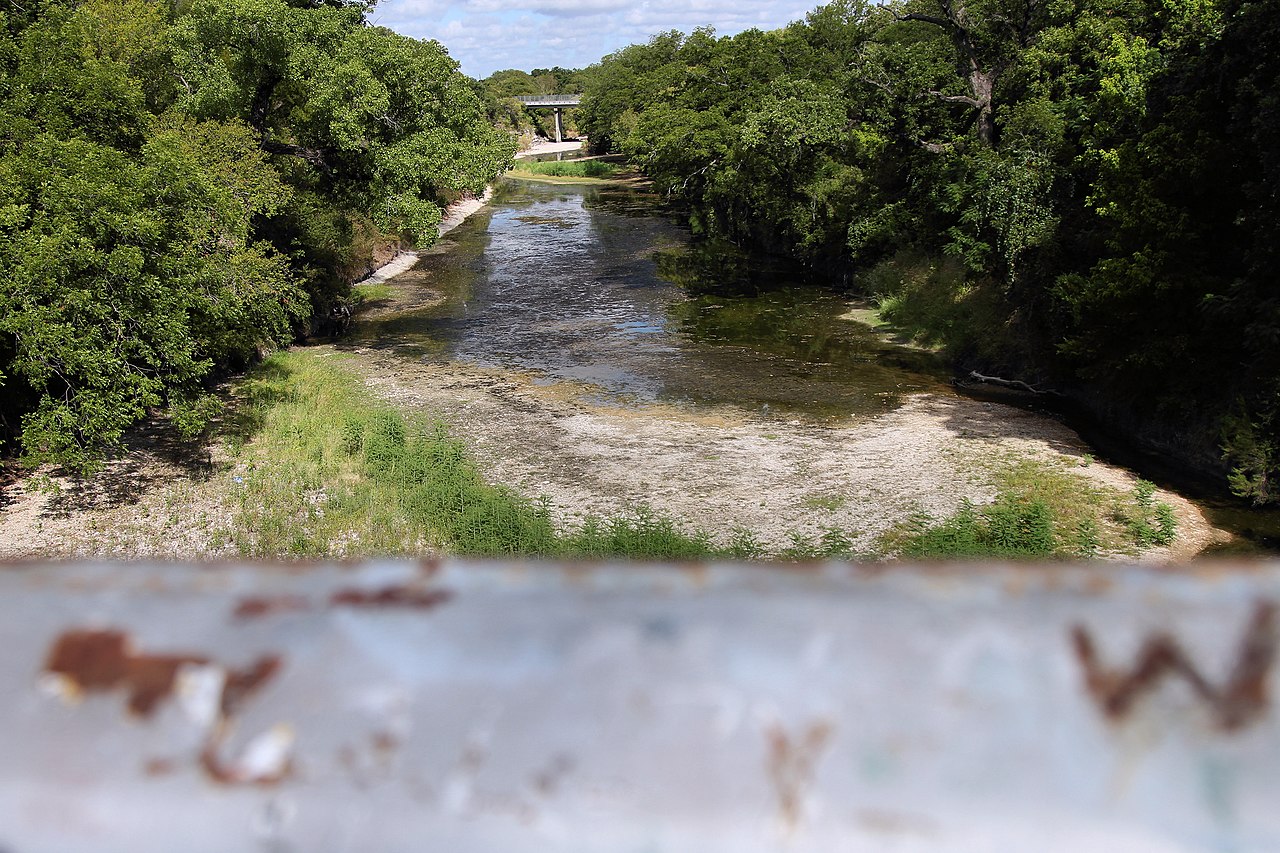
Lampasas River
Waco Lake
Tradinghouse Creek Reservoir
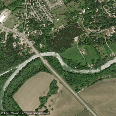
Bosque River
Explore Texas waters
Top paddling waters
Popular Cities
Loading popular cities...
Explore near Brazos River
Access points
Nearby waters
More in Texas

Smarter Paddling Starts in the App.
Paddleways gives you everything you need to plan smarter, paddle better, and own every trip from first launch to takeout.