Lampasas River
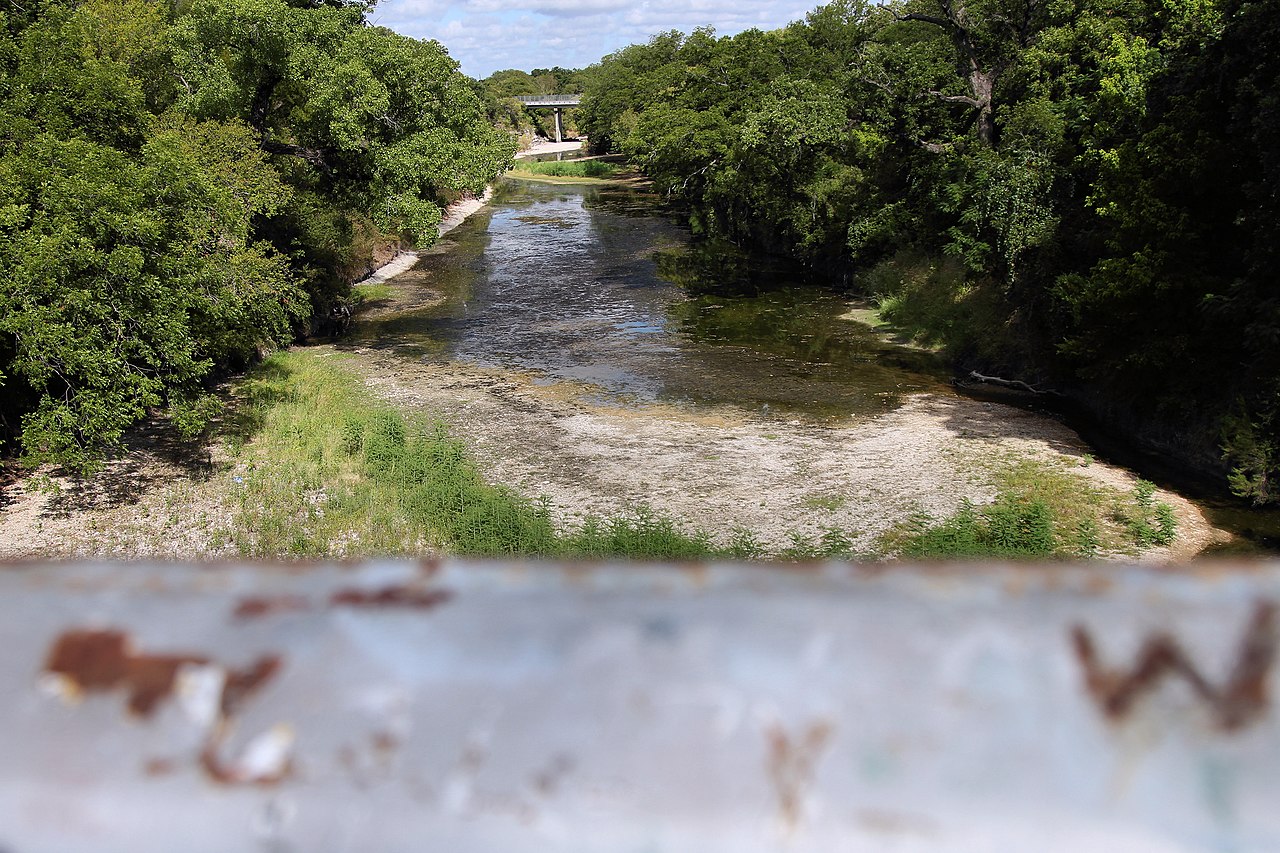
Lampasas River
- Boat Ramps
- 2
- Access Points
- 8
- Campsites
- 5
The Lampasas River is a scenic waterway in central Texas, originating in western Mills County and flowing southeast for approximately 75 miles before joining the Leon River to form the Little River, a tributary of the Brazos. The river passes through the Texas Hill Country, draining portions of Mills, Lampasas, Burnet, and Bell counties. Paddling opportunities on the Lampasas vary greatly depending on rainfall and releases from Stillhouse Hollow Dam. The upper reaches above Stillhouse Hollow Lake offer a more natural, undeveloped paddling experience when water levels permit. Below the dam, recreational paddling is possible during controlled releases, with several access points along the 17.5-mile stretch to the confluence with the Leon River.
The difficulty of paddling the Lampasas ranges from Class I flatwater to Class II+ rapids, depending on the section and water levels. The upper sections require more skill to navigate potential hazards like log jams and strainers, especially after heavy rains. Below Stillhouse Hollow Dam, the river is generally more forgiving but can become swift during high releases. Spring and fall are typically the best seasons for paddling, when rainfall and releases are more consistent. Summer often brings low water conditions, while winter can be unpredictable. Paddlers should always check current flow rates and release schedules before planning a trip.
The river corridor supports diverse wildlife, including white-tailed deer, wild turkeys, and various fish species. The surrounding landscape features limestone bluffs, pecan bottoms, and oak-juniper woodlands typical of the Texas Hill Country. Notable landmarks include the historic town of Lampasas, known for its mineral springs, and Stillhouse Hollow Lake, a popular recreational area. Access points are available at several road crossings, with key put-ins near Lampasas, Youngsport, and below Stillhouse Hollow Dam.
The Lampasas River played a role in early Texas settlement and continues to be an important water source for the region. Today, it offers a mix of scenic beauty and recreational opportunities for paddlers, anglers, and nature enthusiasts. Safety considerations include checking water levels, being aware of potential strainers and log jams, and respecting private property along the banks. Some sections may require a Texas Parks and Wildlife Department public river access lease agreement. While most paddling trips on the Lampasas are day excursions, multi-day trips are possible on the upper reaches during favorable conditions, though camping options are limited and should be carefully planned.
Water access, boat ramps & amenities
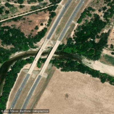
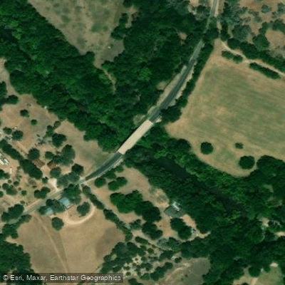
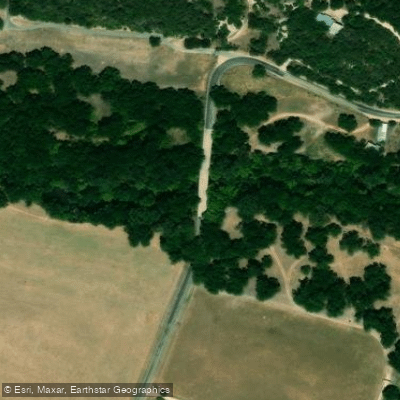
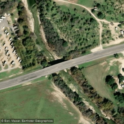
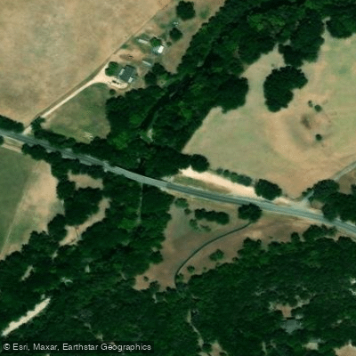
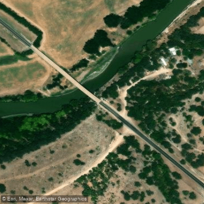
Learn how to get on Lampasas River. Uncover great paddling access points, boat ramps, and all the facilities you need for an unforgettable day on the water. Some locations shown may border or include private property. Always check property boundaries and applicable regulations before visiting. PaddleWays's Public & Private Land layer can help you plan your access with confidence.
Paddle smarter with real-time insights
Whether you're en route and conditions shift or you're looking for the best spot based on current flows, we enable you to make informed decisions on the fly.








Find Places to Paddle

Over 400,000 Places to Paddle
Every user gets free access to launch points, boat ramps, and public property parcels.


Water and weather conditions (10 day forecast)
See the best times to paddle Lampasas River and check the forecast before you go.
Lampasas Rv at Ding Dong, TX
All Flow Stations
Paddling near Lampasas River
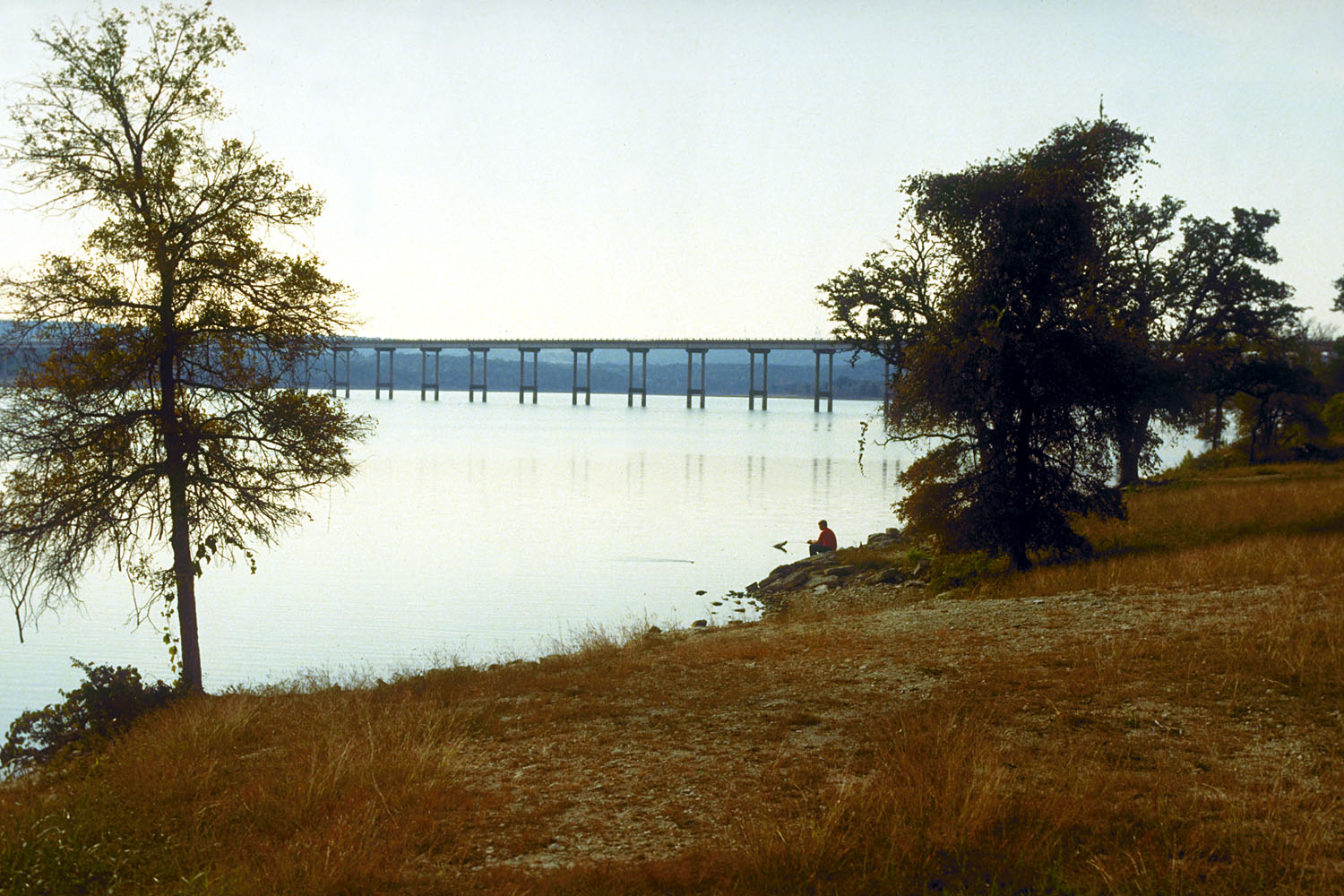
Stillhouse Hollow Lake
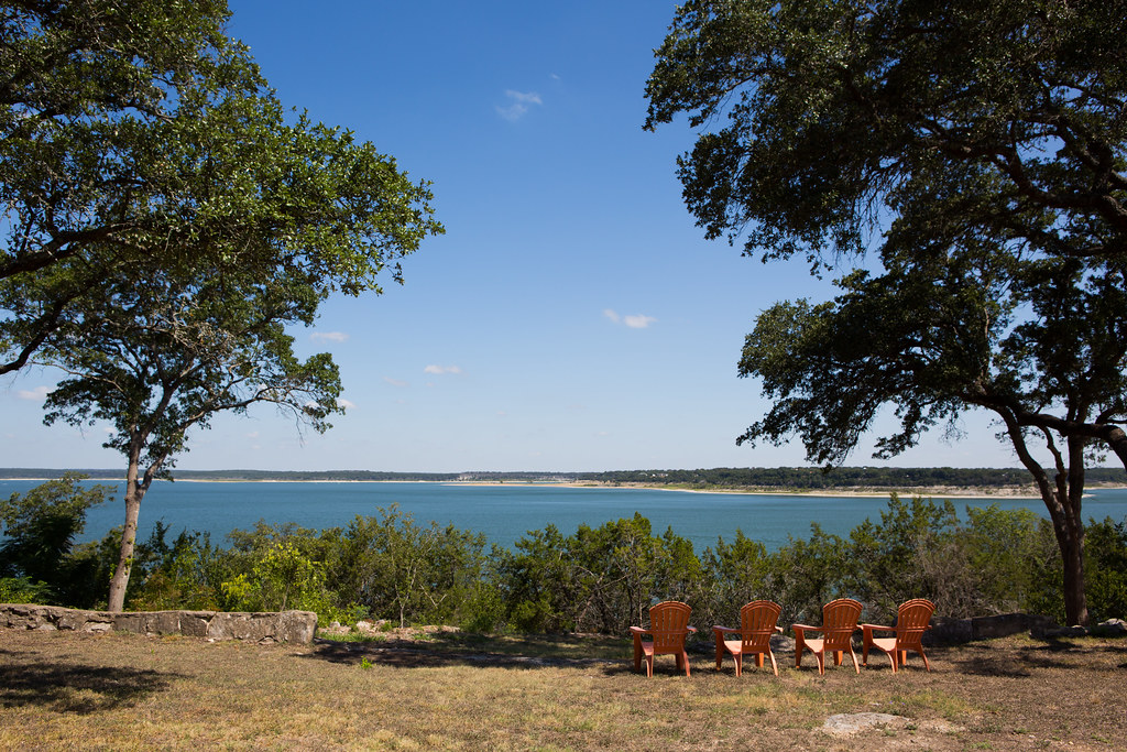
Belton Lake
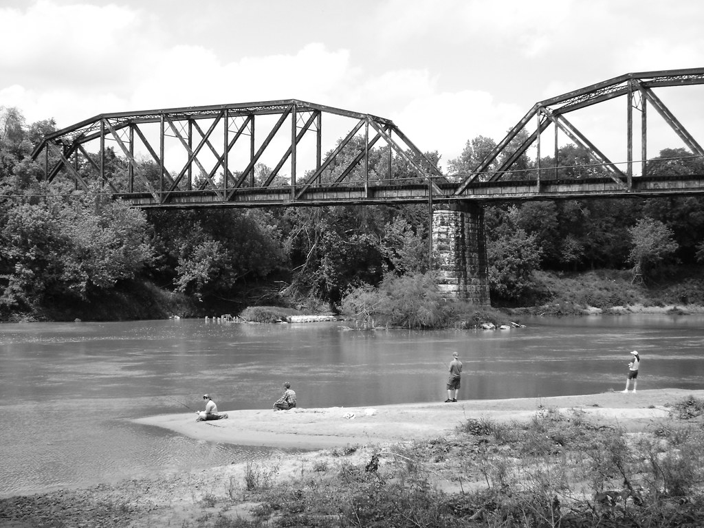
Colorado River
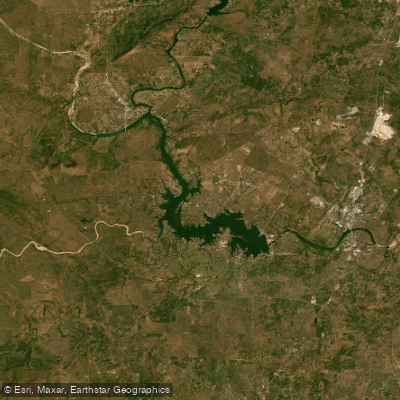
Lake Lyndon B Johnson
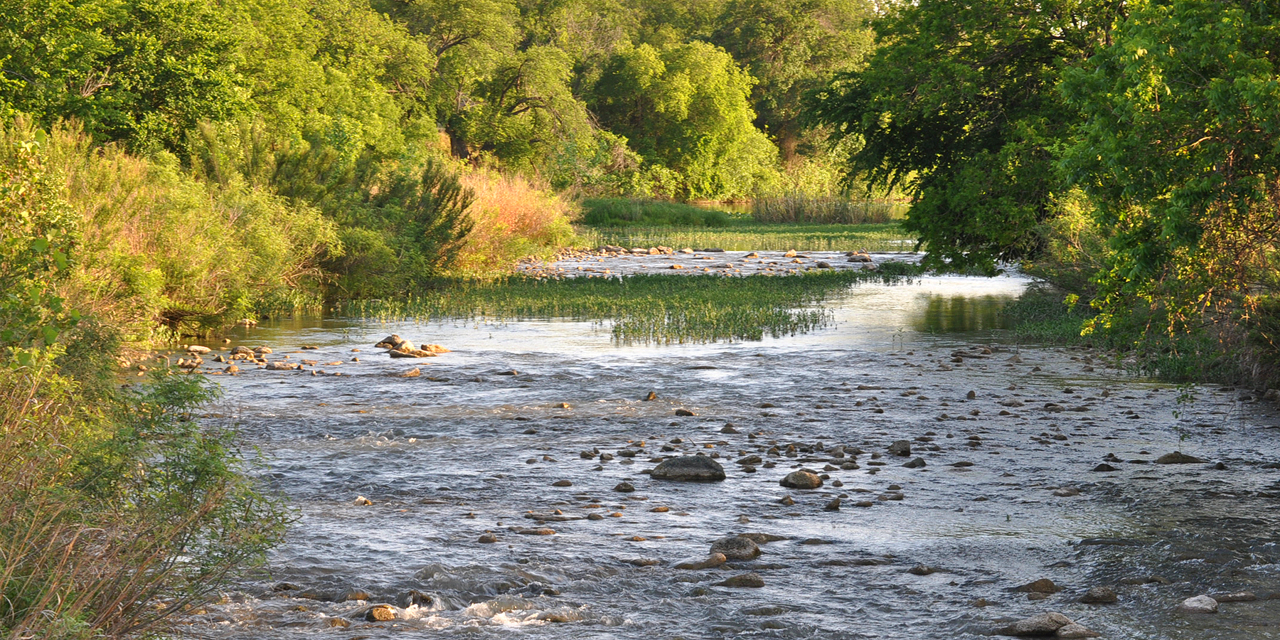
San Saba River
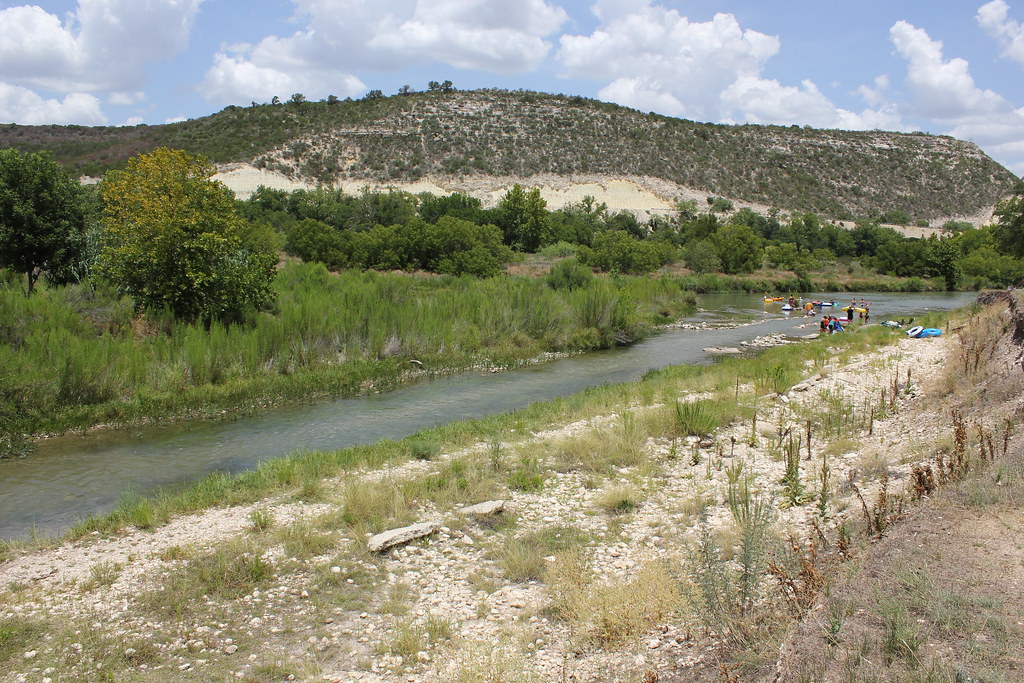
Llano River
North Bosque River
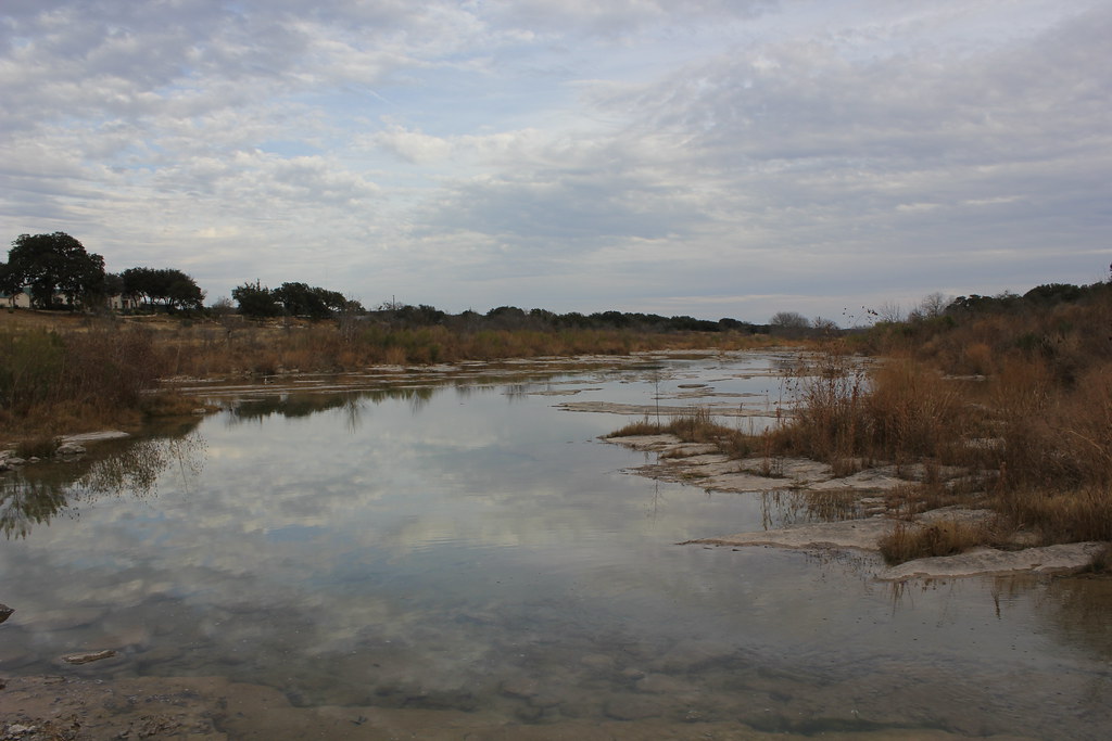
Pedernales River
Cowhouse Creek
Explore Texas waters
Top paddling waters
Popular Cities
Loading popular cities...
Explore near Lampasas River
Access points
Nearby waters
More in Texas

Smarter Paddling Starts in the App.
Paddleways gives you everything you need to plan smarter, paddle better, and own every trip from first launch to takeout.