Elm Creek
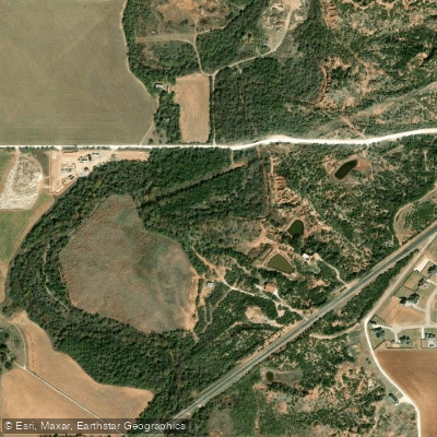
Elm Creek
- Boat Ramps
- 1
- Access Points
- 1
- Campsites
- 5
Elm Creek originates approximately three miles southeast of Nolan in Nolan County, Texas, at an elevation near 2,300 feet above sea level. From its headwaters, the creek flows in a predominantly northeasterly direction for roughly 60 miles before joining the Clear Fork of the Brazos River in Jones County, just north of Historic Fort Phantom Hill. This tributary system drains portions of the Rolling Plains where they meet the Edwards Plateau, creating a landscape characterized by mesquite, juniper, live oak, and native grasses along its banks.
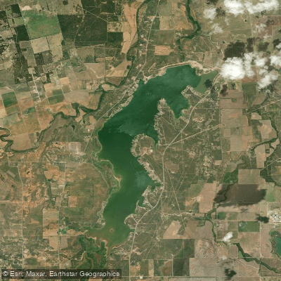
The creek's most significant impoundment occurs at Lake Fort Phantom Hill in Jones County, a 4,213-acre reservoir constructed between 1937 and 1938. This lake, owned and operated by the City of Abilene, provides municipal water supply while creating a substantial aquatic environment along Elm Creek's course. The dam stands 84 feet high with an earthfill embankment stretching 3,740 feet, and the reservoir holds approximately 70,036 acre-feet of water at conservation pool elevation.
Through Taylor County, Elm Creek passes through Abilene State Park near Buffalo Gap, where the Civilian Conservation Corps developed recreational facilities in the 1930s. The park preserves 529 acres along the creek's shady banks, featuring historic stone structures designed by architect David S. Castle. The creek's flow through this section supports diverse wildlife including white-tailed deer and numerous bird species, with the park maintaining nature trails and educational programs highlighting the riparian ecosystem.
The watershed encompasses approximately 470 square miles of semi-arid terrain where precipitation averages 20-25 inches annually. Flow patterns reflect this climate, with the creek experiencing intermittent conditions during drought periods and substantial flows following significant rainfall events. The terrain transitions from steeply sloping benches near the headwaters to flatter topography with local scarps in the middle reaches, ultimately ending in relatively flat terrain with clay surfaces near the confluence.
Historic Fort Phantom Hill, established in 1851 as part of the second line of frontier forts protecting westward settlement, sits near the creek's terminus. The post, originally called the "Post on the Clear Fork of the Brazos," was occupied until 1854 and remains one of Texas's most pristine historic military sites. The fort's proximity to Elm Creek was strategic, providing water access for the garrison.
Access to Elm Creek is primarily through Abilene State Park and the Lake Fort Phantom Hill area, with the city of Abilene serving as the primary population center for the watershed. The creek's intermittent nature and reservoir impoundment limit traditional paddling opportunities, though the lake itself supports recreational boating and fishing activities.
Water access, boat ramps & amenities
Learn how to get on Elm Creek. Uncover great paddling access points, boat ramps, and all the facilities you need for an unforgettable day on the water. Some locations shown may border or include private property. Always check property boundaries and applicable regulations before visiting. PaddleWays's Public & Private Land layer can help you plan your access with confidence.
Paddle smarter with real-time insights
Whether you're en route and conditions shift or you're looking for the best spot based on current flows, we enable you to make informed decisions on the fly.








Find Places to Paddle

Over 400,000 Places to Paddle
Every user gets free access to launch points, boat ramps, and public property parcels.


Water and weather conditions (10 day forecast)
See the best times to paddle Elm Creek and check the forecast before you go.
Elm Ck at Abilene, TX
All Flow Stations
Paddling near Elm Creek
Lake Fort Phantom Hill
Clear Fork Brazos River
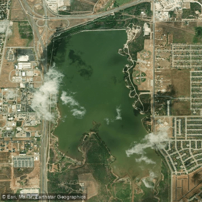
Kirby Lake
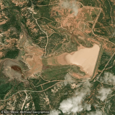
Lake Abilene
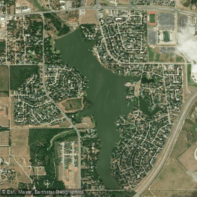
Lytle Lake
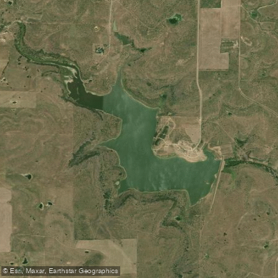
Soil Conservation Service Site 7 Reservoir
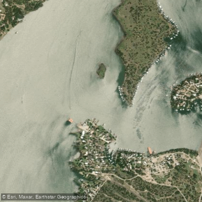
Pecan Bayou
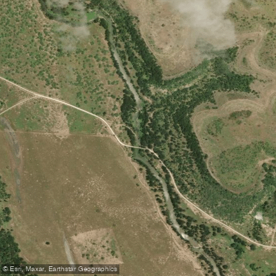
Jim Ned Creek
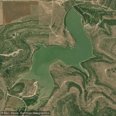
Baird Lake
Explore Texas waters
Top paddling waters
Popular Cities
Loading popular cities...
Explore near Elm Creek
Access points
Nearby waters
More in Texas

Smarter Paddling Starts in the App.
Paddleways gives you everything you need to plan smarter, paddle better, and own every trip from first launch to takeout.