Jim Ned Creek
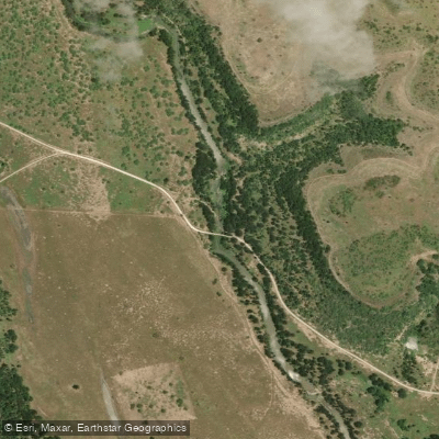
Jim Ned Creek
- Boat Ramps
- 1
- Access Points
- 1
- Campsites
- 9
Jim Ned Creek originates in southeastern Taylor County near Tuscola and flows southeasterly for approximately 73 miles through Taylor, Coleman, and Brown counties before emptying into Pecan Bayou at Lake Brownwood. The creek drains a watershed of nearly 1,000 square miles across this region of the Texas Rolling Plains and Cross Timbers. The waterway takes its name from Jim Ned, an Indian cavalry scout who served with the U.S. Army during the frontier era.
The creek's course traverses a landscape that has undergone significant transformation since European settlement in the mid-1800s. Historical accounts describe the area as once dominated by vast midgrass to tallgrass prairies, but overgrazing and the cessation of natural fire regimes led to dramatic woody plant encroachment, particularly mesquite, by the early 20th century.
Lake Coleman, formed by damming Jim Ned Creek in 1966, provides water supply for the city of Coleman and creates a significant impoundment in Coleman County. The reservoir has a conservation storage capacity of 40,000 acre-feet and serves municipal, industrial, and recreational purposes.
The creek's hydrology is characterized by intermittent flow patterns typical of semi-arid Texas streams. Average annual precipitation across the watershed ranges from approximately 24 to 27 inches, with the eastern portions receiving slightly more moisture. The drainage area contains predominantly clay and loam soils, with the Tarrant, Speck, and Callahan soil series being particularly common. These soils, combined with the region's geology of Pennsylvanian and Permian limestone, shale, and sandstone formations, influence both surface runoff characteristics and groundwater recharge.
Major tributaries include Hords Creek, which joins Jim Ned Creek in Coleman County after flowing from its headwaters near Valera. The North Fork of Hords Creek and the main stem of Hords Creek both contribute significant drainage to the system. Hords Creek Reservoir, constructed in the upper watershed, provides additional water storage for Coleman.
The riparian corridor historically supported bottomland species including pecan, elm, and cottonwood, though these communities have been reduced and altered over time. Upland areas now feature mesquite-grassland savanna with scattered oak mottes. White-tailed deer populations provide important recreational hunting opportunities for landowners throughout the watershed.
Access to Jim Ned Creek is limited by private land ownership throughout most of its course. The towns of Coleman, Santa Anna, and Novice in Coleman County, and Brownwood in Brown County, serve as the primary population centers near the creek. Public access points are primarily associated with Lake Coleman and the Lake Brownwood area where Jim Ned Creek reaches its confluence with Pecan Bayou.
Water access, boat ramps & amenities
Learn how to get on Jim Ned Creek. Uncover great paddling access points, boat ramps, and all the facilities you need for an unforgettable day on the water. Some locations shown may border or include private property. Always check property boundaries and applicable regulations before visiting. PaddleWays's Public & Private Land layer can help you plan your access with confidence.
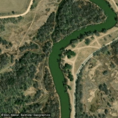
Paddle smarter with real-time insights
Whether you're en route and conditions shift or you're looking for the best spot based on current flows, we enable you to make informed decisions on the fly.








Find Places to Paddle

Over 400,000 Places to Paddle
Every user gets free access to launch points, boat ramps, and public property parcels.


Water and weather conditions (10 day forecast)
See the best times to paddle Jim Ned Creek and check the forecast before you go.
Jim Ned Ck at CR 140 nr Coleman, TX
Paddling near Jim Ned Creek
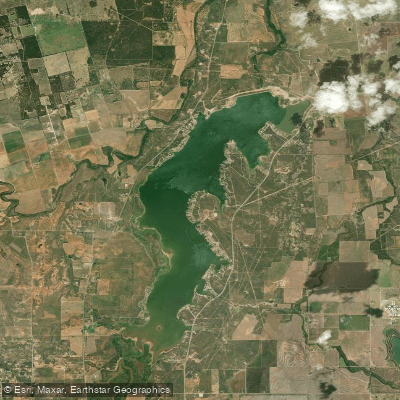
Lake Fort Phantom Hill
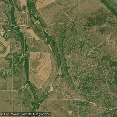
Clear Fork Brazos River
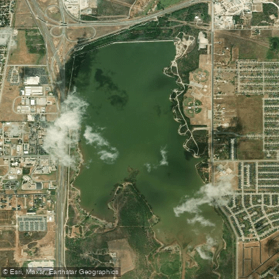
Kirby Lake
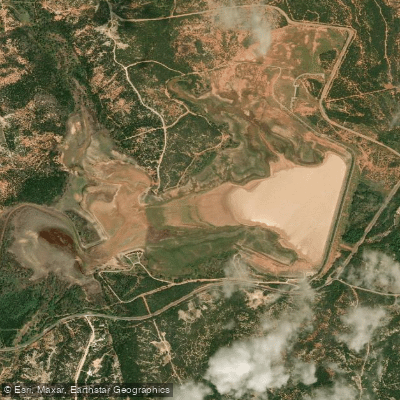
Lake Abilene
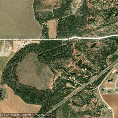
Elm Creek
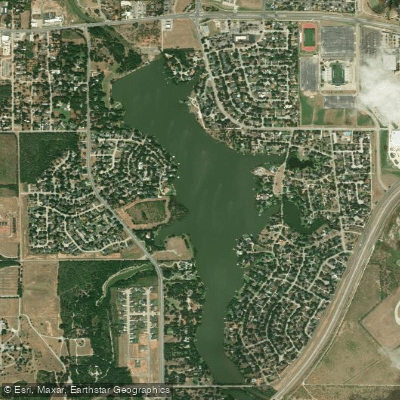
Lytle Lake
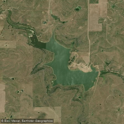
Soil Conservation Service Site 7 Reservoir
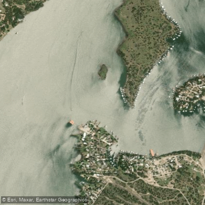
Pecan Bayou
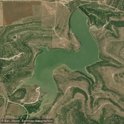
Baird Lake
Explore Texas waters
Top paddling waters
Popular Cities
Loading popular cities...
Explore near Jim Ned Creek
Access points
Nearby waters
More in Texas

Smarter Paddling Starts in the App.
Paddleways gives you everything you need to plan smarter, paddle better, and own every trip from first launch to takeout.