Elm Fork Trinity River
Elm Fork Trinity River
- Boat Ramps
- 3
- Access Points
- 5
- Campsites
- 14
The Elm Fork Trinity River is a major tributary of the Trinity River in north central Texas. It originates in Montague County and flows southeast for approximately 85 miles before joining the West Fork Trinity River in Dallas County to form the main stem of the Trinity River. The Elm Fork watershed covers about 2,500 square miles.
Paddling opportunities abound on the Elm Fork, with the most popular section being the 30-mile stretch from Lake Lewisville Dam to California Crossing Dam. This segment offers scenic flatwater paddling suitable for beginners to intermediate paddlers. The river flows clear and cool for the first 8 miles below Lake Lewisville, providing an enjoyable experience through the Trinity River National Water Trail. The overall difficulty is flatwater with occasional swift water sections, particularly near Hebron Parkway. Most paddlers can comfortably navigate the river, though some basic paddling skills are recommended.
The best paddling times are spring through fall, with summer offering warm water but potentially low flows. Notable wildlife includes herons, egrets, and various fish species. The riparian corridor supports diverse plant life, transitioning from post oak savanna to blackland prairie ecosystems.
Key landmarks include the historical site of Bird's Fort near present-day Euless and the gigantic Sam Rayburn Tollway bridge. Popular access points include Lake Lewisville Dam (LLELA) in Lewisville, Trinity River Kayak Co. in Coppell, California Crossing Dam in Dallas, and McInnish Park in Carrollton. The John F. Burke Nature Preserve in Farmers Branch offers a unique 104-acre ecosystem along the river with a potential future paddle drop.
Historically, the Elm Fork was an important transportation route for Native Americans and early settlers. Today, it serves as a vital water source for the Dallas-Fort Worth Metroplex while offering recreational opportunities.
Safety considerations include checking water levels and flow rates, especially after heavy rains. Paddlers should be aware of low-head dams and potential logjams. Multi-day trips are possible by camping at designated sites along the Trinity River Paddle Trail.
The Elm Fork Trinity River provides a surprisingly natural escape within an urban setting, offering paddlers a chance to explore the river's beauty and ecological significance in the heart of the Dallas-Fort Worth area.
Water access, boat ramps & amenities
Learn how to get on Elm Fork Trinity River. Uncover great paddling access points, boat ramps, and all the facilities you need for an unforgettable day on the water. Some locations shown may border or include private property. Always check property boundaries and applicable regulations before visiting. PaddleWays's Public & Private Land layer can help you plan your access with confidence.
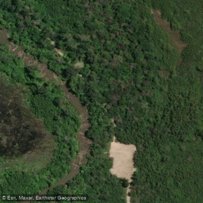
380 Greenbelt Trailhead Access
Hebron Parkway Access
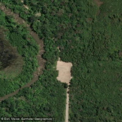
380 Greenbelt Trailhead Access
Paddle smarter with real-time insights
Whether you're en route and conditions shift or you're looking for the best spot based on current flows, we enable you to make informed decisions on the fly.








Find Places to Paddle

Over 400,000 Places to Paddle
Every user gets free access to launch points, boat ramps, and public property parcels.


Water and weather conditions (10 day forecast)
See the best times to paddle Elm Fork Trinity River and check the forecast before you go.
Elm Fk Trinity Rv at Gainesville, TX
All Flow Stations
Paddling near Elm Fork Trinity River
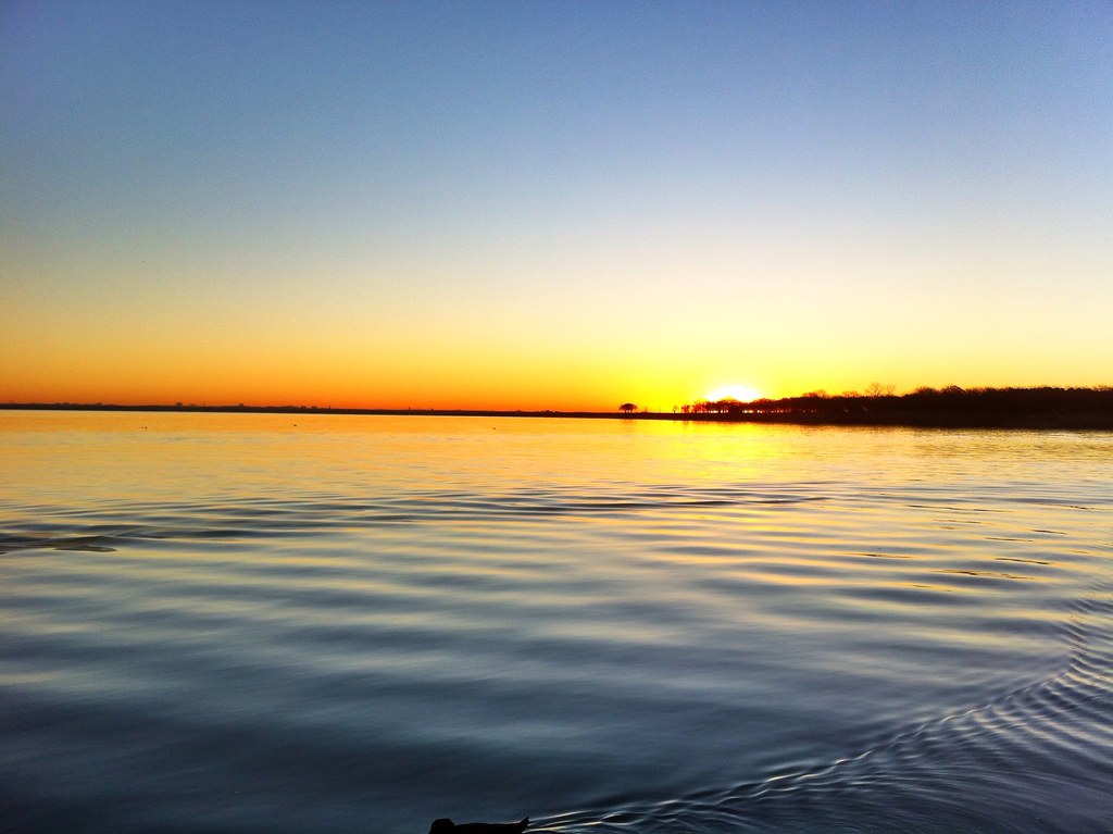
Lake Lewisville
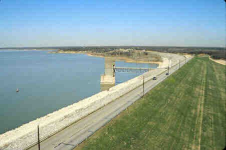
Grapevine Lake

Red River
West Fork Trinity River
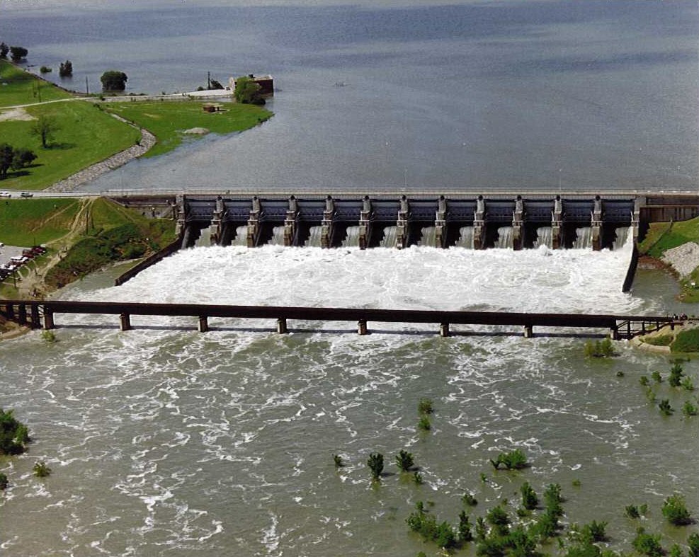
Lavon Lake

Trinity River
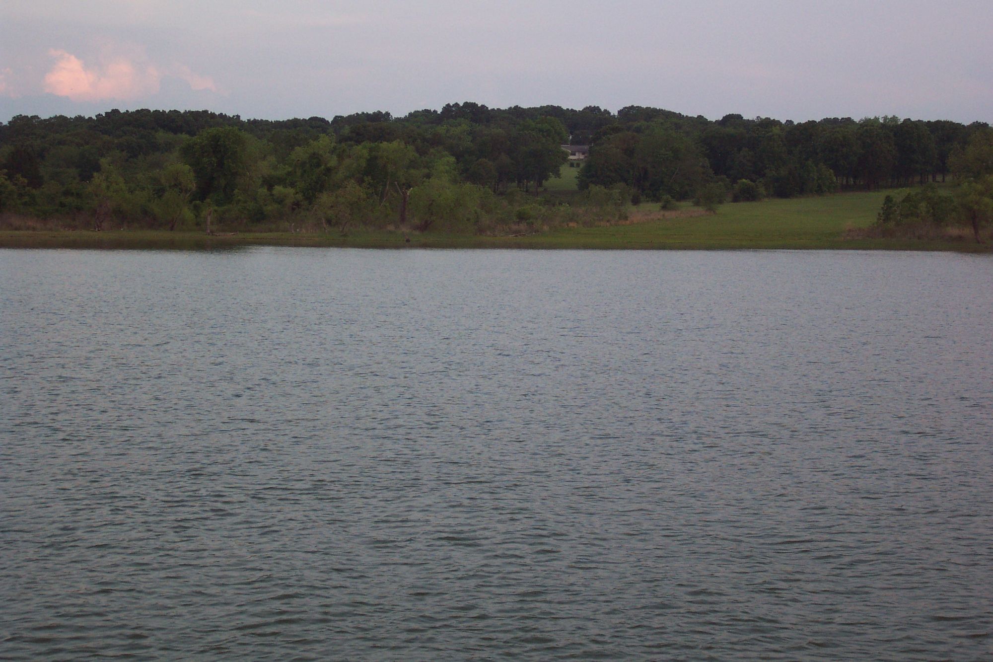
Lake Texoma
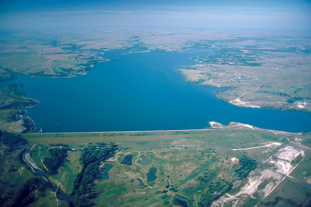
Benbrook Lake
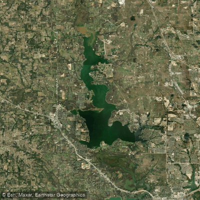
Eagle Mountain Lake
Explore Texas waters
Top paddling waters
Popular Cities
Loading popular cities...
Explore near Elm Fork Trinity River
Access points
- Elm Fork Boat Ramp
- Elm Fork ot the Trinity Boat Ramp
- Elm Fork of the Trinity Boat Ramp
- 380 Greenbelt Trailhead Access
- 380 Greenbelt Trailhead Access
- Elm Fork Trinity River & Rr Bridge
- Elm Fork Trinity River Bridge
- Scott Creek Bridge
- Hutton Branch Bridge
- Drain Bridge
- Delaware Creek Bridge
- Delaware Creek Bridge
- All 42 spots
Nearby waters
More in Texas

Smarter Paddling Starts in the App.
Paddleways gives you everything you need to plan smarter, paddle better, and own every trip from first launch to takeout.