West Fork Trinity River
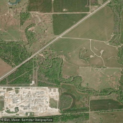
West Fork Trinity River
- Boat Ramps
- 4
- Access Points
- 4
- Campsites
- 39
The West Fork Trinity River is a major tributary of the Trinity River system in north central Texas. It originates in Archer County and flows southeast for approximately 150 miles before joining the Clear Fork near downtown Fort Worth. From there, it continues eastward through the Dallas-Fort Worth Metroplex, eventually merging with the Elm Fork to form the main stem of the Trinity River in Dallas. This urban river offers diverse paddling opportunities, ranging from peaceful nature excursions to more adventurous trips through developed areas. The river is generally considered flatwater with occasional swift water sections, making it suitable for paddlers of various skill levels. However, multiple low-head dams require portaging and caution.
Several established paddling trails exist along the West Fork, including: 1. Fort Worth Nature Center & Refuge Paddling Trail: A scenic 6-7 mile loop offering a peaceful nature experience. 2. River Legacy Parks Paddling Trail: An urban out-and-back route in Arlington, customizable from 2-8 miles. 3. Handley-Ederville Rd. to River Legacy Park: A longer 13.25-mile stretch suitable for day trips.
The best paddling times are typically spring and fall when water levels are optimal and temperatures moderate. Summer paddling is possible but requires attention to heat and water conditions. The river corridor supports diverse wildlife, including various bird species, making it popular for birdwatching. Paddlers may encounter great blue herons, egrets, and even beavers. However, a fish consumption advisory is in effect for all species due to contamination concerns.
Key landmarks include the Fort Worth Nature Center & Refuge, River Legacy Park in Arlington, and various urban bridges and parks as the river flows through the Metroplex. These areas also serve as primary access points, with additional launches at locations like Handley-Ederville Road and Sandy Lake Road in Coppell.
Historically, the West Fork and its tributaries provided sanctuary for Native American tribes. Today, it plays a crucial role in the region's water supply and recreational opportunities. Safety considerations include being aware of low-head dams, checking water conditions before paddling, and following local regulations. The Trinity Coalition provides resources and information for paddlers exploring the river.
For those interested in multi-day trips, the West Fork can be combined with other sections of the Trinity River Paddling Trail, which spans over 130 miles with 21 official launch sites throughout the Dallas-Fort Worth area.
Water access, boat ramps & amenities
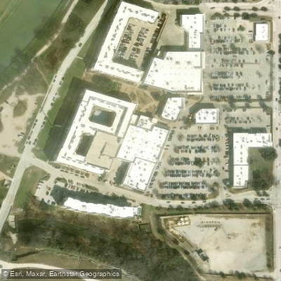
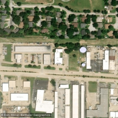
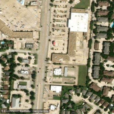
Learn how to get on West Fork Trinity River. Uncover great paddling access points, boat ramps, and all the facilities you need for an unforgettable day on the water. Some locations shown may border or include private property. Always check property boundaries and applicable regulations before visiting. PaddleWays's Public & Private Land layer can help you plan your access with confidence.
Paddle smarter with real-time insights
Whether you're en route and conditions shift or you're looking for the best spot based on current flows, we enable you to make informed decisions on the fly.








Find Places to Paddle

Over 400,000 Places to Paddle
Every user gets free access to launch points, boat ramps, and public property parcels.


Water and weather conditions (10 day forecast)
See the best times to paddle West Fork Trinity River and check the forecast before you go.
W Fk Trinity Rv nr Jacksboro, TX
All Flow Stations
Paddling near West Fork Trinity River

Brazos River
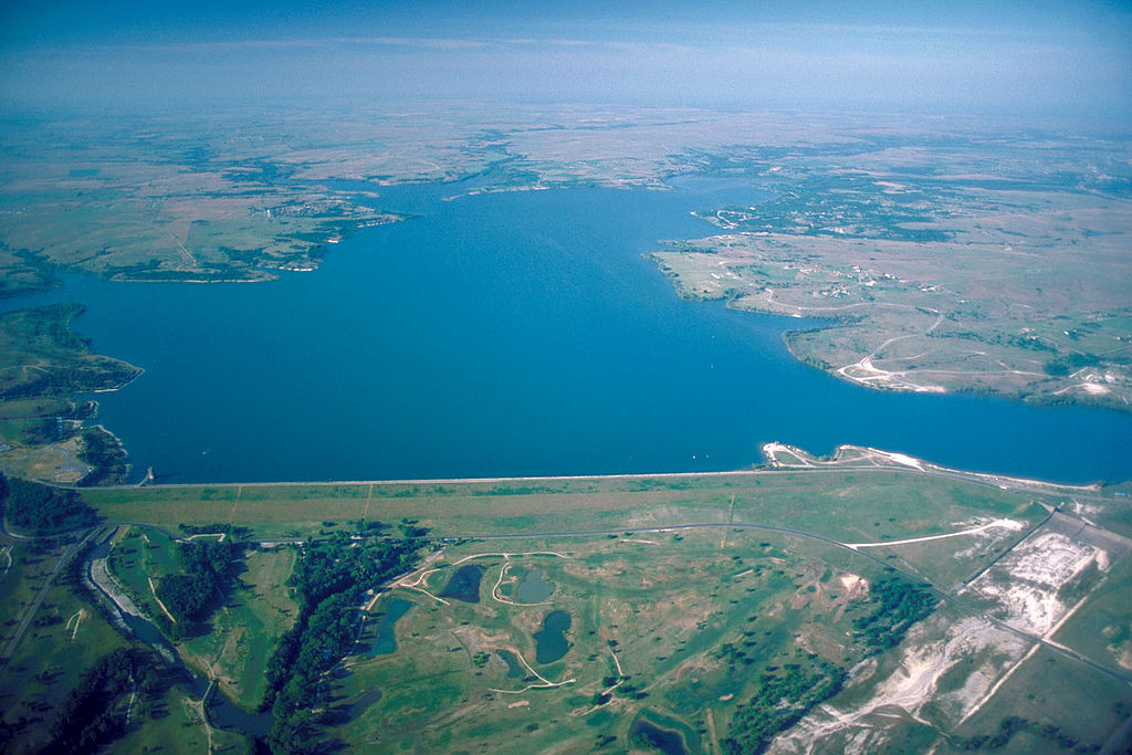
Benbrook Lake
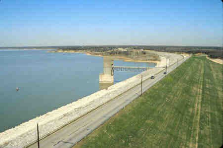
Grapevine Lake
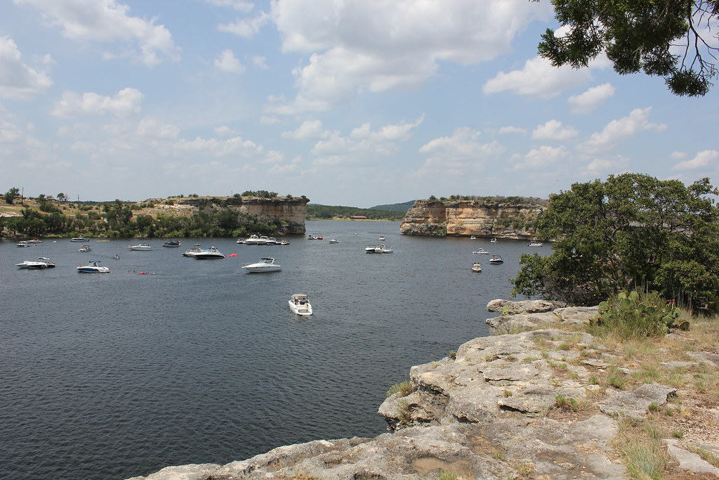
Possum Kingdom Lake
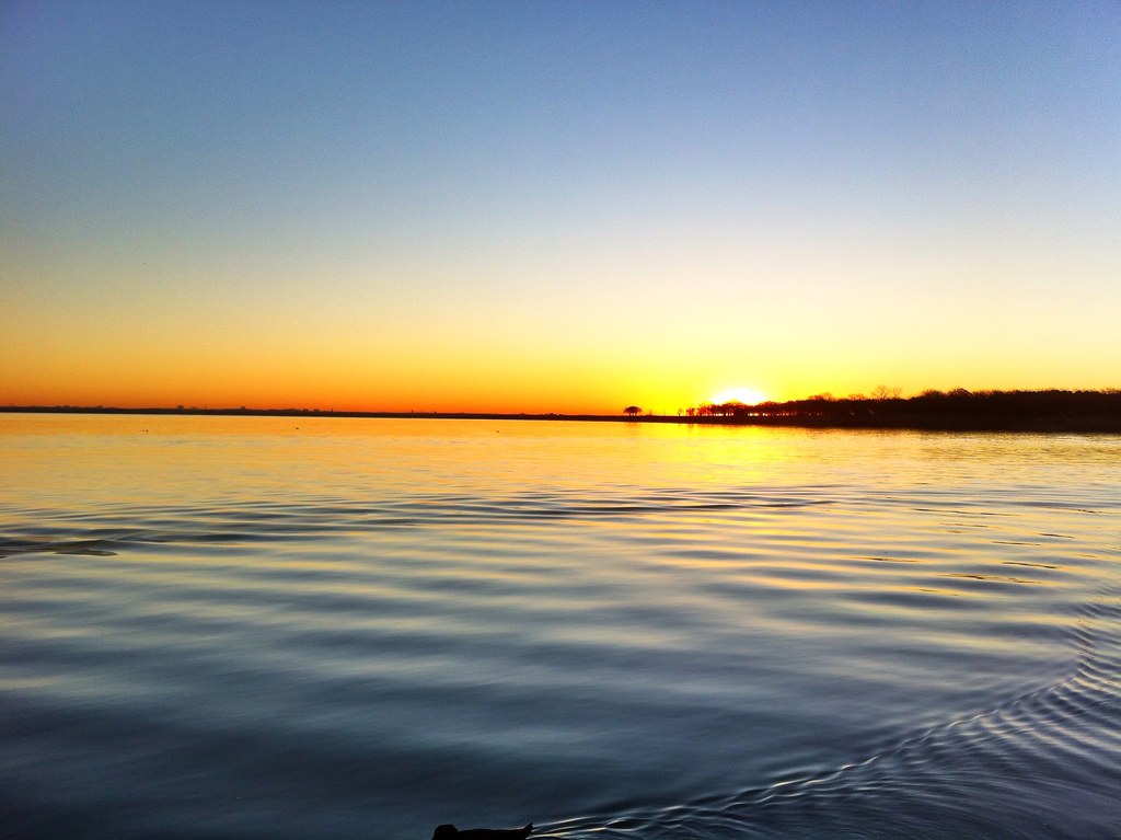
Lake Lewisville
North Bosque River
Eagle Mountain Lake
Lake Granbury
Lake Worth
Explore Texas waters
Top paddling waters
Popular Cities
Loading popular cities...
Explore near West Fork Trinity River
Access points
Nearby waters
More in Texas

Smarter Paddling Starts in the App.
Paddleways gives you everything you need to plan smarter, paddle better, and own every trip from first launch to takeout.