Nueces River
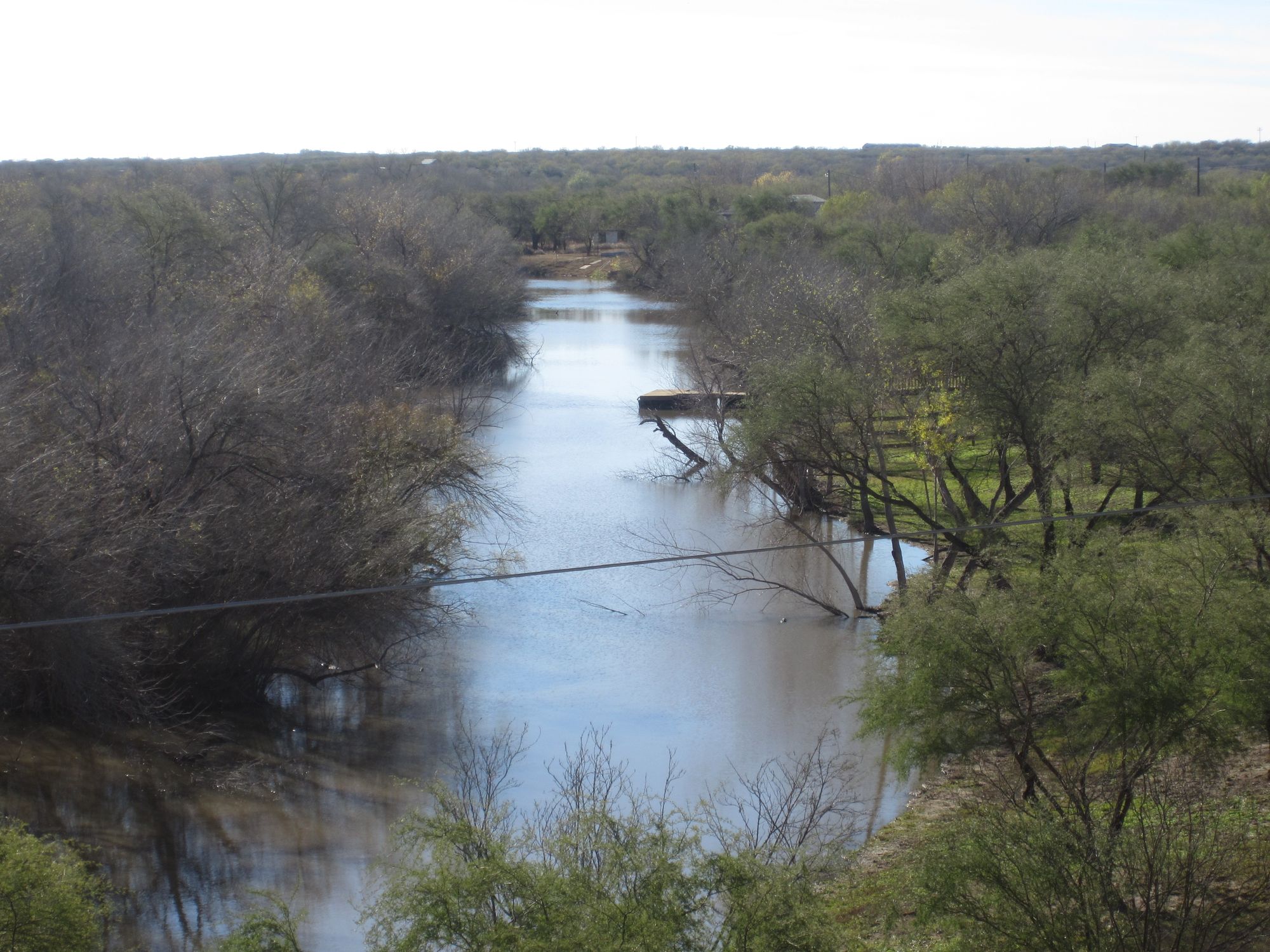
Nueces River
- Boat Ramps
- 32
- Access Points
- 39
- Campsites
- 9
The Nueces River is a major waterway in south-central Texas, originating in the Edwards Plateau near Rocksprings and flowing southeast for approximately 315 miles before emptying into Corpus Christi Bay and the Gulf of Mexico. Its primary tributaries include the Frio River and Atascosa River. Paddling opportunities on the Nueces range from scenic flatwater stretches to occasional Class I-III rapids, offering experiences for beginners to intermediate paddlers.
Popular sections include the 10-mile run from FM 335 to Barksdale (Class I-II) and the 16-mile Hackberry Crossing to Nueces Crossing stretch (Class II-III). The recently established 4.3-mile Nueces River Paddling Trail near George West provides an easy flatwater experience. Water levels fluctuate seasonally, with spring typically offering the most reliable flows. Summer paddling is possible but may require portaging in low water areas. Fall and winter can provide peaceful paddling when water levels permit.
The river corridor supports diverse wildlife including white-tailed deer, wild turkeys, and numerous bird species. Cypress, pecan, and oak trees line the banks in many areas. Crystal-clear waters in the upper reaches allow for excellent visibility of aquatic life.
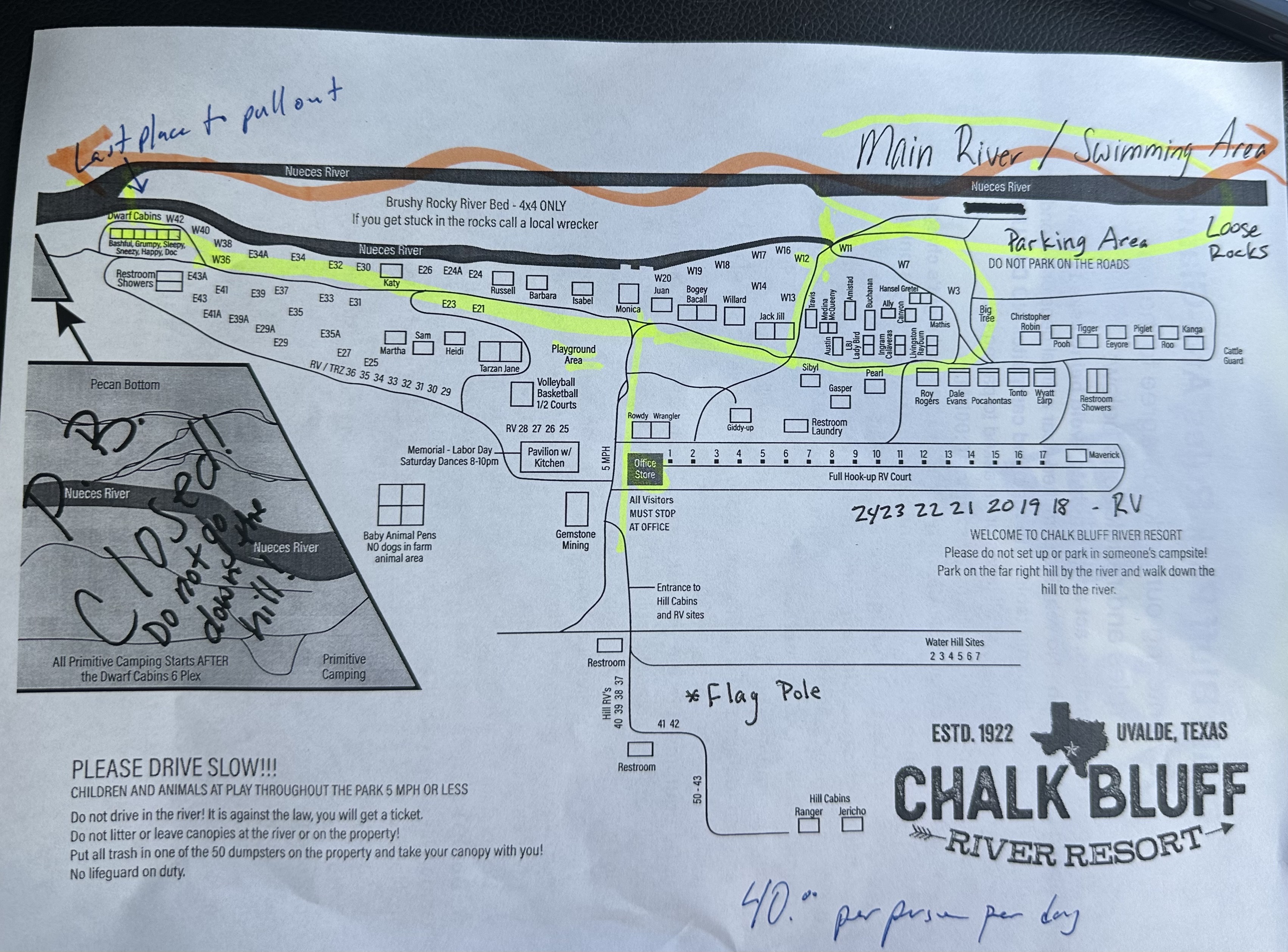
Key landmarks include Chalk Bluff Park, a popular camping and access point, and the Highway 90 bridge west of Uvalde. Major access points are found near Camp Wood, Uvalde, George West, and Mathis, with numerous road crossings and private camps offering additional entry points.
Historically, the Nueces River played a significant role in defining the disputed border between Texas and Mexico following Texas independence. Today, it remains an important water source for agriculture and communities in South Texas.
Safety considerations include checking water levels before trips, as some sections can become too shallow for paddling during dry periods. Paddlers should also be aware of private property along much of the river and respect posted signs. Multi-day trips are possible, particularly in the upper and middle sections of the river. Campsites are available at various points, including Chalk Bluff Park and other private campgrounds along the river's course.
The Nueces River offers a quintessential Texas Hill Country paddling experience, transitioning to a more coastal environment as it approaches the Gulf, providing paddlers with diverse scenery and ecosystems to explore.
Water access, boat ramps & amenities
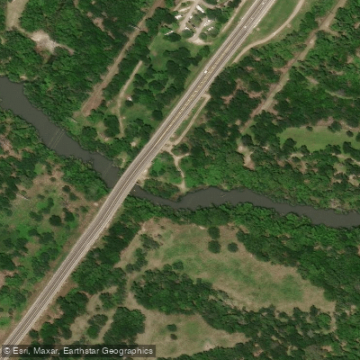
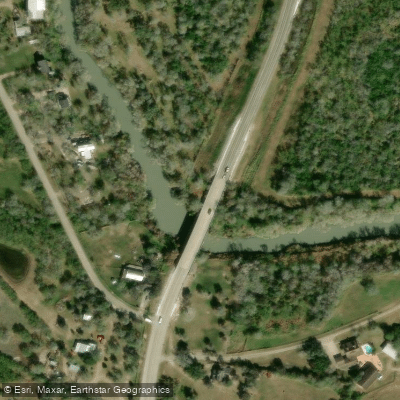
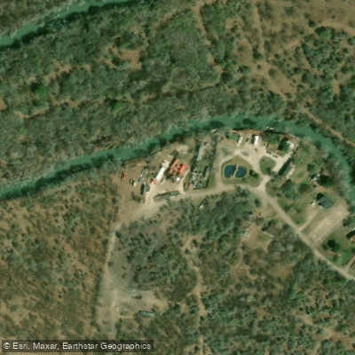
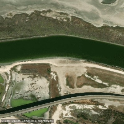
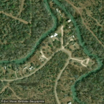
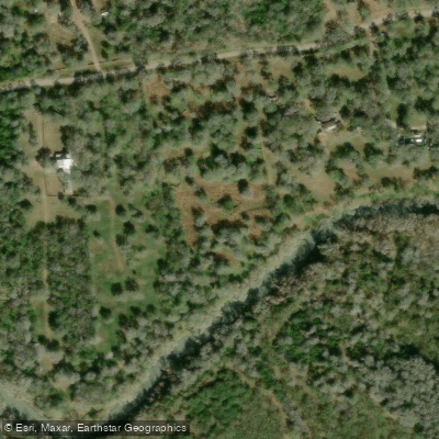
Learn how to get on Nueces River. Uncover great paddling access points, boat ramps, and all the facilities you need for an unforgettable day on the water. Some locations shown may border or include private property. Always check property boundaries and applicable regulations before visiting. PaddleWays's Public & Private Land layer can help you plan your access with confidence.
Paddle smarter with real-time insights
Whether you're en route and conditions shift or you're looking for the best spot based on current flows, we enable you to make informed decisions on the fly.








Find Places to Paddle

Over 400,000 Places to Paddle
Every user gets free access to launch points, boat ramps, and public property parcels.


Water and weather conditions (10 day forecast)
See the best times to paddle Nueces River and check the forecast before you go.
Nueces Rv nr Barksdale, TX
All Flow Stations

Explore Texas waters
Top paddling waters
Popular Cities
Loading popular cities...
Explore near Nueces River
Access points
Nearby waters
More in Texas

Smarter Paddling Starts in the App.
Paddleways gives you everything you need to plan smarter, paddle better, and own every trip from first launch to takeout.