Randell Lake
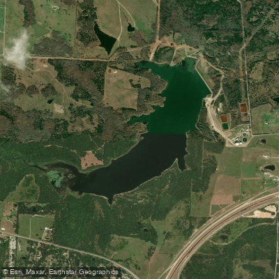
Randell Lake
- Boat Ramps
- 1
- Access Points
- 1
- Campsites
- 8
Randell Lake is located three miles northwest of Denison and one mile south of Lake Texoma in Grayson County, Texas. Originally constructed in 1909 on Shawnee Creek, a tributary of the Red River, the lake serves as a municipal water supply for the City of Denison. The reservoir covers 311 acres at its normal pool elevation of 621.83 feet above mean sea level and has a capacity of 5,400 acre-feet.
The lake's water level is maintained through pumping from Lake Texoma when necessary, which helps ensure relatively stable conditions. This management approach stems from the lake's limited natural watershed of only about ten square miles, which historically proved insufficient to maintain adequate water levels. In 1941, the dam's spillway was improved, and in 1953, the city secured additional water rights from Lake Texoma to supplement the reservoir.
As a municipal water supply reservoir, recreational access may be restricted. Paddlers should contact local authorities to verify access permissions before planning any activities on the lake.
The lake's position near Lake Texoma, a major recreational destination, and its proximity to Denison make it easily accessible, though the lake's focus on water supply means facilities and launch points for paddlers are limited.
Water access, boat ramps & amenities
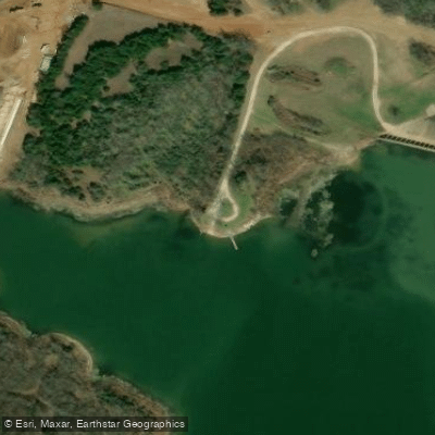
Learn how to get on Randell Lake. Uncover great paddling access points, boat ramps, and all the facilities you need for an unforgettable day on the water. Some locations shown may border or include private property. Always check property boundaries and applicable regulations before visiting. PaddleWays's Public & Private Land layer can help you plan your access with confidence.
Paddle smarter with real-time insights
Whether you're en route and conditions shift or you're looking for the best spot based on current flows, we enable you to make informed decisions on the fly.








Find Places to Paddle

Over 400,000 Places to Paddle
Every user gets free access to launch points, boat ramps, and public property parcels.


Water and weather conditions (10 day forecast)
See the best times to paddle Randell Lake and check the forecast before you go.
No forecast data available.
Paddling near Randell Lake
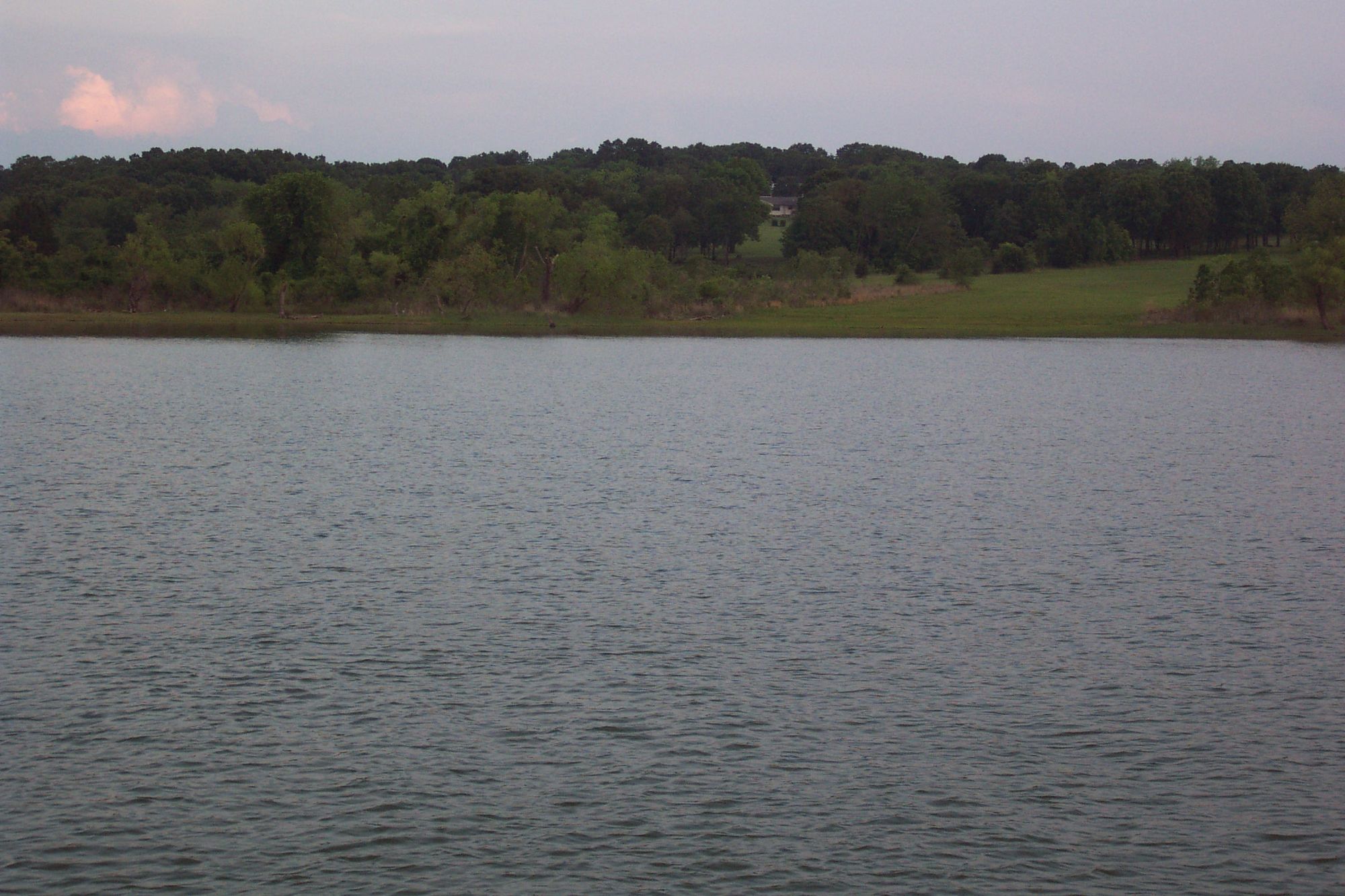
Lake Texoma

Red River
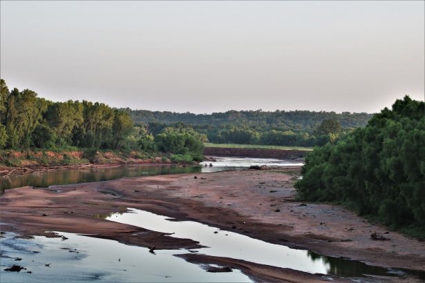
Washita River
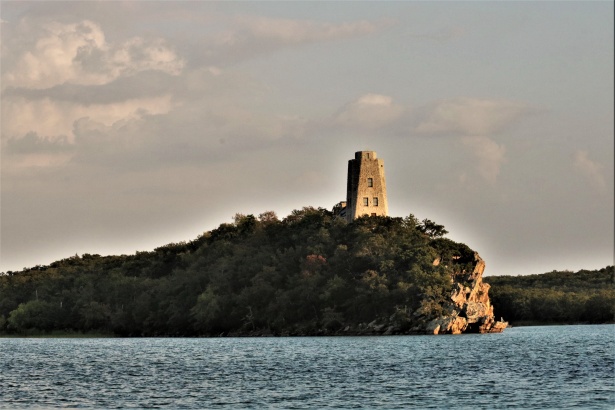
Lake Murray
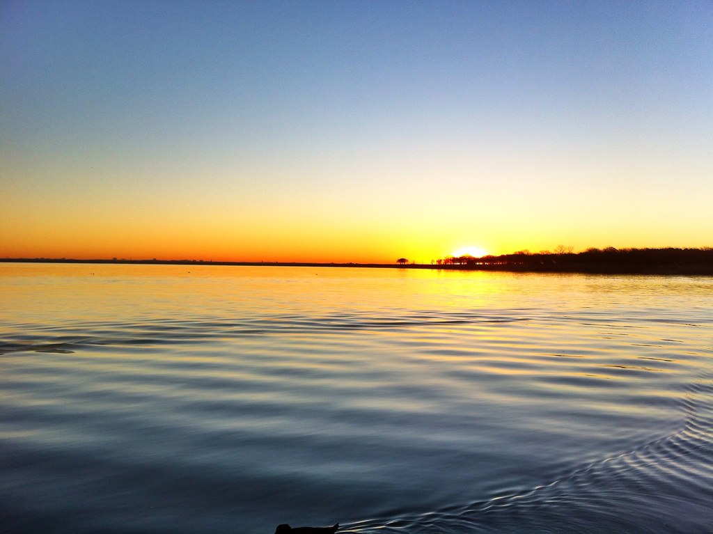
Lake Lewisville
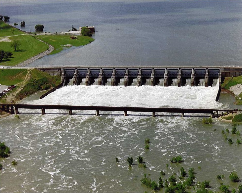
Lavon Lake
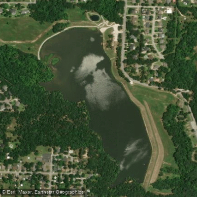
Waterloo Lake
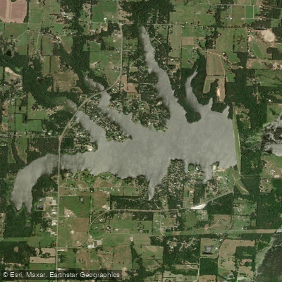
Lake Bonham
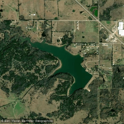
Carter Lake
Explore Texas waters
Top paddling waters
Popular Cities
Loading popular cities...
Explore near Randell Lake
Access points
Nearby waters
More in Texas

Smarter Paddling Starts in the App.
Paddleways gives you everything you need to plan smarter, paddle better, and own every trip from first launch to takeout.