Salt Fork Brazos River
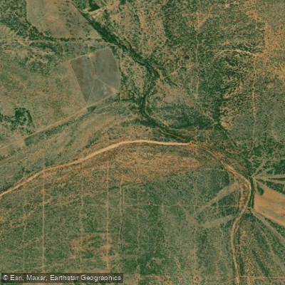
Salt Fork Brazos River
- Boat Ramps
- 6
- Access Points
- 6
- Campsites
- 0
The Salt Fork Brazos River is a major tributary of the Brazos River in West Texas. It originates in southeastern Crosby County near the edge of the Llano Estacado and flows approximately 150 miles east-southeast across portions of Crosby, Garza, Kent, and Stonewall counties before joining the Double Mountain Fork to form the main stem of the Brazos River about 18 miles northwest of Haskell. This braided, intermittent stream offers challenging paddling opportunities for experienced whitewater enthusiasts. The most popular section runs 65 miles from Jayton to Old Glory, featuring Class II-III rapids. This multi-day trip showcases the rugged beauty of the West Texas landscape as the river winds through Kent and Stonewall counties.
Paddlers should be prepared for remote conditions and bring appropriate camping gear. The Salt Fork's flow is highly variable and dependent on rainfall. Spring and early summer typically offer the best paddling conditions when snowmelt and storms provide adequate water levels. During dry periods, the riverbed may be completely dry in some stretches. The surrounding terrain transitions from the flat plains of the Llano Estacado to increasingly rugged country as the river cuts through layers of red sandstone and shale. Mesquite, juniper, and cottonwood trees line the banks in places. Wildlife includes deer, coyotes, wild turkeys, and various bird species.
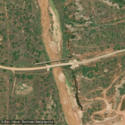
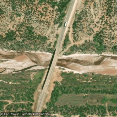
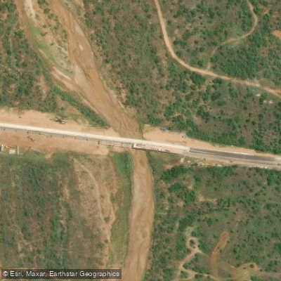
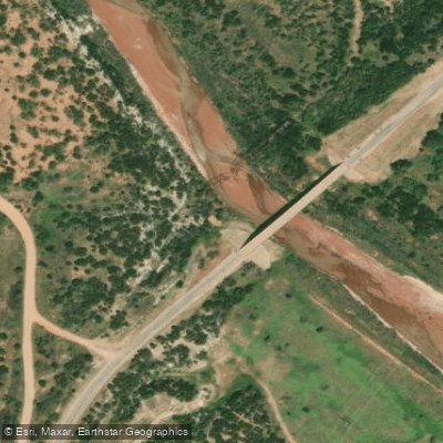
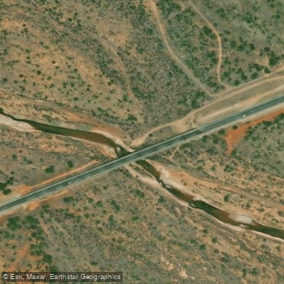
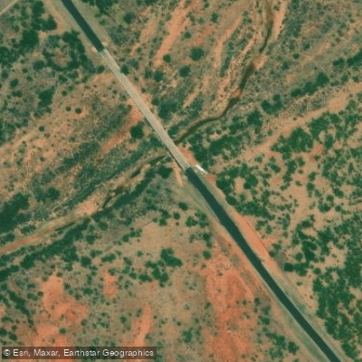
Key access points include the US 70 bridge near Jayton for put-in and FM 1835 near Old Glory for take-out. The small towns of Clairemont, Jayton, and Aspermont are located along the river's course. Paddlers should be aware that much of the land bordering the river is private property.
The Salt Fork played an important role in the exploration and settlement of West Texas. Native American tribes like the Comanche utilized the river valley before Anglo-American pioneers arrived in the mid-19th century. Today, the river remains vital to the region's ranching and agricultural economy.
Paddlers must be self-sufficient and prepared for the river's remote nature. There are few amenities or easy escape routes along most of the Salt Fork. Checking water levels and weather forecasts is crucial before embarking. With proper planning, this wild river offers adventurous paddlers a true taste of untamed Texas.
Water access, boat ramps & amenities
Learn how to get on Salt Fork Brazos River. Uncover great paddling access points, boat ramps, and all the facilities you need for an unforgettable day on the water. Some locations shown may border or include private property. Always check property boundaries and applicable regulations before visiting. PaddleWays's Public & Private Land layer can help you plan your access with confidence.
Paddle smarter with real-time insights
Whether you're en route and conditions shift or you're looking for the best spot based on current flows, we enable you to make informed decisions on the fly.








Find Places to Paddle

Over 400,000 Places to Paddle
Every user gets free access to launch points, boat ramps, and public property parcels.


Water and weather conditions (10 day forecast)
See the best times to paddle Salt Fork Brazos River and check the forecast before you go.
Salt Fk Brazos Rv nr Aspermont, TX
Paddling near Salt Fork Brazos River
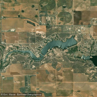
Buffalo Springs Lake
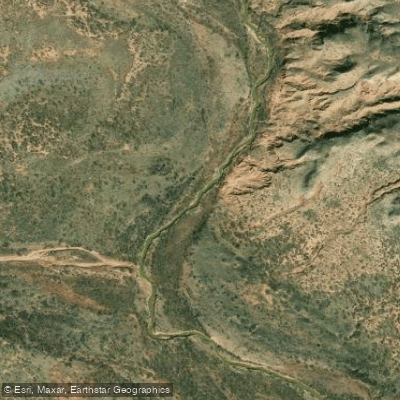
North Fork Double Mountain Fork Brazos River
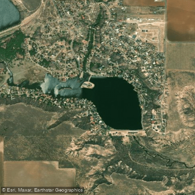
Lake Ransom Canyon
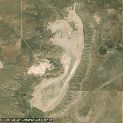
Tahoka Lake
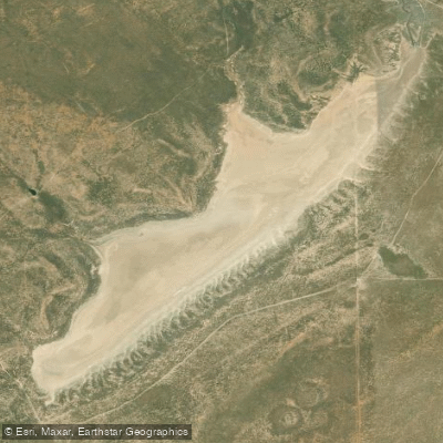
Double Lakes
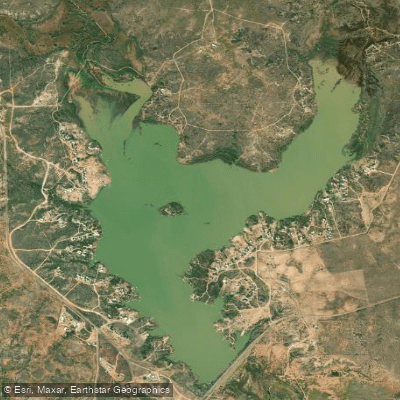
White River Lake
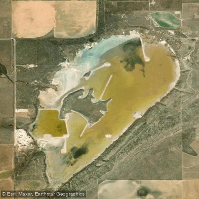
Mound Lake
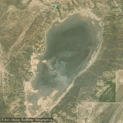
Guthrie Lake
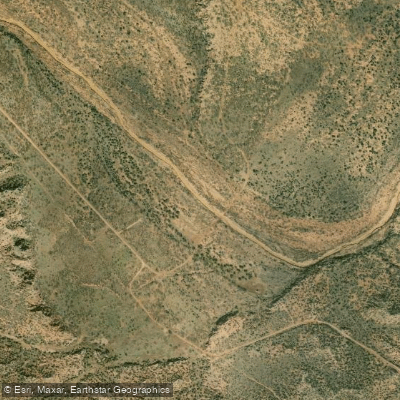
Double Mountain Fork Brazos River
Explore Texas waters
Top paddling waters
Popular Cities
Loading popular cities...
Explore near Salt Fork Brazos River
Access points
Nearby waters
More in Texas

Smarter Paddling Starts in the App.
Paddleways gives you everything you need to plan smarter, paddle better, and own every trip from first launch to takeout.