Tahoka Lake
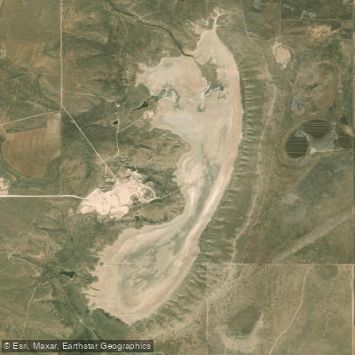
Tahoka Lake
- Boat Ramps
- 0
- Access Points
- 0
- Campsites
- 0
Tahoka Lake, located three miles northeast of Tahoka in northeastern Lynn County, Texas, is a natural spring-fed body of water. The lake's normal water level is 2,982 feet above sea level, though the bed can sometimes be dry. Its steep banks are characterized by sandy clay loam that supports grass vegetation.
Paddlers should be aware that water levels in Tahoka Lake can fluctuate significantly, potentially impacting paddling conditions. The lake's sometimes dry bed means that water levels may be unreliable, especially during drier periods. It's crucial to check current conditions before planning a trip.
The lake's steep banks may present challenges for put-in and take-out points, requiring careful navigation. These banks, surfaced with sandy clay loam, could be slippery when wet, so paddlers should exercise caution when accessing the water.
Wildlife enthusiasts may appreciate the grassland ecosystem surrounding the lake, which likely supports various bird species and small mammals adapted to the Texas plains environment. The lake's spring-fed nature, when holding water, may attract waterfowl and other aquatic life.
Given its location in the Texas High Plains, Tahoka Lake may experience strong winds, particularly in the afternoons. Paddlers should be prepared for potentially choppy conditions and plan their outings accordingly, with early mornings generally offering calmer waters.
While specific paddling routes or day trips are not well-established for Tahoka Lake, its relatively small size makes it suitable for shoreline exploration and leisurely paddles when water levels permit. The lake's unique status as a sometimes-dry playa lake in the Texas High Plains region gives it geological and ecological significance.
Paddlers should bring all necessary equipment, including safety gear, as amenities at the lake are limited. Additionally, given the lake's variable conditions, it's advisable to have alternate paddling plans in the area in case water levels are too low for enjoyable paddling.
Water access, boat ramps & amenities
Learn how to get on Tahoka Lake. Uncover great paddling access points, boat ramps, and all the facilities you need for an unforgettable day on the water. Some locations shown may border or include private property. Always check property boundaries and applicable regulations before visiting. PaddleWays's Public & Private Land layer can help you plan your access with confidence.
Paddle smarter with real-time insights
Whether you're en route and conditions shift or you're looking for the best spot based on current flows, we enable you to make informed decisions on the fly.








Find Places to Paddle

Over 400,000 Places to Paddle
Every user gets free access to launch points, boat ramps, and public property parcels.


Water and weather conditions (10 day forecast)
See the best times to paddle Tahoka Lake and check the forecast before you go.
No forecast data available.
Paddling near Tahoka Lake
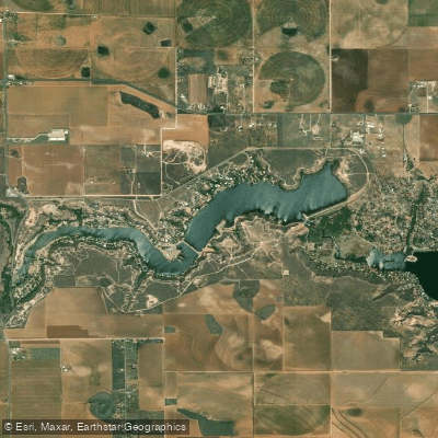
Buffalo Springs Lake
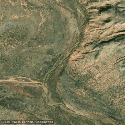
North Fork Double Mountain Fork Brazos River
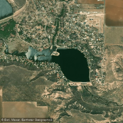
Lake Ransom Canyon
Salt Fork Brazos River
Double Lakes
White River Lake
Mound Lake
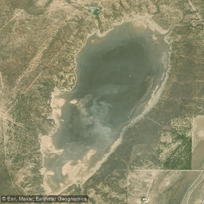
Guthrie Lake
Double Mountain Fork Brazos River
Explore Texas waters
Top paddling waters
Popular Cities
Loading popular cities...

Smarter Paddling Starts in the App.
Paddleways gives you everything you need to plan smarter, paddle better, and own every trip from first launch to takeout.