Provo River
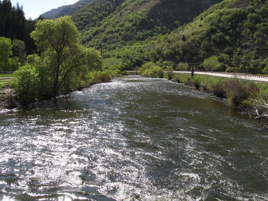
Provo River
- Boat Ramps
- 6
- Access Points
- 25
- Campsites
- 16
The Provo River is a waterway that flows through the heart of Utah, offering a range of paddling experiences for all skill levels. Beginning in the high Uinta Mountains and winding its way through stunning canyons and valleys, the river eventually empties into Utah Lake near the city of Provo.
The river is typically divided into three main sections: the Upper, Middle, and Lower Provo. The Upper Provo, originating in the Uintas, features some of the most challenging whitewater, with Class III-IV rapids in sections like Upper Provo Falls and Slate Gorge. This pristine stretch offers a true wilderness experience, with the Mirror Lake Highway providing good access points for much of its length.
The Middle Provo, running from Jordanelle Reservoir to Deer Creek Reservoir, is a popular 10-mile stretch known for its excellent fishing and scenic beauty. This section offers a mix of calm water and mild rapids, making it suitable for intermediate paddlers and a favorite among anglers targeting rainbow and brown trout.
The Lower Provo, flowing from Deer Creek Reservoir through Provo Canyon, is the most accessible and popular section for recreational paddling. The 4.5-mile stretch from Deer Creek Dam to Vivian Park is ideal for beginners and families, featuring Class I-II rapids and stunning views of the surrounding mountains. This section is particularly popular for tubing and casual float trips during the summer months.
The best time to paddle the Provo River is typically from late spring through early fall. Spring runoff can make the river more challenging, while late summer and fall offer more stable water levels and warmer temperatures. However, being a dam-controlled river, the Lower Provo maintains relatively consistent flows year-round, allowing for extended paddling seasons.
Wildlife enthusiasts will appreciate the diverse ecosystem along the Provo River, with opportunities to spot deer, elk, moose, and various bird species. The river corridor is lined with cottonwoods, willows, and dense forests, providing a lush backdrop for your paddling adventure. One of the most notable landmarks along the river is Bridal Veil Falls, a spectacular 600-foot waterfall visible from the Provo Canyon section. The nearby Provo River Parkway trail offers additional recreational opportunities for hikers and cyclists.
Access to the river is generally good, with numerous put-in and take-out points along its course. The cities of Heber, Midway, and Provo serve as convenient base camps for river adventures, offering amenities and outfitters for gear and guided trips.
Historically, the Provo River has played a crucial role in the development of Utah Valley, providing water for irrigation and power generation. Today, it continues to be an important resource for the region, balancing recreational use with water management needs.
Safety is paramount on the Provo River, and paddlers should be aware of fluctuating water levels, especially below dams. Personal flotation devices are required, and it's advisable to check current conditions before embarking on any trip. Some sections, particularly in the Upper Provo, may require advanced whitewater skills and proper equipment.
While most trips on the Provo are day excursions, multi-day adventures are possible on the Upper Provo, where primitive camping is available along the river corridor. However, careful planning is necessary due to limited access points and the remote nature of this section.
From thrilling whitewater in the high country to serene floats through picturesque canyons, the Provo River offers a paddling experience for everyone, making it one of Utah's premier waterways for outdoor enthusiasts.
Water access, boat ramps & amenities
Learn how to get on Provo River. Uncover great paddling access points, boat ramps, and all the facilities you need for an unforgettable day on the water. Some locations shown may border or include private property. Always check property boundaries and applicable regulations before visiting. PaddleWays's Public & Private Land layer can help you plan your access with confidence.
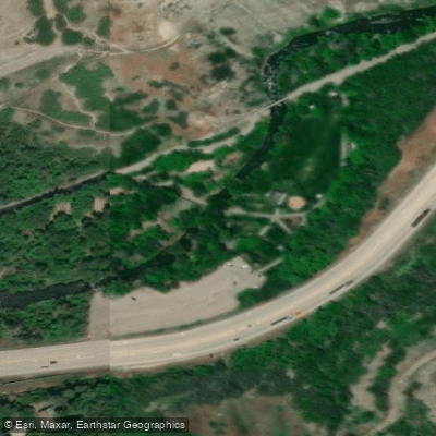
Canyon Glenn Park Access Area
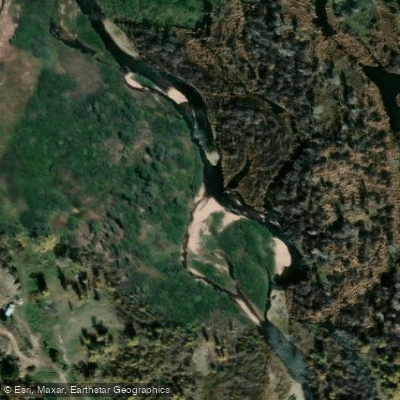
US Fish & Wildlife Access
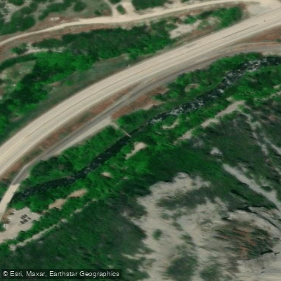
Bridal Veil fishing Access site
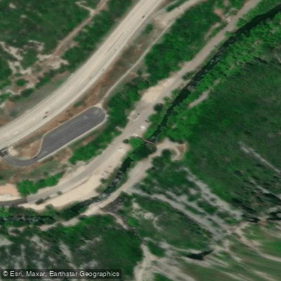
Bridal Veil Rapid fishing Access site
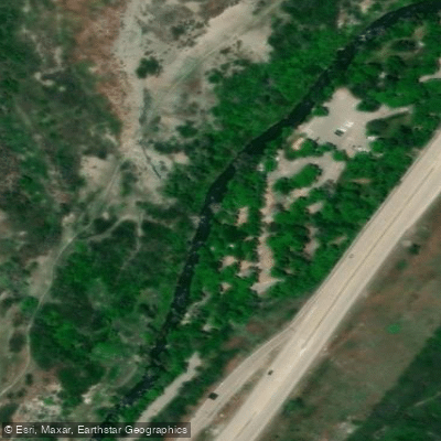
Nunns Park fishing Access site
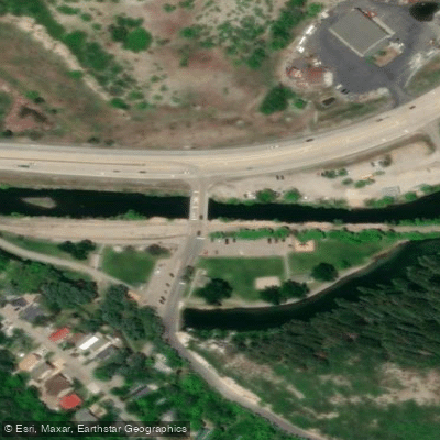
Vivian Park fishing Access site
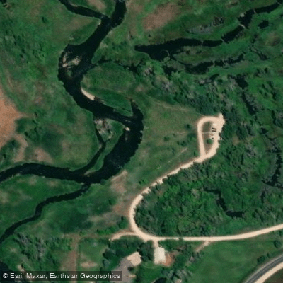
River Road North Access
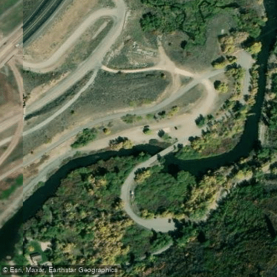
Deer Creek Park Access
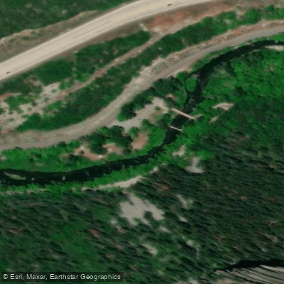
Upper Falls Park fishing Access site
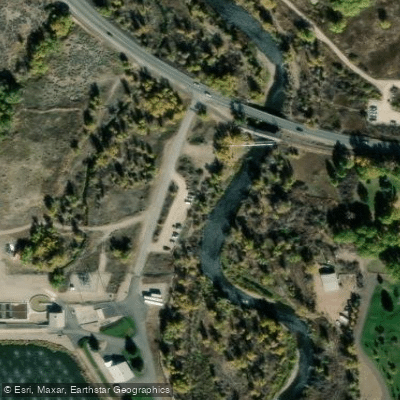
Midway Lane Access
Paddle smarter with real-time insights
Whether you're en route and conditions shift or you're looking for the best spot based on current flows, we enable you to make informed decisions on the fly.








Find Places to Paddle

Over 400,000 Places to Paddle
Every user gets free access to launch points, boat ramps, and public property parcels.


Water and weather conditions (10 day forecast)
See the best times to paddle Provo River and check the forecast before you go.
PROVO RIVER NEAR WOODLAND, UT
All Flow Stations
Paddling near Provo River
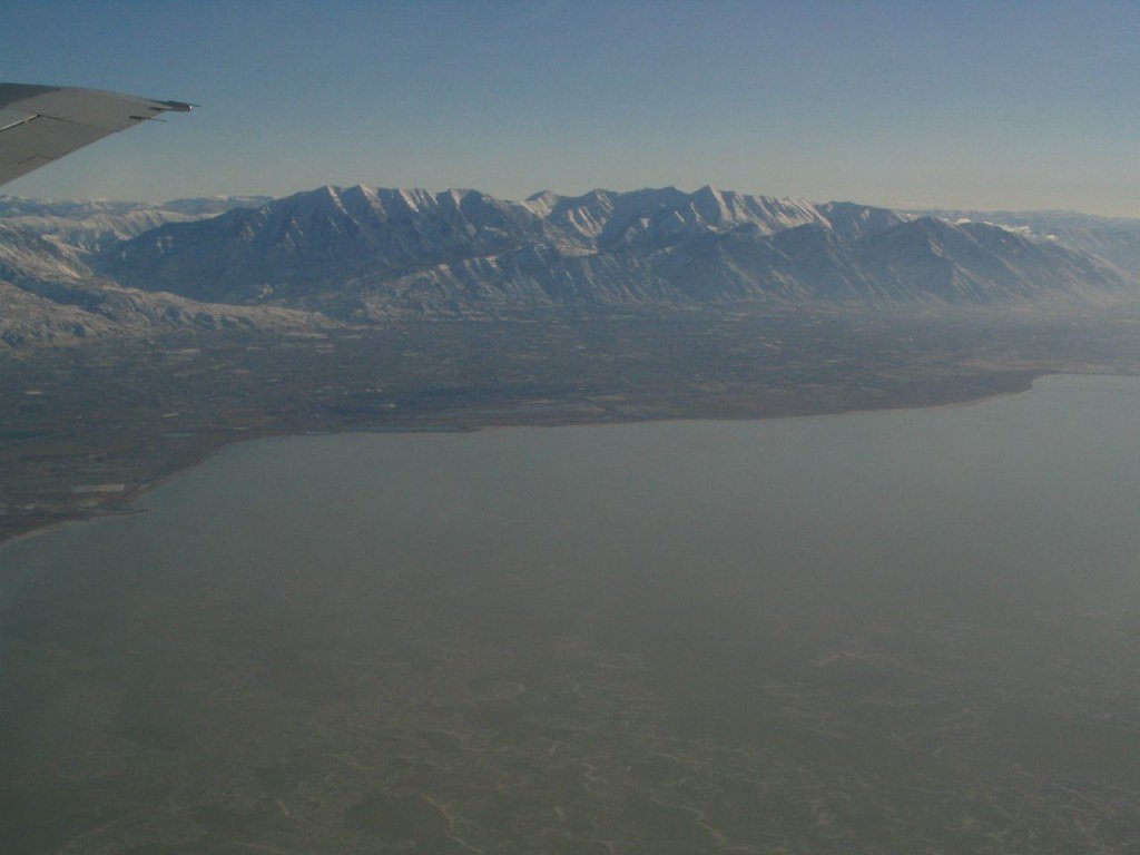
Utah Lake
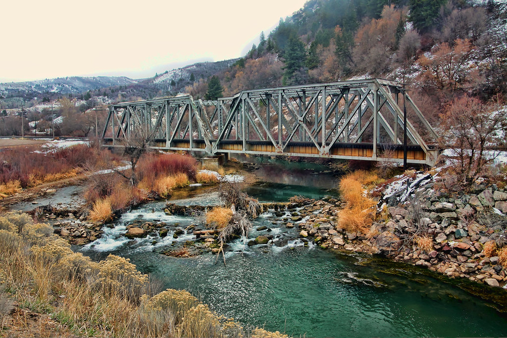
Weber River
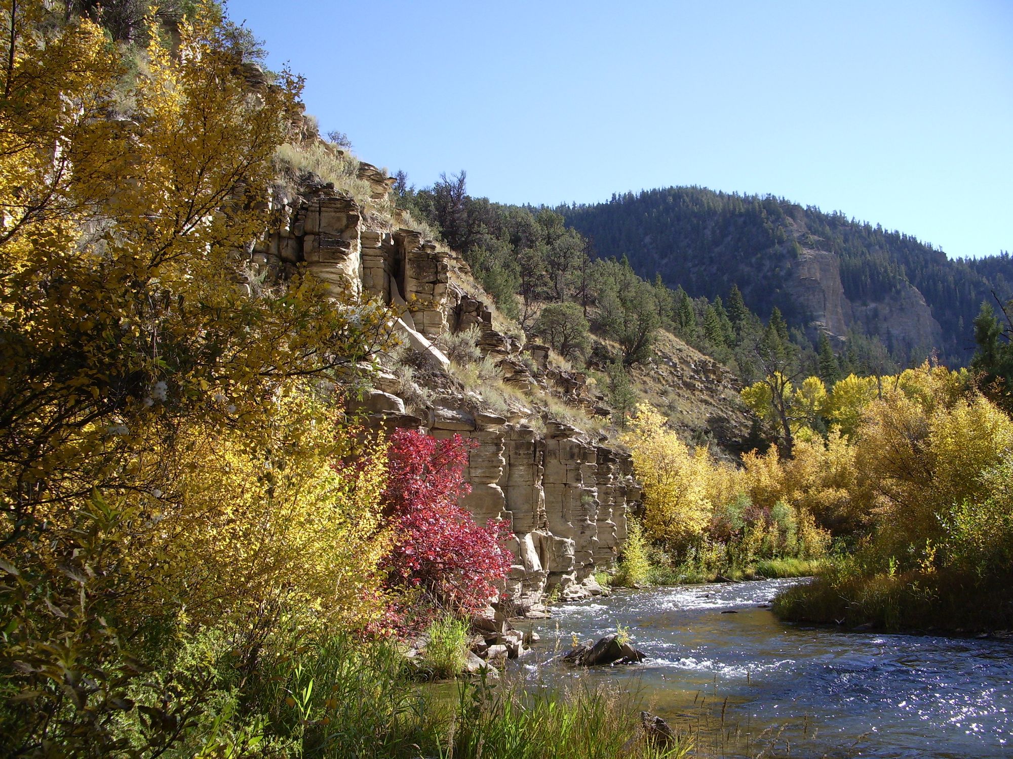
Strawberry River
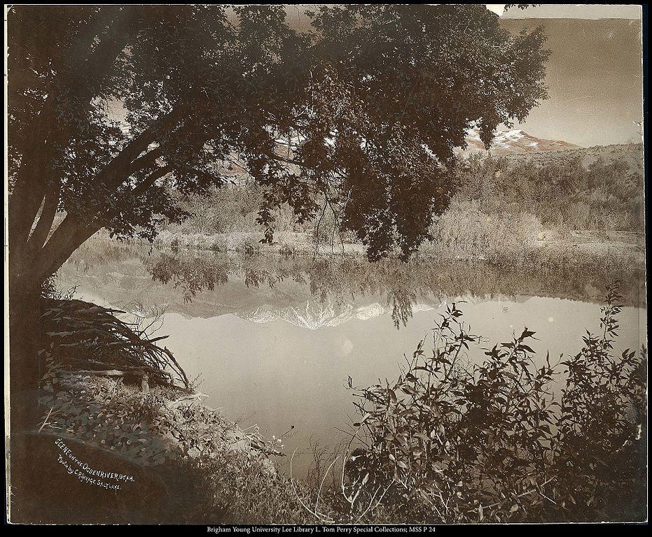
Ogden River
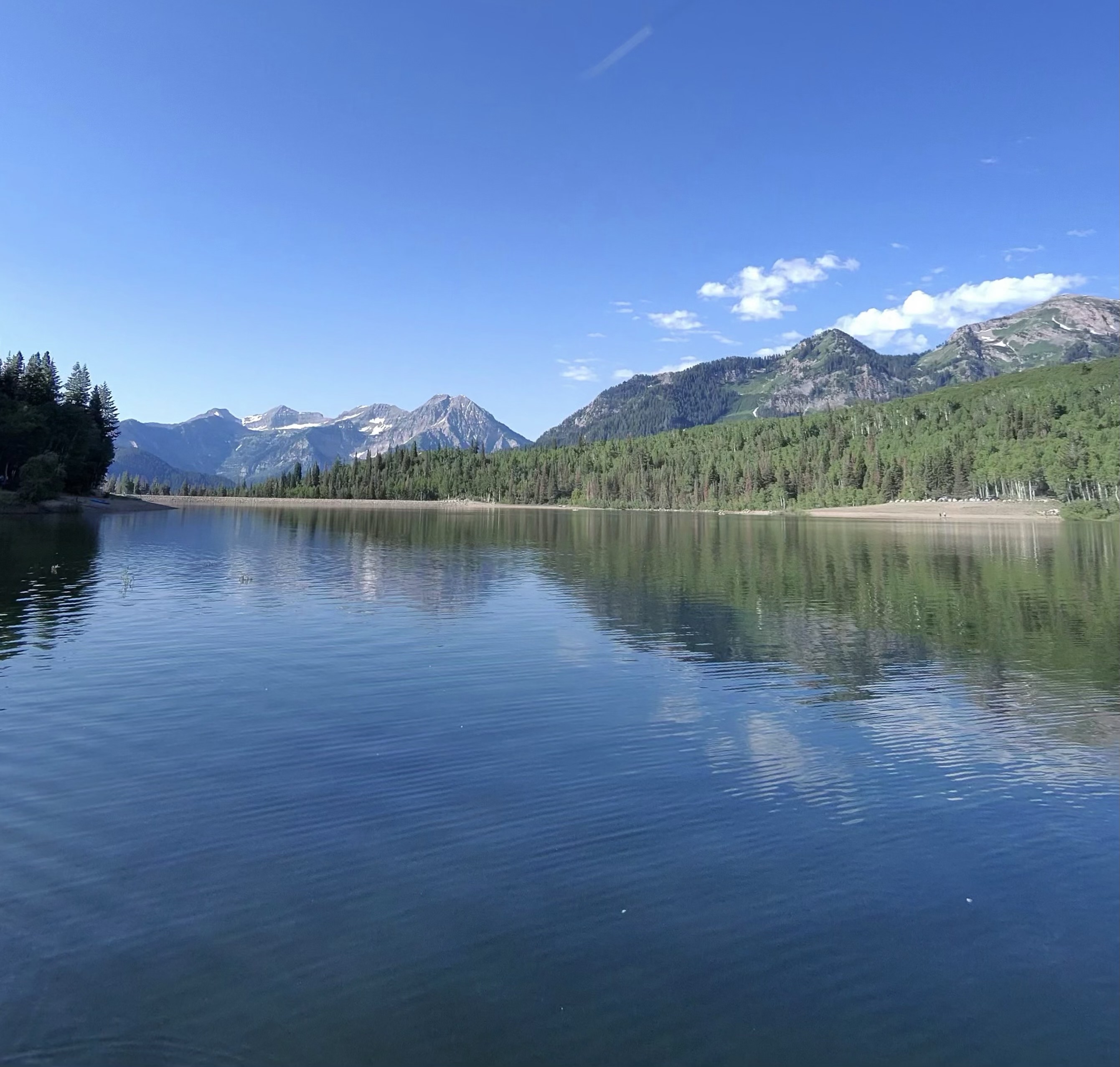
Silver Lake Flat Reservoir
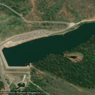
Tibble Fork Reservoir
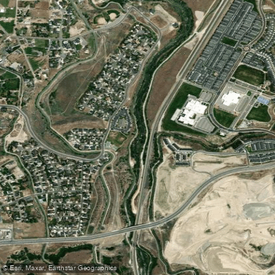
Jordan River
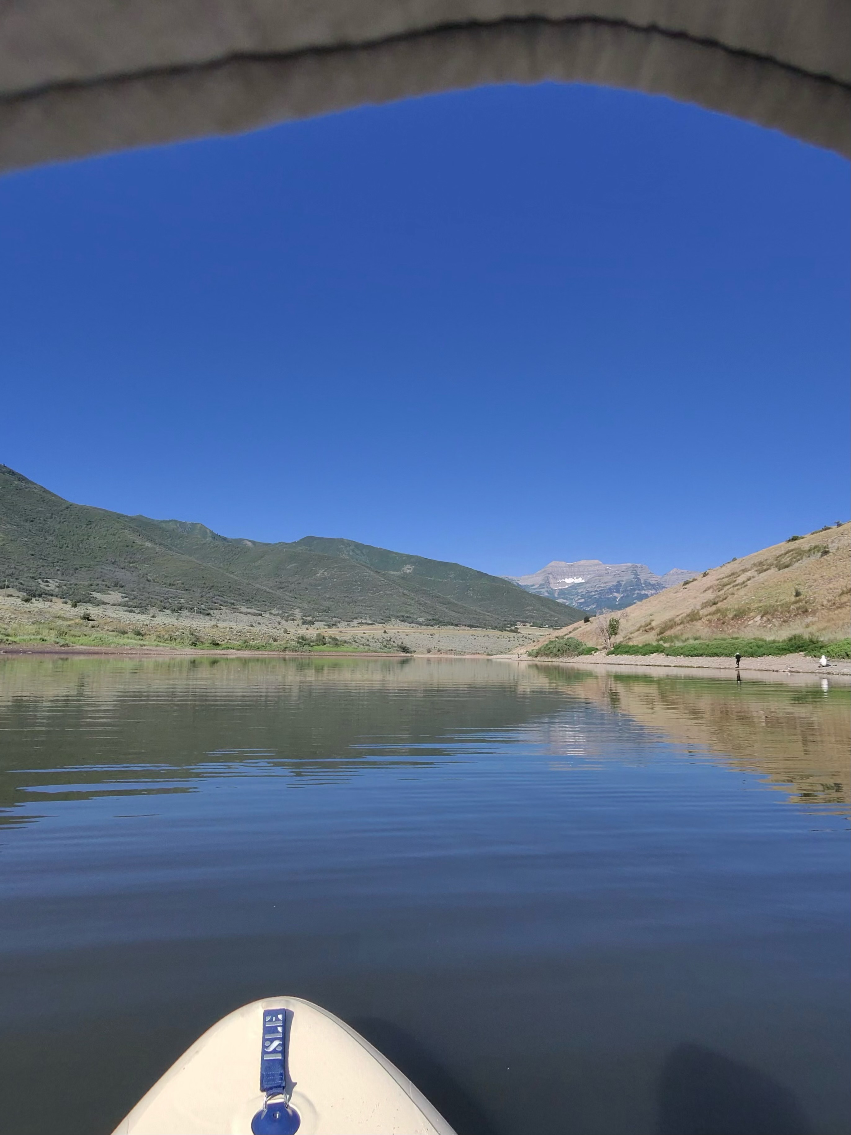
Deer Creek Reservoir
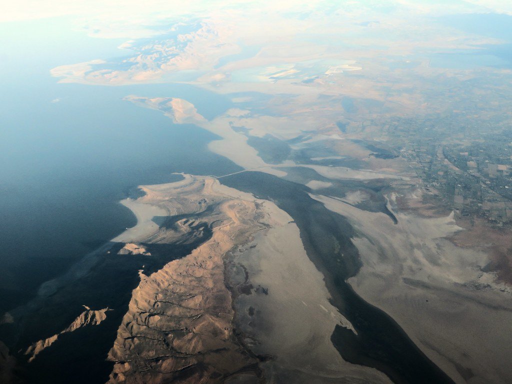
Great Salt Lake
Explore Utah waters
Top paddling waters
Popular Cities
Loading popular cities...
Explore near Provo River
Access points
- Boat Ramp
- Jordanelle Dam Boat Ramp
- Vivian Park Boat Ramp
- Vivian Park Boat Ramp
- Orem Boat Ramp
- Utah Lake State Park Boat Ramp
- Canyon Glenn Park Access Area
- US Fish & Wildlife Access
- Bridal Veil fishing Access site
- Bridal Veil Rapid fishing Access site
- Nunns Park fishing Access site
- Vivian Park fishing Access site
- All 42 spots
Nearby waters
More in Utah

Smarter Paddling Starts in the App.
Paddleways gives you everything you need to plan smarter, paddle better, and own every trip from first launch to takeout.