Sevier River
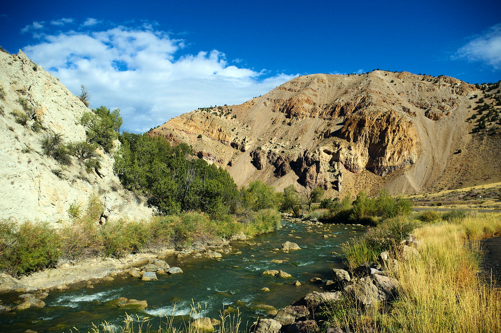
Sevier River
- Boat Ramps
- 1
- Access Points
- 14
- Campsites
- 5
The Sevier River, pronounced "severe," is a 400-mile long waterway flowing through the heart of southwestern Utah. This scenic river carves its way through impressive landscapes, offering a diverse range of paddling experiences for outdoor enthusiasts.
The most popular section for whitewater rafting and kayaking is the Marysvale Canyon, located about 118 km north of Panguitch. This 10-mile stretch drops an impressive 60 feet per mile, flanked by towering 500-foot cliffs that create a dramatic backdrop for adventurers. The canyon offers exciting Class II to III rapids, making it suitable for both beginners and intermediate paddlers looking for a thrilling ride.
Upstream of Panguitch to Salina, paddlers can enjoy a longer 70-mile section that provides a mix of calm waters and moderate rapids, classified as Class I-III. This stretch is ideal for those seeking a more extended river experience through Utah's picturesque terrain.
For a more relaxed outing, the Big Rock Candy Mountain Float near Marysvale offers a leisurely 4-mile journey perfect for families and casual river enthusiasts. This flatwater section can be enjoyed in tubes or rafts, providing a gentle introduction to river floating.
The Sevier River's flow is largely controlled by the Paiute Reservoir, which helps maintain ideal conditions for kayaking and rafting throughout the season. The best time to paddle is typically from April to October, with peak water levels occurring in May due to snowmelt.
Along the river, paddlers may spot various wildlife and enjoy the diverse flora of the Utah landscape. The Marysvale Canyon section is particularly known for its stunning geological features and desert scenery.
Several outfitters, such as Always Rafting & Kayaking, offer guided trips on the Sevier River, providing equipment and expertise for a safe and enjoyable experience. These companies typically run trips starting at 10am, 1pm, and 3:30pm daily during the season.
The town of Marysvale serves as a primary access point for many river adventures, with Big Rock Candy Mountain Resort being a popular put-in location for float trips. The East Fork of the Sevier River is also noteworthy as a designated Blue Ribbon fishing area, attracting anglers from around the region.
Safety is paramount on the Sevier River, and all paddlers should wear appropriate safety gear, including life jackets. It's important to be aware that the river's flow can vary based on agricultural releases and seasonal changes, so checking current conditions before embarking on a trip is essential.
For those looking to extend their river experience, multi-day trips can be arranged, allowing paddlers to fully immerse themselves in the beauty of Utah's backcountry. However, most popular trips on the Sevier are day excursions, making it an accessible adventure for visitors to nearby attractions like Bryce Canyon and Zion National Parks.
The Sevier River plays a significant role in Utah's water system and agricultural practices, with its flow carefully managed for irrigation purposes. This historical importance adds an extra layer of interest for those curious about the region's development and water management practices.
Whether you're seeking an adrenaline-pumping whitewater adventure or a peaceful float through scenic canyons, the Sevier River offers a slice of Utah's natural beauty that's sure to leave a lasting impression on all who paddle its waters.
Water access, boat ramps & amenities
Learn how to get on Sevier River. Uncover great paddling access points, boat ramps, and all the facilities you need for an unforgettable day on the water. Some locations shown may border or include private property. Always check property boundaries and applicable regulations before visiting. PaddleWays's Public & Private Land layer can help you plan your access with confidence.
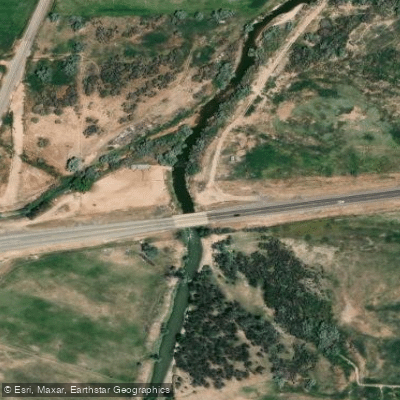
Salina Access
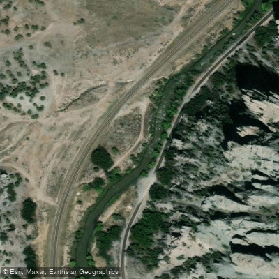
Sevier River Access
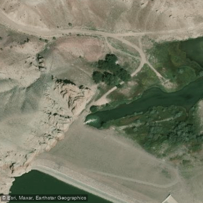
Sevier River Access
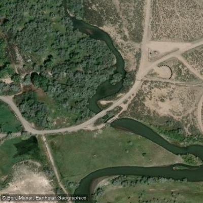
Marysvale Access
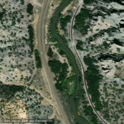
Sevier River Access
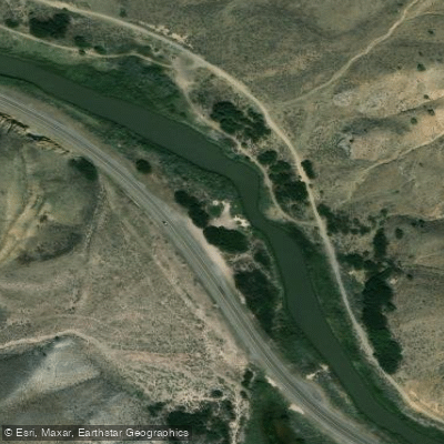
Sevier River Access
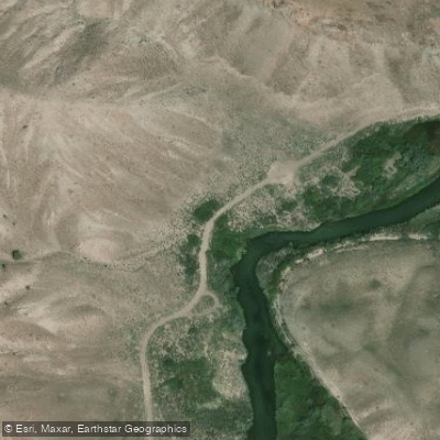
Sevier River Access
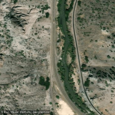
Sevier River Access
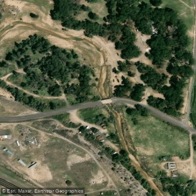
Panquitch Access
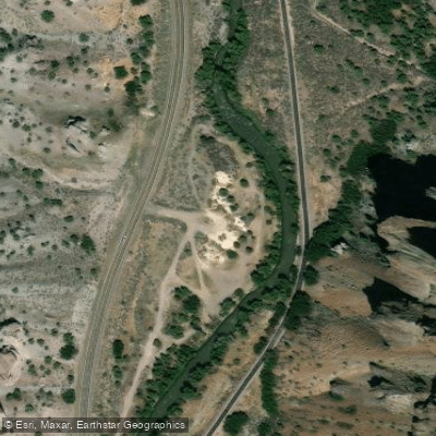
Sevier River Access
Paddle smarter with real-time insights
Whether you're en route and conditions shift or you're looking for the best spot based on current flows, we enable you to make informed decisions on the fly.








Find Places to Paddle

Over 400,000 Places to Paddle
Every user gets free access to launch points, boat ramps, and public property parcels.


Water and weather conditions (10 day forecast)
See the best times to paddle Sevier River and check the forecast before you go.
SEVIER RIVER AT HATCH, UT
All Flow Stations
Paddling near Sevier River
Fremont River

Escalante River
Muddy Creek
Pine Creek
Dirty Devil River
East Fork Sevier River
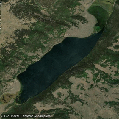
Fish Lake
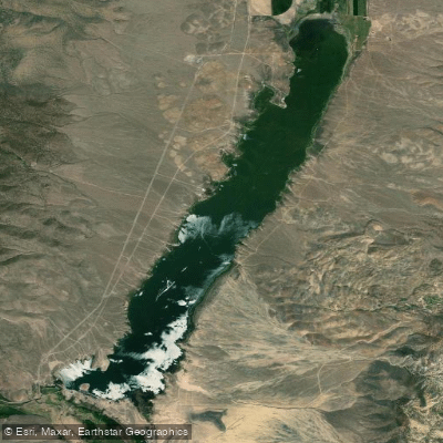
Otter Creek Reservoir
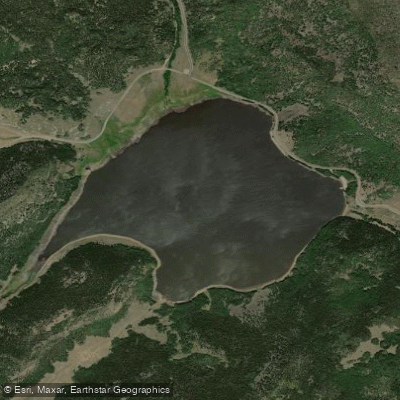
Johnson Valley Reservoir
Explore Utah waters
Top paddling waters
Popular Cities
Loading popular cities...
Explore near Sevier River
Access points
Nearby waters
More in Utah

Smarter Paddling Starts in the App.
Paddleways gives you everything you need to plan smarter, paddle better, and own every trip from first launch to takeout.