Deer Creek Reservoir
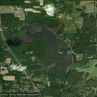
Deer Creek Reservoir
- Boat Ramps
- 1
- Access Points
- 1
- Campsites
- 0
Deer Creek Reservoir spans 334 acres in northeastern Stark County, Ohio, surrounded by nearly 1,000 acres of forest. The reservoir features an adaptive kayak launch for paddlers and allows canoes, kayaks, and stand-up paddleboards, with other boats restricted to electric motors only.
The shoreline is almost entirely forested with no buildings around the lake, creating a wilderness atmosphere. A notable feature is the "Hidden Passage" - stone tunnels under the railroad and SR 183 at the west end of the lake. The reservoir maintains fairly consistent water levels year-round since it's not used for flood control.
Wildlife viewing opportunities are abundant, with bald eagles, osprey, and migrating waterfowl frequently seen along the shore. The forested areas harbor white-tailed deer and coyote. The lake features several long, narrow fingers nicknamed the "heron's foot," which provide interesting paddling routes.
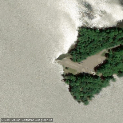
The main boat ramp and parking area are located near the dam off Price Street, with restroom facilities available. A spacious picnic area sits right on the water under a canopy of trees. The reservoir also serves as a trailhead for the Mahoning Valley Trail.
This man-made reservoir, dedicated in 1954, serves as Alliance's primary water source. The water body features approximately 8 miles of shoreline and reaches a maximum depth of 20 feet. Popular paddling routes include exploring the western end's no-wake zone and the narrow tributary fingers extending from the main body.
Fall paddling can be particularly rewarding, with opportunities to view colorful foliage reflected in the water. Early morning hours typically offer the calmest conditions for paddling, especially during peak summer boating season.
All boats must be registered with the State of Ohio. The park is open 24 hours daily, providing flexible access for dawn and dusk paddling experiences.
Water access, boat ramps & amenities
Learn how to get on Deer Creek Reservoir. Uncover great paddling access points, boat ramps, and all the facilities you need for an unforgettable day on the water. Some locations shown may border or include private property. Always check property boundaries and applicable regulations before visiting. PaddleWays's Public & Private Land layer can help you plan your access with confidence.
Paddle smarter with real-time insights
Whether you're en route and conditions shift or you're looking for the best spot based on current flows, we enable you to make informed decisions on the fly.








Find Places to Paddle

Over 400,000 Places to Paddle
Every user gets free access to launch points, boat ramps, and public property parcels.


Water and weather conditions (10 day forecast)
See the best times to paddle Deer Creek Reservoir and check the forecast before you go.
No forecast data available.
Paddling near Deer Creek Reservoir
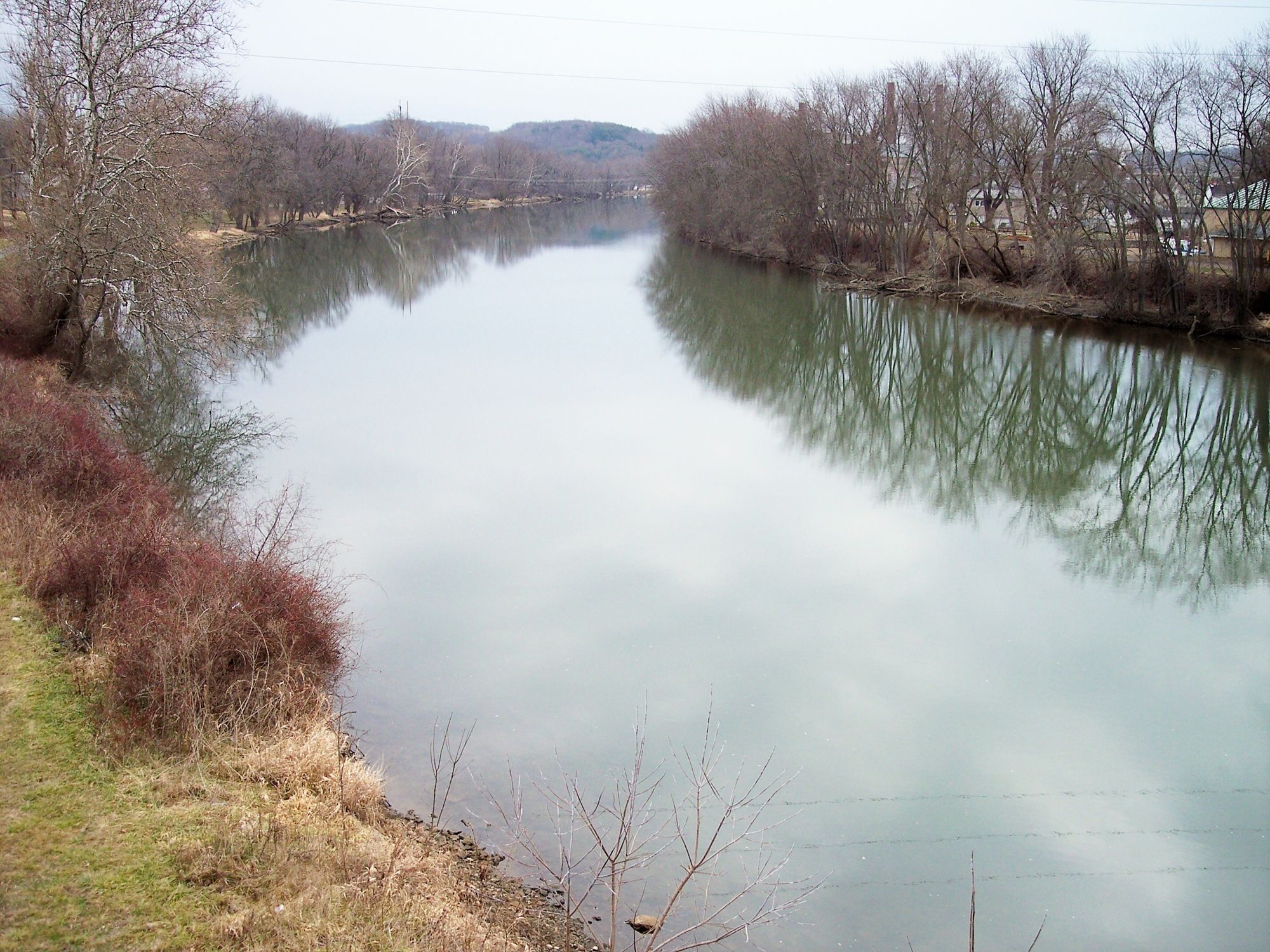
Tuscarawas River

Ohio River
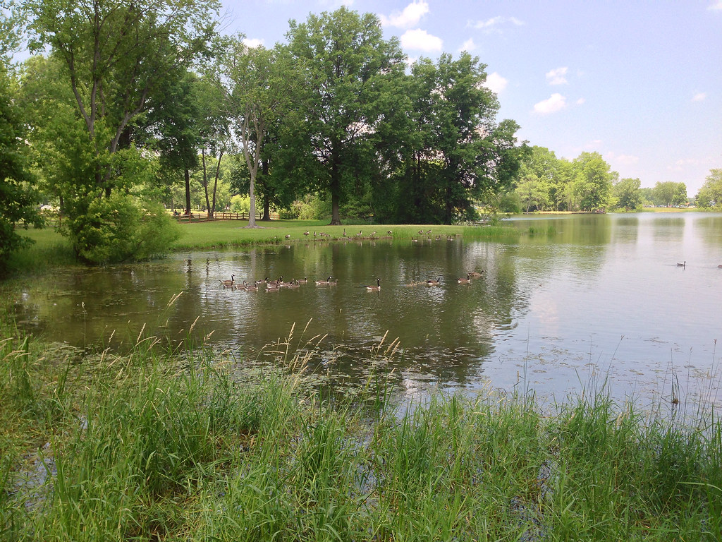
Mosquito Creek Lake
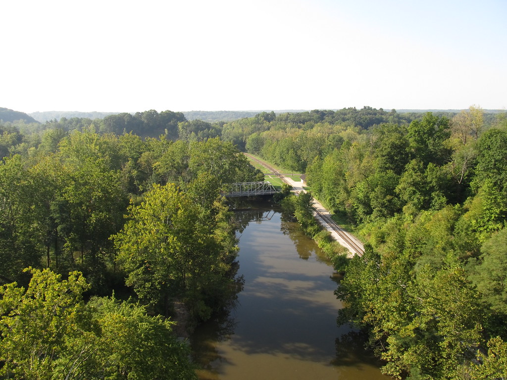
Cuyahoga River
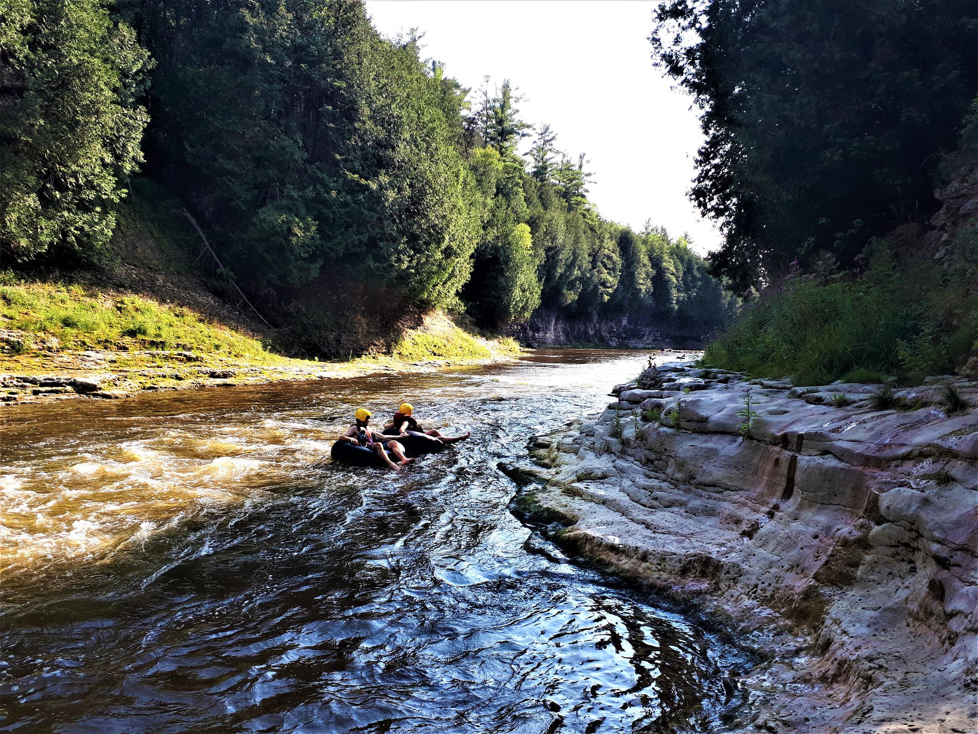
Grand River
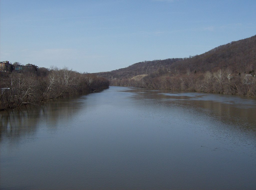
Beaver River
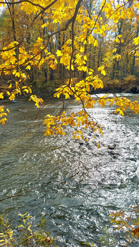
Chagrin River
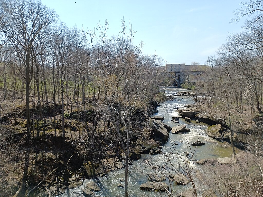
East Branch Rocky River
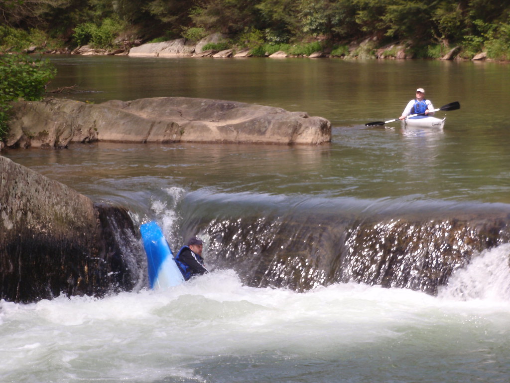
Muddy Creek
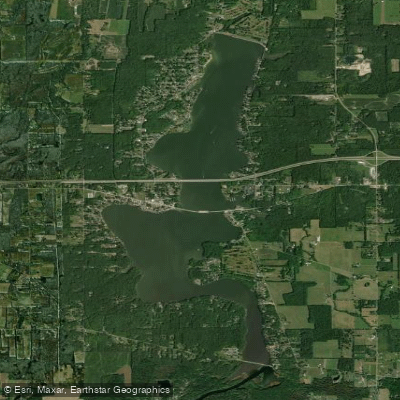
Lake Milton
Explore Ohio waters
Top paddling waters
Popular Cities
Loading popular cities...
Explore near Deer Creek Reservoir
Access points
Nearby waters
More in Ohio

Smarter Paddling Starts in the App.
Paddleways gives you everything you need to plan smarter, paddle better, and own every trip from first launch to takeout.