Osborn Bay Lake
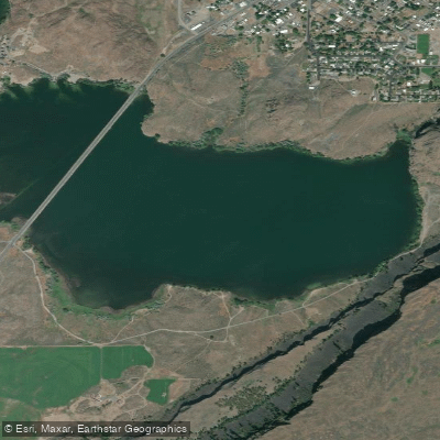
Osborn Bay Lake
- Boat Ramps
- 1
- Access Points
- 2
- Campsites
- 2
Osborn Bay Lake encompasses 321 acres within the Banks Lake system in Washington state, located near Electric City, Grand Coulee, and Coulee Dam. The bay features a primitive road maintained by Washington Department of Fish and Wildlife (WDFW) that provides access and parking around the eastern portion of the bay.
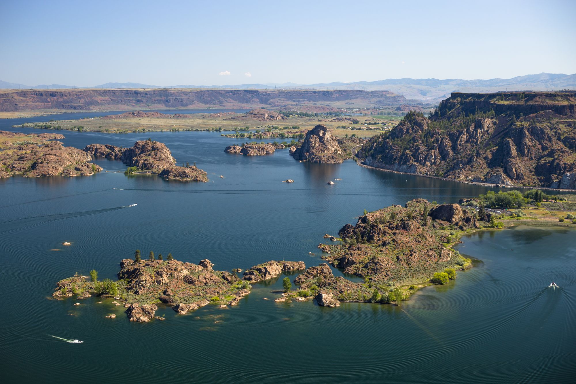
The area is part of the dramatic channeled scablands landscape, with basalt cliffs and rock formations creating a striking backdrop for paddling. Steamboat Rock dominates the skyline to the south. The bay connects to the larger Banks Lake system, offering opportunities to explore numerous rocky islands, protected coves, and the narrow passage known as Lover's Lane.
When crossing the main channel, paddlers should exercise caution due to frequent speedboat traffic. The more protected waters near shore and in Lover's Lane offer calmer conditions suitable for leisurely exploration. The shallow entrance to Lover's Lane effectively blocks larger boats, creating a haven for paddle craft.
Wildlife viewing opportunities abound, particularly for birds. The area serves as habitat for waterfowl, shorebirds, and birds of prey, including eagles. Spring and fall offer peak bird watching opportunities.
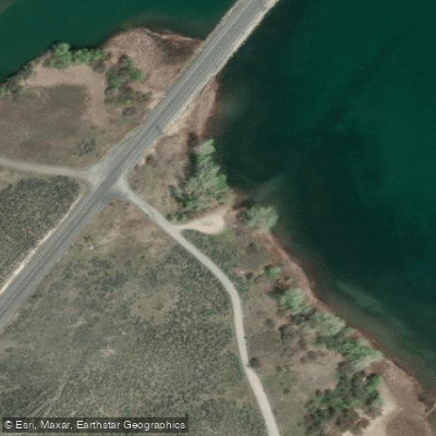
Landing sites can be challenging to find due to steep shorelines, though some rocky shelves and grassy patches provide natural take-out points. There are no designated launch facilities within the bay itself, but nearby Steamboat Rock State Park and Northrup Point provide access points.
A Discover Pass is required for parking at WDFW areas. The area is open year-round, though spring through fall are the primary paddling seasons. During these warmer months, paddlers should be aware of the potential presence of rattlesnakes on shore.
Note that high winds can develop quickly on Banks Lake, creating challenging paddling conditions. The bay's position within the greater Banks Lake system allows for both short excursions and extended touring opportunities along the 27-mile length of the main lake.
Water access, boat ramps & amenities
Learn how to get on Osborn Bay Lake. Uncover great paddling access points, boat ramps, and all the facilities you need for an unforgettable day on the water. Some locations shown may border or include private property. Always check property boundaries and applicable regulations before visiting. PaddleWays's Public & Private Land layer can help you plan your access with confidence.
Paddle smarter with real-time insights
Whether you're en route and conditions shift or you're looking for the best spot based on current flows, we enable you to make informed decisions on the fly.








Find Places to Paddle

Over 400,000 Places to Paddle
Every user gets free access to launch points, boat ramps, and public property parcels.


Water and weather conditions (10 day forecast)
See the best times to paddle Osborn Bay Lake and check the forecast before you go.
No forecast data available.
Paddling near Osborn Bay Lake

Columbia River
Banks Lake
Spokane River
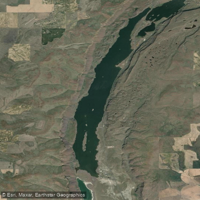
Lenore Lake
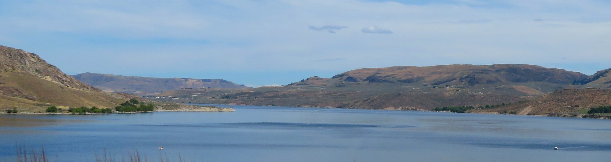
Franklin D Roosevelt Lake
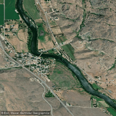
Okanogan River
Crab Creek
Hawk Creek
Sanpoil River Arm
Explore Washington waters
Top paddling waters
Popular Cities
Loading popular cities...
Explore near Osborn Bay Lake

Smarter Paddling Starts in the App.
Paddleways gives you everything you need to plan smarter, paddle better, and own every trip from first launch to takeout.