Bellingham Bay
- Saltwater
- Bay
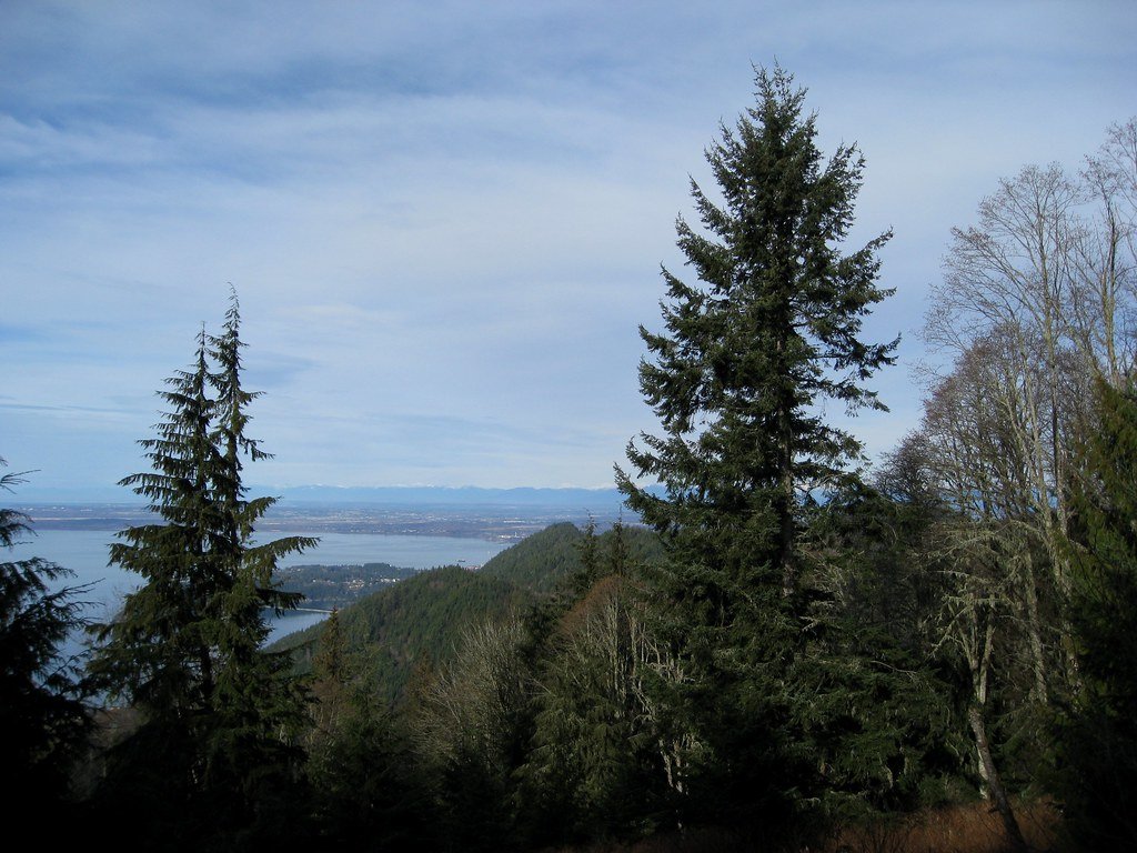
Bellingham Bay
- Saltwater
- Bay
- Sq. miles
- 50
- Boat Ramps
- 3
- Access Points
- 1
- Campsites
- 5
Bellingham Bay is a large, open coastal bay on the Salish Sea, forming the waterfront for the city of Bellingham. The bay's character is heavily influenced by its urban setting, featuring a working harbor with marinas, piers, and ferry terminals. The aesthetic includes views of the snow-capped North Cascades to the east and the forested shorelines of Lummi Island and the Chuckanut area to the west. The bay's waters are part of a marine environment, with salinity affected by freshwater outflow from the Nooksack River delta at its northeast end. Paddlers have numerous launch options, with several providing direct access to the bay. These include Squalicum Beach, a small rocky beach; the Squalicum Harbor Boat Launch, a concrete ramp within the harbor; Zuanich Point Park, with a dock launch; Cornwall Beach; Boulevard Park, with a small beach; Fairhaven Boat Ramp; and Marine Park, a nice beach west of the Alaska Ferry terminal. A key safety consideration is that Bellingham Bay can become very choppy even in a moderate south wind due to its significant fetch. Paddlers must also be mindful of substantial boat traffic, including shipping wakes near the refineries and ferry traffic, particularly when launching from Gooseberry Point for trips into adjacent waters. For trips within the main bay, tidal currents are not a major issue, but careful tide planning is essential for accessing specific features like Mud Bay at the northeast end of Chuckanut Bay, which requires a high tide of five to six feet to avoid expansive mud flats. Similarly, launching at Chuckanut Bay Park requires a tide above four to five feet. A popular day trip is to paddle from Fairhaven or Marine Park south into Chuckanut Bay to explore the wind-sculpted sandstone cliffs of Clark's Point and visit Chuckanut Island. The bay is known for seasonal bioluminescence from June through September, though the display can be faint and unpredictable due to city lights and river runoff. Facilities like restrooms are available at some launch sites, including Zuanich Point Park, Boulevard Park, and Marine Park.
Water access, boat ramps & amenities
Learn how to get on Bellingham Bay. Uncover great paddling access points, boat ramps, and all the facilities you need for an unforgettable day on the water. Some locations shown may border or include private property. Always check property boundaries and applicable regulations before visiting. PaddleWays's Public & Private Land layer can help you plan your access with confidence.
Paddle smarter with real-time insights
Whether you're en route and conditions shift or you're looking for the best spot based on current flows, we enable you to make informed decisions on the fly.








Find Places to Paddle

Over 400,000 Places to Paddle
Every user gets free access to launch points, boat ramps, and public property parcels.


Tides, wind & water conditions (10 day forecast)
On open water, wind and tide matter as much as the weather. See the best times to paddle Bellingham Bay and check the marine forecast before you launch.
Loading tide predictions…
Paddling near Bellingham Bay
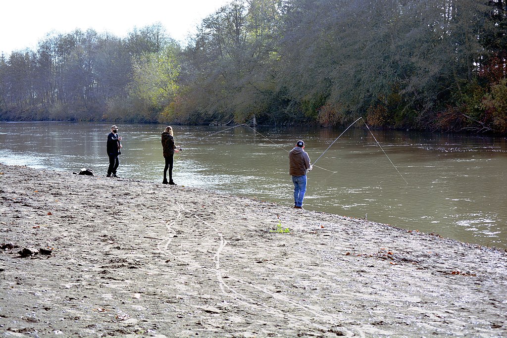
Nooksack River
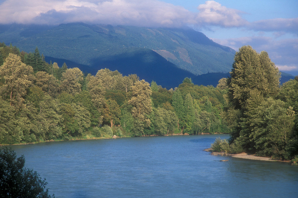
Skagit River
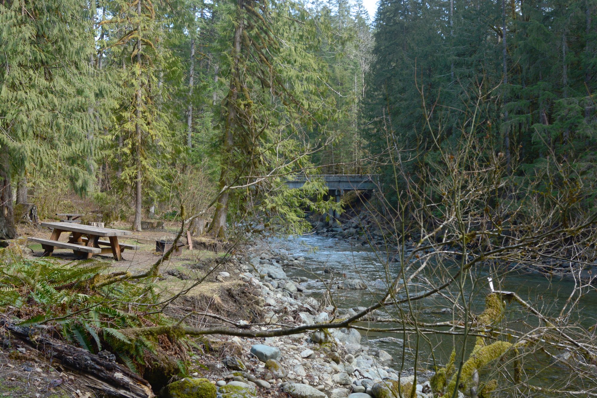
North Fork Nooksack River
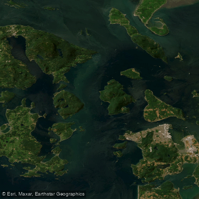
Rosario Strait
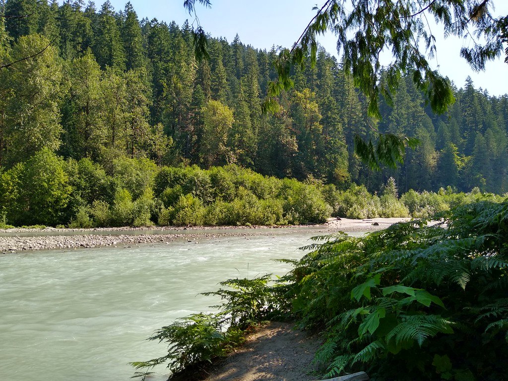
Sauk River
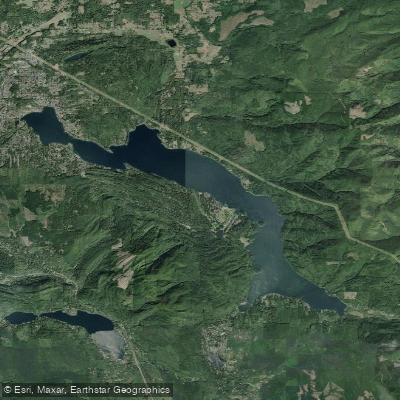
Lake Whatcom
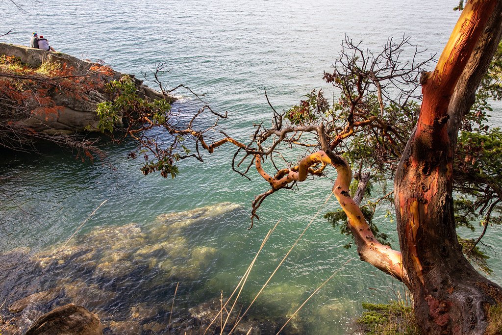
Samish Bay

Lake Padden
Explore Washington waters
Top paddling waters
Popular Cities
Loading popular cities...
Explore near Bellingham Bay
Access points
Nearby waters
More in Washington

Smarter Paddling Starts in the App.
Paddleways gives you everything you need to plan smarter, paddle better, and own every trip from first launch to takeout.