Samish Bay
- Saltwater
- Bay
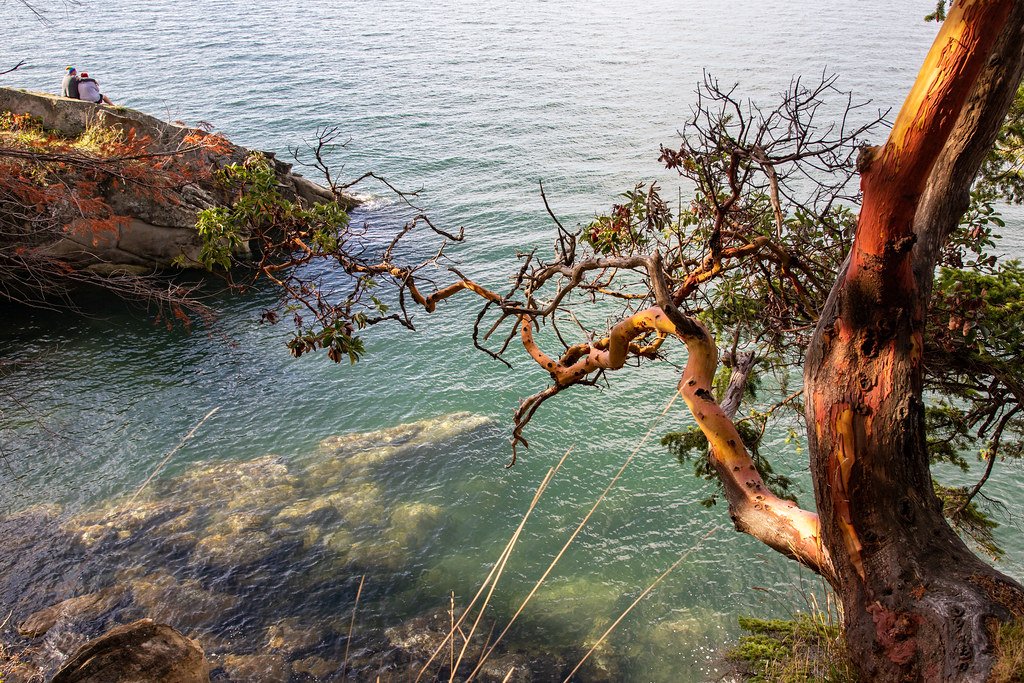
Samish Bay
- Saltwater
- Bay
- Sq. miles
- 22
- Boat Ramps
- 0
- Access Points
- 0
- Campsites
- 6
Samish Bay is a coastal bay in northern Puget Sound, Washington, offering paddling routes with views of the San Juan Islands and Chuckanut Mountain. The bay is characterized by extensive tidal flats, which become exposed at low tide, requiring paddlers to plan launches and landings carefully to avoid long treks across mud. Access for hand-carried craft is available at several points. The Samish Island Recreation Area provides one official beach access point with a trail down to the shore, free parking, and portable toilets. On the mainland, Larrabee State Park's Wildcat Cove features a concrete boat launch suitable for kayaks, with a large parking area, though a launch fee applies; the access gate there locks at dusk. Another potential launch for exploring the bay's northern shoreline is from the Community Boating Center in Fairhaven, which offers a more urban starting point.
Tidal currents are a significant factor, especially near the mouth of the Samish River, where river outflow can create strong currents. Paddlers report that an ebbing tide can assist progress when heading into the bay from the river. Wind is a major safety consideration, as strong winds from the south or west can funnel into the bay, creating waves, particularly where the wind opposes the current; the leeward side of Samish Island can provide protection. The bay is also used for commercial oyster farming, with visible oyster beds. Wildlife sightings are common, including large wintering populations of ducks and snow geese in the adjacent Skagit River delta, harbor seals, bald eagles, and various species of jellyfish. The water quality at monitored locations like Wildcat Cove is tracked, and paddlers should be aware of shellfish harvest regulations. The overall experience combines open bay paddling, intricate shoreline exploration along sandstone formations, and connection to a major river system, demanding respect for tides, wind, and mud.
Water access, boat ramps & amenities
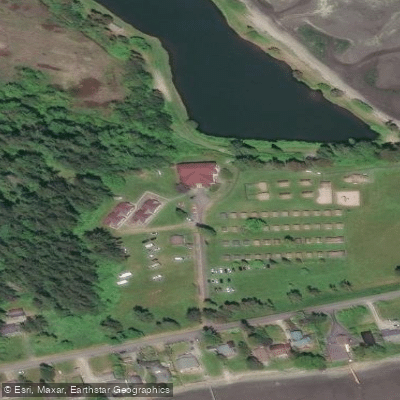
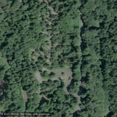
Learn how to get on Samish Bay. Uncover great paddling access points, boat ramps, and all the facilities you need for an unforgettable day on the water. Some locations shown may border or include private property. Always check property boundaries and applicable regulations before visiting. PaddleWays's Public & Private Land layer can help you plan your access with confidence.
Paddle smarter with real-time insights
Whether you're en route and conditions shift or you're looking for the best spot based on current flows, we enable you to make informed decisions on the fly.








Find Places to Paddle

Over 400,000 Places to Paddle
Every user gets free access to launch points, boat ramps, and public property parcels.


Tides, wind & water conditions (10 day forecast)
On open water, wind and tide matter as much as the weather. See the best times to paddle Samish Bay and check the marine forecast before you launch.
Loading tide predictions…
Paddling near Samish Bay
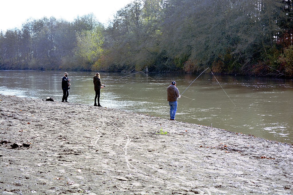
Nooksack River
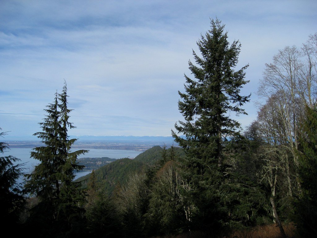
Bellingham Bay
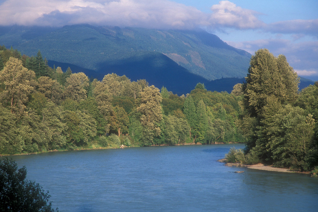
Skagit River
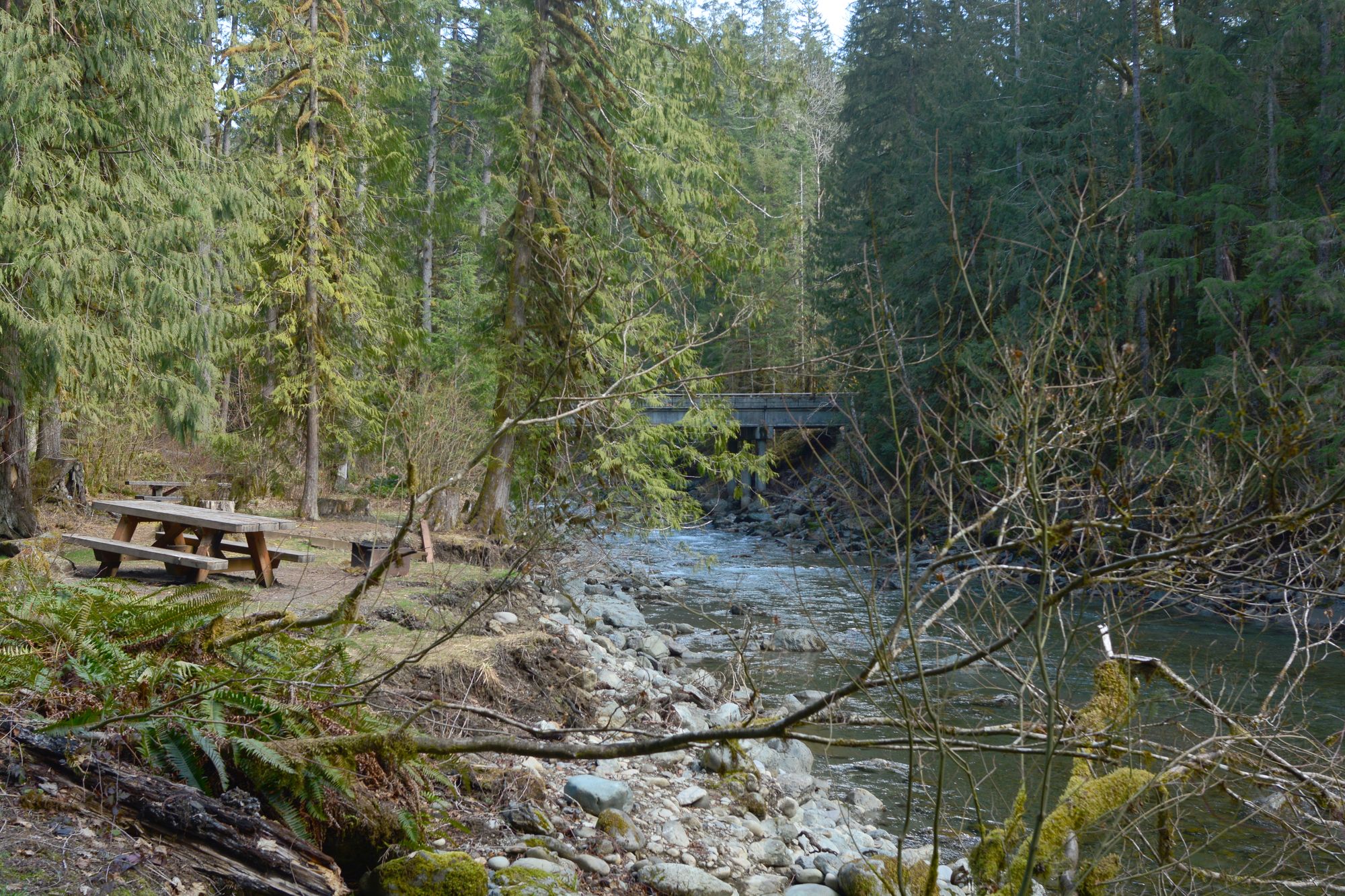
North Fork Nooksack River
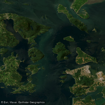
Rosario Strait
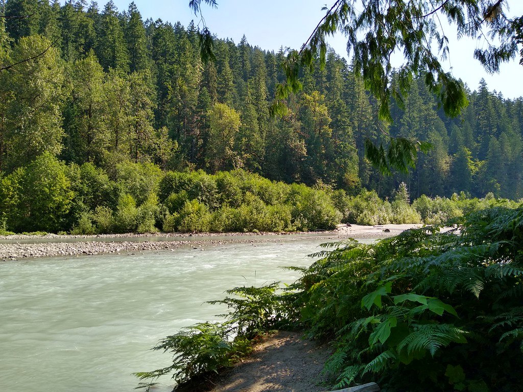
Sauk River
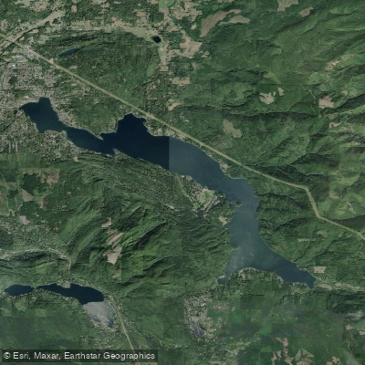
Lake Whatcom

Lake Padden
Explore Washington waters
Top paddling waters
Popular Cities
Loading popular cities...
Explore near Samish Bay
Access points
Nearby waters
More in Washington

Smarter Paddling Starts in the App.
Paddleways gives you everything you need to plan smarter, paddle better, and own every trip from first launch to takeout.