Rosario Strait
- Saltwater
- Strait
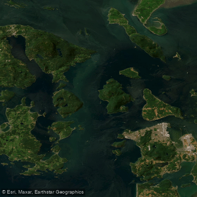
Rosario Strait
- Saltwater
- Strait
- Sq. miles
- 96
- Boat Ramps
- 1
- Access Points
- 0
- Campsites
- 27
Rosario Strait is a major, exposed saltwater channel in Washington State, forming a primary route between the mainland near Anacortes and the San Juan Islands. It is known for powerful and complex tidal currents, especially during ebb tides, which can become turbulent where Guemes Channel, Bellingham Channel, and Thatcher Pass converge. Significant wind waves can build in this exposed area, and conditions can deteriorate rapidly when a strong ebb current opposes a southerly wind, creating steep, breaking waves. The strait is a busy shipping lane for commercial vessels and pleasure craft, requiring paddlers to maintain constant vigilance and use a VHF radio to monitor traffic; coordinating crossings with Vessel Traffic Service (VSTS) is strongly recommended. Water temperatures are frigid, averaging around 51 degrees Fahrenheit, making immersion protection like a drysuit essential for survival.
The most common mainland access point for crossing the strait is Washington Park in Anacortes on Fidalgo Island, which offers parking and launch facilities. Landing at the Anacortes San Juan ferry terminal is prohibited. Other potential launch points include Cabana Park in Anacortes and Olga Marine Park on the southeastern end of Orcas Island, which provides access to the strait's eastern shore. A classic and challenging day trip is the 7.5 nautical mile round trip from Washington Park to James Island Marine State Park, which involves a 3.5-mile open crossing of Rosario Strait. This route tests skills against currents, wind, and boat traffic before reaching a campsite on James Island, which has no potable water. Longer, more advanced multi-day routes often use the strait as a gateway, such as trips to Cypress Island, Lopez Island, or a circumnavigation of Orcas Island. Key hazards include dense fog, which can reduce visibility to just a few feet, and close encounters with large ships in the shipping channel.
The area is noted for wildlife sightings, including orcas, and federal law requires maintaining a distance of 300 yards from these whales. The shoreline features a mix of forested islands, rocky headlands, and occasional sandy beaches. Due to the confluence of currents and channels, Rosario Strait represents a serious test of paddling skill, navigation, tide planning, and risk assessment, suitable only for experienced sea kayakers prepared for dynamic and potentially hazardous coastal conditions.
Water access, boat ramps & amenities
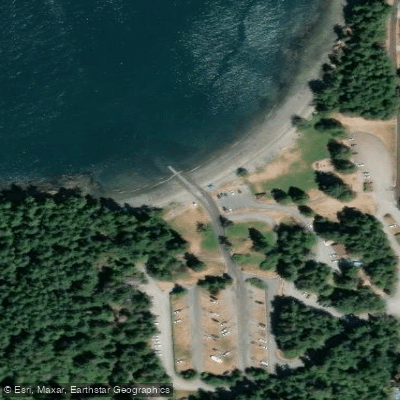
Learn how to get on Rosario Strait. Uncover great paddling access points, boat ramps, and all the facilities you need for an unforgettable day on the water. Some locations shown may border or include private property. Always check property boundaries and applicable regulations before visiting. PaddleWays's Public & Private Land layer can help you plan your access with confidence.
Paddle smarter with real-time insights
Whether you're en route and conditions shift or you're looking for the best spot based on current flows, we enable you to make informed decisions on the fly.








Find Places to Paddle

Over 400,000 Places to Paddle
Every user gets free access to launch points, boat ramps, and public property parcels.


Tides, wind & water conditions (10 day forecast)
On open water, wind and tide matter as much as the weather. See the best times to paddle Rosario Strait and check the marine forecast before you launch.
Loading tide predictions…
Paddling near Rosario Strait
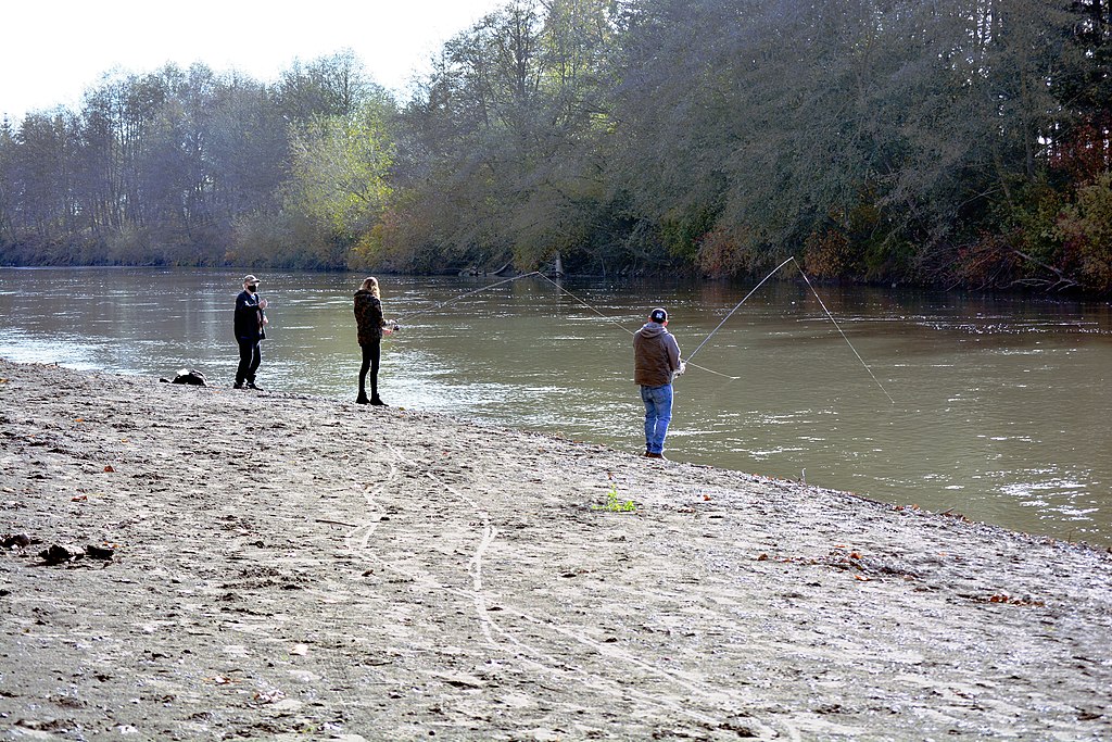
Nooksack River
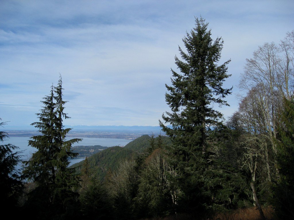
Bellingham Bay
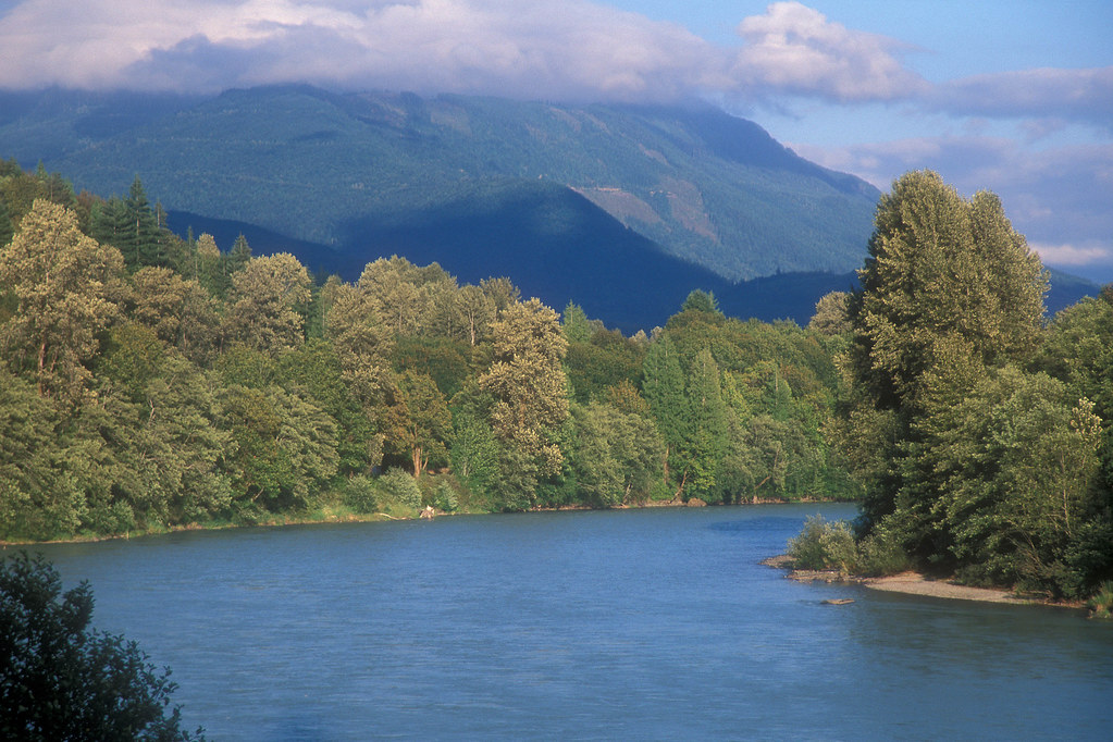
Skagit River
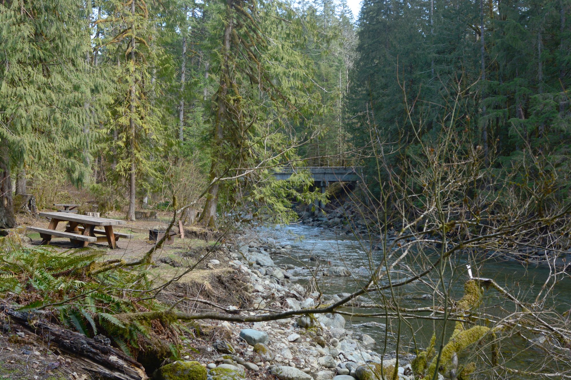
North Fork Nooksack River
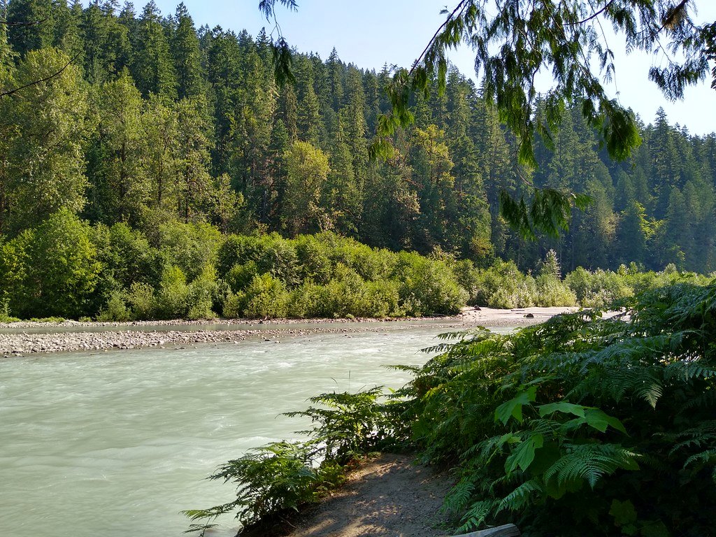
Sauk River
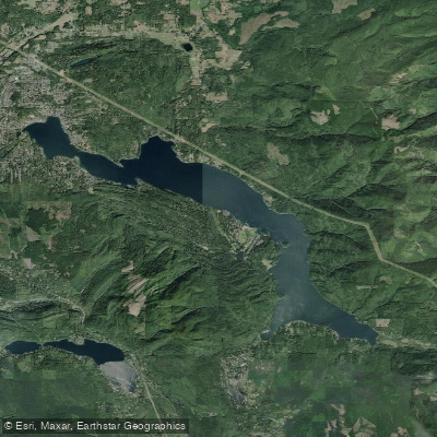
Lake Whatcom
Samish Bay

Lake Padden
Explore Washington waters
Top paddling waters
Popular Cities
Loading popular cities...
Explore near Rosario Strait
Access points
- Washington Park Boat Ramp
- Buck Bay Bridge
- Paul Creek Bridge
- Doe Island Campground
- James Island Campground
- Cascadia Marine Trail Campground
- Watmough Bay Campground
- Deception Pass Campground
- Deception Pass Campground
- Cascade Marine Trail Campground For Human Powered Boaters
- Deception Pass Campground
- Moran Campground
- All 30 spots
Nearby waters
More in Washington

Smarter Paddling Starts in the App.
Paddleways gives you everything you need to plan smarter, paddle better, and own every trip from first launch to takeout.