Big Quilcene River
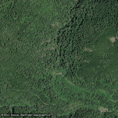
Big Quilcene River
- Boat Ramps
- 0
- Access Points
- 1
- Campsites
- 8
The Big Quilcene River originates in the eastern Olympic Mountains of Washington state and flows southeast for approximately 20 miles before emptying into Quilcene Bay, an arm of Hood Canal. This river system drains a watershed of around 70 square miles, with its main tributary being the Little Quilcene River. The Big Quilcene offers paddlers a range of whitewater experiences, from extreme Class V+ rapids in its upper reaches to more moderate Class III-IV whitewater in its lower sections.
The river is divided into two main paddling segments: The Upper Big Quilcene, a 2-mile stretch from below Tunnel Creek to Rainbow Campground, features an incredibly steep gradient of 165 feet per mile. This section is only suitable for expert kayakers with extensive Class V+ experience, as it contains continuous, high-gradient rapids with little opportunity for rest. The Lower Big Quilcene, a 3.2-mile run from Rainbow Campground to near the Quilcene Fish Hatchery, offers Class IV-V whitewater. While slightly less intense than the upper section, it still demands advanced paddling skills to navigate its technical rapids safely.
The optimal paddling season typically runs from November to June, when snowmelt and rainfall provide sufficient water levels. However, paddlers should always check current conditions, as the river can become dangerously high during peak flows.
The river corridor is characterized by lush, temperate rainforest typical of the Olympic Peninsula. Wildlife sightings may include black-tailed deer, Roosevelt elk, and various bird species. The surrounding landscape features steep, forested slopes and occasional rock outcroppings.
Access to the put-in for the Upper Big Quilcene is via forest roads near Tunnel Creek, while the Lower Big Quilcene's put-in is at Rainbow Campground. The nearest town is Quilcene, located about 7 miles southeast of the take-out point.
Paddlers should be aware of potential hazards such as strainers, undercut rocks, and swift currents. All boaters must carry appropriate safety gear and possess self-rescue skills. Additionally, parts of the river may pass through Olympic National Forest land, so paddlers should check for any specific regulations or permits required.
While primarily known for its challenging whitewater, the Big Quilcene also holds cultural significance as part of the traditional territory of the S'Klallam and Twana peoples. Today, it plays a vital role in the local ecosystem and supports important salmon runs.
For those seeking a multi-day adventure, it's possible to combine runs on the Big Quilcene with explorations of nearby rivers like the Dosewallips or Duckabush, creating a tour of Olympic Peninsula whitewater gems.
Water access, boat ramps & amenities
Learn how to get on Big Quilcene River. Uncover great paddling access points, boat ramps, and all the facilities you need for an unforgettable day on the water. Some locations shown may border or include private property. Always check property boundaries and applicable regulations before visiting. PaddleWays's Public & Private Land layer can help you plan your access with confidence.
Paddle smarter with real-time insights
Whether you're en route and conditions shift or you're looking for the best spot based on current flows, we enable you to make informed decisions on the fly.








Find Places to Paddle

Over 400,000 Places to Paddle
Every user gets free access to launch points, boat ramps, and public property parcels.


Water and weather conditions (10 day forecast)
See the best times to paddle Big Quilcene River and check the forecast before you go.
BIG QUILCENE RIVER BELOW DIVERSION NR QUILCENE, WA
Paddling near Big Quilcene River
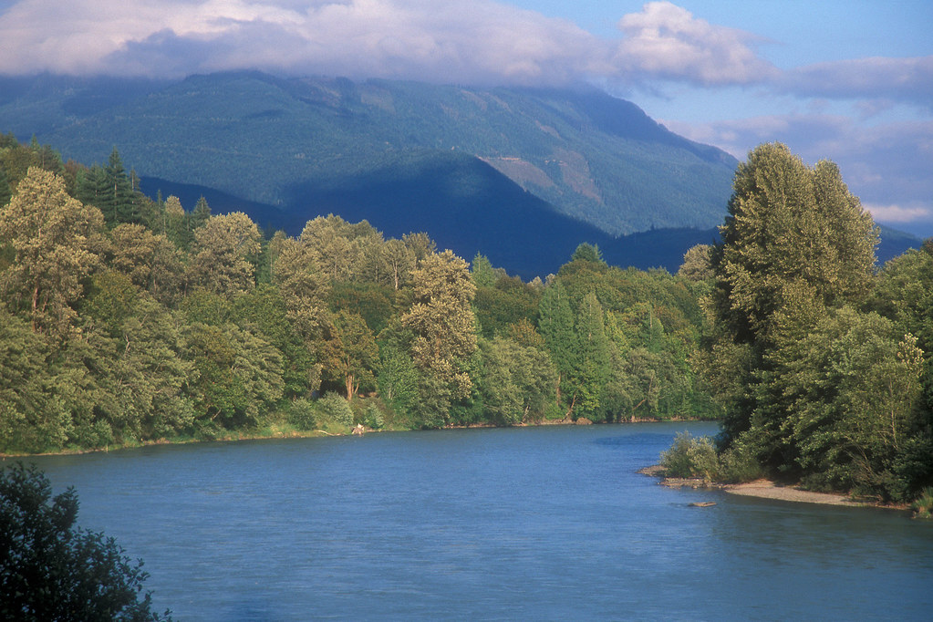
Skagit River
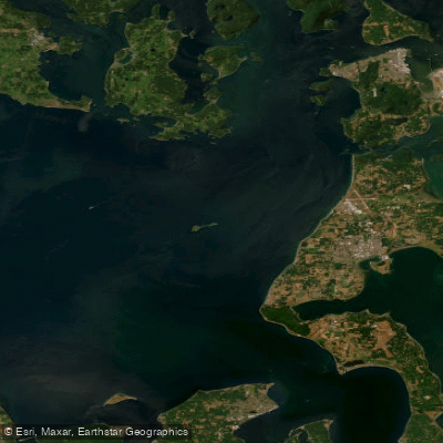
Strait of Juan de Fuca
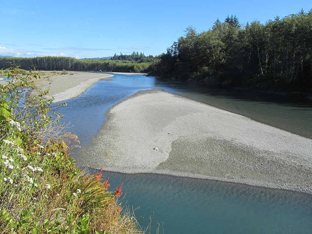
Hoh River
Queets River
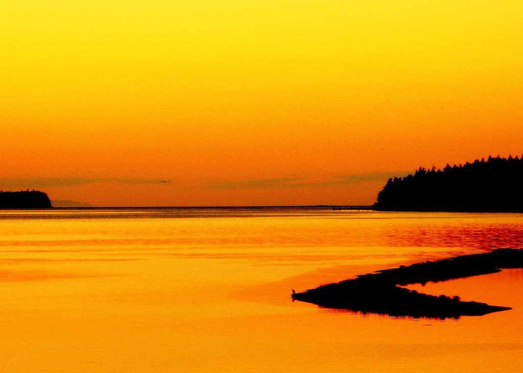
Sequim Bay
Stillaguamish River
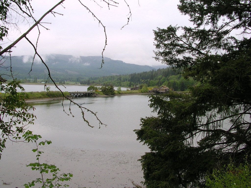
Discovery Bay
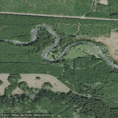
Sol Duc River
Explore Washington waters
Top paddling waters
Popular Cities
Loading popular cities...
Explore near Big Quilcene River
Access points
Nearby waters
More in Washington

Smarter Paddling Starts in the App.
Paddleways gives you everything you need to plan smarter, paddle better, and own every trip from first launch to takeout.