Sequim Bay
- Saltwater
- Bay
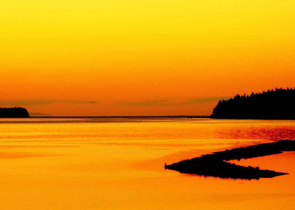
Sequim Bay
- Saltwater
- Bay
- Sq. miles
- 4.7
- Boat Ramps
- 1
- Access Points
- 0
- Campsites
- 2
Sequim Bay is a scenic saltwater bay on Washington's Olympic Peninsula, approximately 4 miles long and between 0.75 to 2 miles wide. The bay is protected from the wind waves and swells of the Strait of Juan de Fuca by Travis Spit, creating generally calm conditions suitable for beginners, though complex currents exist for more advanced paddlers. A full circumnavigation of the bay is roughly 10 to 12 miles. The primary public launch points are John Wayne Marina and Sequim Bay State Park. At John Wayne Marina, paddlers can use the boat ramp for a fee or launch for free from the adjacent park beach, which features a moderately steep ramp and a rocky, barnacle-covered shoreline that requires water shoes, especially at low tide when the water recedes significantly. Sequim Bay State Park offers a free launch for kayaks and SUPs, though a Discover Pass is required for vehicle parking. The park's moorage dock is permanently closed, but the boat launch dock is open with a 15-minute time limit for loading and unloading.
Paddlers must be aware of strong tidal currents, particularly noted near Protection Island outside the bay, which necessitate careful trip timing. Water temperatures in the adjacent Strait of Juan de Fuca range from 44 to 57 degrees Fahrenheit, making appropriate immersion gear like dry suits essential. The bay is home to harbor seals, otters, and occasional grey whales, and its kelp beds and dramatic cliffs offer scenic exploration. Protection Island, a natural wildlife refuge visible from the bay, is strictly off-limits for landing, and paddlers must stay 200 yards away. Boat traffic is present, especially near the marina and channel. The area is in the Olympic rain shadow, offering a drier microclimate favorable for year-round paddling, though spring through fall are the most popular seasons. Facilities at the main access points include parking, restrooms, and nearby campgrounds.
Water access, boat ramps & amenities
Learn how to get on Sequim Bay. Uncover great paddling access points, boat ramps, and all the facilities you need for an unforgettable day on the water. Some locations shown may border or include private property. Always check property boundaries and applicable regulations before visiting. PaddleWays's Public & Private Land layer can help you plan your access with confidence.
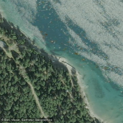
Paddle smarter with real-time insights
Whether you're en route and conditions shift or you're looking for the best spot based on current flows, we enable you to make informed decisions on the fly.








Find Places to Paddle

Over 400,000 Places to Paddle
Every user gets free access to launch points, boat ramps, and public property parcels.


Tides, wind & water conditions (10 day forecast)
On open water, wind and tide matter as much as the weather. See the best times to paddle Sequim Bay and check the marine forecast before you launch.
Loading tide predictions…
Paddling near Sequim Bay
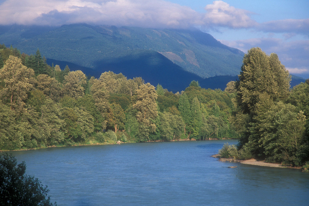
Skagit River
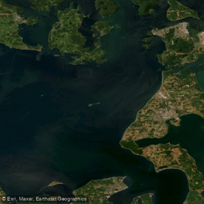
Strait of Juan de Fuca
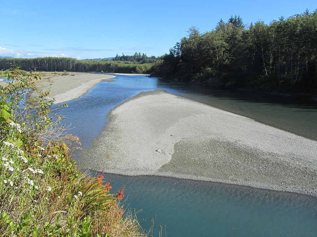
Hoh River
Queets River
Big Quilcene River
Stillaguamish River
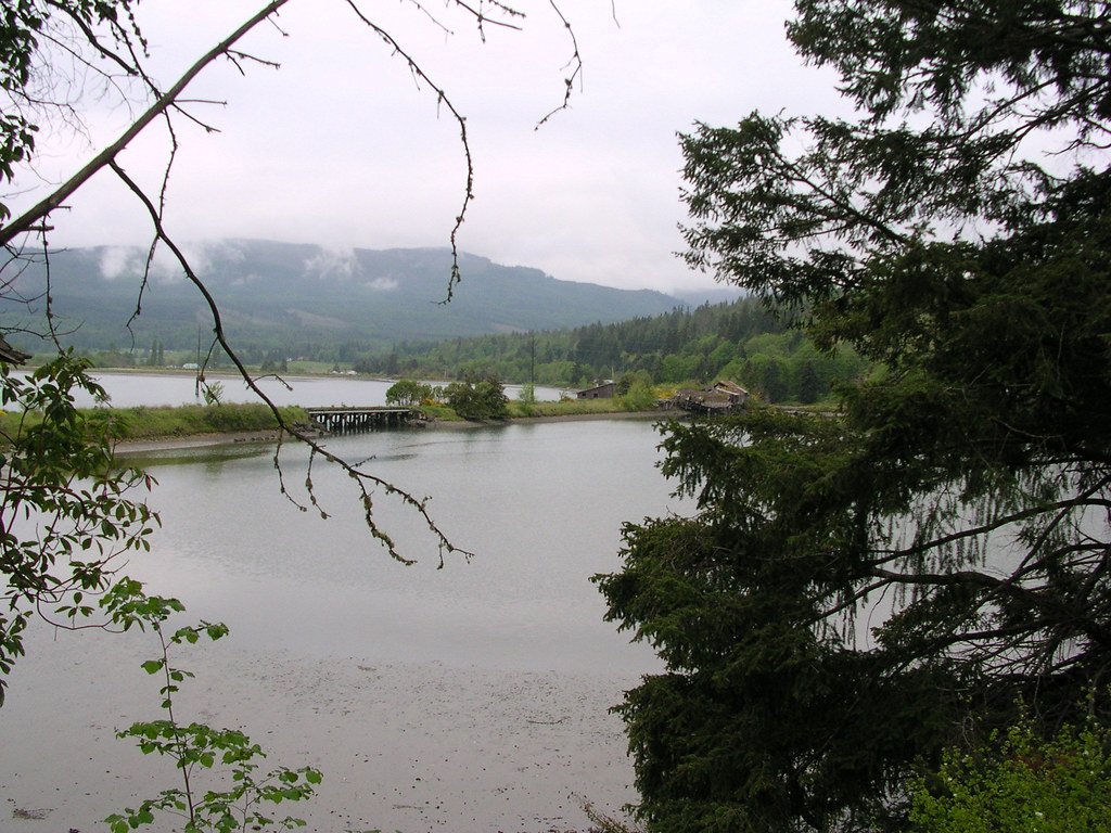
Discovery Bay
Sol Duc River
Explore Washington waters
Top paddling waters
Popular Cities
Loading popular cities...
Explore near Sequim Bay
Access points
Nearby waters
More in Washington

Smarter Paddling Starts in the App.
Paddleways gives you everything you need to plan smarter, paddle better, and own every trip from first launch to takeout.