Strait of Juan de Fuca
- Saltwater
- Strait
Strait of Juan de Fuca
- Saltwater
- Strait
- Sq. miles
- 141
- Boat Ramps
- 1
- Access Points
- 0
- Campsites
- 17
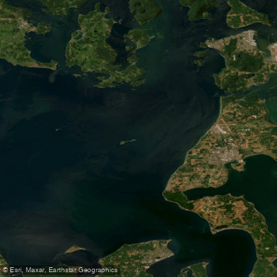
The Strait of Juan de Fuca is a significant and challenging saltwater strait separating Washington's Olympic Peninsula from Vancouver Island. It is characterized by strong currents, powerful winds, and steep, bumpy wave conditions due to channeling effects, demanding advanced paddling skills for open crossings. The south shore features dramatic 300-foot tall rock cliffs, sea caves, arches, and protected pocket beaches accessible from several launch points. Key public access points include Clallam Bay County Park, Dakwas Park in Neah Bay (requiring a Makah tribal recreation permit), Freshwater Bay County Park boat ramp, and Salt Creek Recreation Area at Crescent Beach. A private beach at Crescent Bay charges a day-use fee for landing. Paddlers must be prepared for surf zone landings, particularly at Salt Creek, which is a popular surfing spot, and should avoid launching in northwest swells over five feet for safety.
Currents in the strait can be strong, exceeding 1.5 knots along the shore and reaching 4 knots in the central channel, making careful tide and current planning essential. For the section from Clallam Bay to Neah Bay, paddling west to east provides current assistance. The open crossing from Port Angeles to Race Rocks in Canada is a 24-nautical-mile round trip requiring precise calculation of ferry angles to account for currents and wind, with significant attention needed to avoid heavy tanker traffic. Wildlife sightings can include humpback whales, harbor seals, and diverse seabirds like rhinoceros auklets and common murres. The coastline offers exploration of rich kelp beds, tide pools, and historic WWII bunkers. Due to the exposed nature of the strait, paddlers are advised to carry essential safety gear including a dry suit, VHF radio, GPS, tow rope, and emergency overnight kit, and to be proficient in self-rescue. Conditions are commonly windy, so trips are best undertaken when forecasts are favorable, often requiring a late afternoon start for calmer winds.
Water access, boat ramps & amenities
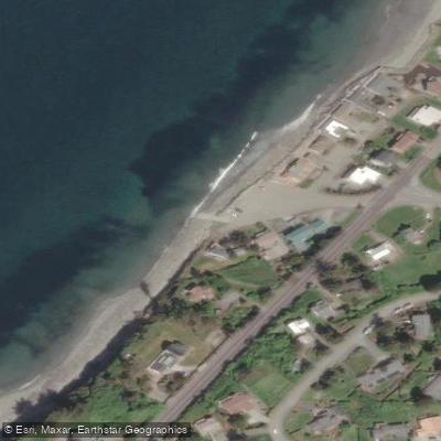
Learn how to get on Strait of Juan de Fuca. Uncover great paddling access points, boat ramps, and all the facilities you need for an unforgettable day on the water. Some locations shown may border or include private property. Always check property boundaries and applicable regulations before visiting. PaddleWays's Public & Private Land layer can help you plan your access with confidence.
Paddle smarter with real-time insights
Whether you're en route and conditions shift or you're looking for the best spot based on current flows, we enable you to make informed decisions on the fly.








Find Places to Paddle

Over 400,000 Places to Paddle
Every user gets free access to launch points, boat ramps, and public property parcels.


Tides, wind & water conditions (10 day forecast)
On open water, wind and tide matter as much as the weather. See the best times to paddle Strait of Juan de Fuca and check the marine forecast before you launch.
Loading tide predictions…
Paddling near Strait of Juan de Fuca
Skagit River

Lake Washington
Nooksack River
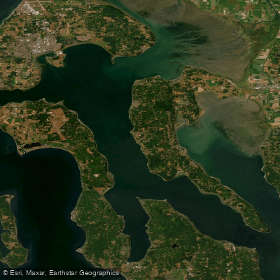
Saratoga Passage
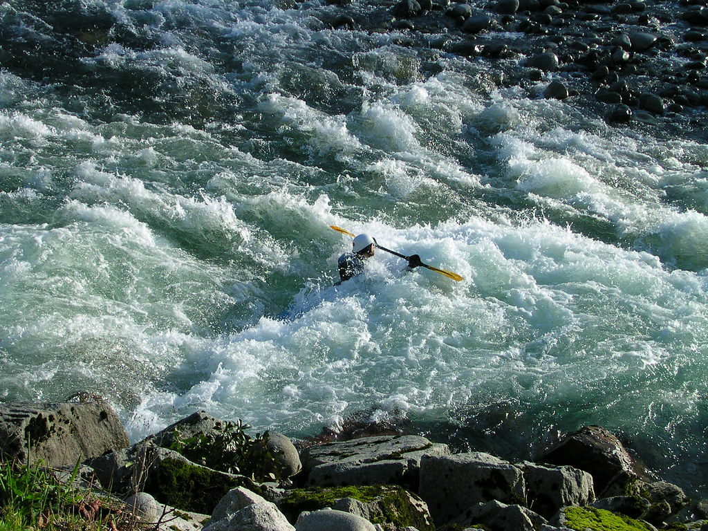
Skykomish River
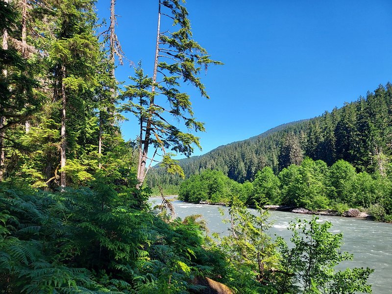
Snoqualmie River
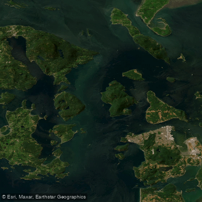
Rosario Strait
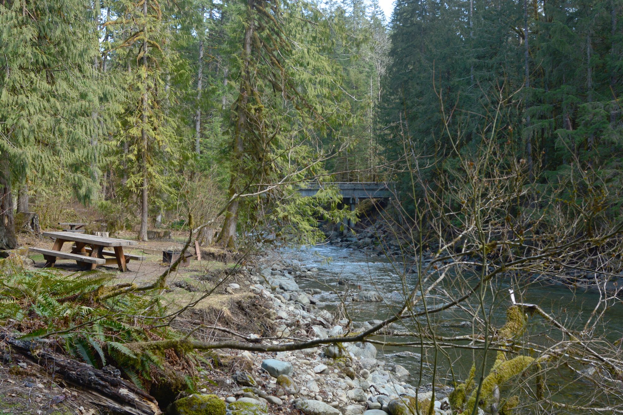
North Fork Nooksack River
Explore Washington waters
Top paddling waters
Popular Cities
Loading popular cities...
Explore near Strait of Juan de Fuca
Access points
- Hastie Lake Boat Ramp
- Joseph Whidbey Sp Cmt Site Campground
- Fort Ebey State Park (cmt) Campground
- Fort Ebey State Park Campground
- Fort Ebey State Park Campground
- Fort Casey State Park Campground
- Deception Pass Campground
- Fort Worden Campground
- Watmough Bay Campground
- Deception Pass Campground
- Fort Worden Campground
- Deception Pass Campground
- All 18 spots
Nearby waters
More in Washington

Smarter Paddling Starts in the App.
Paddleways gives you everything you need to plan smarter, paddle better, and own every trip from first launch to takeout.