Bogachiel River
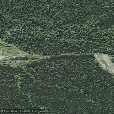
Bogachiel River
- Boat Ramps
- 5
- Access Points
- 10
- Campsites
- 40
The Bogachiel River is a pristine waterway that originates high in the Olympic Wilderness of Washington state. Flowing westward for approximately 50 miles through Olympic National Park, it eventually joins with other rivers to form the Quillayute River before emptying into the Pacific Ocean near La Push. Paddlers can enjoy several sections of the Bogachiel, with the most popular run being the 4.7-mile stretch from the Olympic National Park boundary to Bogachiel State Park at Highway 101. This Class II section offers a scenic and relatively straightforward experience suitable for intermediate paddlers. The river transitions from old-growth forest within the park to areas of more recent logging activity, providing a stark visual contrast of protected and managed lands.
Another frequently paddled section is the 10-mile Hatchery to Wilson's run, known for its easy Class I-II rapids and excellent steelhead fishing opportunities. This stretch typically takes about 5 hours to float, allowing ample time for angling. The overall difficulty of the Bogachiel ranges from Class I to II, making it accessible to a wide range of paddlers. However, fallen trees can occasionally create hazards, particularly in the first 200 yards below the hatchery put-in. The river is best paddled during the winter and spring months when water levels are higher due to rainfall and snowmelt. Summer flows can be too low for enjoyable paddling in some sections.
The Bogachiel flows through a classic Pacific Northwest lowland rainforest ecosystem, characterized by towering conifers, dense understory vegetation, and abundant wildlife. The river and surrounding forests provide habitat for various salmon species, steelhead, black bears, Roosevelt elk, and numerous bird species. Key access points include the Olympic National Park boundary, Bogachiel State Park, and the Bogachiel Hatchery. The nearby town of Forks serves as a base for many river trips, offering supplies and accommodations.
The Bogachiel River holds cultural significance for local Native American tribes and has long been an important source of fish. Today, it's renowned as one of the premier steelhead fishing rivers in the country. Paddlers should be aware of rapidly changing weather conditions typical of the Olympic Peninsula and the potential for fallen trees creating river hazards. Always check current river conditions and obtain necessary permits before embarking on a trip. For those seeking a multi-day adventure, it's possible to combine the Bogachiel with other nearby rivers like the Sol Duc or Calawah for extended trips, though this requires careful planning and more advanced skills.
Water access, boat ramps & amenities
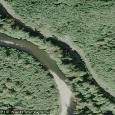
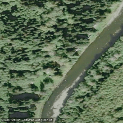
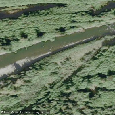
Learn how to get on Bogachiel River. Uncover great paddling access points, boat ramps, and all the facilities you need for an unforgettable day on the water. Some locations shown may border or include private property. Always check property boundaries and applicable regulations before visiting. PaddleWays's Public & Private Land layer can help you plan your access with confidence.
Paddle smarter with real-time insights
Whether you're en route and conditions shift or you're looking for the best spot based on current flows, we enable you to make informed decisions on the fly.








Find Places to Paddle

Over 400,000 Places to Paddle
Every user gets free access to launch points, boat ramps, and public property parcels.


Water and weather conditions (10 day forecast)
See the best times to paddle Bogachiel River and check the forecast before you go.
BOGACHIEL RIVER NEAR FORKS, WA
All Flow Stations
Paddling near Bogachiel River
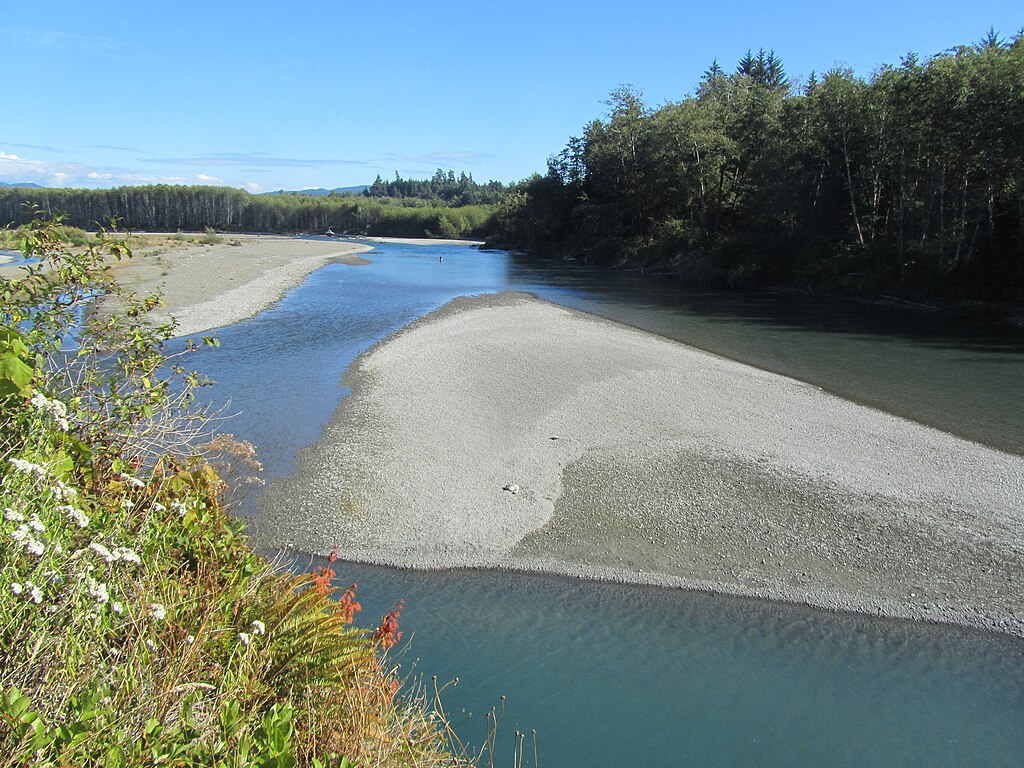
Hoh River
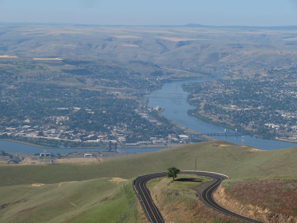
Clearwater River
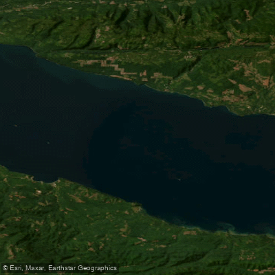
Strait of Juan de Fuca
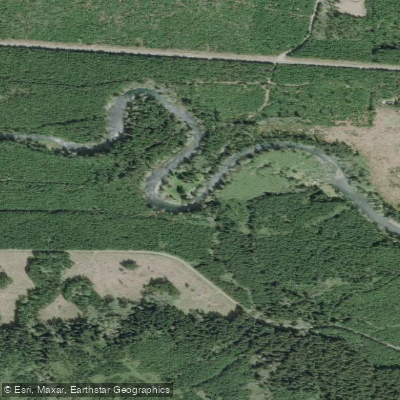
Sol Duc River
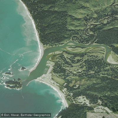
Quillayute River
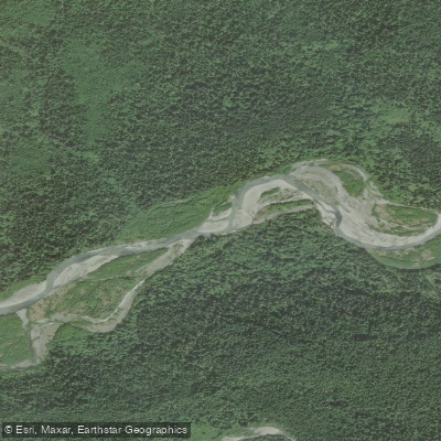
Queets River
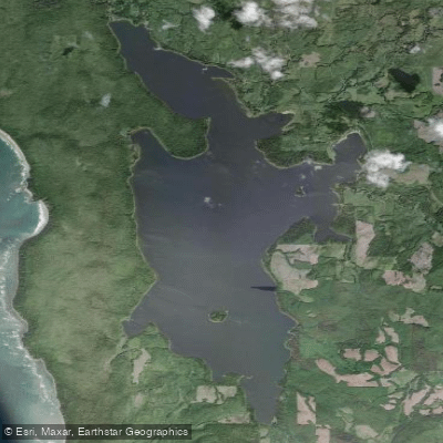
Ozette Lake
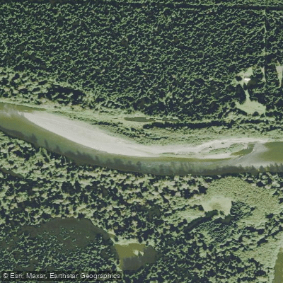
Richwine Gravel Bar
Stequaleho Creek
Explore Washington waters
Top paddling waters
Popular Cities
Loading popular cities...
Explore near Bogachiel River
Access points
Nearby waters
More in Washington

Smarter Paddling Starts in the App.
Paddleways gives you everything you need to plan smarter, paddle better, and own every trip from first launch to takeout.