Strait of Juan de Fuca
- Saltwater
- Strait
Strait of Juan de Fuca
- Saltwater
- Strait
- Sq. miles
- 804
- Boat Ramps
- 10
- Access Points
- 1
- Campsites
- 45
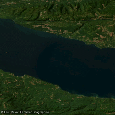
The Strait of Juan de Fuca is a significant and challenging saltwater strait separating Washington State's Olympic Peninsula from Vancouver Island, Canada. It is a major shipping channel with substantial wind exposure and strong, complex currents that can exceed 4 knots, requiring careful tidal planning. Paddlers often plan trips to coincide with slack water or favorable currents, with some routes designed to gain current assist. The strait is known for its steep, bumpy conditions even in modest winds due to a channeling effect, and it can generate significant swell, with waves reported up to 6 feet on open crossings. The south shore features dramatic, tall rock cliffs reaching up to 300 feet, with pocket beaches, sea caves, and arches accessible for exploration in calmer conditions. Key public access points for launching and landing include Freshwater Bay County Park boat ramp, Salt Creek Recreation Area (Crescent Beach), Clallam Bay County Park, Dakwas Park in Neah Bay (requiring a $20 Makah tribal recreation permit), Ediz Hook, and Hollywood Beach in Port Angeles. Some beaches, like a portion of Crescent Bay, are private and require a day-use fee, typically around $8. Landings can involve surf zones, particularly at Salt Creek, which is a popular surfing spot, necessitating surf skills or training. The area is exposed to tanker and motorboat traffic, especially on open crossings like the 12-nautical-mile route from Port Angeles to Race Rocks, which is a significant open-water journey requiring advanced skills and detailed ferry angle calculations. Wildlife sightings can include humpback whales, harbor seals, and diverse seabirds. Water clarity is crystal clear in some coves, revealing sea stars, urchins, and anemones. The strait is suitable for paddling year-round, but conditions are commonly windy, and trips are highly dependent on favorable weather windows. Essential equipment includes a dry suit, VHF radio, GPS, tow rope, and full safety gear, with float bags strongly recommended for hatches. The overall experience is one of a rugged, exposed coastline demanding respect and preparation, offering spectacular cliffside scenery and open-water challenges.
Water access, boat ramps & amenities
Learn how to get on Strait of Juan de Fuca. Uncover great paddling access points, boat ramps, and all the facilities you need for an unforgettable day on the water. Some locations shown may border or include private property. Always check property boundaries and applicable regulations before visiting. PaddleWays's Public & Private Land layer can help you plan your access with confidence.
Paddle smarter with real-time insights
Whether you're en route and conditions shift or you're looking for the best spot based on current flows, we enable you to make informed decisions on the fly.








Find Places to Paddle

Over 400,000 Places to Paddle
Every user gets free access to launch points, boat ramps, and public property parcels.


Tides, wind & water conditions (10 day forecast)
On open water, wind and tide matter as much as the weather. See the best times to paddle Strait of Juan de Fuca and check the marine forecast before you launch.
Loading tide predictions…
Paddling near Strait of Juan de Fuca
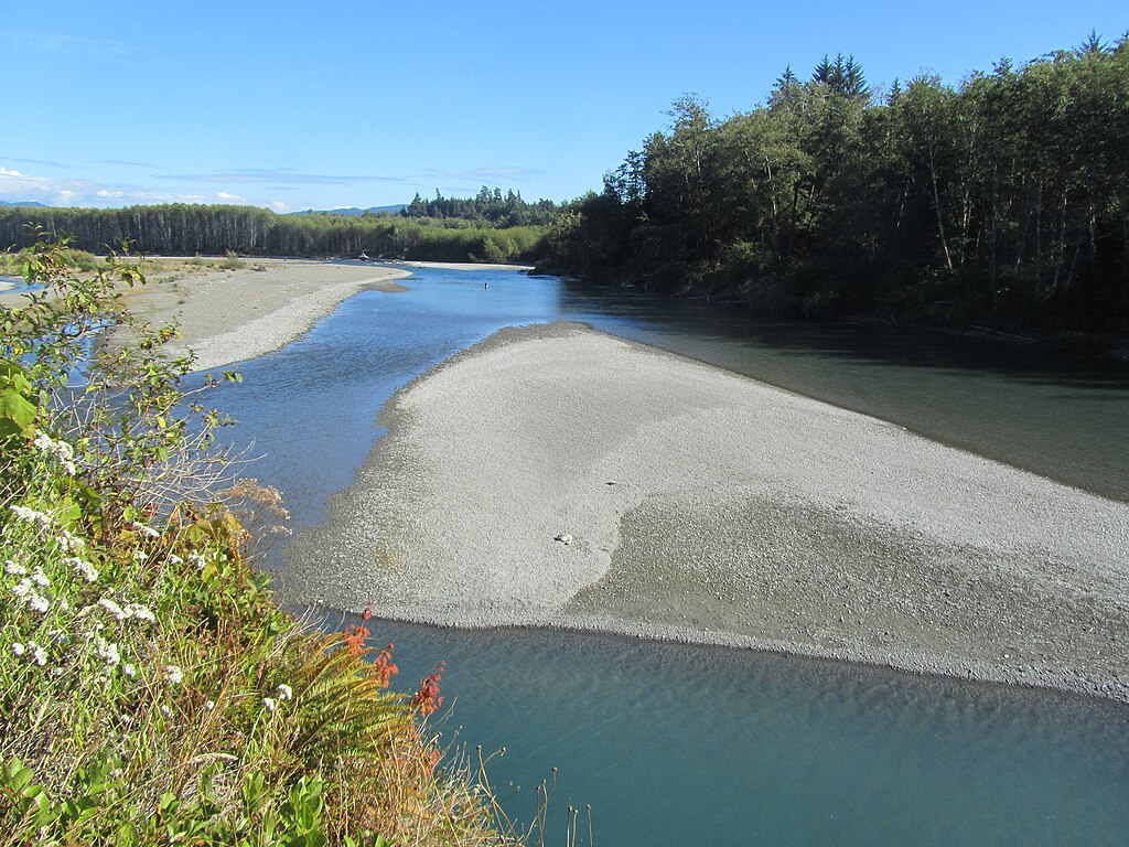
Hoh River
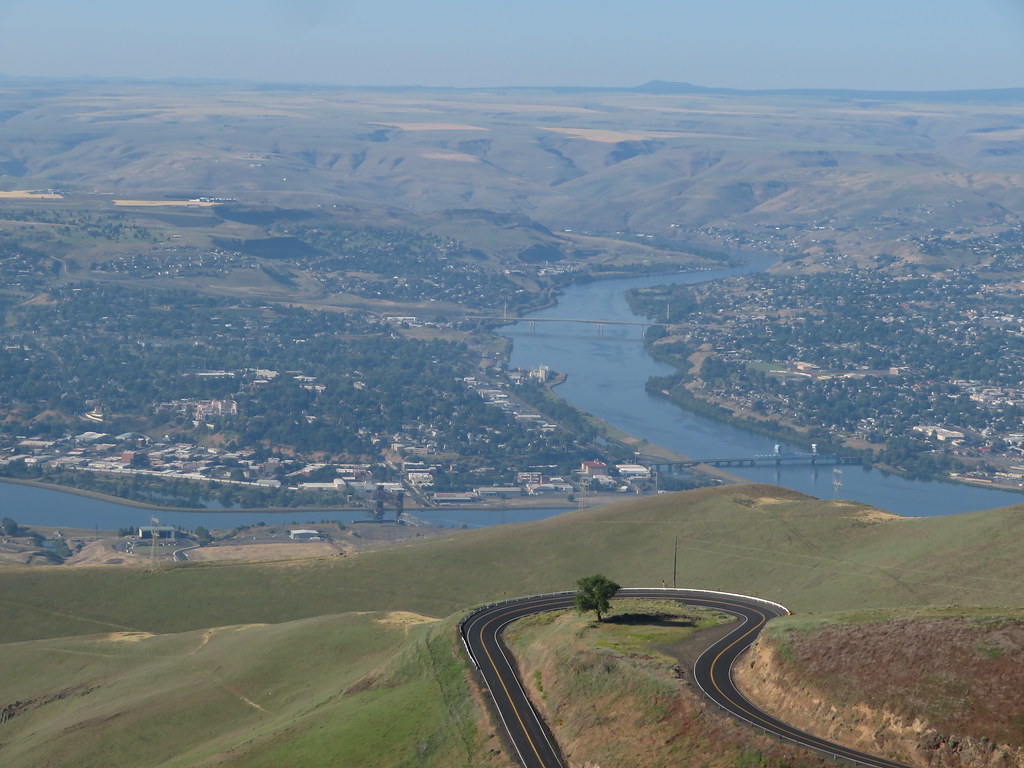
Clearwater River
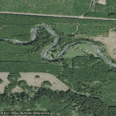
Sol Duc River
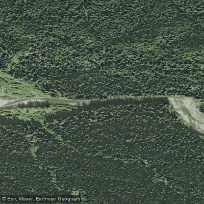
Bogachiel River
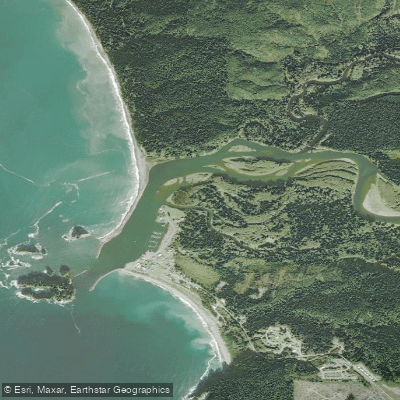
Quillayute River
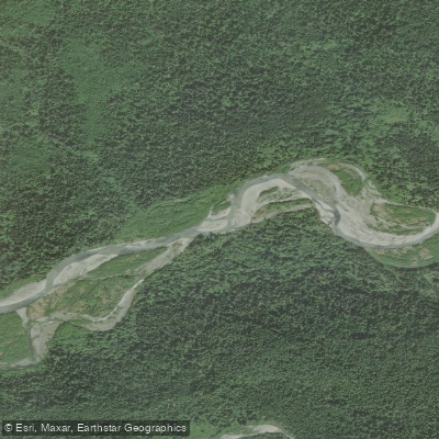
Queets River
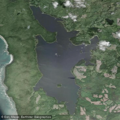
Ozette Lake
Richwine Gravel Bar
Stequaleho Creek
Explore Washington waters
Top paddling waters
Popular Cities
Loading popular cities...
Explore near Strait of Juan de Fuca
Access points
- Pacific Gateway Marina
- Pacific Gateway Marina
- Jenkins Marine
- British Columbia Boat Ramp
- Sooke Public Boat Ramp
- British Columbia Boat Ramp
- Van Riper's Resort Boat Ramp
- Port Renfrew Marina & RV Park
- Port Renfrew Marina & RV Park
- British Columbia Coastal Boat Ramp
- Murdock Beach Access
- Jansen Creek Bridge
- All 73 spots
Nearby waters
More in Washington

Smarter Paddling Starts in the App.
Paddleways gives you everything you need to plan smarter, paddle better, and own every trip from first launch to takeout.