Clearwater River
Clearwater River
- Boat Ramps
- 1
- Access Points
- 4
- Campsites
- 9
The Clearwater River in Jefferson County, Washington, flows westward through the Olympic Peninsula's temperate rainforest before joining the Queets River. This tributary system drains a portion of the western Olympic Mountains, carving through dense old-growth forest characterized by Sitka spruce, western hemlock, and red cedar. The river's watershed lies within one of the wettest regions of the contiguous United States, receiving over 140 inches of annual precipitation that sustains its year-round flow. The Clearwater originates in the rugged interior of the Olympic National Forest and National Park lands, descending through steep, forested terrain before reaching lower-elevation valleys. Its waters maintain remarkable clarity—hence the name—though winter storms and spring snowmelt can temporarily increase turbidity and flow volumes.
The river corridor provides critical habitat for Pacific salmon and steelhead, with spawning runs occurring seasonally throughout its accessible reaches.
Access to the Clearwater River is limited due to its remote location and the surrounding federal land designations. The nearest community providing services is Forks, located to the north, though the river itself flows through largely undeveloped wilderness. Much of the surrounding landscape falls within Olympic National Park or Olympic National Forest boundaries, where regulations protect the pristine character of the watershed.
The river's gradient varies considerably along its course, with upper sections featuring steep drops and technical whitewater, while lower reaches near the confluence with the Queets exhibit more moderate gradients. The surrounding forest creates a canopy environment along much of the river, with occasional openings providing views of the mountainous terrain.
Roosevelt elk, black bears, and numerous bird species inhabit the riparian zones, while the river itself supports populations of cutthroat trout, Dolly Varden, and anadromous fish species.
Historical use of the Clearwater corridor includes indigenous travel routes and resource gathering areas, though specific cultural details remain limited in available documentation. The river's isolation has preserved much of its natural character, with minimal development or human alteration of the channel.
Paddlers considering the Clearwater should be prepared for wilderness conditions, including limited egress options, potential logjams, and rapidly changing water levels. The river's flow is highly responsive to precipitation events, and conditions can shift dramatically within hours during storm systems. Winter and spring typically offer the highest flows, while late summer and early fall see reduced volumes. All visitors must comply with applicable National Park and National Forest regulations governing the area.
Water access, boat ramps & amenities
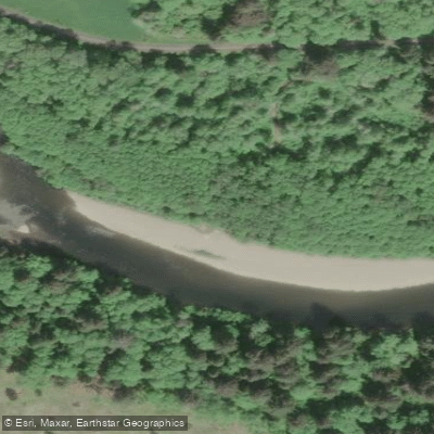
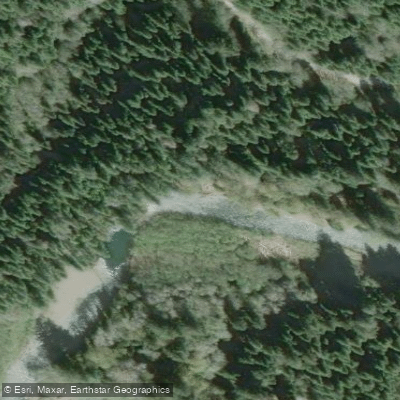
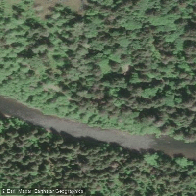
Learn how to get on Clearwater River. Uncover great paddling access points, boat ramps, and all the facilities you need for an unforgettable day on the water. Some locations shown may border or include private property. Always check property boundaries and applicable regulations before visiting. PaddleWays's Public & Private Land layer can help you plan your access with confidence.
Paddle smarter with real-time insights
Whether you're en route and conditions shift or you're looking for the best spot based on current flows, we enable you to make informed decisions on the fly.








Find Places to Paddle

Over 400,000 Places to Paddle
Every user gets free access to launch points, boat ramps, and public property parcels.


Water and weather conditions (10 day forecast)
See the best times to paddle Clearwater River and check the forecast before you go.
No forecast data available.
Paddling near Clearwater River
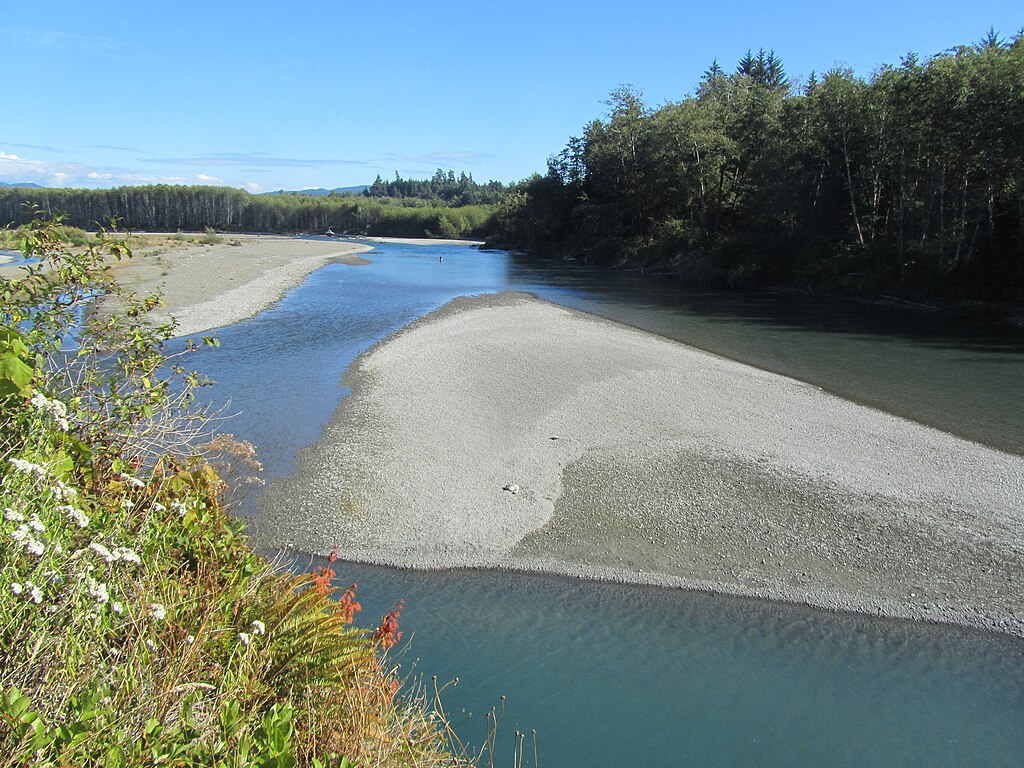
Hoh River
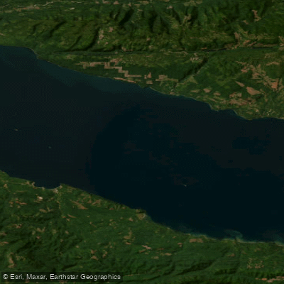
Strait of Juan de Fuca
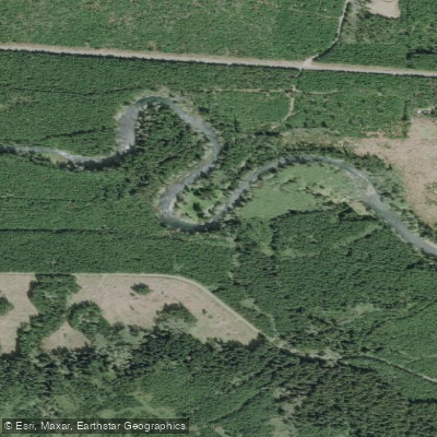
Sol Duc River
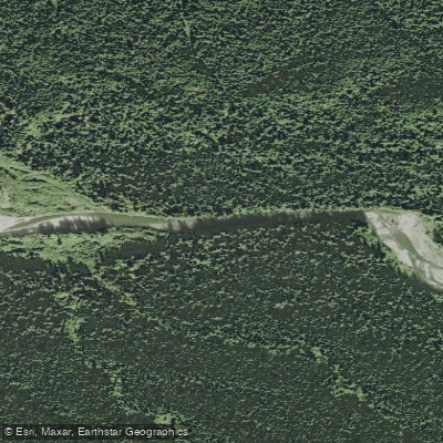
Bogachiel River
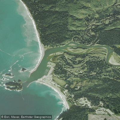
Quillayute River
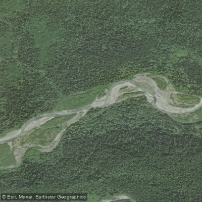
Queets River
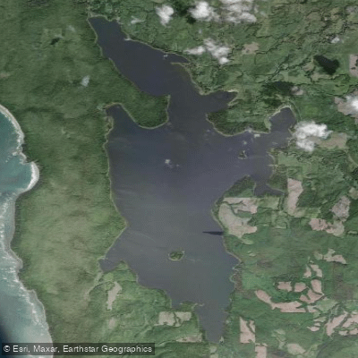
Ozette Lake
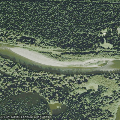
Richwine Gravel Bar
Stequaleho Creek
Explore Washington waters
Top paddling waters
Popular Cities
Loading popular cities...
Explore near Clearwater River
Access points
- Clearwater Road Boat Ramp
- Clearwater Road Access
- Upper Clearwater Campground Access
- Coppermine Bottom Campground access
- Harlow Creek Bridge
- Fisher Creek Bridge
- Upper Clearwater Campground
- Coppermine Bottom Campground
- Coppermine Bottom Campground
- South Beach Campground
- Bob Creek Campground
- Kalaloch Campground
- All 15 spots
Nearby waters
More in Washington

Smarter Paddling Starts in the App.
Paddleways gives you everything you need to plan smarter, paddle better, and own every trip from first launch to takeout.