Quillayute River
- Saltwater
- Tidal river
Quillayute River
- Saltwater
- Tidal river
- Sq. miles
- 0.2
- Boat Ramps
- 1
- Access Points
- 0
- Campsites
- 5
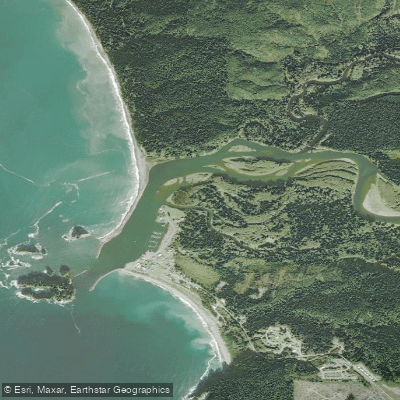
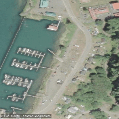
The Quillayute River is a coastal tidal river on the Olympic Peninsula that empties directly into the Pacific Ocean at the village of La Push. This creates a brackish delta area at the river's mouth, which transitions into a low-hanging forest as you paddle upstream. The river is shallow, slow-moving, and calm, offering a feeling of remote wilderness. The primary public access point for paddlers is the Quileute Marina in La Push, which features a boat ramp and parking. Another access point is Quillayute River County Park, located off River Park Road via Mora Road, which provides river frontage, a gravel bar, ample parking, and a vault toilet. The river is beginner-friendly, suitable for kayaks, canoes, and stand-up paddleboards. The shallow depth generally precludes motorboat traffic, contributing to a quiet paddling environment. Paddlers can expect to see a variety of wildlife including otters, bald eagles, herons, ravens, ducks, salmon, flounder, and even small sharks in the brackish estuary. The recommended paddling season spans from spring through fall, specifically March through November. A notable multi-day coastal paddling trip can begin by launching from the Dickey River into the Quillayute, then proceeding south along the Pacific coast, camping on select beaches. For such coastal excursions, a wetsuit or drysuit is required, and advanced skills are necessary. The river flows near Rialto Beach and the Olympic National Park's Mora Campground area.
Water access, boat ramps & amenities
Learn how to get on Quillayute River. Uncover great paddling access points, boat ramps, and all the facilities you need for an unforgettable day on the water. Some locations shown may border or include private property. Always check property boundaries and applicable regulations before visiting. PaddleWays's Public & Private Land layer can help you plan your access with confidence.
Paddle smarter with real-time insights
Whether you're en route and conditions shift or you're looking for the best spot based on current flows, we enable you to make informed decisions on the fly.








Find Places to Paddle

Over 400,000 Places to Paddle
Every user gets free access to launch points, boat ramps, and public property parcels.


Tides, wind & water conditions (10 day forecast)
On open water, wind and tide matter as much as the weather. See the best times to paddle Quillayute River and check the marine forecast before you launch.
Loading tide predictions…
Paddling near Quillayute River
Hoh River
Clearwater River
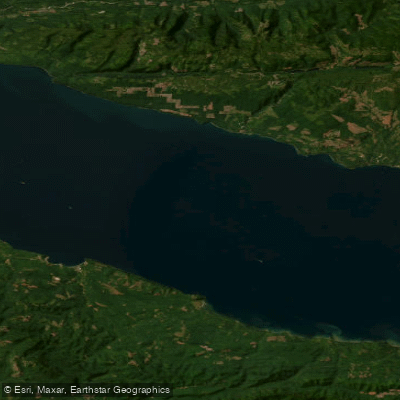
Strait of Juan de Fuca
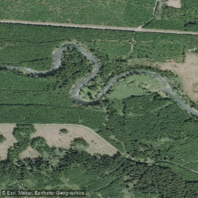
Sol Duc River
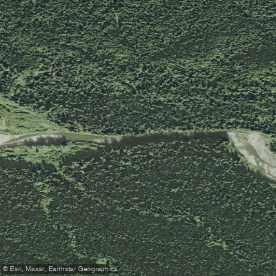
Bogachiel River
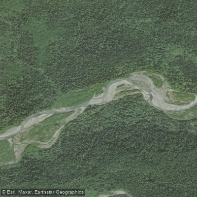
Queets River
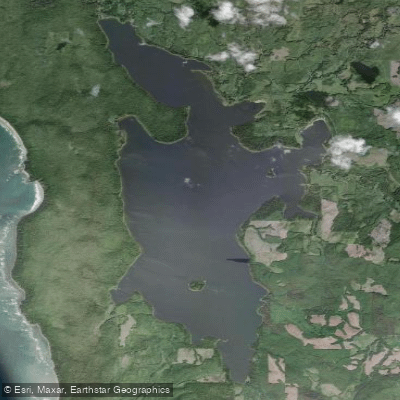
Ozette Lake
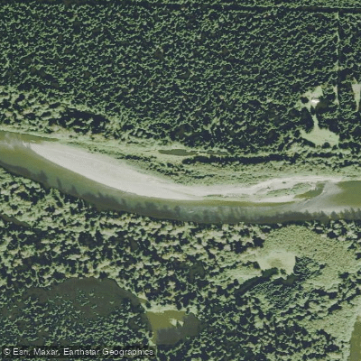
Richwine Gravel Bar
Stequaleho Creek
Explore Washington waters
Top paddling waters
Popular Cities
Loading popular cities...
Explore near Quillayute River
Access points
Nearby waters
More in Washington

Smarter Paddling Starts in the App.
Paddleways gives you everything you need to plan smarter, paddle better, and own every trip from first launch to takeout.