Cedar River
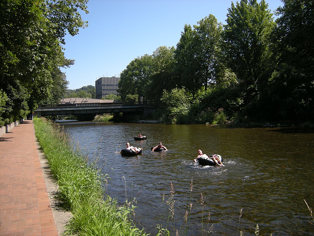
Cedar River
- Boat Ramps
- 9
- Access Points
- 16
- Campsites
- 4
Description for Cedar River in King County, Washington is coming soon.
Water access, boat ramps & amenities
Learn how to get on Cedar River. Uncover great paddling access points, boat ramps, and all the facilities you need for an unforgettable day on the water. Some locations shown may border or include private property. Always check property boundaries and applicable regulations before visiting. PaddleWays's Public & Private Land layer can help you plan your access with confidence.
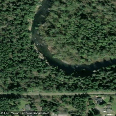
Big Bend Natural Area Fishing Access Site
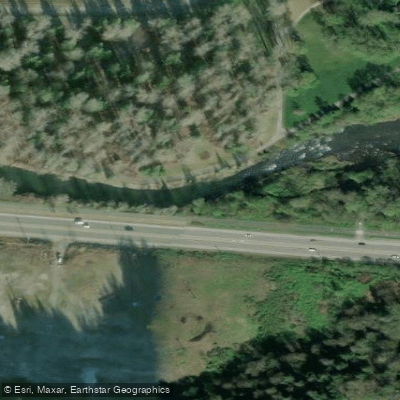
Cedar Grove Natural Area Access
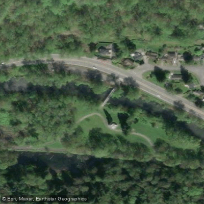
Riverview Park Fishing Access Site
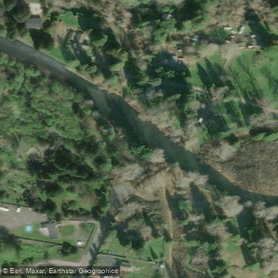
Ron Regis Park Fishing Access Site
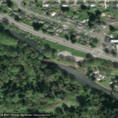
Maplewood Roadside Park Fishing Access Site
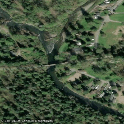
Upper Dorre Don Way SE Fishing Access Site
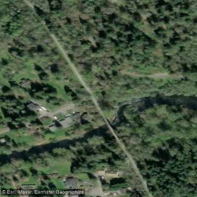
SE 28th Street Fishing Access Site
Paddle smarter with real-time insights
Whether you're en route and conditions shift or you're looking for the best spot based on current flows, we enable you to make informed decisions on the fly.








Find Places to Paddle

Over 400,000 Places to Paddle
Every user gets free access to launch points, boat ramps, and public property parcels.


Water and weather conditions (10 day forecast)
See the best times to paddle Cedar River and check the forecast before you go.
CEDAR RIVER AT CEDAR FALLS, WA
All Flow Stations
Paddling near Cedar River

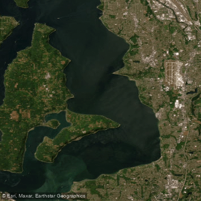
Lake Washington
East Passage
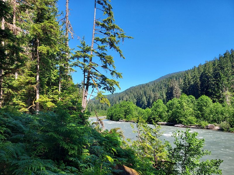
Snoqualmie River
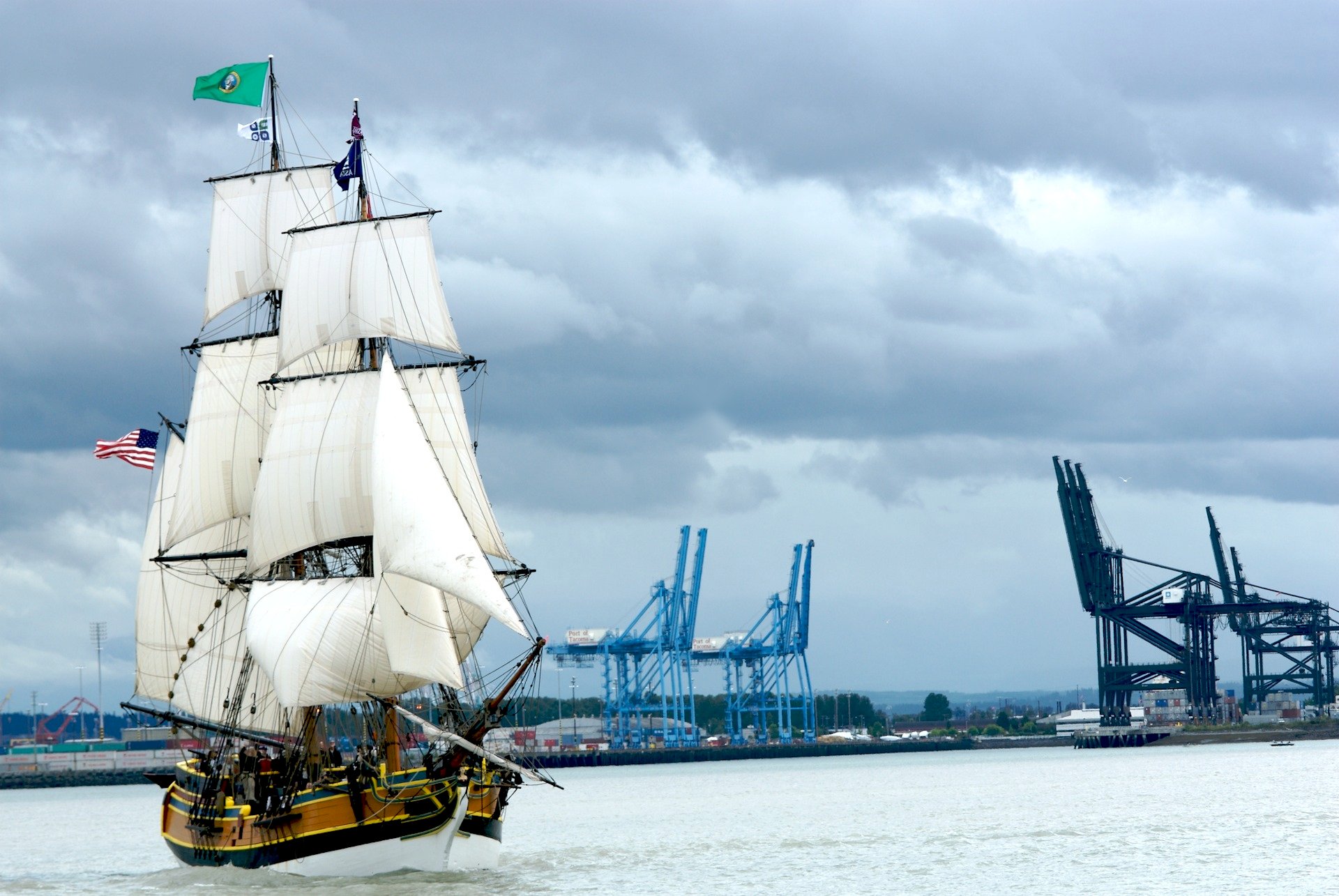
Commencement Bay
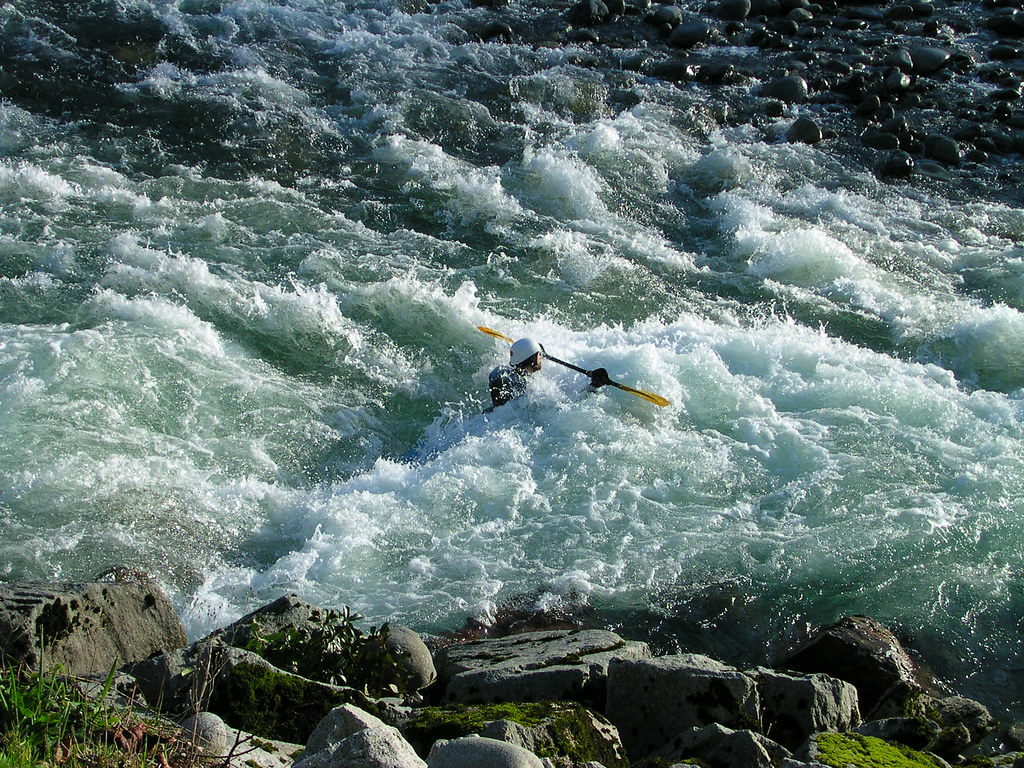
Skykomish River
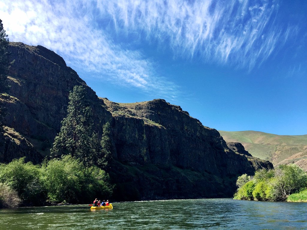
Yakima River
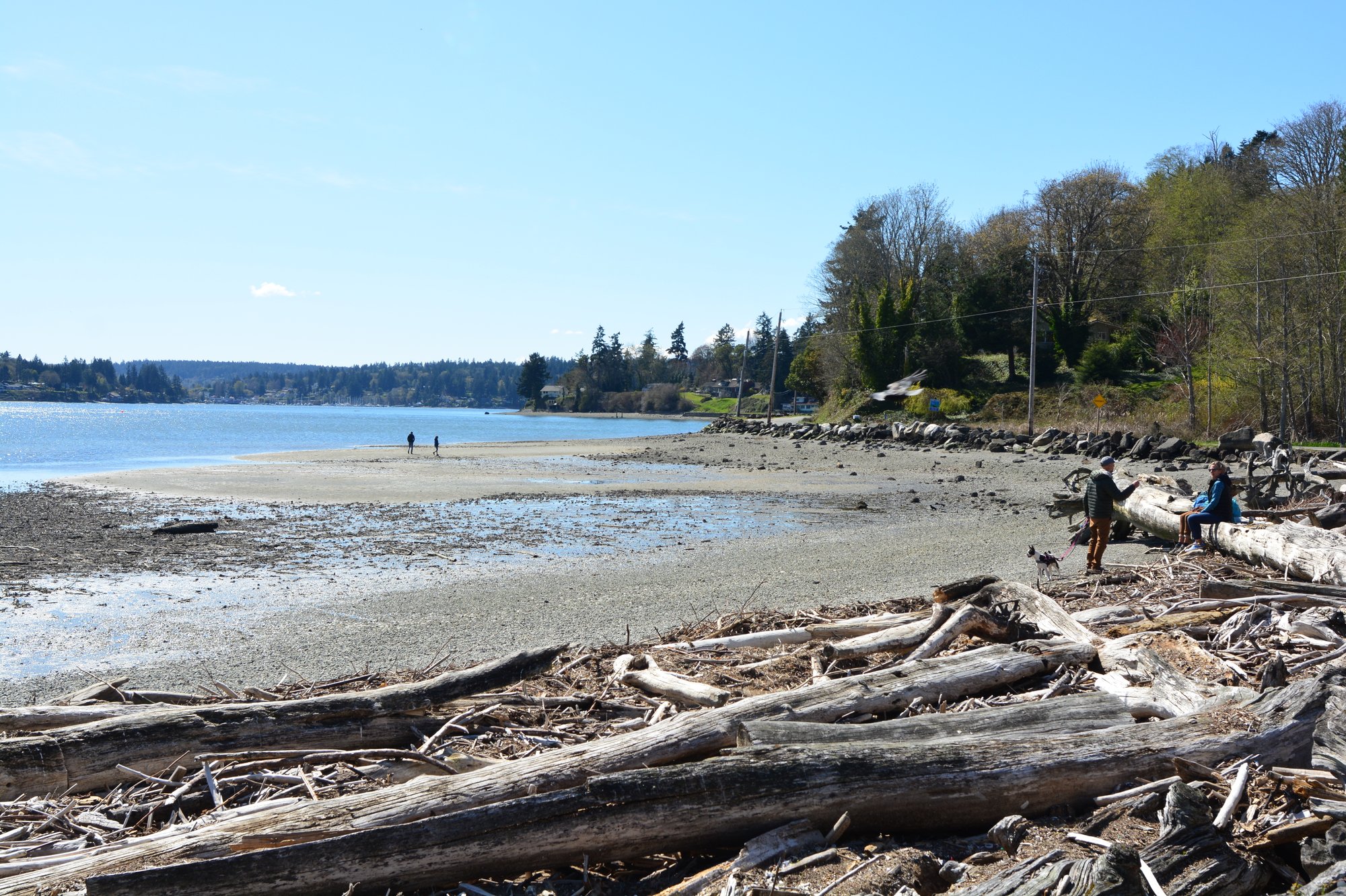
Quartermaster Harbor
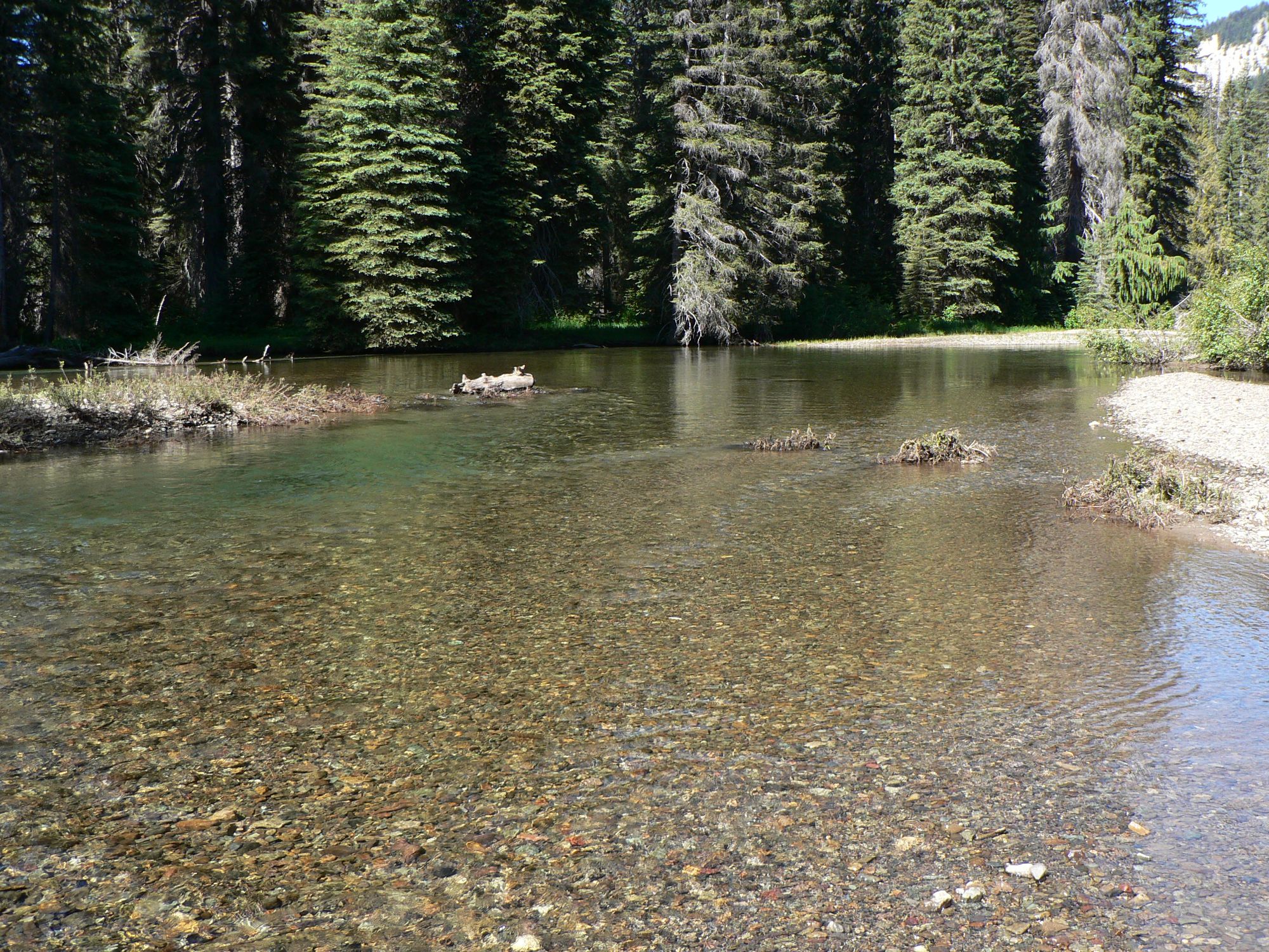
American River
Explore Washington waters
Top paddling waters
Popular Cities
Loading popular cities...
Explore near Cedar River
Access points
- Bucks Curve Boat Ramp
- Cedar River Road Natural Area Boat Ramp
- Cedar Mountain Bridge Boat Ramp
- Landsburg Trailhead Park Boat Ramp
- Fred V Habenicht Park Boat Ramp
- Cavanaugh Pond Natural Area Boat Ramp
- Cedar River Boathouse Boat Ramp
- 233rd Place South East Boat Ramp
- Cedar River Trail Park Boat Ramp
- Big Bend Natural Area Fishing Access Site
- Cedar Grove Natural Area Access
- Riverview Park Fishing Access Site
- All 81 spots
Nearby waters
More in Washington

Smarter Paddling Starts in the App.
Paddleways gives you everything you need to plan smarter, paddle better, and own every trip from first launch to takeout.