Snoqualmie River
Snoqualmie River
- Boat Ramps
- 8
- Access Points
- 16
- Campsites
- 2
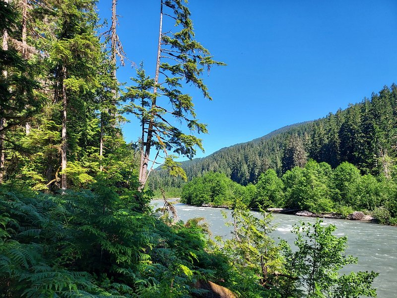
The Snoqualmie River, located in Washington state less than an hour's drive from Seattle, is a waterway that offers a wide range of paddling opportunities for all skill levels. The river is composed of three main forks - North, Middle, and South - which converge to form the main stem, flowing through the picturesque Snoqualmie Valley before joining the Skykomish River to become the Snohomish River.
The river system provides an excellent variety of whitewater experiences, from calm flatwater sections suitable for beginners to challenging Class V+ rapids that test even the most skilled paddlers. The Middle Fork Snoqualmie is particularly popular, offering several notable sections. The "Upper Middle" run from Taylor River to Concrete Bridge is a scenic 10.2-mile Class II stretch, perfect for intermediate paddlers and those looking to enjoy the beauty of the Northern Cascade Range.
For more advanced paddlers, the "Middle-Middle" section from Concrete Bridge to Tanner offers 7 miles of continuous Class III-IV rapids. The North Fork Snoqualmie presents some of the most challenging whitewater in the state, with the infamous Ernie's Gorge (also known as Ernie's Canyon) providing a 6.5-mile Class V+ run from Spur 10 Bridge to 428th St. Bridge. This section is suitable only for expert paddlers and requires careful consideration of water levels and extensive experience.
For those seeking a more relaxed experience, the main Snoqualmie River offers a popular 3.3-mile flatwater float from Plum Boat Launch to Fall City Park. This stretch is a beloved summer ritual for Seattle area residents, providing a refreshing journey through the picturesque landscape.
The best time to paddle the Snoqualmie River system varies depending on the section and desired difficulty. Generally, the river is runnable year-round, with higher water levels in spring due to snowmelt and lower levels in late summer and early fall. Winter rains can also provide good paddling conditions, but caution should be exercised due to cold water temperatures.
The river corridor is home to a diverse ecosystem, including old-growth forests, alpine meadows, and a variety of wildlife. Paddlers may spot bear, elk, and numerous bird species. The surrounding landscape is dominated by the stunning peaks of the Cascade Range, offering breathtaking views throughout much of the river system.
Several notable landmarks punctuate the Snoqualmie River's course, including the iconic 268-foot Snoqualmie Falls between the upper plateau and the lower valley. The river also passes through or near several state parks, such as Olallie State Park, which offers additional recreational opportunities like hiking and rock climbing.
Access to the river is generally good, with numerous put-in and take-out points along its course. The towns of North Bend, Snoqualmie, and Fall City serve as primary access points and offer amenities for paddlers. It's important to note that some sections, particularly on private land, may require special permits or fees for access.
The Snoqualmie River holds significant cultural importance to the indigenous Snoqualmie people and played a crucial role in the early settlement and development of the region. Today, it continues to be an important resource for recreation, wildlife habitat, and local communities.
Safety is paramount when paddling the Snoqualmie River. All paddlers should wear appropriate safety gear, including life jackets, and be aware of their skill level in relation to the section they're attempting. It's advisable to check current water levels and weather conditions before embarking on any trip. Some sections, particularly the more challenging ones, may require additional safety precautions and should only be attempted by experienced paddlers.
While most trips on the Snoqualmie are day runs, multi-day adventures are possible by combining different sections or incorporating nearby rivers. For instance, experienced paddlers might link the challenging upper sections of the North or Middle Forks with easier lower sections for an extended trip.
The Snoqualmie River system truly offers something for every paddler, from thrilling whitewater to serene floats, all set against the backdrop of Washington's stunning natural beauty. Its proximity to Seattle makes it an accessible and popular destination for both locals and visitors seeking to experience the diverse paddling opportunities of the Pacific Northwest.
Water access, boat ramps & amenities
Learn how to get on Snoqualmie River. Uncover great paddling access points, boat ramps, and all the facilities you need for an unforgettable day on the water. Some locations shown may border or include private property. Always check property boundaries and applicable regulations before visiting. PaddleWays's Public & Private Land layer can help you plan your access with confidence.
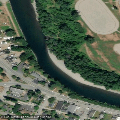
Fall City Park Access
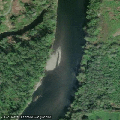
Tolt - MacDonald Park Fishing Access Site
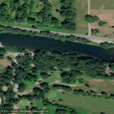
Raging River Access
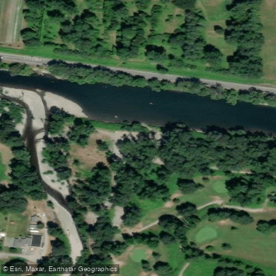
Raging River Access
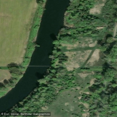
McCormick Park Fishing Access Site
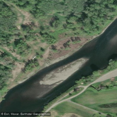
Chinook Bend Natural Area Fishing Access Site
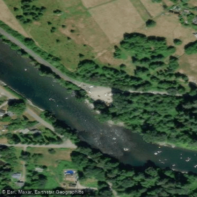
Plum Access
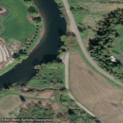
Richter Access
Paddle smarter with real-time insights
Whether you're en route and conditions shift or you're looking for the best spot based on current flows, we enable you to make informed decisions on the fly.








Find Places to Paddle

Over 400,000 Places to Paddle
Every user gets free access to launch points, boat ramps, and public property parcels.


Water and weather conditions (10 day forecast)
See the best times to paddle Snoqualmie River and check the forecast before you go.
SNOQUALMIE RIVER NEAR SNOQUALMIE, WA
All Flow Stations
Paddling near Snoqualmie River

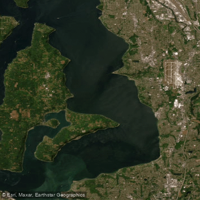
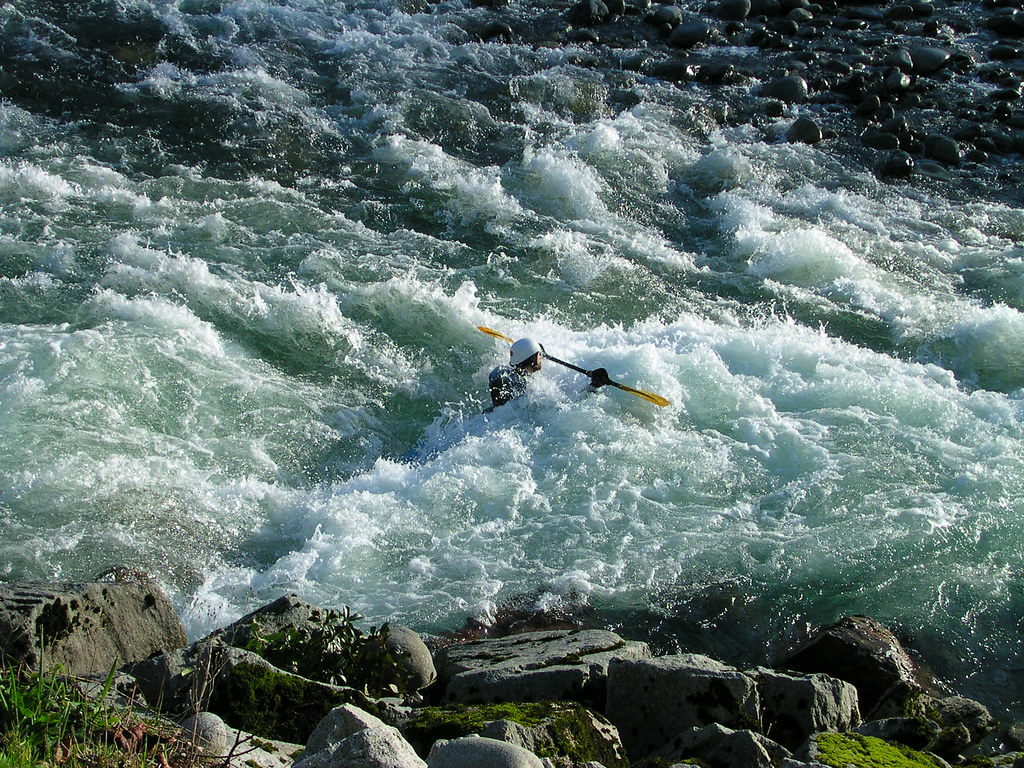
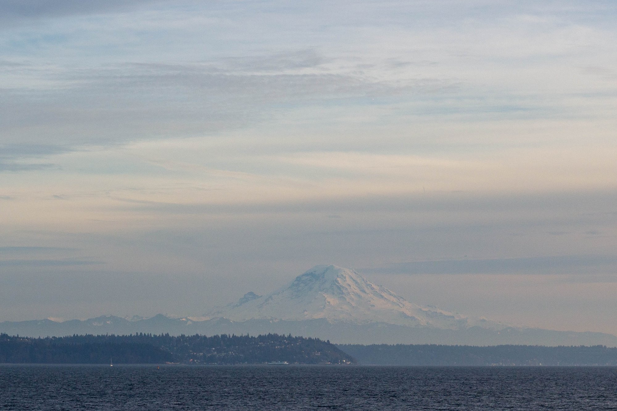
Explore Washington waters
Top paddling waters
Popular Cities
Loading popular cities...
Explore near Snoqualmie River
Access points
Nearby waters
More in Washington

Smarter Paddling Starts in the App.
Paddleways gives you everything you need to plan smarter, paddle better, and own every trip from first launch to takeout.