East Passage
- Saltwater
- Pass
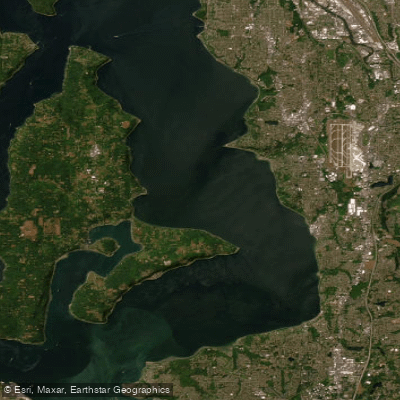
East Passage
- Saltwater
- Pass
- Sq. miles
- 52
- Boat Ramps
- 2
- Access Points
- 1
- Campsites
- 9
East Passage is the primary shipping channel of southern Puget Sound, Washington, offering a range of sea kayaking experiences from protected shoreline paddles to significant open-water crossings. The eastern shoreline provides numerous public launch points including Browns Point Lighthouse Park, Dash Point State Park, Redondo Beach, Saltwater State Park, Des Moines Beach Park, Marine View Park in Normandy Park, and Seahurst Park in Burien. These allow for moderate day trips along the developed coast with views of the Olympic Mountains. For more challenging and exposed paddling, crossings can be made from the mainland to Vashon or Maury Island, with distances of at least 2 nautical miles. The area has a large fetch to the north and south, making it susceptible to wind waves, and paddlers must be prepared for cold water year-round, requiring immersion gear such as a wetsuit or drysuit. The passage is a major shipping corridor; kayakers planning to cross the main channel must carry a marine VHF radio to coordinate with Vessel Traffic Service (VTS) on Channel 14. Currents in the area are generally moderate, with examples of ebb currents around 0.6 knots, but trip timing should be planned with tide and current charts. Notable destinations include Point Robinson on Maury Island, which features tide pools and scenic views, and the historic community of Burton on Quartermaster Harbor. The water body is suitable for paddling year-round, but conditions are highly weather-dependent. Parking permits may be required at some launch sites, and fees are in effect at locations like the Southworth Ferry terminal parking lot.
Water access, boat ramps & amenities
Learn how to get on East Passage. Uncover great paddling access points, boat ramps, and all the facilities you need for an unforgettable day on the water. Some locations shown may border or include private property. Always check property boundaries and applicable regulations before visiting. PaddleWays's Public & Private Land layer can help you plan your access with confidence.
Paddle smarter with real-time insights
Whether you're en route and conditions shift or you're looking for the best spot based on current flows, we enable you to make informed decisions on the fly.








Find Places to Paddle

Over 400,000 Places to Paddle
Every user gets free access to launch points, boat ramps, and public property parcels.


Tides, wind & water conditions (10 day forecast)
On open water, wind and tide matter as much as the weather. See the best times to paddle East Passage and check the marine forecast before you launch.
Loading tide predictions…
Paddling near East Passage

Lake Washington
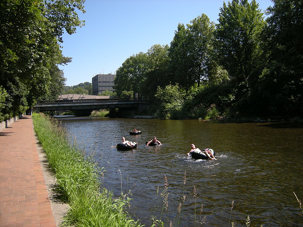
Cedar River
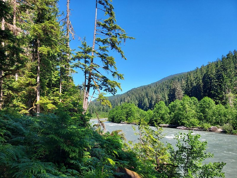
Snoqualmie River
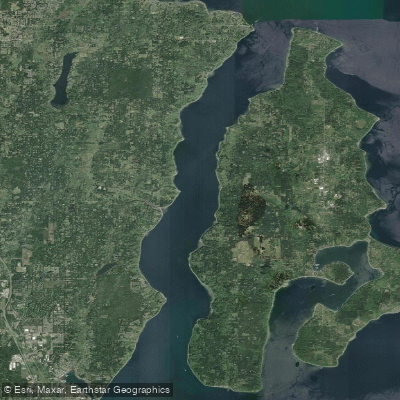
Colvos Passage
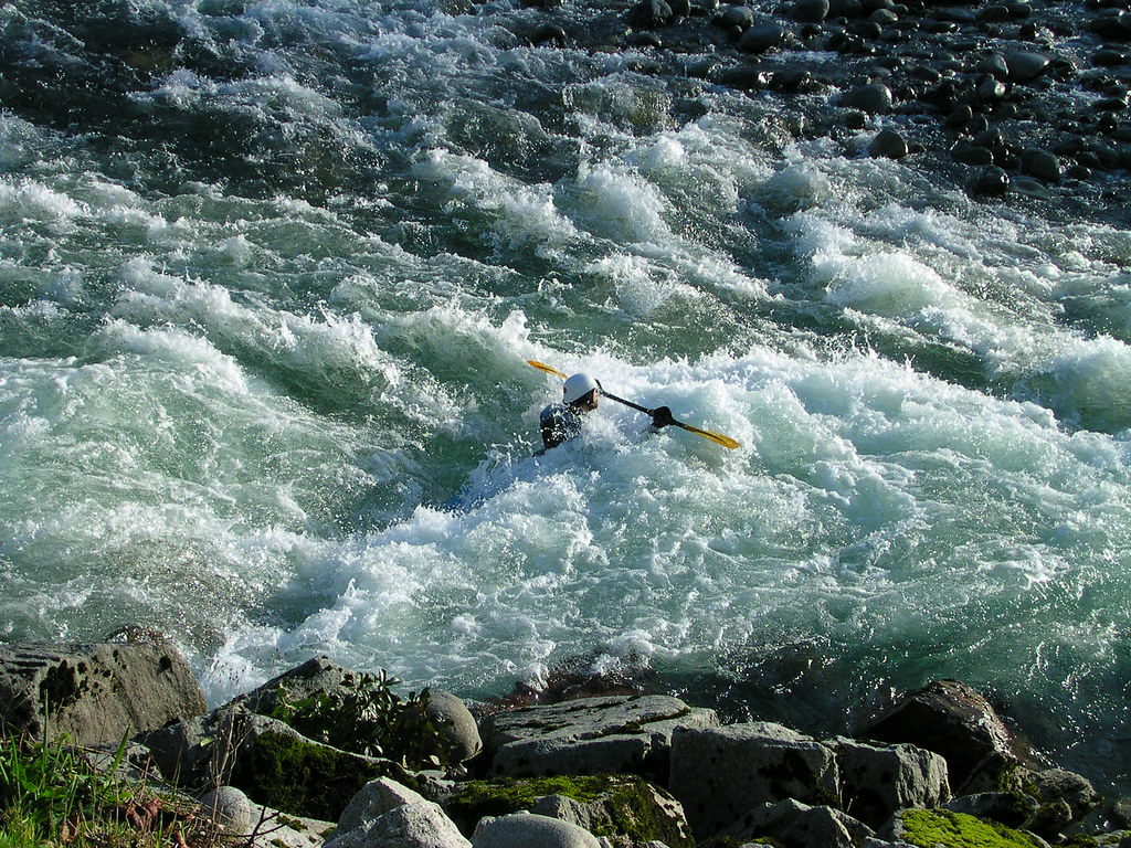
Skykomish River
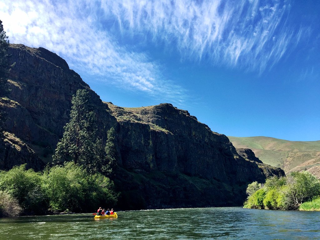
Yakima River
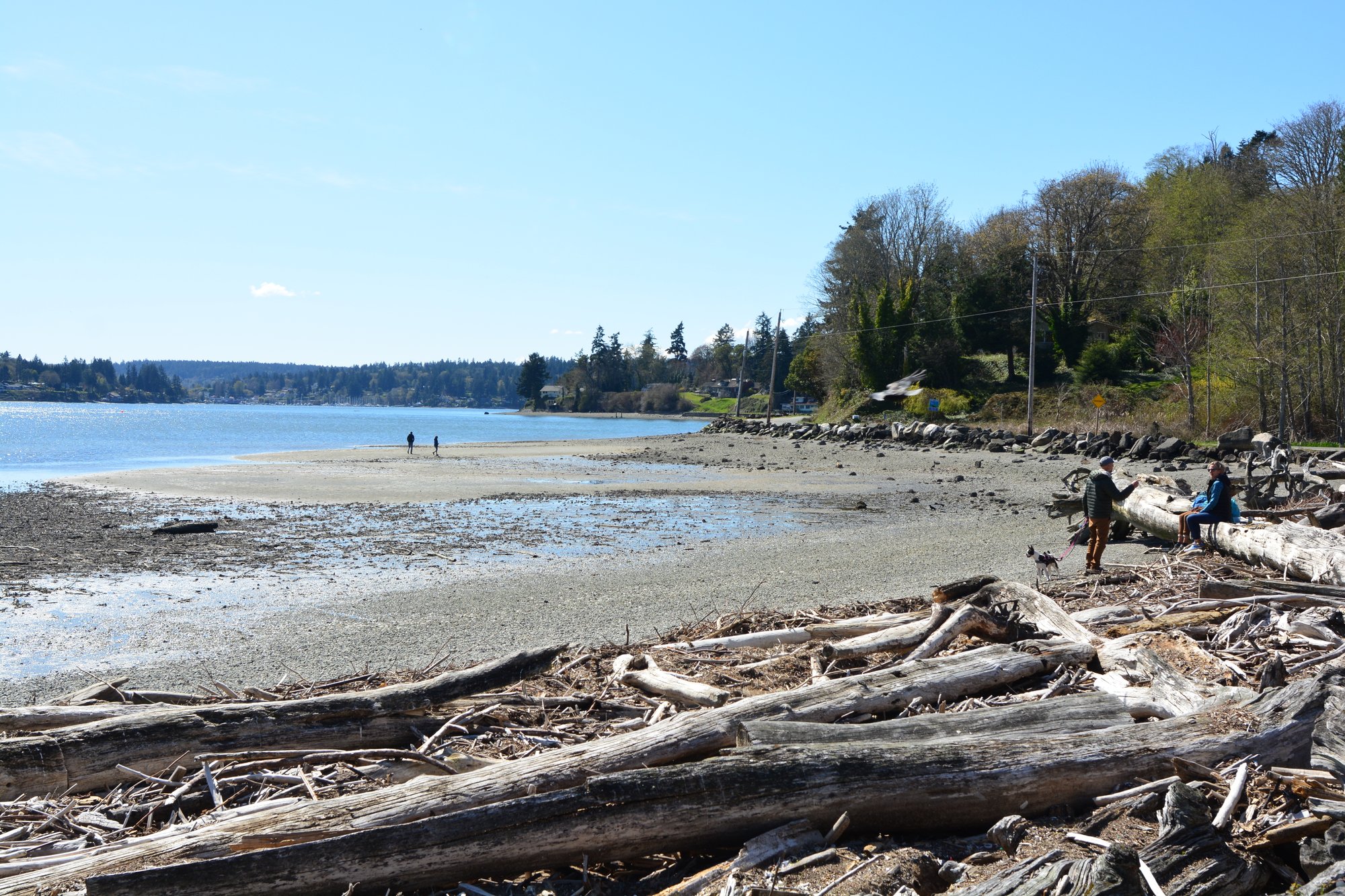
Quartermaster Harbor
Puyallup River
Explore Washington waters
Top paddling waters
Popular Cities
Loading popular cities...
Explore near East Passage
Access points
Nearby waters
More in Washington

Smarter Paddling Starts in the App.
Paddleways gives you everything you need to plan smarter, paddle better, and own every trip from first launch to takeout.