Skykomish River
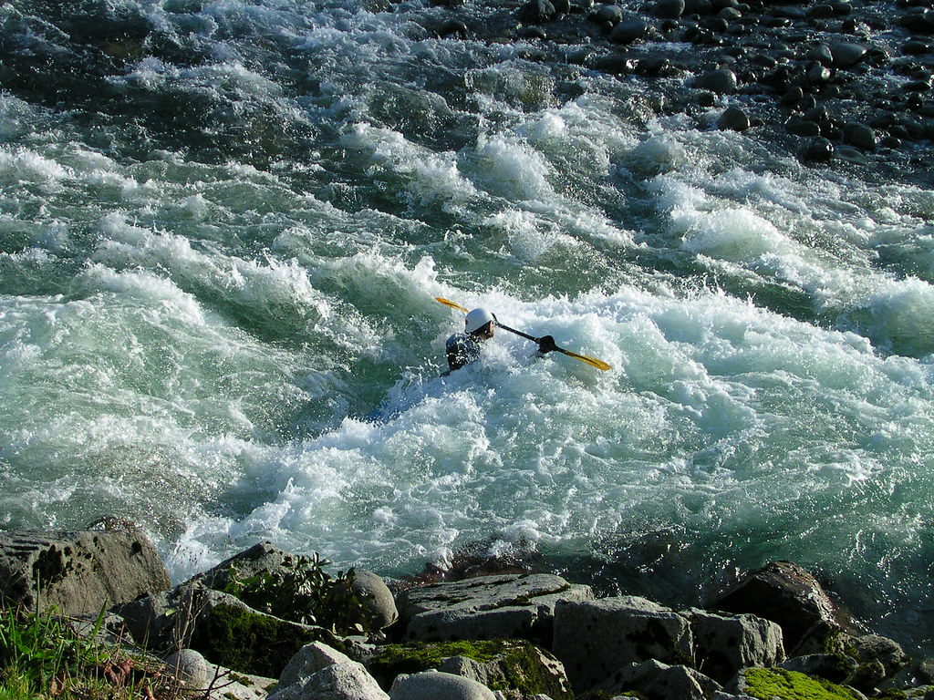
Skykomish River
- Boat Ramps
- 6
- Access Points
- 11
- Campsites
- 12
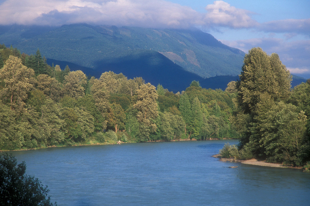
The Skykomish River, affectionately known as "The Sky" by locals, is a premier whitewater destination in Washington state, offering paddlers a thrilling journey through the scenic North Cascades. This 29-mile river, formed by the confluence of its North and South Forks near Index, flows through Snohomish County before joining the Snoqualmie River to form the Snohomish River.
The Skykomish boasts a diverse range of paddling opportunities, from calm Class I-II floats to heart-pounding Class IV-V rapids. The river's most popular sections include the family-friendly Big Eddy to Monroe stretch, the intermediate Railroad Bridge to Big Eddy run, and the infamous Boulder Drop section near Index, which challenges even expert paddlers with its Class IV-V rapids.
For beginners and families, the Big Eddy to Monroe section offers a pleasant 16.2-mile journey through Class I-II waters, perfect for a relaxed day on the river. Intermediate paddlers often cut their teeth on the Railroad Bridge to Big Eddy run, a 2.5-mile stretch featuring Class II rapids with one Class III rapid at the put-in. Advanced paddlers flock to the Boulder Drop section, a 3-mile stretch culminating in the namesake rapid ��� a technical Class IV challenge that's considered one of the most difficult commercially rafted sections in Washington.
Just downstream, the Index to Money Creek run offers a mix of Class III-IV rapids, including the renowned Boulder Drop. The Skykomish's paddling season typically runs from late October through early July, with peak flows during spring snowmelt. However, skilled paddlers can often find year-round opportunities, especially on the lower sections. It's crucial to check current flow rates, as the river can experience significant fluctuations, particularly after rain events.
As you navigate the Skykomish, you'll be treated to breathtaking views of the surrounding Cascade Mountains, lush old-growth forests, and diverse wildlife. Keep an eye out for bald eagles soaring overhead, and you might spot deer or even black bears along the shoreline. Notable landmarks include the impressive Sunset Falls on the South Fork, a 104-foot waterfall that marks the end of three major falls on that branch.
The river also passes through the scenic Mount Baker-Snoqualmie National Forest, offering numerous opportunities for camping and hiking. Access to the river is relatively easy, with several put-in and take-out points near towns like Index, Gold Bar, Sultan, and Monroe. These communities serve as gateways to the river, offering amenities for paddlers and a glimpse into the area's rich logging and railroad history.
Safety is paramount on the Skykomish. All paddlers should wear appropriate safety gear, including helmets and life jackets. It's advisable to scout rapids, especially at higher water levels, and be aware of potential hazards like strainers and undercut rocks. Paddlers should also be prepared for rapid weather changes typical of the Cascades.
For those seeking a multi-day adventure, combining runs on the North and South Forks with the main stem can create an epic journey through some of Washington's most beautiful wilderness. The nearby Wild Sky Wilderness offers additional opportunities for exploration and camping.
The Skykomish River isn't just a paddler's paradise; it's a vital part of the region's ecosystem and heritage. Its waters support several species of salmon and trout, making it an important resource for wildlife and local communities. The river's health and preservation are ongoing concerns, with efforts underway to protect it through Wild and Scenic River designation.
Whether you're seeking a peaceful float or an adrenaline-pumping whitewater experience, the Skykomish River offers something for every paddler, set against the backdrop of Washington's stunning natural beauty.
Water access, boat ramps & amenities
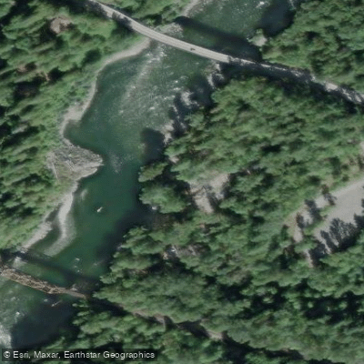
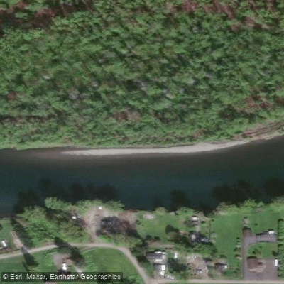
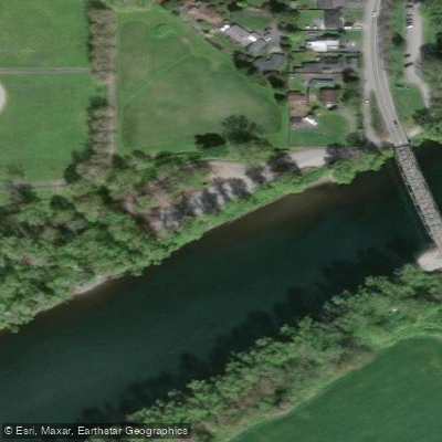
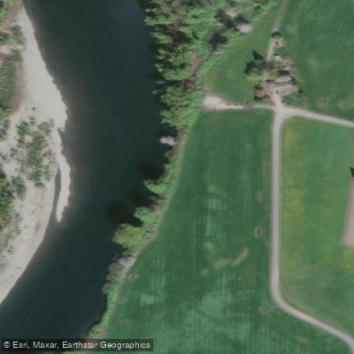
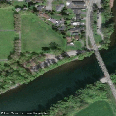
Learn how to get on Skykomish River. Uncover great paddling access points, boat ramps, and all the facilities you need for an unforgettable day on the water. Some locations shown may border or include private property. Always check property boundaries and applicable regulations before visiting. PaddleWays's Public & Private Land layer can help you plan your access with confidence.
Paddle smarter with real-time insights
Whether you're en route and conditions shift or you're looking for the best spot based on current flows, we enable you to make informed decisions on the fly.








Find Places to Paddle

Over 400,000 Places to Paddle
Every user gets free access to launch points, boat ramps, and public property parcels.


Water and weather conditions (10 day forecast)
See the best times to paddle Skykomish River and check the forecast before you go.
SKYKOMISH RIVER NEAR GOLD BAR, WA
Paddling near Skykomish River
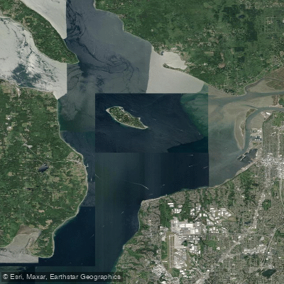
Possession Sound
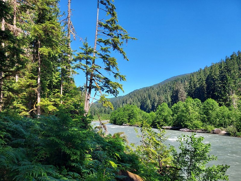
Snoqualmie River

Lake Washington
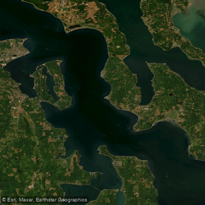
Admiralty Inlet
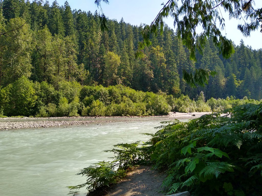
Sauk River
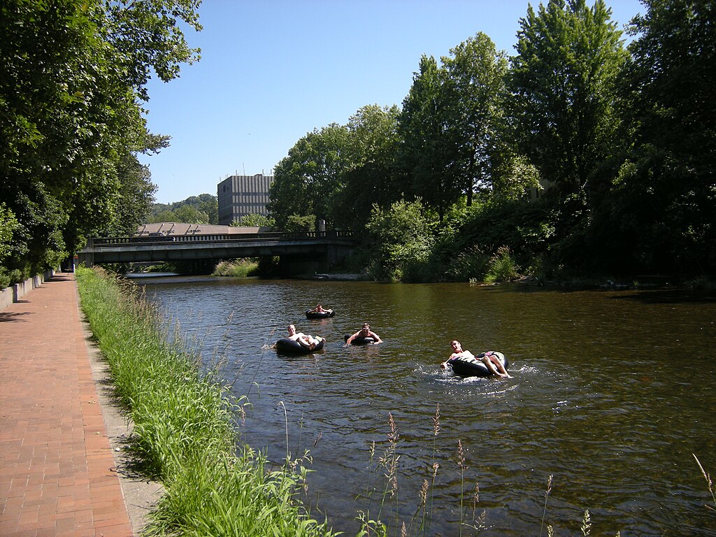
Cedar River
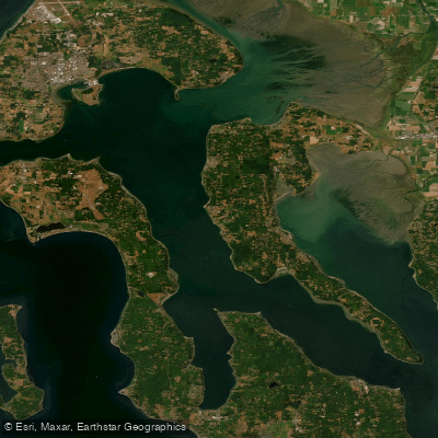
Saratoga Passage
Skagit River
Explore Washington waters
Top paddling waters
Popular Cities
Loading popular cities...
Explore near Skykomish River
Access points
Nearby waters
More in Washington

Smarter Paddling Starts in the App.
Paddleways gives you everything you need to plan smarter, paddle better, and own every trip from first launch to takeout.