Chehalis River
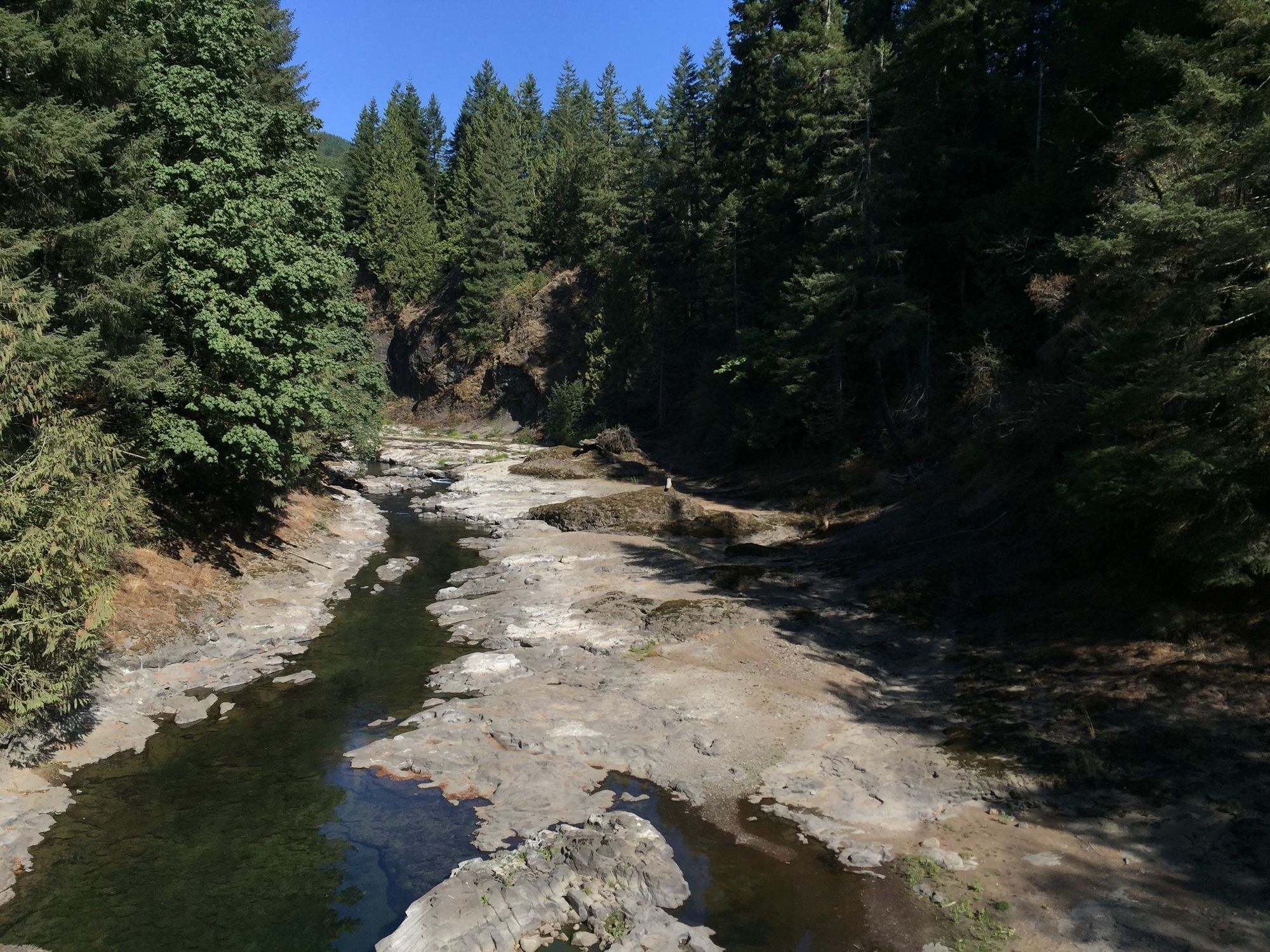
Chehalis River
- Boat Ramps
- 10
- Access Points
- 20
- Campsites
- 8
The Chehalis River, located in southwestern Washington state, is a diverse waterway that offers a range of paddling experiences for enthusiasts of all skill levels. Originating in Lewis County, the river flows through a picturesque landscape, winding its way through forested areas and agricultural lands before eventually emptying into Grays Harbor, an estuary of the Pacific Ocean.
The river presents several distinct sections for paddlers, each with its own character and challenges. The upper reaches, particularly the West Fork to Pe Ell section, offer exciting Class III-IV whitewater over a 11.8-mile stretch. This run is popular among experienced kayakers and rafters, featuring technical rapids and stunning scenery.
As the river continues downstream, it transitions to more moderate Class II waters, such as the 6-mile Pe Ell to Doty section and the 3.2-mile Rainbow Falls to Meeskill stretch, which are ideal for intermediate paddlers and scenic floats.
For those seeking a gentler experience, the lower Chehalis River, particularly around the Chehalis River Surge Plain Natural Area Preserve, offers excellent flatwater paddling opportunities. The Blue Slough/Preachers Slough Water Trail in this area provides a unique ecosystem to explore, with its Sitka spruce-dominated wetlands and intricate network of sloughs.
The Chehalis River's difficulty ranges from flatwater to Class IV rapids, making it suitable for a wide range of skill levels. Beginners and families can enjoy the calm lower sections, while advanced paddlers can test their skills on the more challenging upper reaches.
Seasonal considerations play a significant role in planning a Chehalis River trip. Spring typically offers the best water levels for whitewater sections, while the lower river can be paddled year-round. However, winter paddlers should be cautious of potential flooding, and it's always wise to check current water levels and weather conditions before embarking on a trip.
The river corridor is home to diverse wildlife, including ospreys, bald eagles, and various fish species. The Chehalis River Basin is an important habitat for salmon and steelhead, making it a popular destination for anglers as well as paddlers.
Notable landmarks along the river include Rainbow Falls State Park, which offers a scenic stop and camping opportunities. The town of Pe Ell serves as a common put-in or take-out point for several sections, while Centralia and Chehalis are larger nearby towns that can serve as bases for multi-day trips.
Historically, the Chehalis River has played a crucial role in the region's development, supporting Native American communities, early settlers, and the logging industry. Today, it continues to be an important resource for recreation, wildlife, and local communities.
Safety is paramount when paddling the Chehalis River. All boaters should wear appropriate personal flotation devices and be aware of potential hazards such as strainers and changing water levels. The upper sections require solid whitewater skills and proper equipment.
For those interested in multi-day adventures, combining different sections of the river can create longer trips. The variety of difficulty levels allows paddlers to tailor their journey to their skills and preferences. Local outfitters and guide services are available for those seeking additional support or equipment rentals.
The Chehalis River offers a microcosm of Washington's paddling opportunities, from thrilling whitewater to serene flatwater exploration. Its accessibility, diverse ecosystems, and range of paddling options make it a valuable resource for outdoor enthusiasts in the Pacific Northwest.
Water access, boat ramps & amenities
Learn how to get on Chehalis River. Uncover great paddling access points, boat ramps, and all the facilities you need for an unforgettable day on the water. Some locations shown may border or include private property. Always check property boundaries and applicable regulations before visiting. PaddleWays's Public & Private Land layer can help you plan your access with confidence.
Lusk Road Access
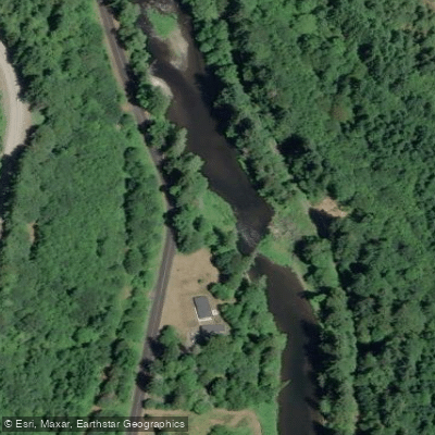
Meeskill Access
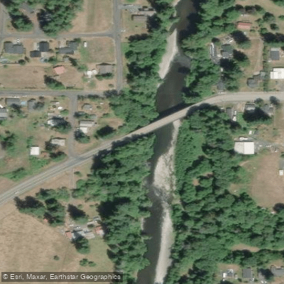
Pe Ell Access
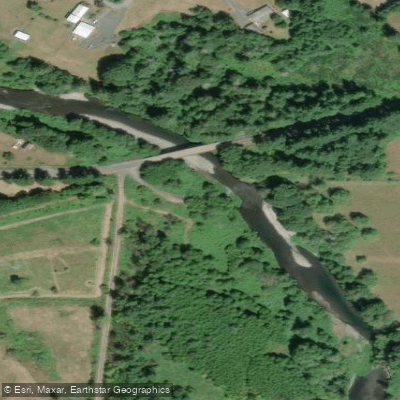
Doty Access
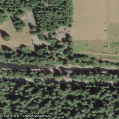
Rainbow Falls State Park Access
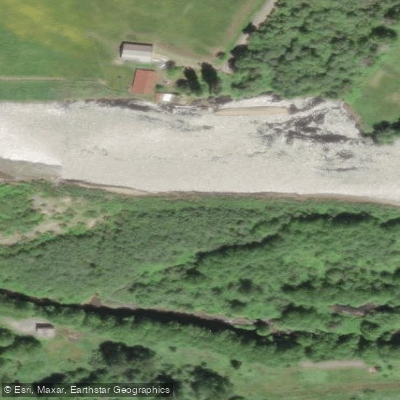
Moon Slough Access
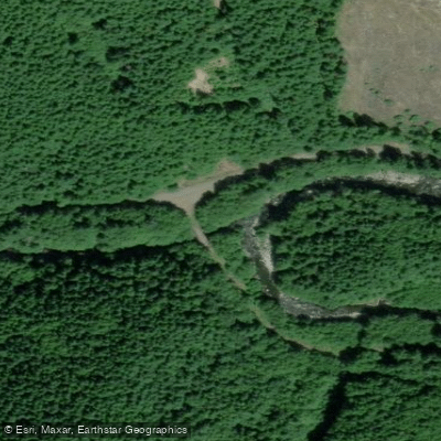
West Fork of Chehalis River Access
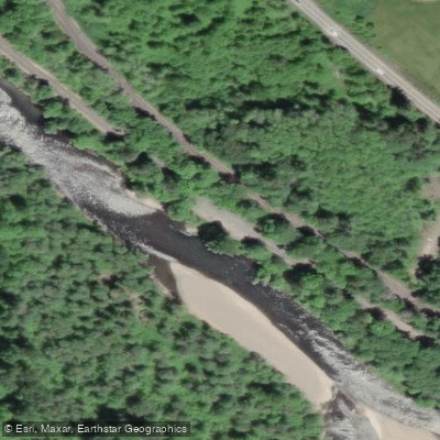
Chehalis River Oakville Access
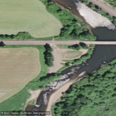
Porter Bridge Access
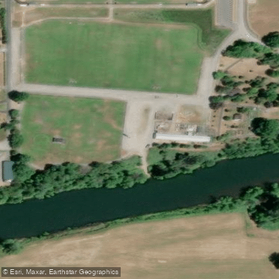
Fort Borst Access
Paddle smarter with real-time insights
Whether you're en route and conditions shift or you're looking for the best spot based on current flows, we enable you to make informed decisions on the fly.








Find Places to Paddle

Over 400,000 Places to Paddle
Every user gets free access to launch points, boat ramps, and public property parcels.


Water and weather conditions (10 day forecast)
See the best times to paddle Chehalis River and check the forecast before you go.
CHEHALIS RIVER NEAR DOTY, WA
All Flow Stations
Paddling near Chehalis River
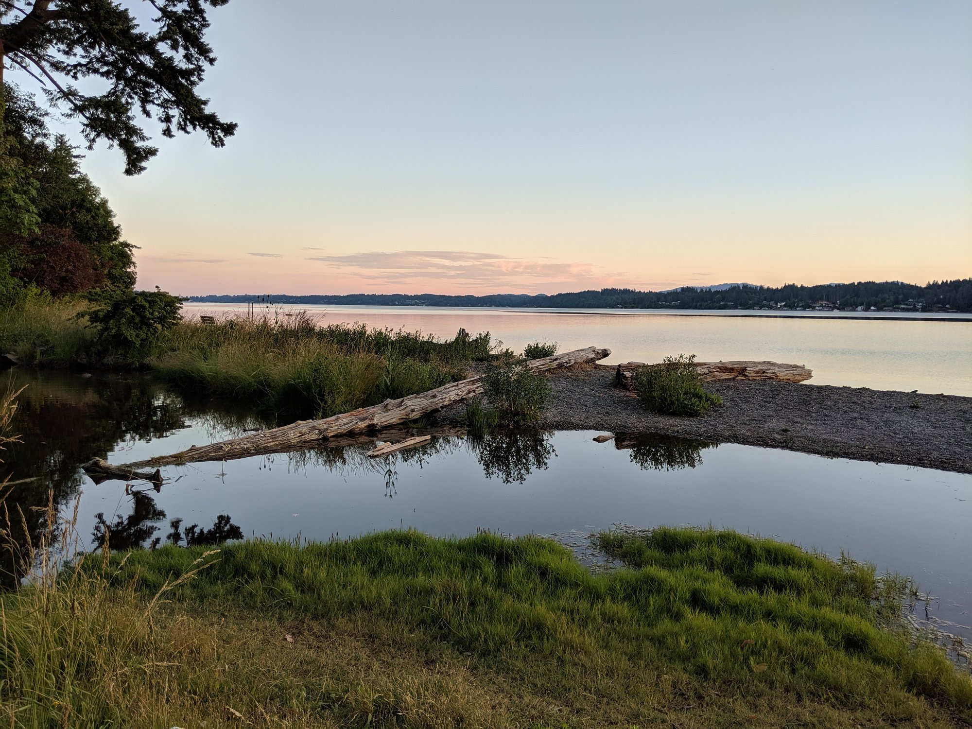
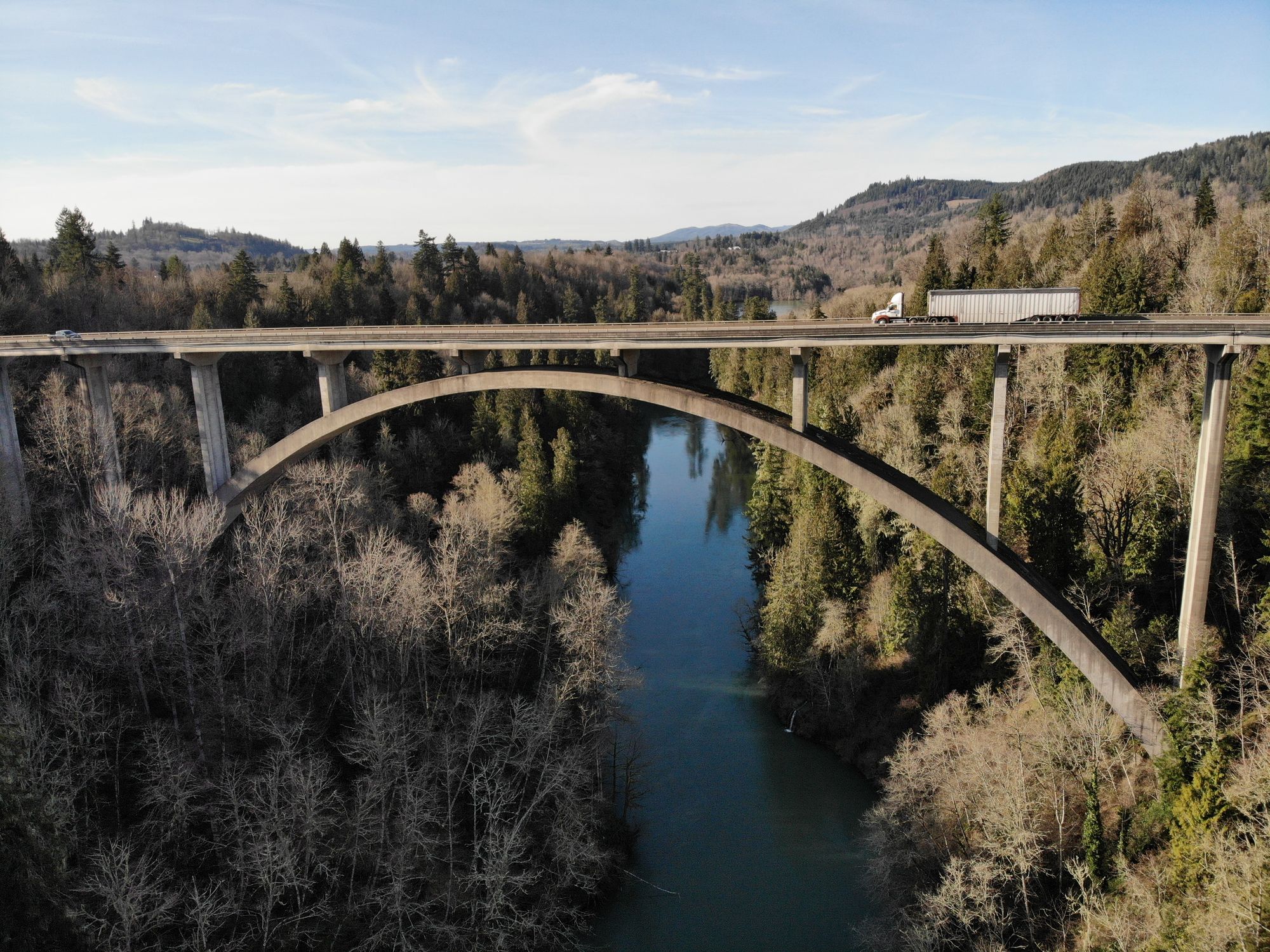

Explore Washington waters
Top paddling waters
Popular Cities
Loading popular cities...
Explore near Chehalis River
Access points
Nearby waters
More in Washington

Smarter Paddling Starts in the App.
Paddleways gives you everything you need to plan smarter, paddle better, and own every trip from first launch to takeout.