Nisqually Reach
- Saltwater
- Bay
Nisqually Reach
- Saltwater
- Bay
- Sq. miles
- 20
- Boat Ramps
- 2
- Access Points
- 1
- Campsites
- 1
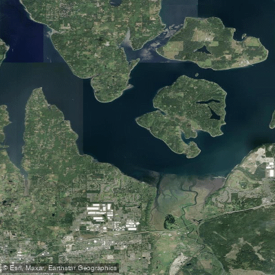
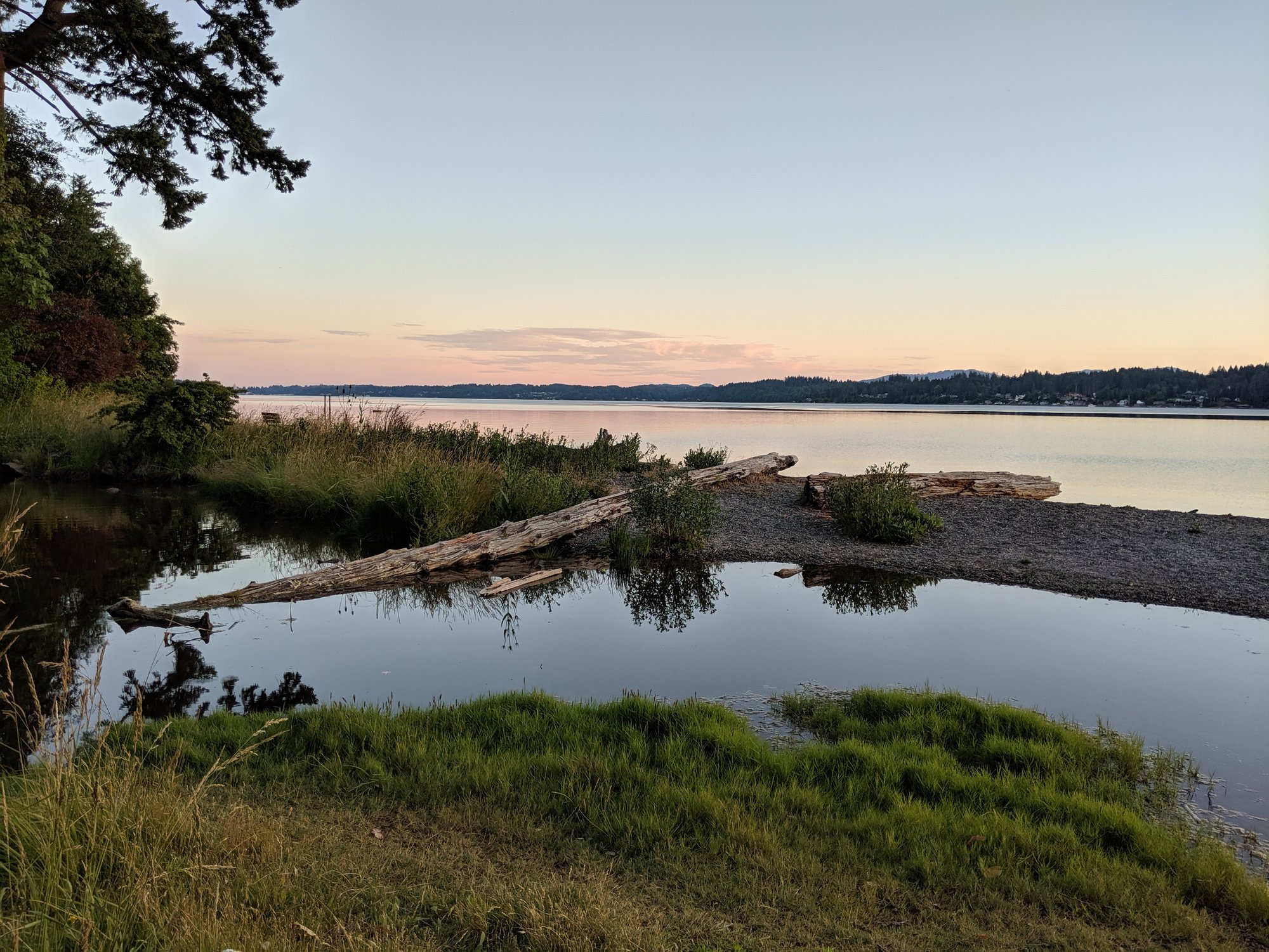
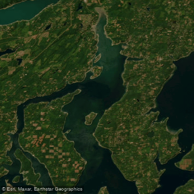
Nisqually Reach is a broad, shallow bay and estuarine complex at the southern end of Puget Sound in Washington State, characterized by its connection to the Nisqually River Delta. The primary and most practical launch site for paddlers is Luhr Beach, also known as Luhr's Landing, operated by the Washington Department of Fish and Wildlife. This site features a paved boat launch and ample parking, but a Discover Pass or a WDFW Vehicle Use Permit is required for each vehicle. A critical planning note is that the concrete launch ramp becomes inaccessible during extreme low tides, making tide consultation essential. An alternative launch point with a Discover Pass requirement is the Nisqually River Public Access at the end of 6th Ave SE, though taking out there requires a long, exposed crossing of the delta. Tolmie State Park offers beach access but its parking is less convenient for boaters.
Tidal influence is the dominant and most serious hazard. The tidal range can be as great as 14 feet, rapidly exposing vast mudflats that are highly dangerous with quicksand-like features; walking on them may be impossible and they can trap a person. It is safest to cross these flats only on a rising tide. Currents in the channels and creeks can reach approximately 1 knot. A recommended strategy for exploring interior creeks like McAllister Creek is to launch two hours before high tide at Nisqually Reach, allowing the flood to carry you in, and then return on the ebb after a break. Wind can also be a factor, with fetch across the open reach. The area is shared with motorboats and is actively used by waterfowl hunters from October through January, necessitating heightened awareness.
The paddling experience is defined by exploration of the Billy Frank Jr. Nisqually National Wildlife Refuge, a 762-acre protected estuary. While most of the refuge is open to paddling, exiting boats is prohibited to protect habitat. A clearly marked sanctuary area exists where boating is not allowed. The scenery is a mosaic of salt marsh, channels, and mudflats, with views of Mount Rainier possible on clear days. Wildlife viewing is a major draw, with abundant birds, seals, and sea lions. The Nisqually Reach Nature Center, adjacent to Luhr Beach, offers educational resources. The overall character is one of a biologically rich but physically demanding environment where meticulous tide and weather planning is not just advised but required for safety.
Water access, boat ramps & amenities
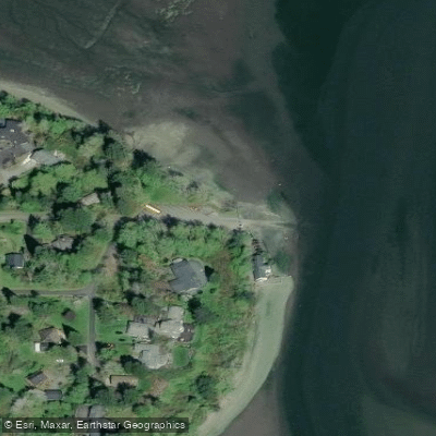
Learn how to get on Nisqually Reach. Uncover great paddling access points, boat ramps, and all the facilities you need for an unforgettable day on the water. Some locations shown may border or include private property. Always check property boundaries and applicable regulations before visiting. PaddleWays's Public & Private Land layer can help you plan your access with confidence.
Paddle smarter with real-time insights
Whether you're en route and conditions shift or you're looking for the best spot based on current flows, we enable you to make informed decisions on the fly.








Find Places to Paddle

Over 400,000 Places to Paddle
Every user gets free access to launch points, boat ramps, and public property parcels.


Tides, wind & water conditions (10 day forecast)
On open water, wind and tide matter as much as the weather. See the best times to paddle Nisqually Reach and check the marine forecast before you launch.
Loading tide predictions…
Paddling near Nisqually Reach

Explore Washington waters
Top paddling waters
Popular Cities
Loading popular cities...
Explore near Nisqually Reach
Access points
Nearby waters
More in Washington

Smarter Paddling Starts in the App.
Paddleways gives you everything you need to plan smarter, paddle better, and own every trip from first launch to takeout.