Entiat River
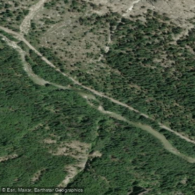
Entiat River
- Boat Ramps
- 0
- Access Points
- 2
- Campsites
- 17
The Entiat River flows approximately 50 miles through central Washington's Cascade Mountains before joining the Columbia River. Originating high in the Glacier Peak Wilderness, the river tumbles southwest through a scenic glacial valley, fed by numerous mountain streams and Lake Creek, its largest tributary. For whitewater enthusiasts, the Entiat offers a range of paddling opportunities, from technical Class IV-V rapids in its upper reaches to more moderate Class II-III sections lower down.
The river is divided into several distinct runs: The upper Lake Creek to National Forest Boundary section provides 3 miles of intense Class IV+ whitewater for expert paddlers. Downstream, the 6.7-mile Cottonwood Section (also called Canyon Section) serves up continuous Class III-IV(V+) rapids through a dramatic gorge. The Box Canyon run continues this challenging whitewater for another 2.5 miles. Finally, the 14.5-mile Lower Entiat gradually eases from Class IV+ to II+ as it approaches the Columbia.
Spring snowmelt typically provides the best flows from April through June, though summer thunderstorms can create sporadic paddling opportunities. The river corridor hosts diverse wildlife including deer, elk, black bears, and bald eagles. Towering ponderosa pines and Douglas firs line the banks.
Key access points include Lake Creek Campground (28 miles up Entiat River Road), Cottonwood Campground, and various Forest Service roads. The small town of Entiat near the river's mouth offers supplies and accommodations.
Paddlers should be aware of potential wood hazards, especially in the upper canyon sections. A dangerous fish trap is located about 3.5 miles below the Lower Entiat put-in. All boaters should scout carefully and wear appropriate safety gear.
For those seeking multi-day adventures, primitive camping is available at various Forest Service sites along the river. The Entiat offers a pristine wilderness experience and challenging whitewater for skilled paddlers willing to venture off the beaten path.
Water access, boat ramps & amenities
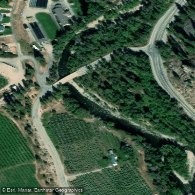
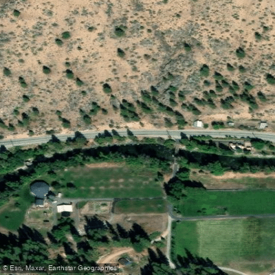
Learn how to get on Entiat River. Uncover great paddling access points, boat ramps, and all the facilities you need for an unforgettable day on the water. Some locations shown may border or include private property. Always check property boundaries and applicable regulations before visiting. PaddleWays's Public & Private Land layer can help you plan your access with confidence.
Paddle smarter with real-time insights
Whether you're en route and conditions shift or you're looking for the best spot based on current flows, we enable you to make informed decisions on the fly.








Find Places to Paddle

Over 400,000 Places to Paddle
Every user gets free access to launch points, boat ramps, and public property parcels.


Water and weather conditions (10 day forecast)
See the best times to paddle Entiat River and check the forecast before you go.
ENTIAT RIVER NEAR ENTIAT, WA
All Flow Stations
Paddling near Entiat River

Columbia River
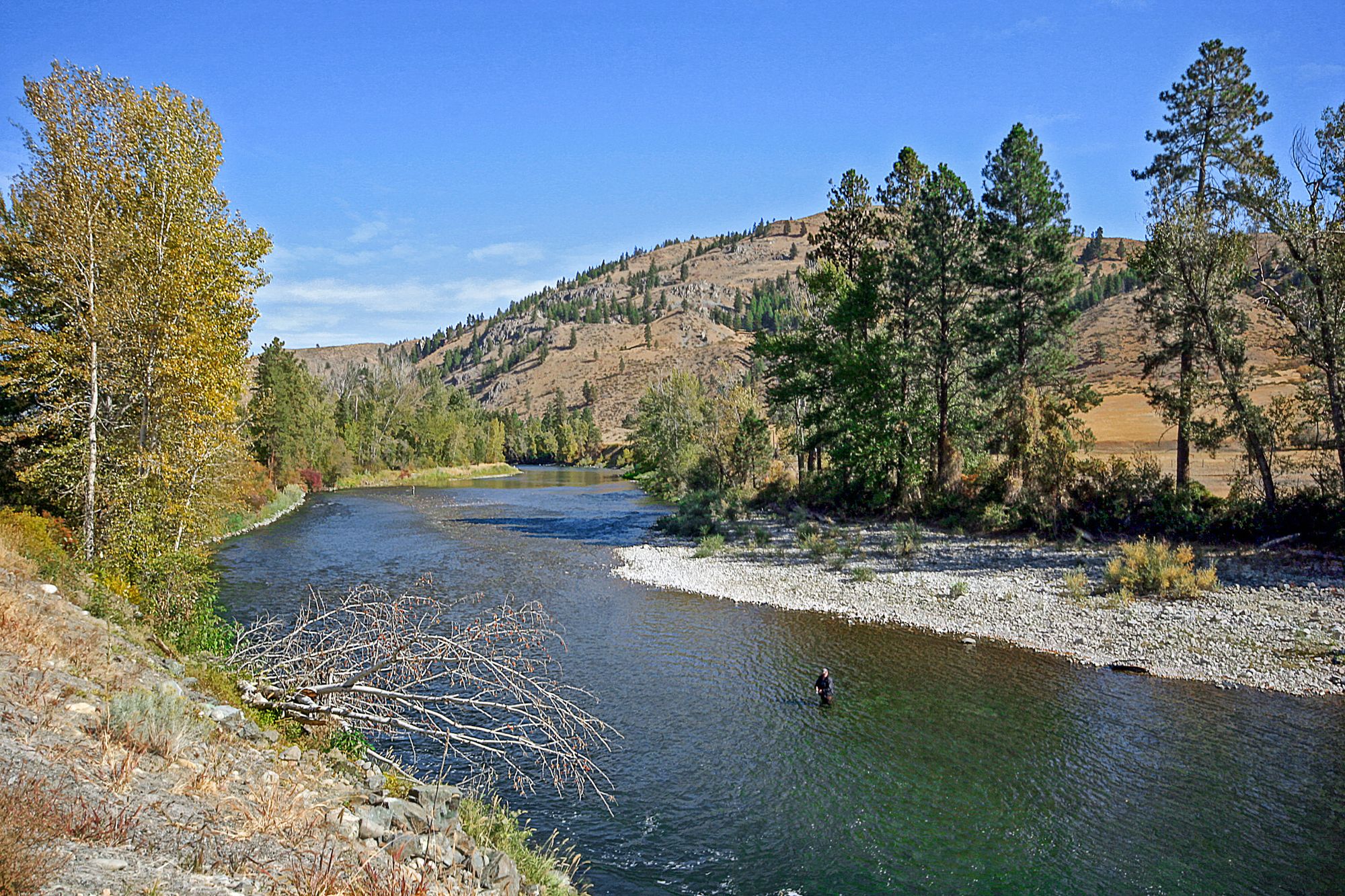
Methow River
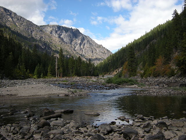
Wenatchee River
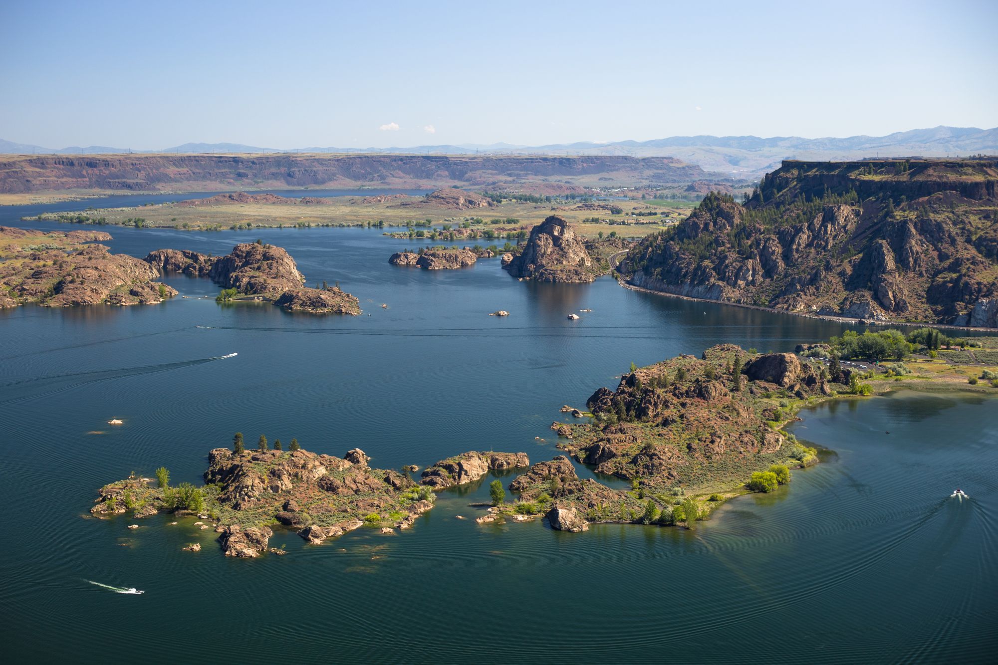
Banks Lake
Lenore Lake
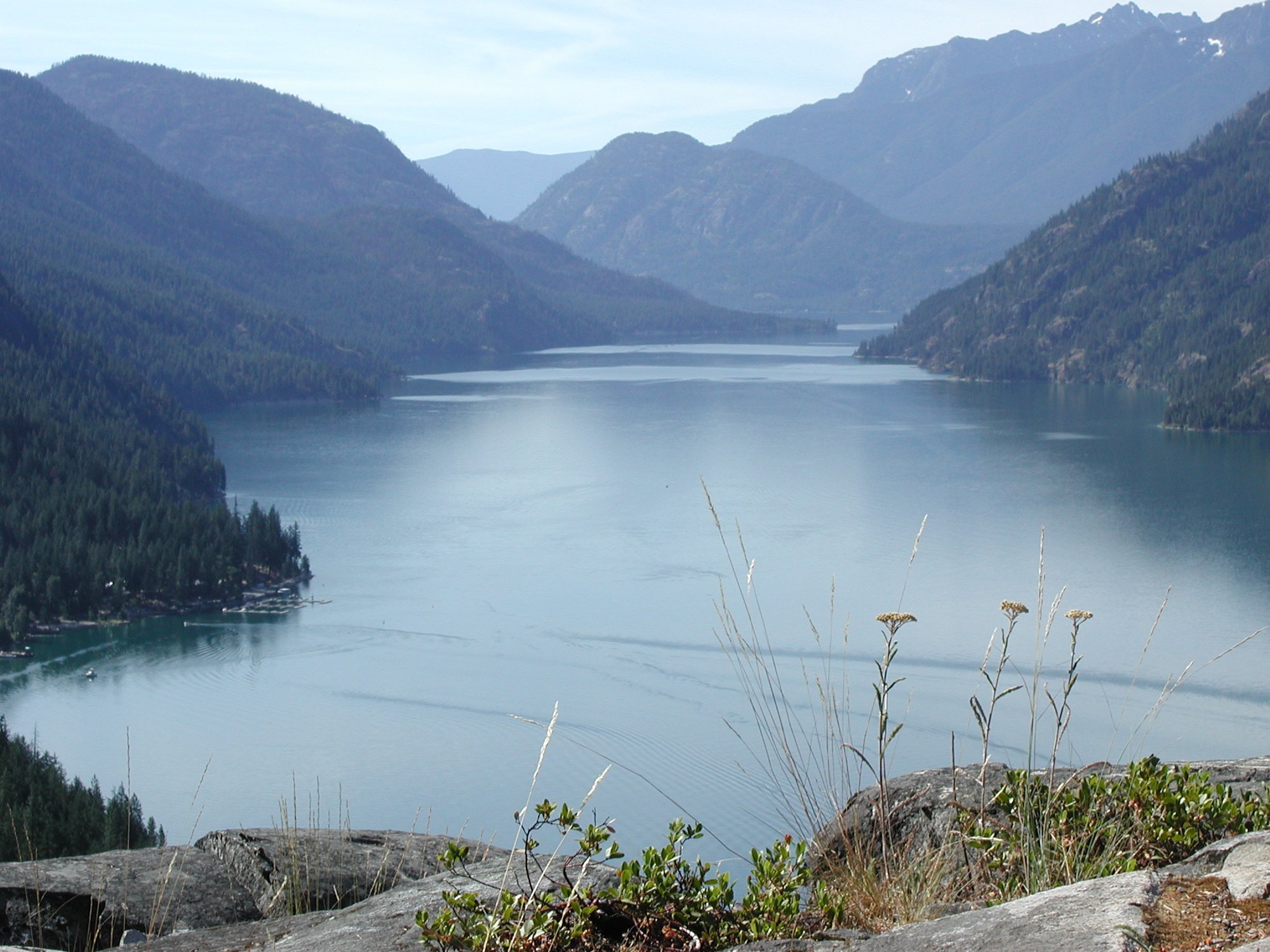
Lake Chelan
Burke Lake
Okanogan River
Peshastin Creek
Explore Washington waters
Top paddling waters
Popular Cities
Loading popular cities...
Explore near Entiat River
Access points
Nearby waters
More in Washington

Smarter Paddling Starts in the App.
Paddleways gives you everything you need to plan smarter, paddle better, and own every trip from first launch to takeout.