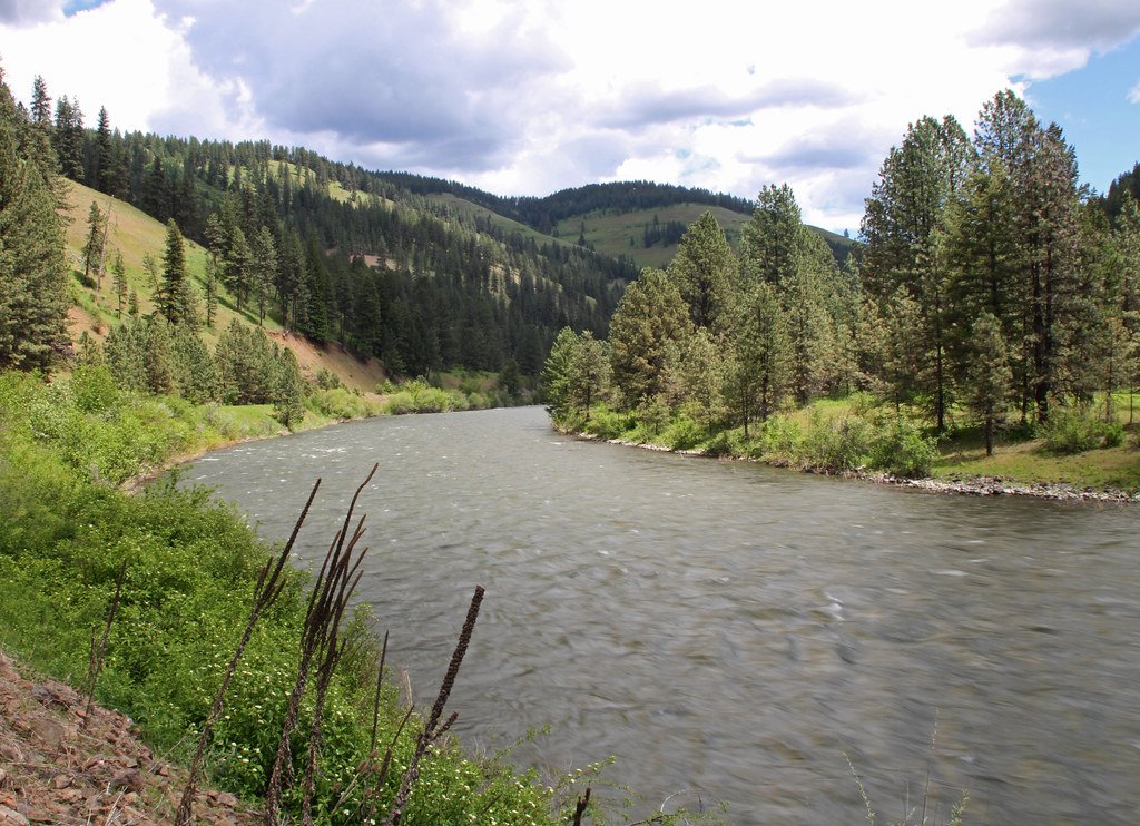
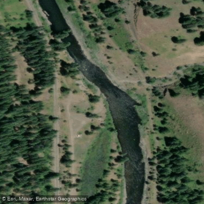
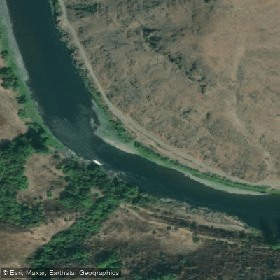
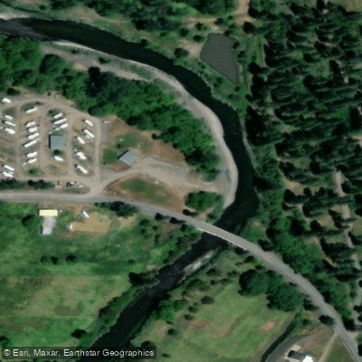
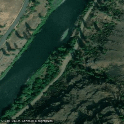
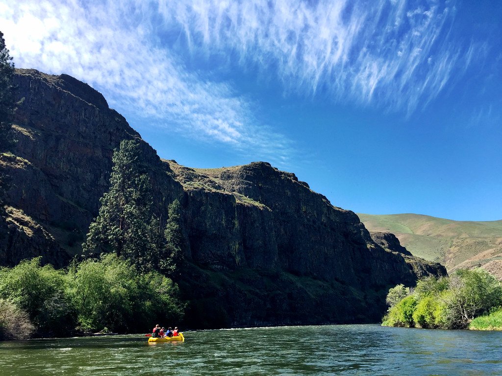
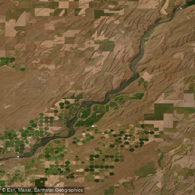
The Grande Ronde River is a 212-mile long tributary of the Snake River, originating in the Blue Mountains of northeastern Oregon and flowing generally northeast through Oregon and into southeastern Washington. Its major tributaries include the Wallowa River, which joins the Grande Ronde near Rondowa, Oregon. The river offers excellent paddling opportunities for rafters, kayakers, and canoeists, with sections ranging from calm floats to challenging whitewater. The most popular stretch runs from Minam to Troy in Oregon, covering about 40 miles of scenic wilderness. This section is part of the National Wild & Scenic Rivers system and typically takes 2-3 days to complete.
Overall difficulty ranges from Class I to IV, with most popular sections falling in the Class II-III range. The river is suitable for intermediate paddlers, though some technical skills are required for more challenging rapids, especially at higher water levels. The best paddling season is generally from April to July, with peak flows in spring from snowmelt. Fall can offer a more technical, low-volume experience. Water levels can significantly affect the character of the run, so checking current conditions is essential.
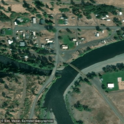
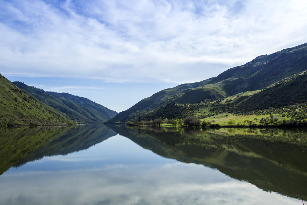
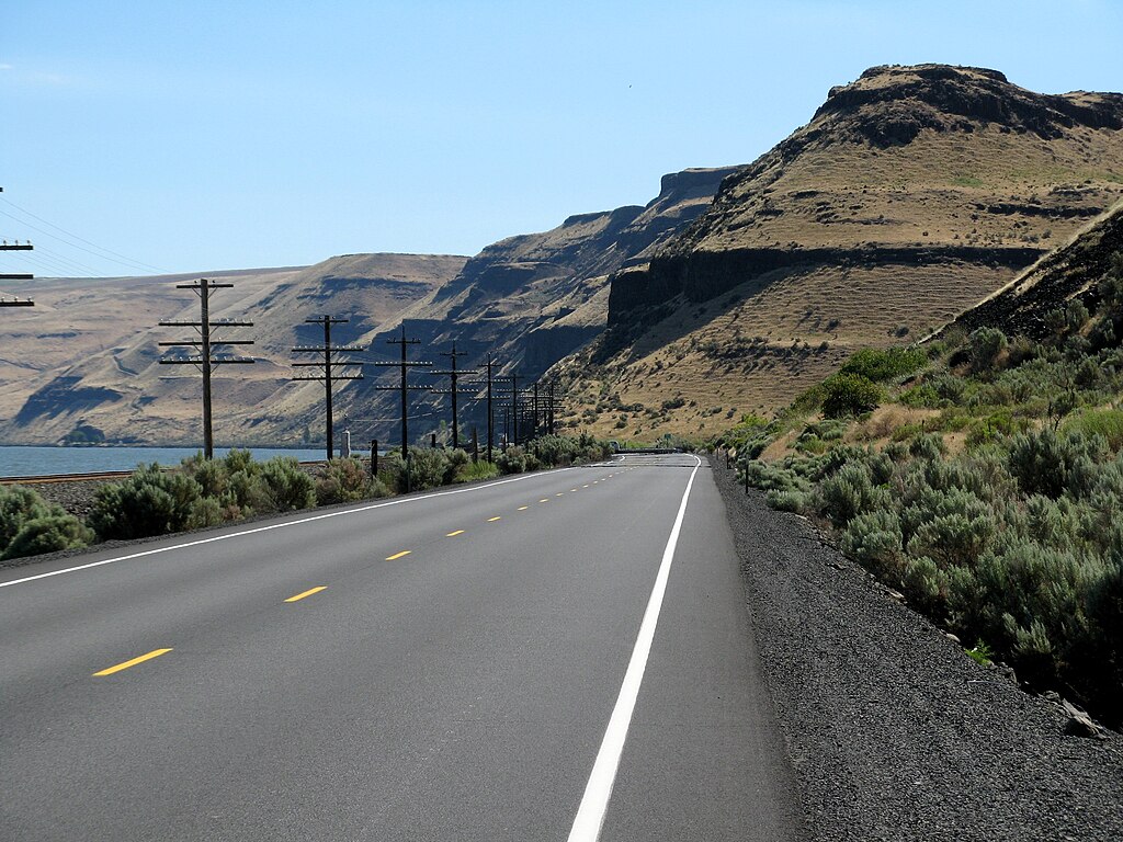
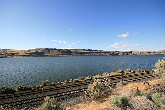
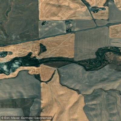
The Grande Ronde flows through diverse ecosystems, from open farmland to forested canyons. Wildlife sightings may include elk, deer, bighorn sheep, and various bird species. The river corridor is known for its pristine natural beauty and relative isolation. Key landmarks include the Minam Store (a common put-in point), the confluence of the Wallowa and Grande Ronde rivers, and the town of Troy. Other notable features are House Rock Rapids and the scenic basalt canyons that characterize much of the river's course.
Primary access points include Minam (near La Grande, OR), Troy, OR, and Heller Bar (on the Snake River in WA). The river passes through sparsely populated areas, with La Grande being the largest nearby city. Historically, the Grande Ronde was important to Native American tribes and later played a role in early European exploration and settlement of the region. Today, it's valued for its recreational opportunities and as critical habitat for steelhead and Chinook salmon.
Safety considerations include remoteness, potential for high water in spring, and limited cell phone coverage. A boater's permit is required for floating the Wallowa and Grande Ronde rivers in Oregon. Multi-day trip options are popular, with the 91-mile journey from Minam to Heller Bar being a classic 5-7 day adventure. Shorter trips like Minam to Troy (2-3 days) or Troy to Boggan's Oasis (2 days) are also common. Numerous campsites along the river make overnight trips easily accessible for those seeking an immersive wilderness experience.