Lake Crescent
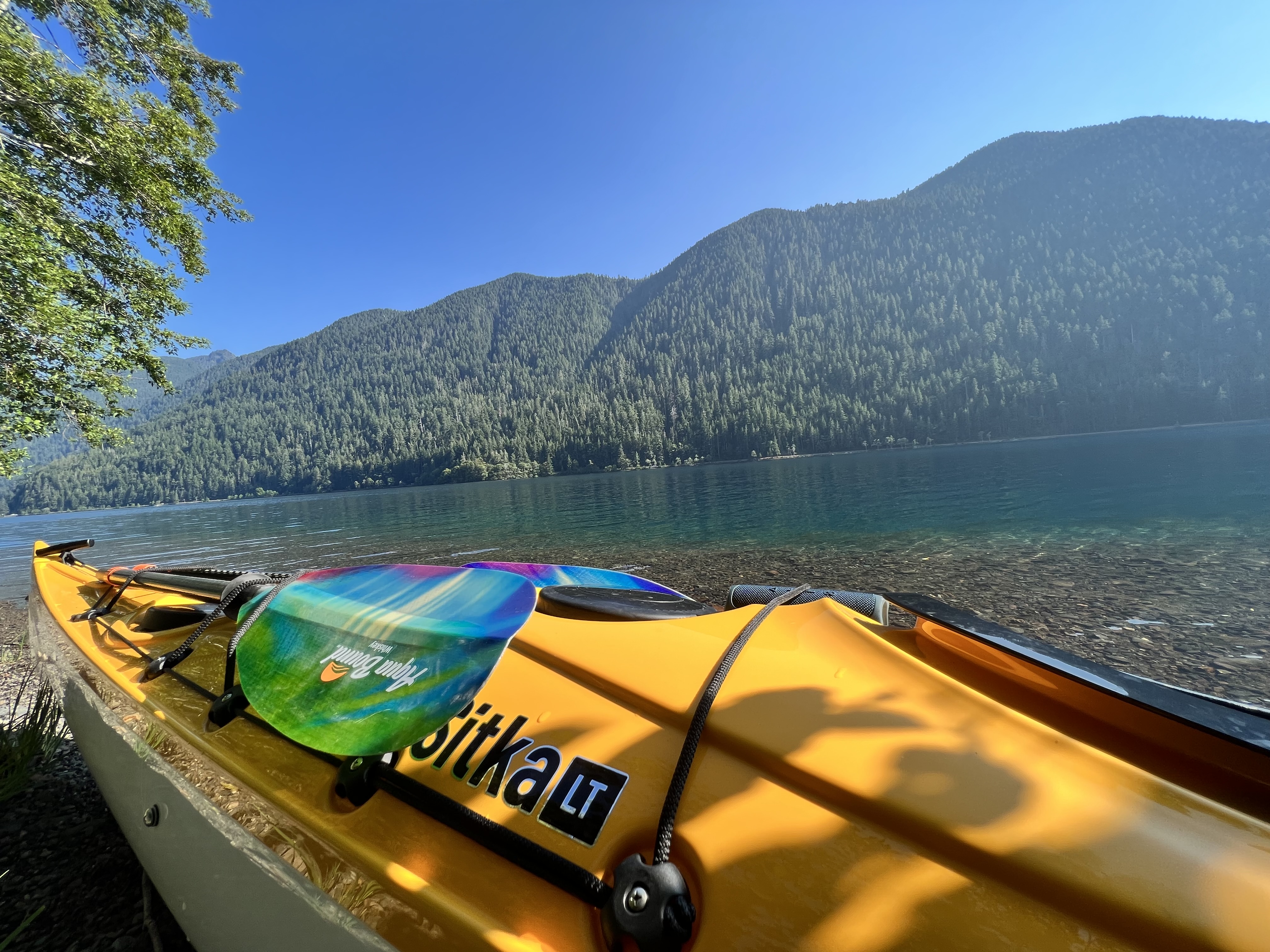
Lake Crescent
- Boat Ramps
- 2
- Access Points
- 2
- Campsites
- 6
Lake Crescent is a stunning glacially-carved lake in Olympic National Park, Washington. At 12 miles long and 620 feet deep, it's renowned for its incredibly clear, azure waters with visibility up to 60 feet. The lake is surrounded by towering mountains, including Storm King and Pyramid peaks, creating a dramatic backdrop for paddling.
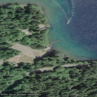
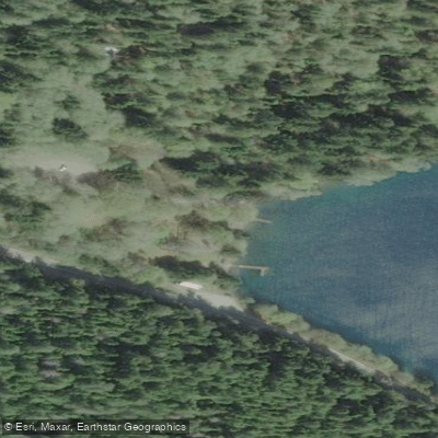
Several access points are available for launching kayaks and paddleboards. The main boat launches are at Fairholme, Barnes Point, and Log Cabin Resort. Many picnic areas also allow launching for smaller watercraft. Rentals are available seasonally at Lake Crescent Lodge, Log Cabin Resort, and Fairholme.
The lake's water is quite cold, with temperatures in the mid-40s Fahrenheit. Motorized boats are allowed, but are restricted to 5 mph within 300 feet of shore, creating a peaceful environment for paddlers. Free children's life jackets can be borrowed at Fairholme and Barnes Point.
Popular paddling destinations include Devil's Punchbowl, a scenic swimming hole about a mile from the Spruce Railroad trailhead. The 5.5-mile Spruce Railroad Trail along the north shore offers additional scenic views for paddlers. Wildlife sightings may include bald eagles and blacktail deer along the shoreline.
Fairholme Campground and Lake Crescent Lodge provide overnight accommodations near the water. The lodge also offers a restaurant with lake views. For a more secluded experience, the North Shore Picnic Area provides a quiet spot to relax by the water.
Lake Crescent is open year-round, though summer brings the warmest temperatures and busiest crowds. Spring and fall offer more solitude. Paddlers should be aware that the lake can get deep quickly in some areas.
Water access, boat ramps & amenities
Learn how to get on Lake Crescent. Uncover great paddling access points, boat ramps, and all the facilities you need for an unforgettable day on the water. Some locations shown may border or include private property. Always check property boundaries and applicable regulations before visiting. PaddleWays's Public & Private Land layer can help you plan your access with confidence.
Paddle smarter with real-time insights
Whether you're en route and conditions shift or you're looking for the best spot based on current flows, we enable you to make informed decisions on the fly.








Find Places to Paddle

Over 400,000 Places to Paddle
Every user gets free access to launch points, boat ramps, and public property parcels.


Water and weather conditions (10 day forecast)
See the best times to paddle Lake Crescent and check the forecast before you go.
No forecast data available.
Paddling near Lake Crescent
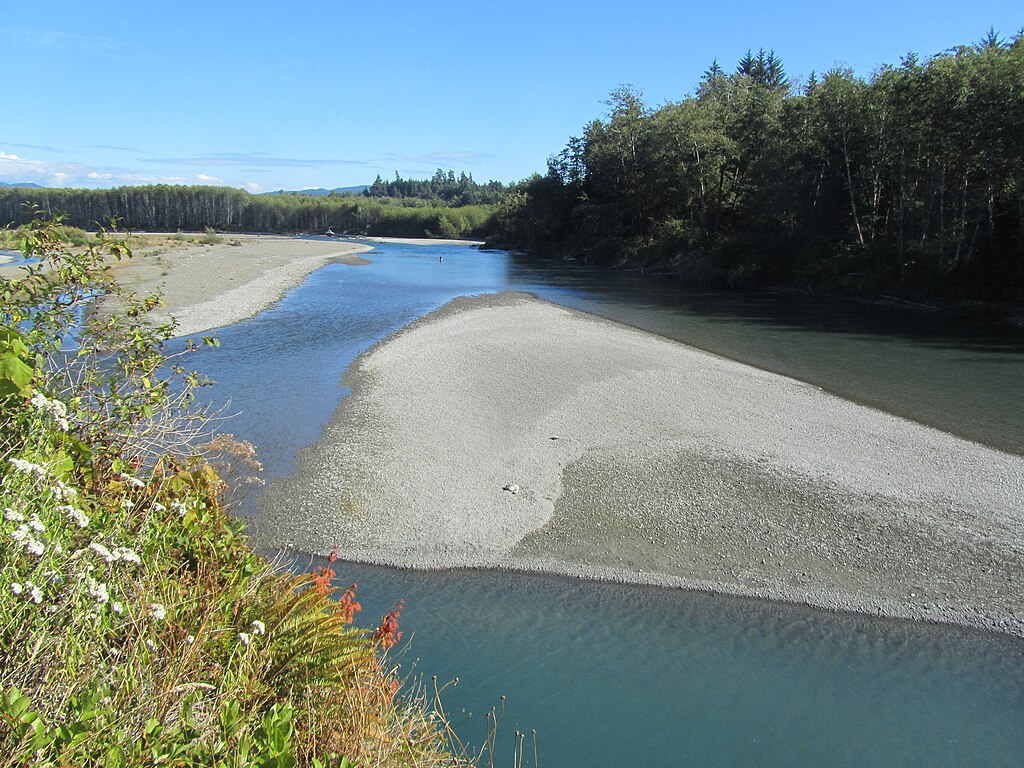
Hoh River
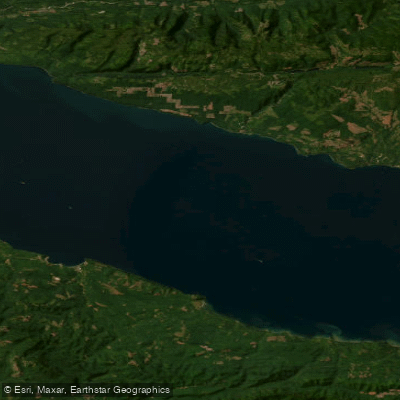
Strait of Juan de Fuca
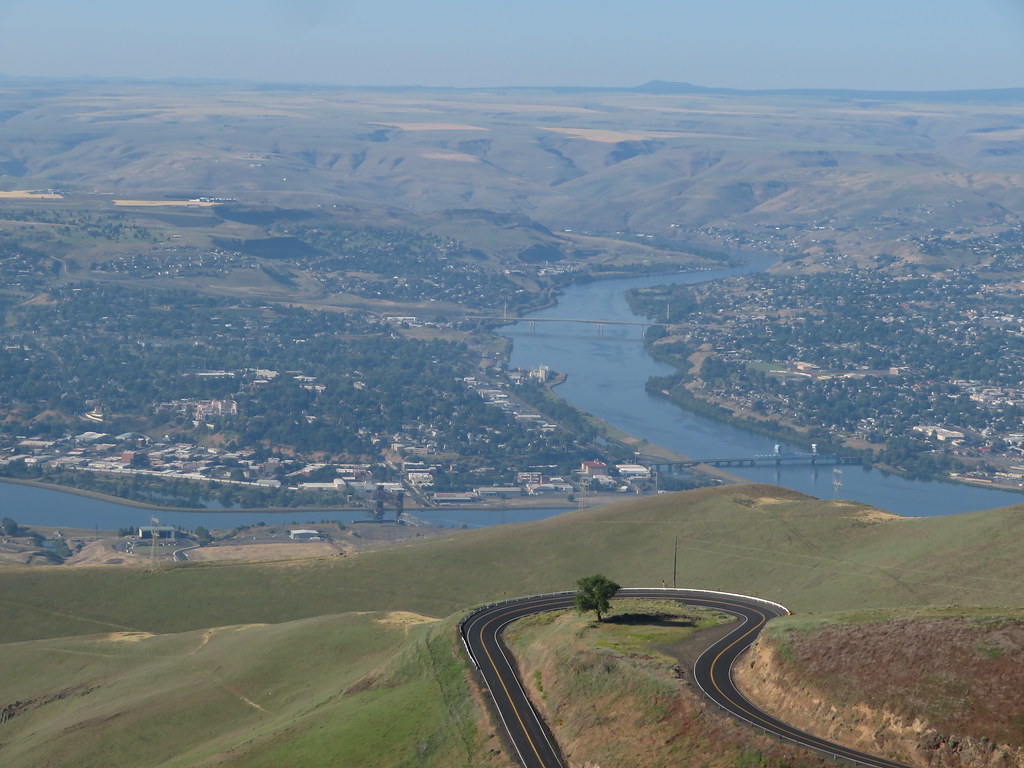
Clearwater River
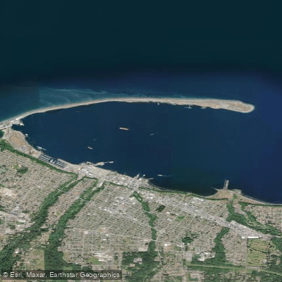
Port Angeles
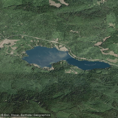
Lake Sutherland
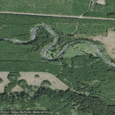
Sol Duc River
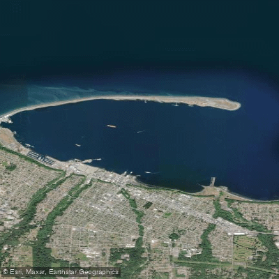
Port Angeles Harbor
Elwha River
Explore Washington waters
Top paddling waters
Popular Cities
Loading popular cities...
Explore near Lake Crescent
Access points
Nearby waters
More in Washington

Smarter Paddling Starts in the App.
Paddleways gives you everything you need to plan smarter, paddle better, and own every trip from first launch to takeout.