Port Angeles
- Saltwater
- Bay
Port Angeles
- Saltwater
- Bay
- Sq. miles
- 3.4
- Boat Ramps
- 3
- Access Points
- 0
- Campsites
- 0
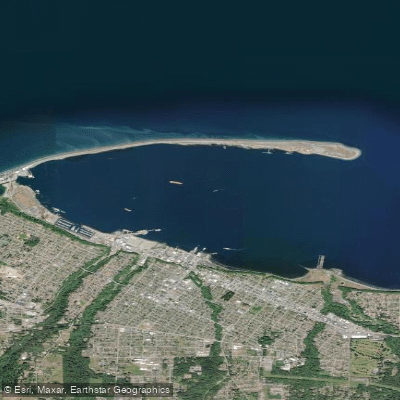
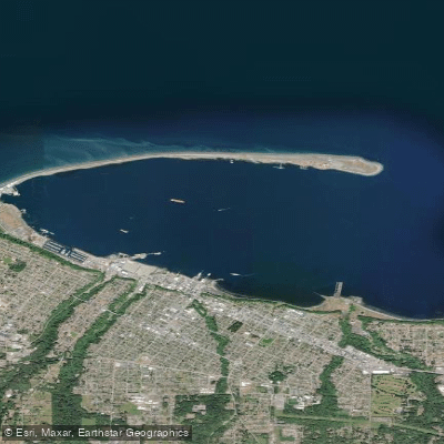
Port Angeles is a deep, sheltered bay on the Strait of Juan de Fuca, offering paddlers a mix of protected harbor water and more exposed coastal conditions. The primary saltwater launch points are along the waterfront in downtown Port Angeles and on Ediz Hook, a long natural spit that forms the harbor. Specific launch sites include Hollywood Beach downtown, the City Pier, and the Sail & Paddle Park located on Ediz Hook, which features beach access and a public boat ramp. Another significant launch area is Freshwater Bay, a county park west of the harbor with a boat launch. The water is consistently cold, averaging around 50°F year-round, making thermal protection like wetsuits or dry suits a critical safety requirement to prevent hypothermia. Paddling conditions are heavily influenced by tides and weather. The harbor area behind Ediz Hook provides calm, sheltered water suitable for beginners, especially for sunrise or sunset tours where seals are commonly sighted. Venturing beyond the hook into the Strait of Juan de Fuca exposes paddlers to stronger winds, greater fetch, and tidal currents. For trips along the coast, such as from Freshwater Bay toward Tongue Point, planning around the tidal cycle is essential, as currents in the Strait can be significant, with a typical pattern of a morning ebb and afternoon flood. Paddlers must remain vigilant for boat traffic, particularly near the harbor entrance and channels, and should be aware that the Washington State Ferry operates in the area, which may necessitate waiting for it to dock. The scenery is dominated by views of the Olympic Mountains, and wildlife sightings can include bald eagles, harbor seals, river otters, and various sea birds. The best seasons for paddling are generally from spring through fall, with morning hours often providing the lightest winds.
Water access, boat ramps & amenities
Learn how to get on Port Angeles. Uncover great paddling access points, boat ramps, and all the facilities you need for an unforgettable day on the water. Some locations shown may border or include private property. Always check property boundaries and applicable regulations before visiting. PaddleWays's Public & Private Land layer can help you plan your access with confidence.
Paddle smarter with real-time insights
Whether you're en route and conditions shift or you're looking for the best spot based on current flows, we enable you to make informed decisions on the fly.








Find Places to Paddle

Over 400,000 Places to Paddle
Every user gets free access to launch points, boat ramps, and public property parcels.


Tides, wind & water conditions (10 day forecast)
On open water, wind and tide matter as much as the weather. See the best times to paddle Port Angeles and check the marine forecast before you launch.
Loading tide predictions…
Paddling near Port Angeles
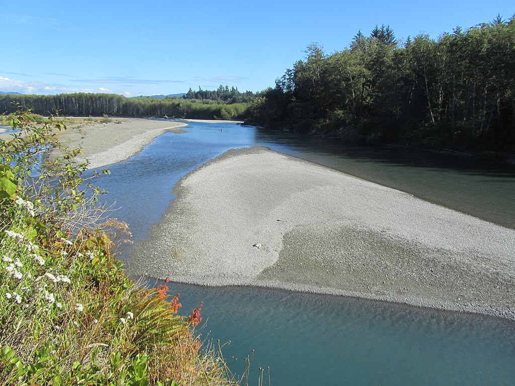
Hoh River
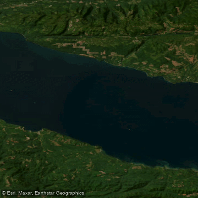
Strait of Juan de Fuca
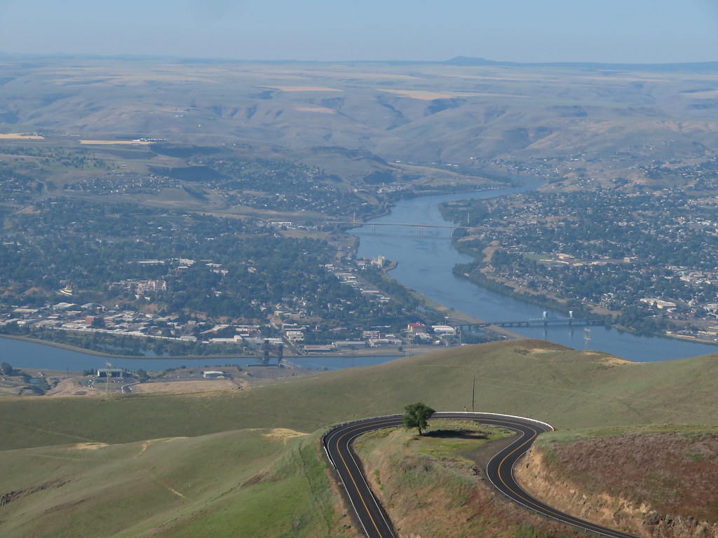
Clearwater River
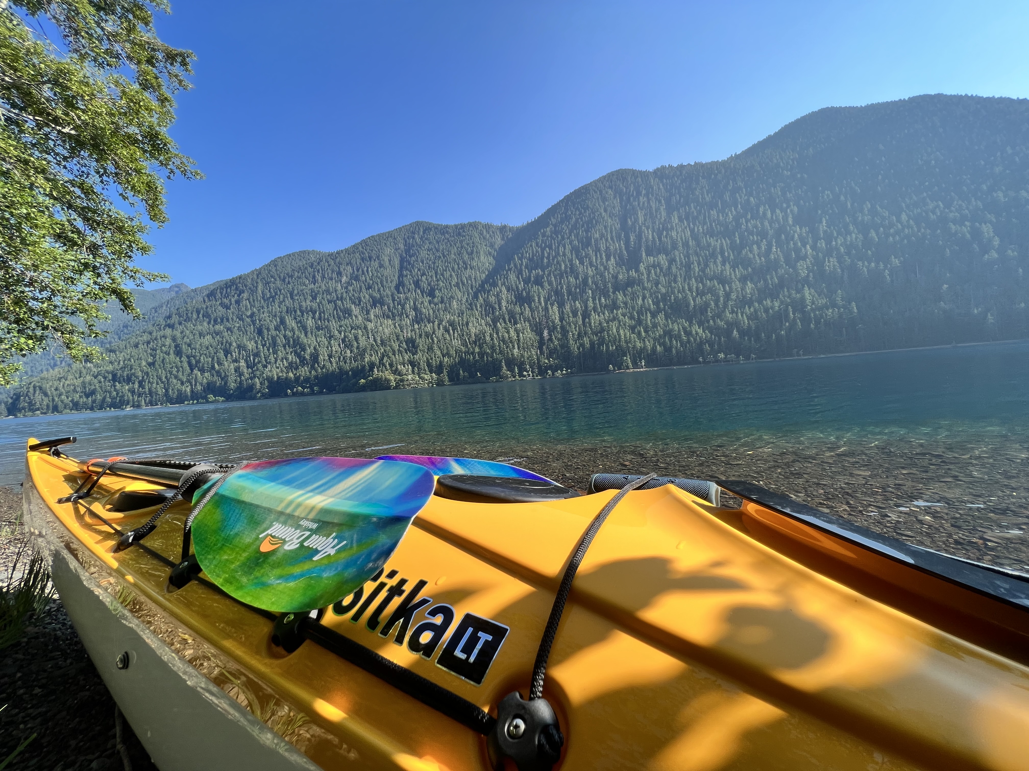
Lake Crescent
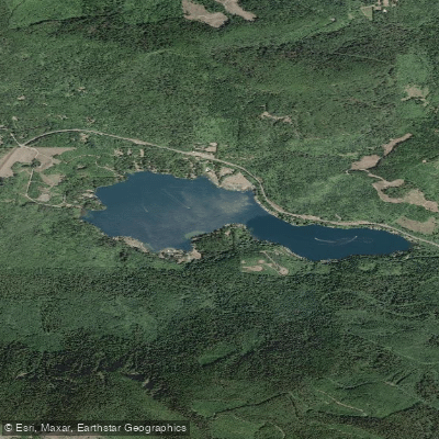
Lake Sutherland
Sol Duc River
Port Angeles Harbor
Elwha River
Explore Washington waters
Top paddling waters
Popular Cities
Loading popular cities...
Explore near Port Angeles
Access points
Nearby waters
More in Washington

Smarter Paddling Starts in the App.
Paddleways gives you everything you need to plan smarter, paddle better, and own every trip from first launch to takeout.