Case Inlet
- Saltwater
- Inlet
Case Inlet
- Saltwater
- Inlet
- Sq. miles
- 23
- Boat Ramps
- 4
- Access Points
- 2
- Campsites
- 7
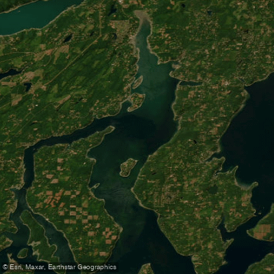
Case Inlet is a saltwater inlet in southern Puget Sound, Washington, forming the boundary between Pierce and Mason Counties. It lies between the Key Peninsula to the east and Hartstine Island to the west, with its northern end referred to as North Bay. The inlet offers a variety of paddling environments, from protected coves to open water with significant fetch. Several public launches provide access. On the eastern shore, Allyn Waterfront Park charges a $5 parking fee and offers a good beach launch. Joemma Beach State Park on the Key Peninsula requires a Discover Pass and a $7 launch fee. On the western side, the Port of Grapeview's Fair Harbor Marina has a kayak launch with fees of $10 for launch and $5 for parking. Vaughn Bay is another noted launch point. Conditions can change rapidly. The inlet has a long fetch for south and southwest winds, which can build 1-2 foot waves with whitecaps, creating Sea Kayak II/III conditions. Northeast winds also occur and can be strong. Tidal currents are a factor, particularly around narrow passages; standing waves and rips can form in areas like the point in Dana Passage and near the bridges between islands. Paddlers must be prepared for these conditions and monitor wind forecasts. Major boat traffic is present, and kayakers must be cautious of larger boats and waterskiers, especially when making open-water crossings. Notable destinations include McMicken Island State Park, Jarrell Cove State Park, and the marine-access-only Stretch Point State Park, which has a steep beach ideal for landing at low tide. The east shore near Victor features a significant petroglyph site best viewed at lower tides. The islands of Stretch, Reach, and Herron offer protected paddling, though Herron Island and its ferry landing are private property. Paddling under the Stretch Island and Treasure Island bridges provides a unique perspective but requires attention to tidal height, as some channels can become impassably shallow at low tide. Wildlife sightings may include seals, eagles, and various seabirds. The area is suitable for paddling year-round, with trips often planned to take advantage of or avoid specific wind directions.
Water access, boat ramps & amenities
Learn how to get on Case Inlet. Uncover great paddling access points, boat ramps, and all the facilities you need for an unforgettable day on the water. Some locations shown may border or include private property. Always check property boundaries and applicable regulations before visiting. PaddleWays's Public & Private Land layer can help you plan your access with confidence.
Paddle smarter with real-time insights
Whether you're en route and conditions shift or you're looking for the best spot based on current flows, we enable you to make informed decisions on the fly.








Find Places to Paddle

Over 400,000 Places to Paddle
Every user gets free access to launch points, boat ramps, and public property parcels.


Tides, wind & water conditions (10 day forecast)
On open water, wind and tide matter as much as the weather. See the best times to paddle Case Inlet and check the marine forecast before you launch.
Loading tide predictions…
Paddling near Case Inlet

Lake Washington
Carr Inlet
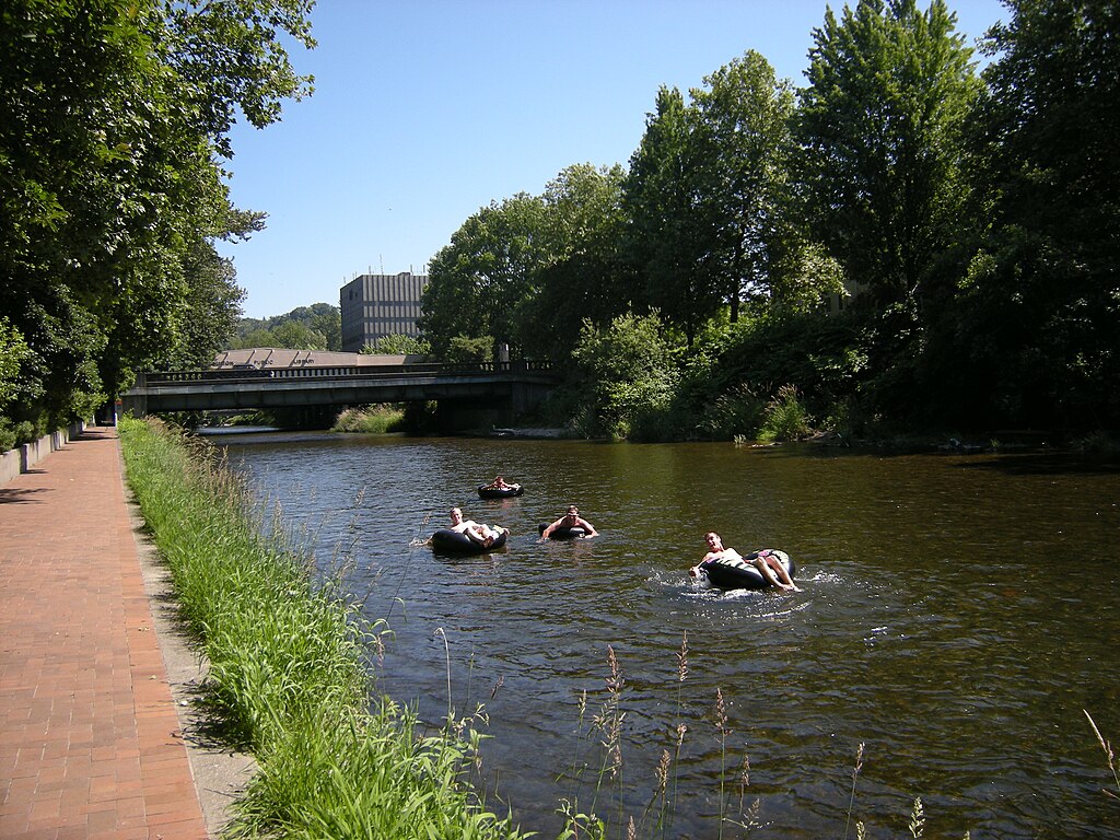
Cedar River
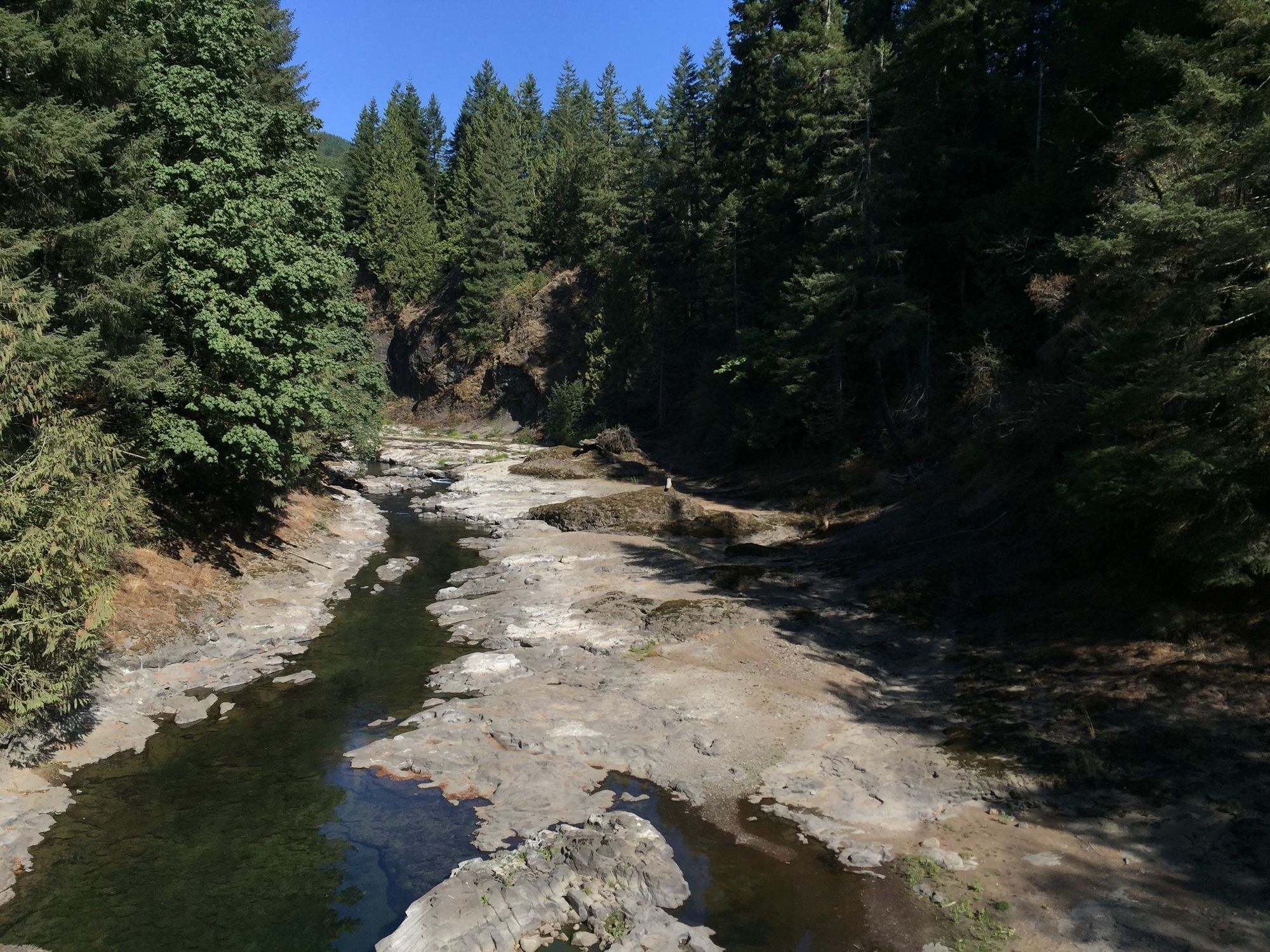
Chehalis River
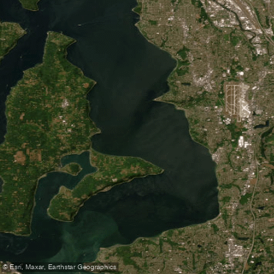
East Passage
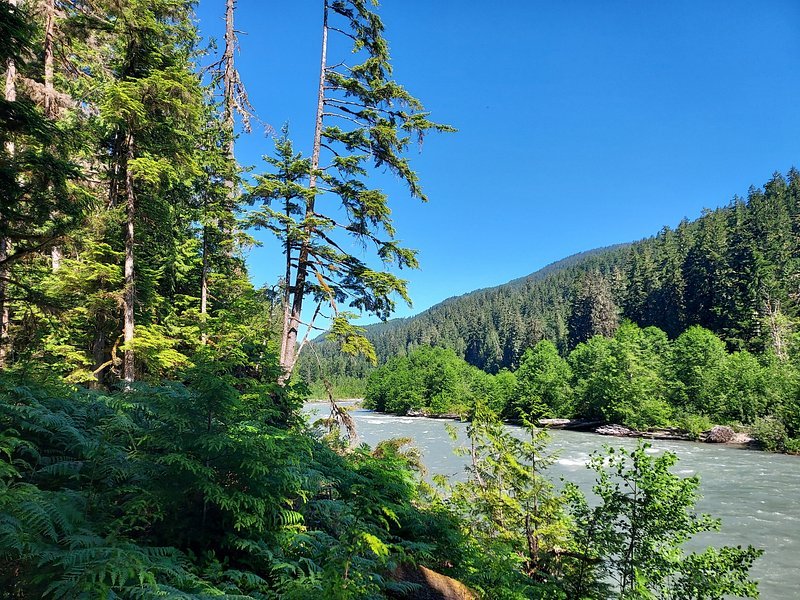
Snoqualmie River
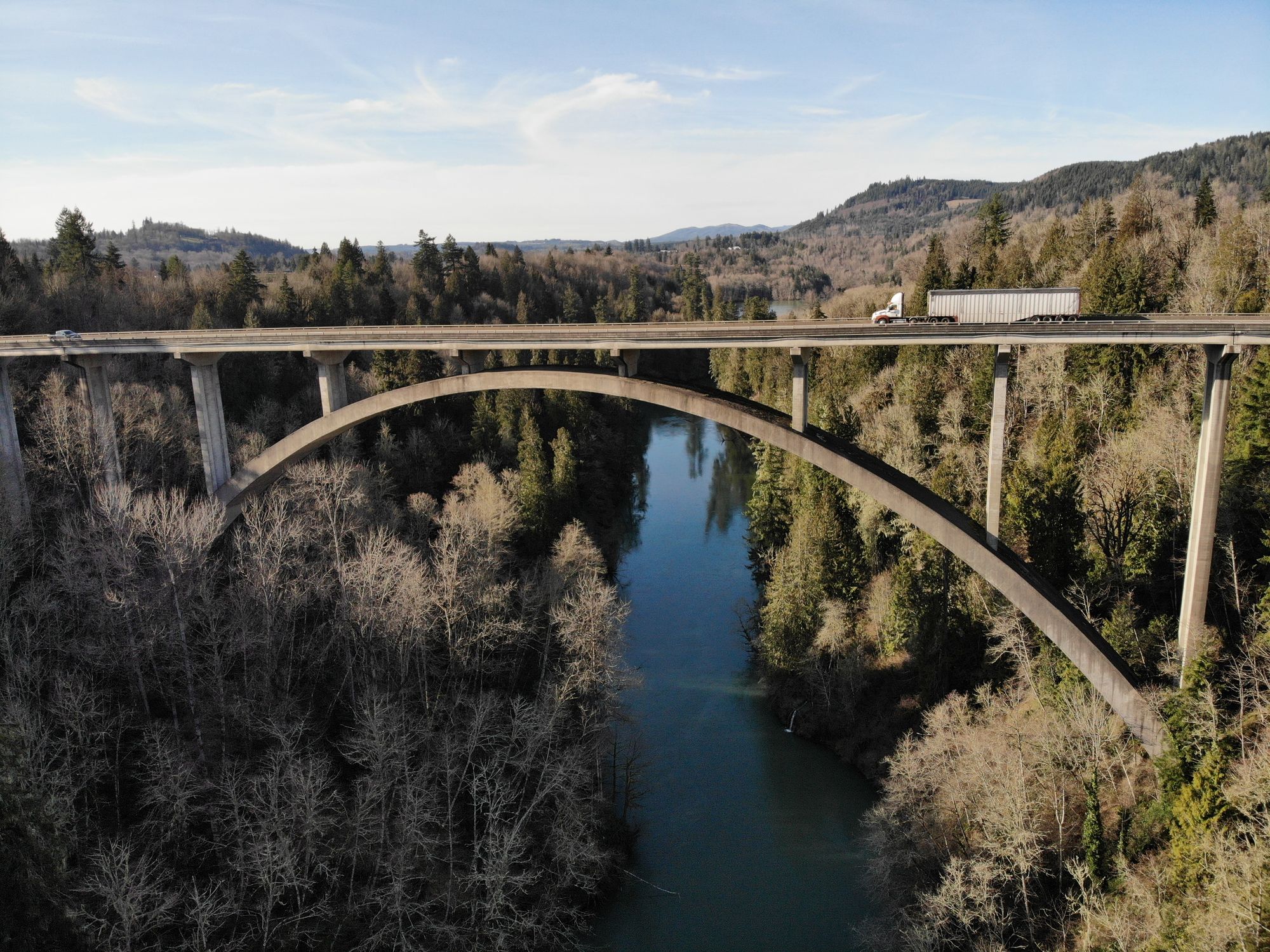
Cowlitz River
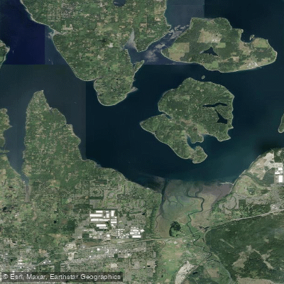
Nisqually Reach
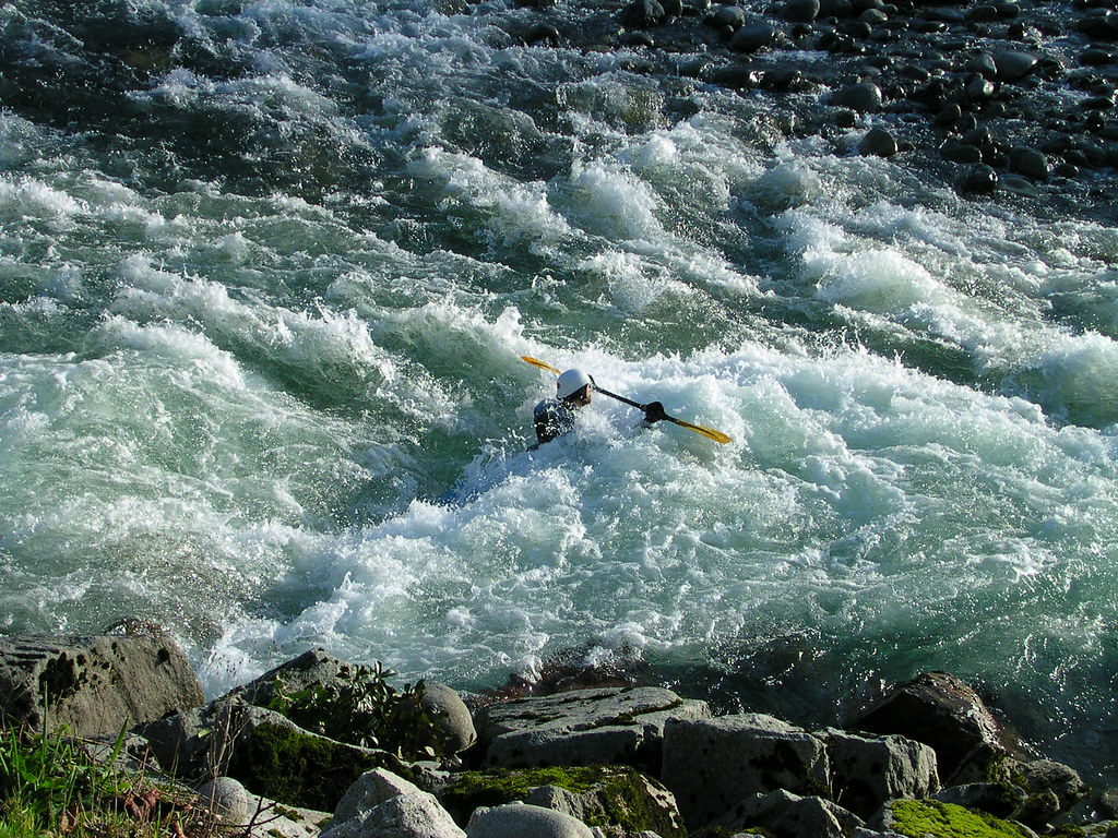
Skykomish River
Explore Washington waters
Top paddling waters
Popular Cities
Loading popular cities...
Explore near Case Inlet
Access points
Nearby waters
More in Washington

Smarter Paddling Starts in the App.
Paddleways gives you everything you need to plan smarter, paddle better, and own every trip from first launch to takeout.