North Fork Salmon Creek
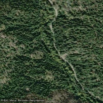
North Fork Salmon Creek
- Boat Ramps
- 0
- Access Points
- 1
- Campsites
- 10
The North Fork Salmon Creek is a tributary of the Salmon Creek watershed in southwestern Washington state. This creek originates in the foothills west of the Cascade Mountains and flows generally westward before joining the main stem of Salmon Creek, which ultimately drains into the Columbia River near Vancouver, Washington. While not a major whitewater destination, the North Fork offers scenic paddling opportunities for intermediate kayakers and canoeists.
The most popular section runs approximately 7 miles from an old school put-in to the confluence with Hagen Creek. This stretch features fun, creeky Class IV rapids through a forested canyon with gin-clear water. The highlight is Teakettle Falls, a significant 20-foot drop located at the Hagen Creek confluence. Paddlers should have solid Class IV skills to safely navigate this run.
The creek is rain-fed and typically has the best flows in fall and spring. Late autumn can offer ideal conditions when the water is low enough to be manageable but high enough to cover the rocks. Summer flows are often too low for enjoyable paddling.
The surrounding riparian habitat supports diverse flora and fauna typical of the Pacific Northwest, including Douglas fir, western red cedar, and various ferns and mosses. Wildlife such as black-tailed deer, bald eagles, and river otters may be spotted along the banks.
Access is relatively straightforward, with the main put-in located off forest roads near the old school site. The standard take-out is at the Hagen Creek confluence, though longer runs are possible. The nearest town is Yacolt, about 10 miles to the southwest.
Safety considerations include wood hazards common to Pacific Northwest creeks, cold water even in summer, and the remote nature of the canyon. Paddlers should scout Teakettle Falls and be prepared for self-rescue. There are no formal regulations, but standard leave-no-trace practices should be followed.
While primarily a day trip destination, adventurous paddlers could potentially link the North Fork with downstream sections of Salmon Creek for a multi-day journey, though this would require careful planning and favorable water levels.
Water access, boat ramps & amenities
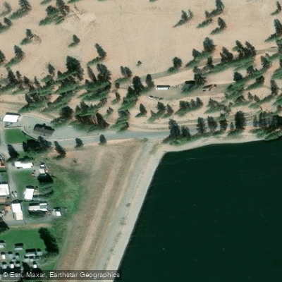
Learn how to get on North Fork Salmon Creek. Uncover great paddling access points, boat ramps, and all the facilities you need for an unforgettable day on the water. Some locations shown may border or include private property. Always check property boundaries and applicable regulations before visiting. PaddleWays's Public & Private Land layer can help you plan your access with confidence.
Paddle smarter with real-time insights
Whether you're en route and conditions shift or you're looking for the best spot based on current flows, we enable you to make informed decisions on the fly.








Find Places to Paddle

Over 400,000 Places to Paddle
Every user gets free access to launch points, boat ramps, and public property parcels.


Water and weather conditions (10 day forecast)
See the best times to paddle North Fork Salmon Creek and check the forecast before you go.
NORTH FORK SALMON CREEK NEAR CONCONULLY, WA
Paddling near North Fork Salmon Creek
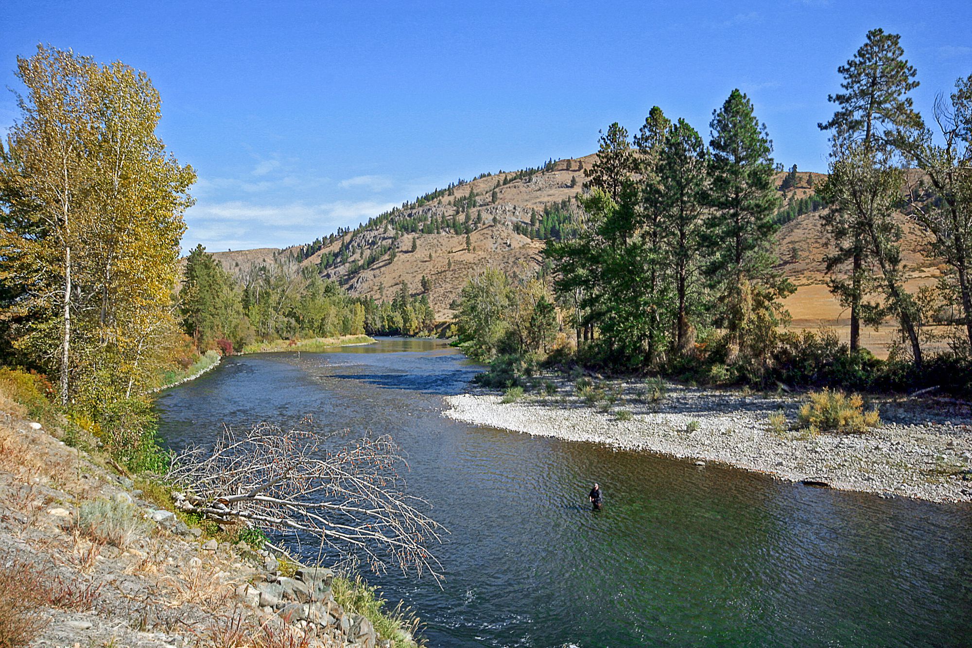
Methow River

Columbia River
Chewuch River
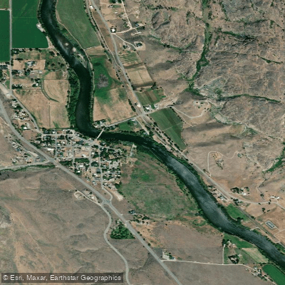
Okanogan River
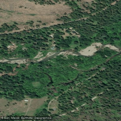
Twisp River
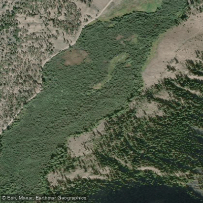
Sinlahekin Creek
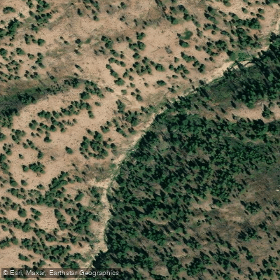
Pearrygin Creek
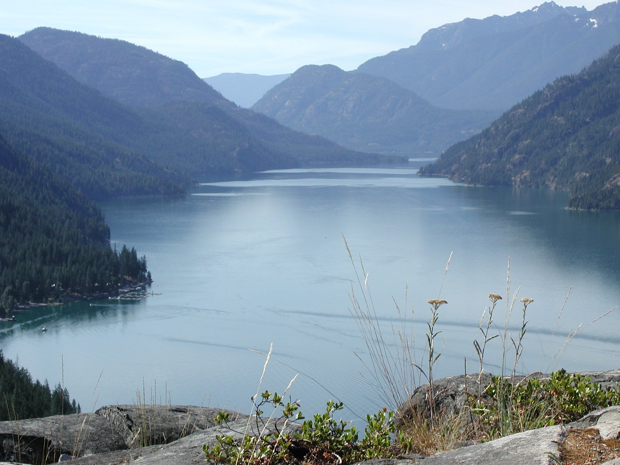
Lake Chelan
Similkameen River
Explore Washington waters
Top paddling waters
Popular Cities
Loading popular cities...
Explore near North Fork Salmon Creek
Access points
- Conconully Lake Access
- North Fork Salmon Creek Bridge
- North Fork Salmon Creek Bridge
- West Fork Salmon Creek Bridge
- Salmon Creek Bridge
- Salmon Creek Bridge
- Oriole Campground
- Kerr Campground
- Conconully Campground
- Salmon Meadows Lower Campground
- Conconully Lake Campground
- Salmon Meadows Upper Campground
- All 16 spots
Nearby waters
More in Washington

Smarter Paddling Starts in the App.
Paddleways gives you everything you need to plan smarter, paddle better, and own every trip from first launch to takeout.