North Fork Sauk River
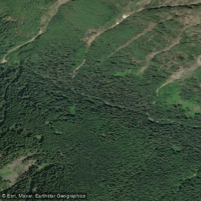
North Fork Sauk River
- Boat Ramps
- 1
- Access Points
- 1
- Campsites
- 5
The North Fork Sauk River is a pristine waterway nestled in the Glacier Peak Wilderness of Washington State. Originating high in the Cascade Mountains, this river flows generally westward, carving through rugged terrain before joining the main stem of the Sauk River. While the exact length is not specified, the river's watershed is an integral part of the greater Skagit River system. Contrary to many rivers in the region, the North Fork Sauk is not primarily known for its paddling opportunities. Instead, it serves as a backdrop for a popular hiking trail that parallels much of its course.
The river's most notable feature is the impressive 45-foot North Fork Sauk Falls, accessible via a short but steep 0.5-mile trail that descends about 200 feet to the base of the falls. The North Fork Sauk Trail extends nearly 9 miles with a challenging 5,087 feet of elevation gain, offering hikers a strenuous adventure through old-growth forests and along the river's banks. A common day trip destination is the Mackinaw Shelter, an 11-mile round trip with approximately 1,000 feet of elevation gain.
The area's flora is dominated by towering conifers typical of the Pacific Northwest, while fauna includes various species adapted to mountain ecosystems. Wildlife sightings may include deer, elk, and a variety of bird species.
Access to the North Fork Sauk River area begins at the North Fork Sauk Trailhead, which serves as the primary put-in point for hikers. The nearest town is Darrington, Washington, providing a base for supplies and accommodations.
The river and its surrounding wilderness hold cultural significance for local Native American tribes and have been part of the region's outdoor recreation history for generations. Today, it's a popular starting point for multi-day backpacking trips, with some hikers beginning at the North Fork Sauk River trail before connecting to the Pacific Crest Trail for longer journeys towards Steven's Pass.
Safety considerations are primarily related to hiking rather than water activities. Visitors should be prepared for steep terrain, changeable mountain weather, and the challenges of backcountry travel. As part of the Glacier Peak Wilderness, strict leave-no-trace principles apply, and permits may be required for overnight stays.
While not suitable for traditional paddling, the North Fork Sauk River offers a unique opportunity to experience a pristine mountain waterway on foot, making it a gem for hikers and nature enthusiasts in Washington's Cascade Range.
Water access, boat ramps & amenities
Learn how to get on North Fork Sauk River. Uncover great paddling access points, boat ramps, and all the facilities you need for an unforgettable day on the water. Some locations shown may border or include private property. Always check property boundaries and applicable regulations before visiting. PaddleWays's Public & Private Land layer can help you plan your access with confidence.
Paddle smarter with real-time insights
Whether you're en route and conditions shift or you're looking for the best spot based on current flows, we enable you to make informed decisions on the fly.








Find Places to Paddle

Over 400,000 Places to Paddle
Every user gets free access to launch points, boat ramps, and public property parcels.


Water and weather conditions (10 day forecast)
See the best times to paddle North Fork Sauk River and check the forecast before you go.
No forecast data available.
Paddling near North Fork Sauk River
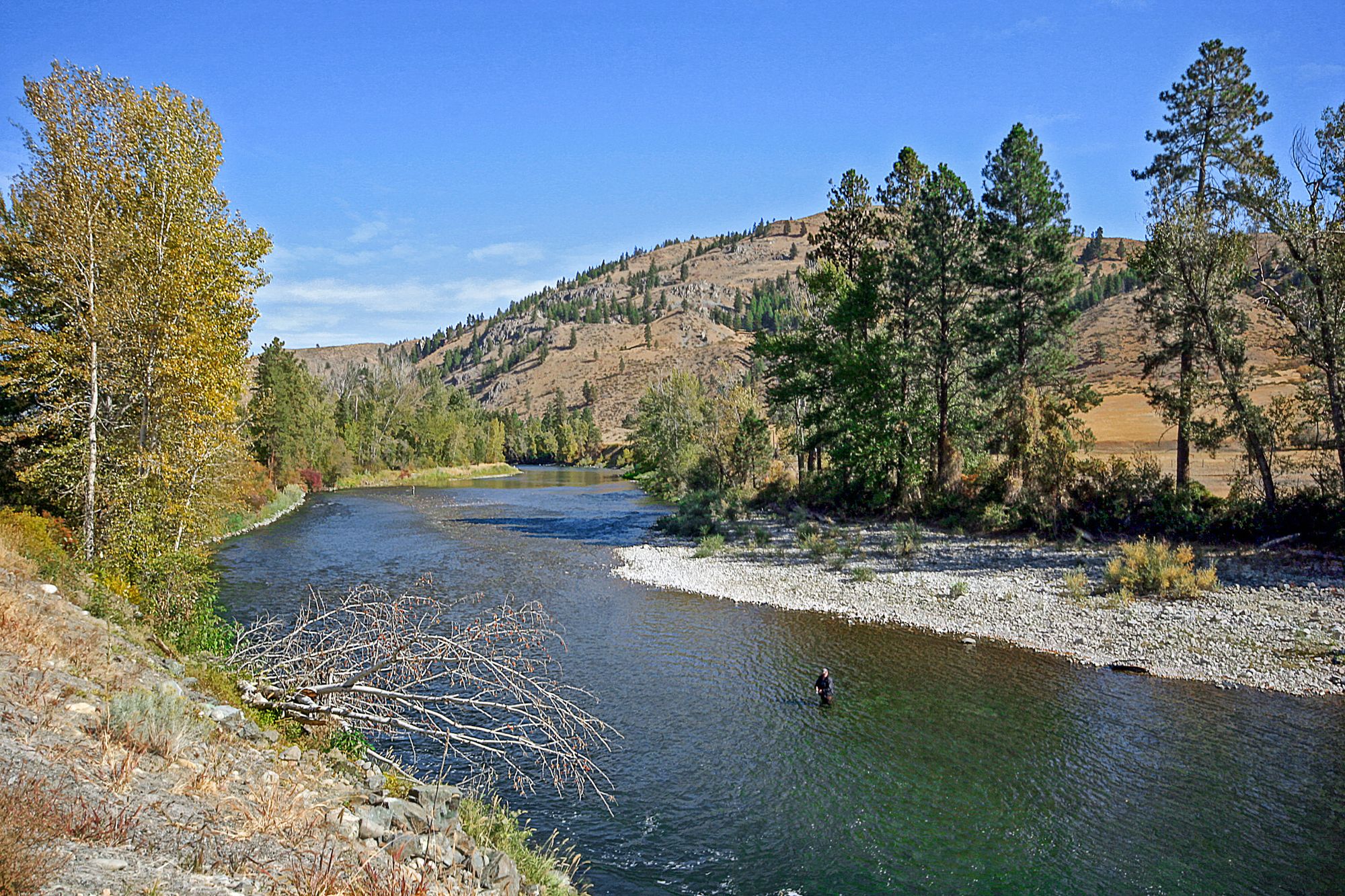
Methow River

Columbia River
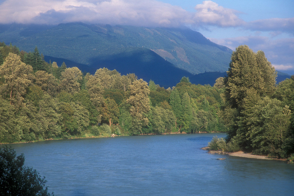
Skagit River
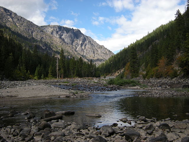
Wenatchee River
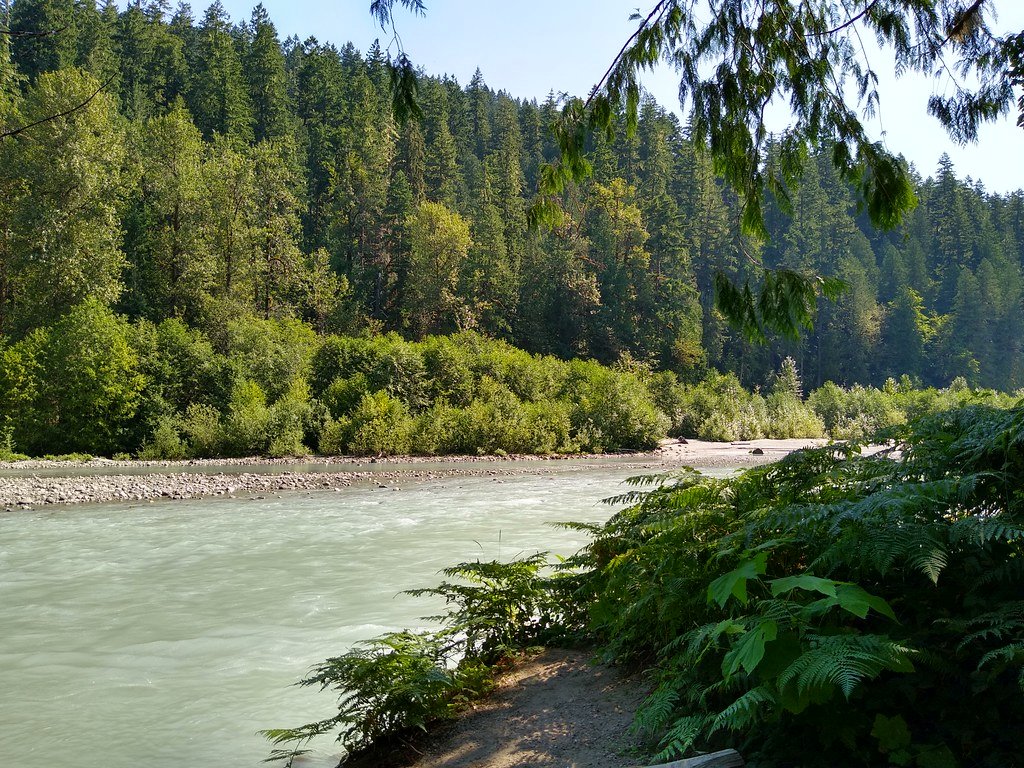
Sauk River
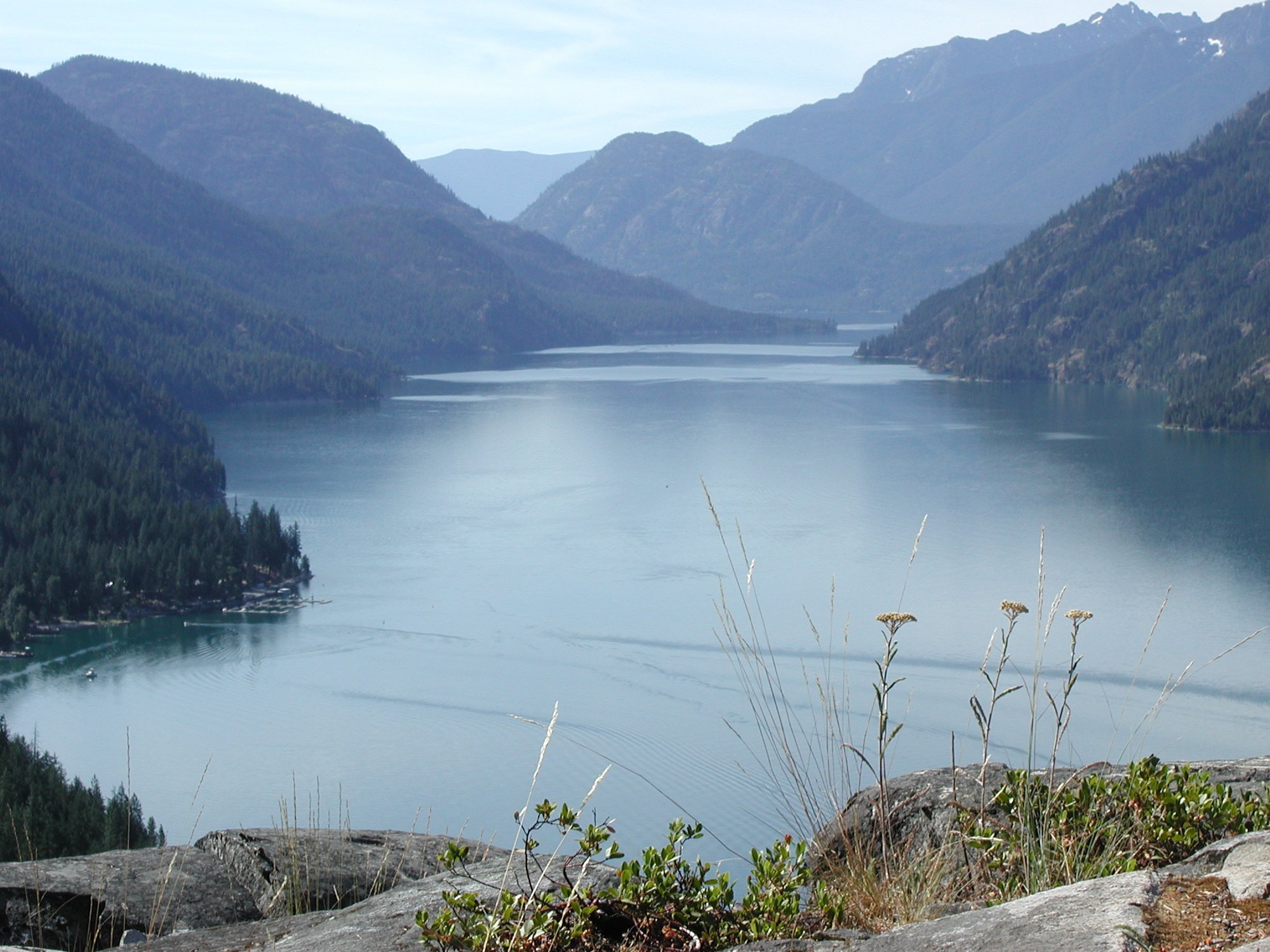
Lake Chelan
Twisp River
Entiat River
Railroad Creek
Explore Washington waters
Top paddling waters
Popular Cities
Loading popular cities...
Explore near North Fork Sauk River
Access points
Nearby waters
More in Washington

Smarter Paddling Starts in the App.
Paddleways gives you everything you need to plan smarter, paddle better, and own every trip from first launch to takeout.