Padilla Bay
- Saltwater
- Bay
Padilla Bay
- Saltwater
- Bay
- Sq. miles
- 24
- Boat Ramps
- 1
- Access Points
- 0
- Campsites
- 4
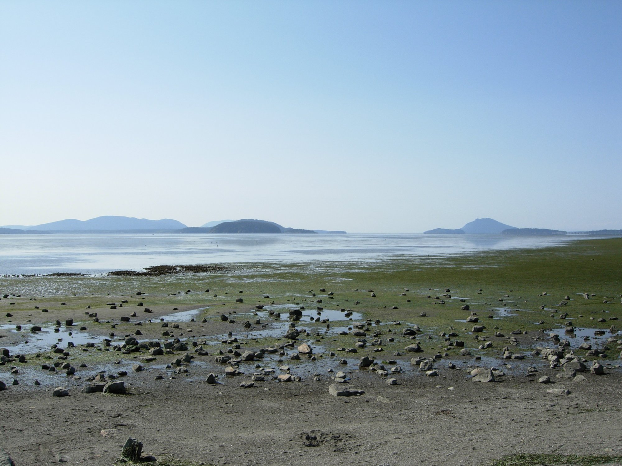
Padilla Bay is a large, shallow saltwater estuary located in Skagit County, Washington, USA. It is approximately eight miles long and three miles wide, forming part of the intertidal Skagit River delta where it meets the Salish Sea. The bay is characterized by its extensive mudflats and eelgrass beds, which become fully exposed during low tide. The average high-tide depth is only 6 to 8 feet, and at low tide, the bay floor is easily walked. This extreme tidal range is the primary consideration for paddlers, who must plan trips carefully to avoid being stranded on expansive mudflats. Tides lower than 3 feet begin to uncover sand bars. The bay's shallow nature and large surface area mean it can develop significant fetch, making it susceptible to wind-driven waves, though conditions are sheltered overall.
Key public launch points for paddlers include Bay View State Park, which offers a boat launch and requires only a short walk from the parking lot to the beach, and March Point, a public boat ramp located at 10298 March's Point Road. The Swinomish Channel Boat Launch, with two ramps, provides another access point near the northern entrance to the channel. The Padilla Bay National Estuarine Research Reserve features an interpretive center with exhibits, and while it has trails and an observation deck, its shoreline access for launching watercraft is limited to a beach reachable via a spiral staircase from the deck.
The bay is part of a major migratory bird corridor along the Pacific Flyway, offering exceptional wildlife viewing. The extensive eelgrass habitat supports a rich ecosystem, attracting herons, ducks, black brants, eagles, otters, and seals. Winter brings large flocks of snow geese. Paddlers can explore the bay itself or use it as a gateway to nearby islands such as Saddlebag, Hat, Guemes, Vendovi, Samish, and Cypress Islands, some of which host Cascadia Marine Trail campsites. Routes to these islands can vary in difficulty from Sea Kayak II to III+. The Swinomish Channel, connecting to the bay, offers calm, scenic paddling but also becomes very shallow at low tide, requiring tide table consultation. Boat traffic, particularly in the channel and near marinas, is a hazard to watch for. Standard rules apply for protected areas and Marine Trail campsites.
Water access, boat ramps & amenities
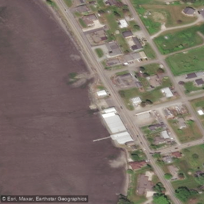
Learn how to get on Padilla Bay. Uncover great paddling access points, boat ramps, and all the facilities you need for an unforgettable day on the water. Some locations shown may border or include private property. Always check property boundaries and applicable regulations before visiting. PaddleWays's Public & Private Land layer can help you plan your access with confidence.
Paddle smarter with real-time insights
Whether you're en route and conditions shift or you're looking for the best spot based on current flows, we enable you to make informed decisions on the fly.








Find Places to Paddle

Over 400,000 Places to Paddle
Every user gets free access to launch points, boat ramps, and public property parcels.


Tides, wind & water conditions (10 day forecast)
On open water, wind and tide matter as much as the weather. See the best times to paddle Padilla Bay and check the marine forecast before you launch.
Loading tide predictions…
Paddling near Padilla Bay
Skagit River
Skagit Bay
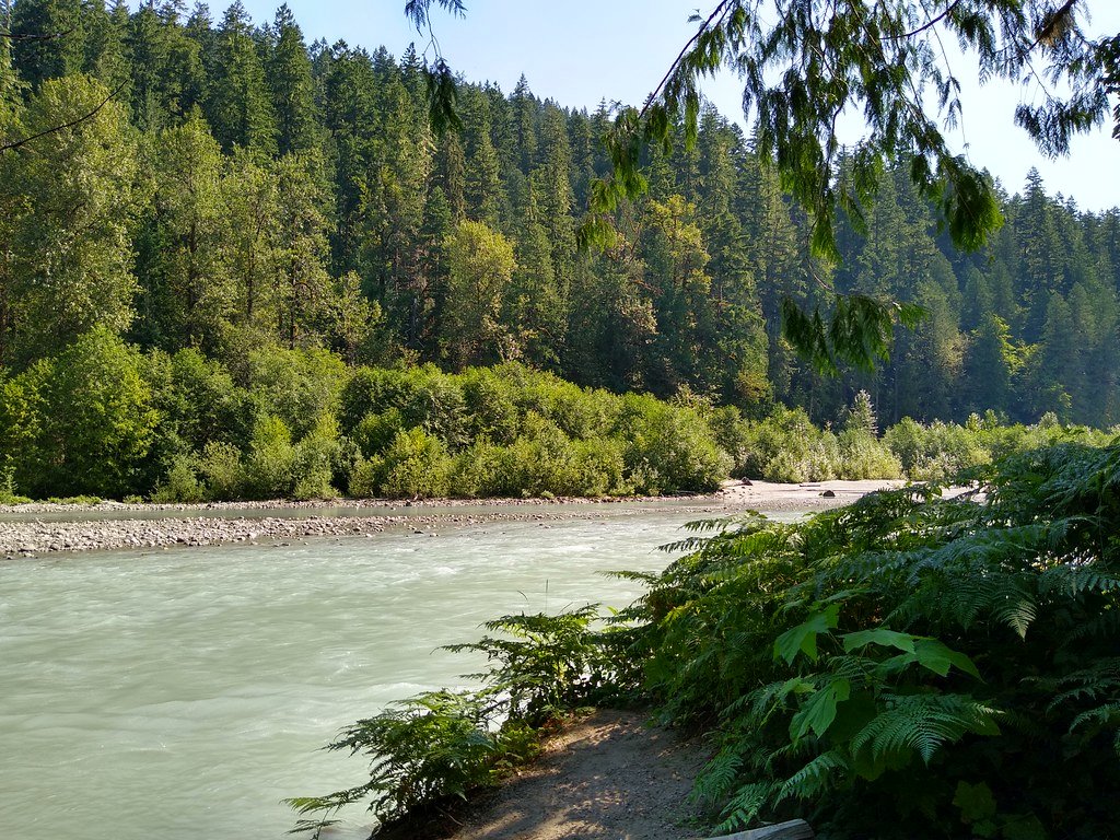
Sauk River
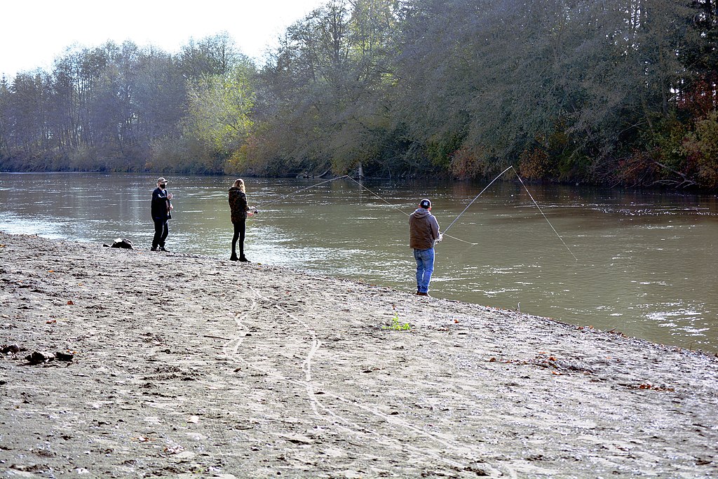
Nooksack River
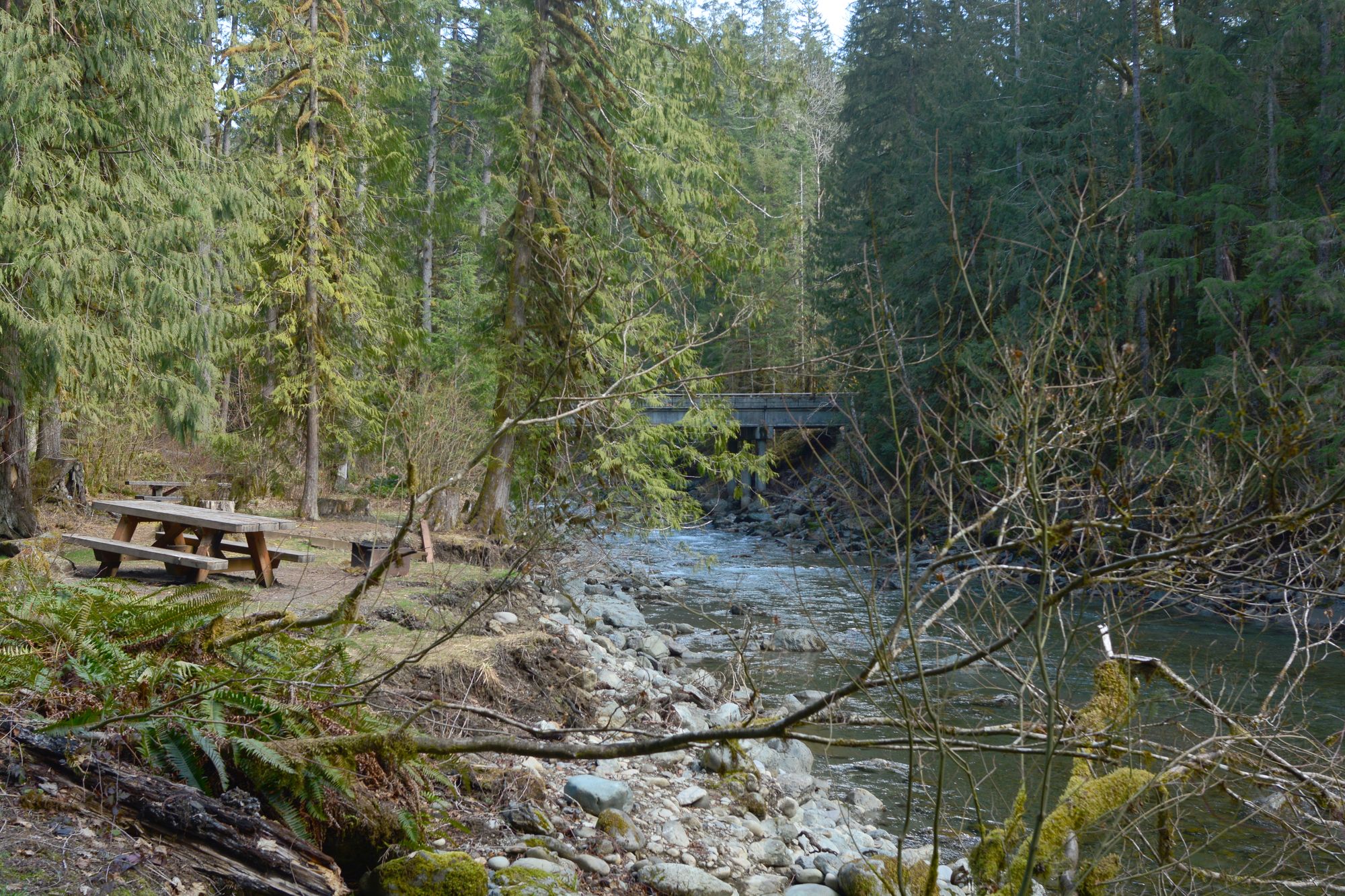
North Fork Nooksack River

Lake Washington
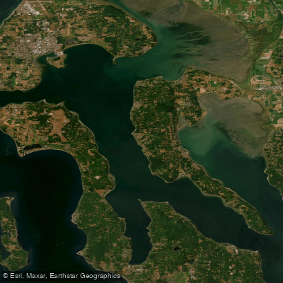
Saratoga Passage
Skykomish River
Explore Washington waters
Top paddling waters
Popular Cities
Loading popular cities...
Explore near Padilla Bay
Access points
Nearby waters
More in Washington

Smarter Paddling Starts in the App.
Paddleways gives you everything you need to plan smarter, paddle better, and own every trip from first launch to takeout.