Skagit Bay
- Saltwater
- Bay
Skagit Bay
- Saltwater
- Bay
- Sq. miles
- 44
- Boat Ramps
- 0
- Access Points
- 1
- Campsites
- 5
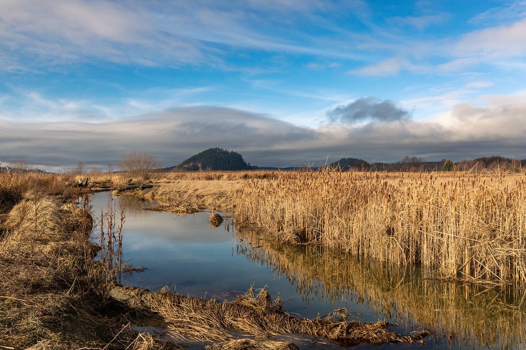
Skagit Bay is a shallow saltwater bay on the western edge of the Skagit River delta in Washington's Puget Sound. The bay is characterized by extensive mudflats and tidal flats that are exposed at low tide, a result of sediment deposits from the Skagit River. This geography makes tide planning critical for paddlers, as routes can become impassable mudflats during low water. The bay contains numerous small islands, including Skagit Island, Hope Island, Deadman Island, Little Deadman Island, and Goat Island, which offer scenic shorelines, rocky beaches, and forested interiors for exploration. A primary launch point for accessing these islands is the Cornet Bay watercraft launch within Deception Pass State Park, which requires a Discover Pass for parking and has an overnight unattended vehicle fee. Another launch site is Snee-oosh Beach on the Swinomish Indian Tribal Community west of LaConner. Paddlers must be mindful of currents, which can reach up to 2.5 knots in the bay, and stronger currents near the entrance to Deception Pass. Wind is a factor, with trips planned for conditions with maximum winds of 15 knots and waves up to 2.5 feet. The area is rich in wildlife, including bald eagles, harbor seals, and great blue herons. Overnight options include primitive camping on Skagit Island, which has a Cascadia Marine Trail site for human-powered craft, mooring buoys, and a vault toilet, though there is no potable water or garbage service. Camping is also available on Hope Island. The Skagit Bay Estuary Wildlife Area, accessible primarily by boat, offers additional paddling through intertidal areas and sloughs, but access is restricted by tides and river levels, and the unit is closed during hours of darkness. Paddlers should carry and understand a tide book, using Seattle's Puget Sound tides as a reference, and be prepared for cold water and potential fog.
Water access, boat ramps & amenities
Learn how to get on Skagit Bay. Uncover great paddling access points, boat ramps, and all the facilities you need for an unforgettable day on the water. Some locations shown may border or include private property. Always check property boundaries and applicable regulations before visiting. PaddleWays's Public & Private Land layer can help you plan your access with confidence.
Paddle smarter with real-time insights
Whether you're en route and conditions shift or you're looking for the best spot based on current flows, we enable you to make informed decisions on the fly.








Find Places to Paddle

Over 400,000 Places to Paddle
Every user gets free access to launch points, boat ramps, and public property parcels.


Tides, wind & water conditions (10 day forecast)
On open water, wind and tide matter as much as the weather. See the best times to paddle Skagit Bay and check the marine forecast before you launch.
Loading tide predictions…
Paddling near Skagit Bay
Skagit River
Strait of Juan de Fuca

Lake Washington
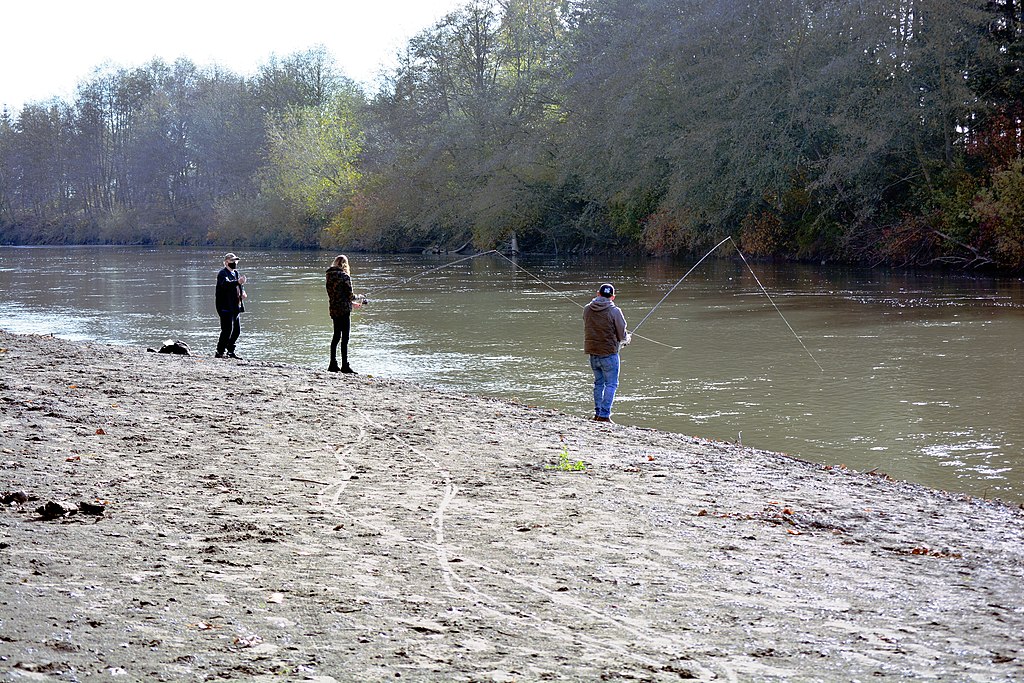
Nooksack River
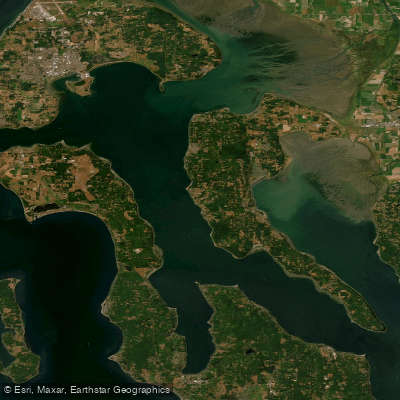
Saratoga Passage
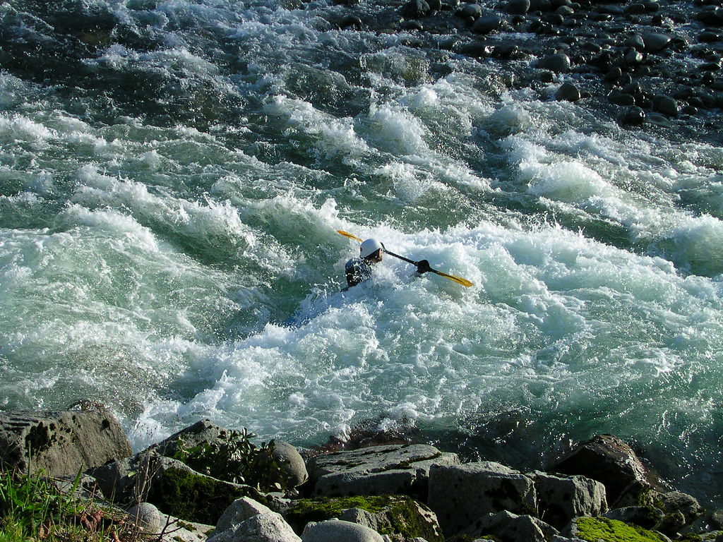
Skykomish River
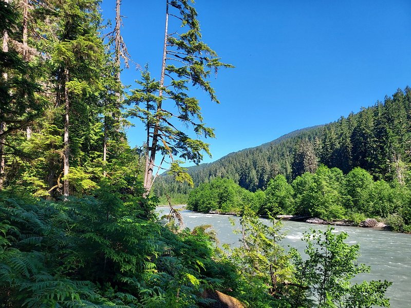
Snoqualmie River
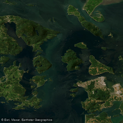
Rosario Strait
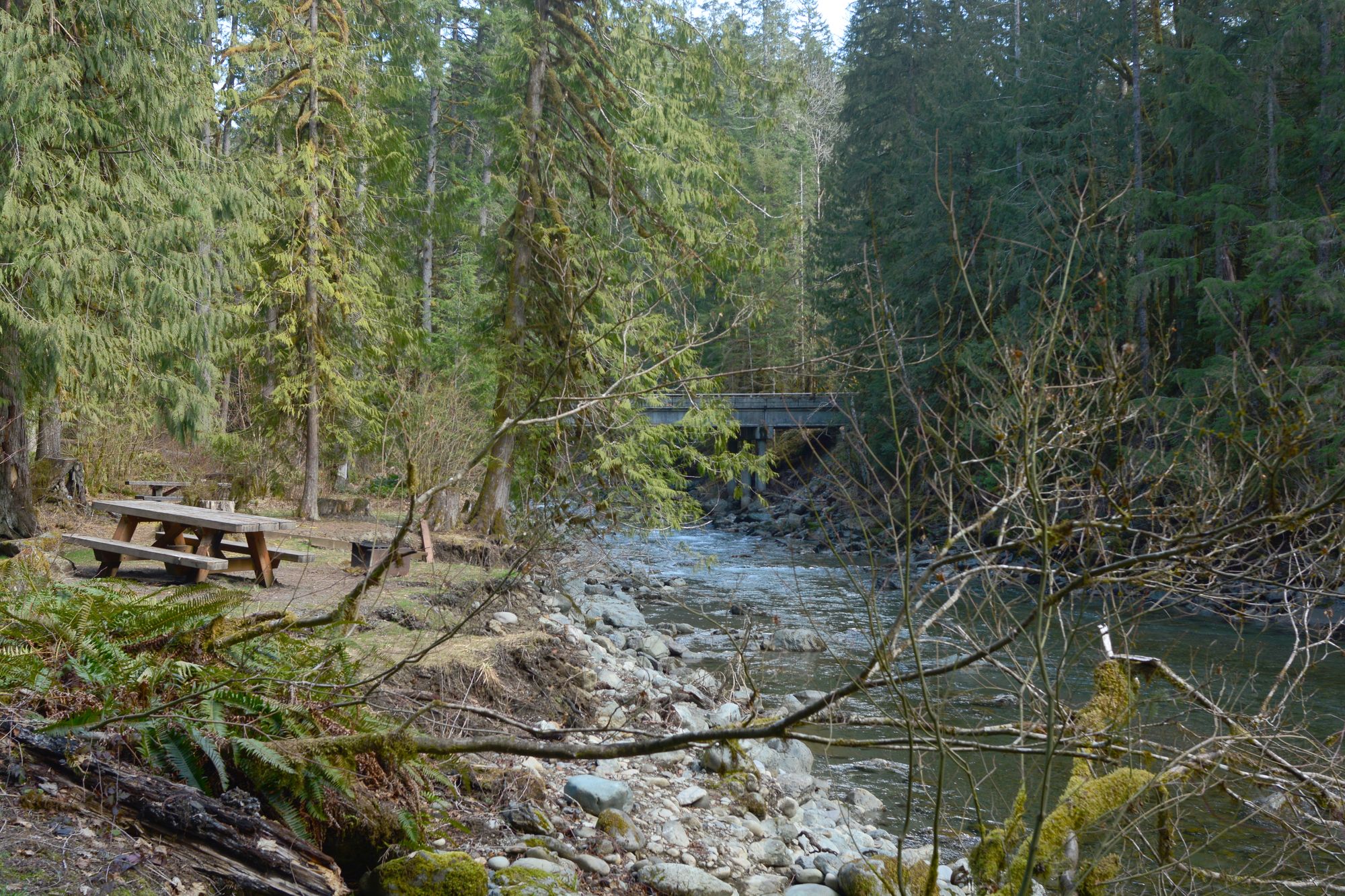
North Fork Nooksack River
Explore Washington waters
Top paddling waters
Popular Cities
Loading popular cities...
Explore near Skagit Bay
Access points
Nearby waters
More in Washington

Smarter Paddling Starts in the App.
Paddleways gives you everything you need to plan smarter, paddle better, and own every trip from first launch to takeout.