Port Susan
- Saltwater
- Bay
Port Susan
- Saltwater
- Bay
- Sq. miles
- 39
- Boat Ramps
- 2
- Access Points
- 0
- Campsites
- 3
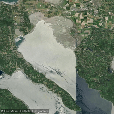
Port Susan is a bay of Puget Sound located in Washington State, USA, forming the water between the mainland near Stanwood and the eastern shore of Camano Island. It is a saltwater feature characterized by generally calm conditions, making it suitable for beginner and intermediate paddlers. The north end of the bay is partially sheltered from larger Salish Sea waters by shallow marshlands, which also results in relatively light motorized boat traffic, a benefit for kayakers, canoeists, and stand-up paddleboarders. Paddlers should, however, pay close attention to wind and weather, as the open water can become choppy. A key planning consideration is the tidal influence; while currents are relatively gentle compared to other parts of the Sound, paddling out against the wind or current is recommended to ensure an easier return trip. The tidal push and pull can make swimming back to shore challenging and significantly alter the depth and exposure of mudflats and sandbars, particularly in the estuarine channels near the mouths of the Stillaguamish and Snohomish Rivers.
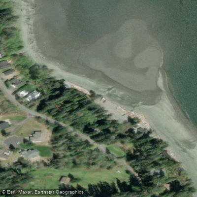
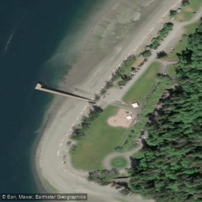
Primary public launch points include Kayak Point Regional County Park on the mainland, which offers a boat ramp and over 3,300 feet of shoreline, though day-use areas have undergone renovations and fees apply. On Camano Island, Tillicum Beach Park provides a small beach suitable for launching kayaks at both high and low tide, with very limited parking. Hamilton Landing Park in Stanwood offers a kayak and boat launch with access to the Stillaguamish River and Port Susan. A dedicated water trail campsite for kayakers is located at Kayak Point, though it has been subject to closures for park construction. The water is cold year-round, typical of the Salish Sea, and the sea floor near beaches is often rocky, recommending water shoes. The landscape features dramatic forested hillsides along parts of Camano Island, extensive marshlands, and offers opportunities to see herons, ospreys, and migratory birds. A recommended route for experienced paddlers is a circumnavigation of the northern part of Camano Island, which involves several open-water crossings of approximately 1.5 nautical miles and navigating tidal passes like South Pass and West Pass during higher tides.
Water access, boat ramps & amenities
Learn how to get on Port Susan. Uncover great paddling access points, boat ramps, and all the facilities you need for an unforgettable day on the water. Some locations shown may border or include private property. Always check property boundaries and applicable regulations before visiting. PaddleWays's Public & Private Land layer can help you plan your access with confidence.
Paddle smarter with real-time insights
Whether you're en route and conditions shift or you're looking for the best spot based on current flows, we enable you to make informed decisions on the fly.








Find Places to Paddle

Over 400,000 Places to Paddle
Every user gets free access to launch points, boat ramps, and public property parcels.


Tides, wind & water conditions (10 day forecast)
On open water, wind and tide matter as much as the weather. See the best times to paddle Port Susan and check the marine forecast before you launch.
Loading tide predictions…
Paddling near Port Susan
Skagit River
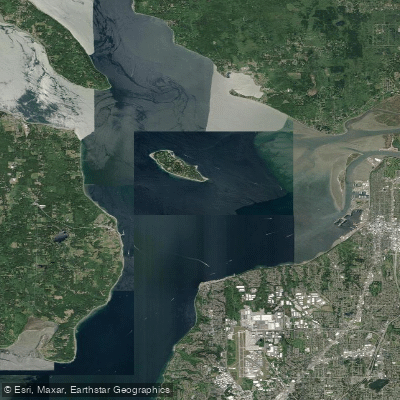
Possession Sound

Lake Washington
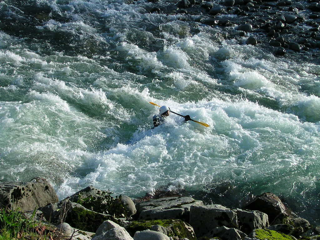
Skykomish River
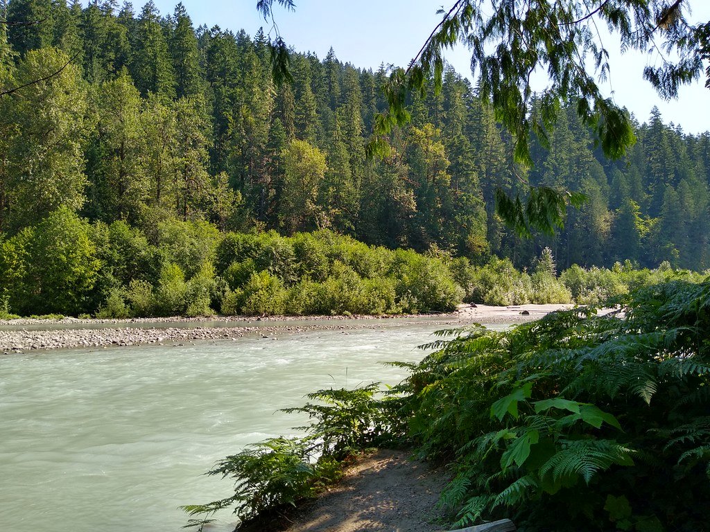
Sauk River
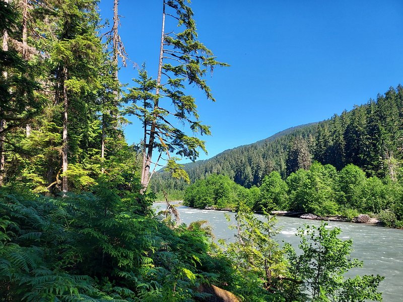
Snoqualmie River
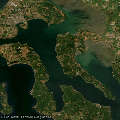
Saratoga Passage
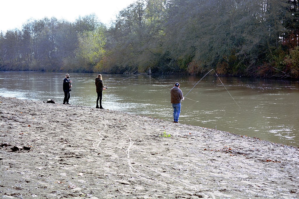
Nooksack River
Explore Washington waters
Top paddling waters
Popular Cities
Loading popular cities...
Explore near Port Susan
Access points
Nearby waters
More in Washington

Smarter Paddling Starts in the App.
Paddleways gives you everything you need to plan smarter, paddle better, and own every trip from first launch to takeout.