Ruby Arm
- Saltwater
- Bay
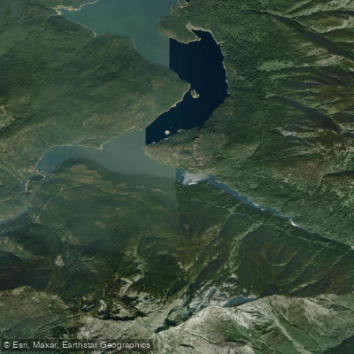
Ruby Arm
- Saltwater
- Bay
- Sq. miles
- 0.4
- Boat Ramps
- 0
- Access Points
- 0
- Campsites
- 19
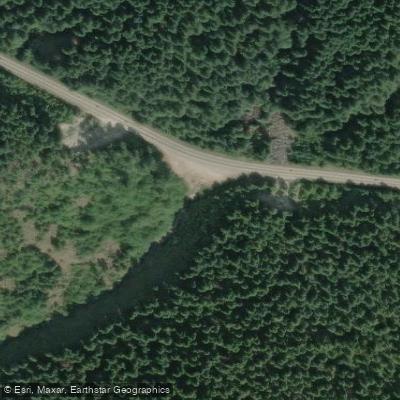
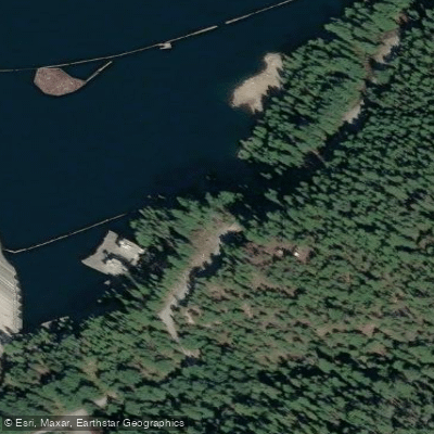
Ruby Arm is a scenic, narrow inlet forming the southernmost section of Ross Lake within North Cascades National Park in Washington State. It is a freshwater lake arm, not a tidal coastal feature. Access for paddlers is unique due to the lack of direct road access to Ross Lake. The primary method is a paid shuttle service operated by Ross Lake Resort, which transports boats and paddlers from the Diablo Lake boat launch around Ross Dam to a drop-off point on Ross Lake, opposite the resort. An alternative, more strenuous option is to carry gear down the East Bank Trail to reach the water's edge of Ruby Arm, though this involves a significant portage. The lake is known for strong afternoon winds that can create challenging conditions, making many paddlers prefer to stick to the lower end of the lake unless entering from the far north. The length of the lake and these wind patterns mean a paddle into Ruby Arm from the main drop-off point is a commitment of several miles. The arm itself is noted for its forested, mountainous scenery and offers access to specific features like cliffs suitable for swimming and jumping near Hidden Cove. Several backcountry, boat-in campsites are located along the shores of Ross Lake, including some up Ruby Arm, such as Green Point Campground. A backcountry permit from the National Park Service is required for any overnight stay. The water is clear and cold, with the surrounding peaks providing a dramatic backdrop. The overall experience is one of remote, flat-water paddling in a rugged wilderness setting, with logistics that require advance planning for shuttle services and permits.
Water access, boat ramps & amenities
Learn how to get on Ruby Arm. Uncover great paddling access points, boat ramps, and all the facilities you need for an unforgettable day on the water. Some locations shown may border or include private property. Always check property boundaries and applicable regulations before visiting. PaddleWays's Public & Private Land layer can help you plan your access with confidence.


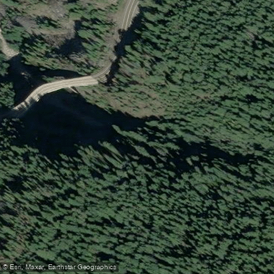
Paddle smarter with real-time insights
Whether you're en route and conditions shift or you're looking for the best spot based on current flows, we enable you to make informed decisions on the fly.








Find Places to Paddle

Over 400,000 Places to Paddle
Every user gets free access to launch points, boat ramps, and public property parcels.


Tides, wind & water conditions (10 day forecast)
On open water, wind and tide matter as much as the weather. See the best times to paddle Ruby Arm and check the marine forecast before you launch.
Loading tide predictions…
Paddling near Ruby Arm
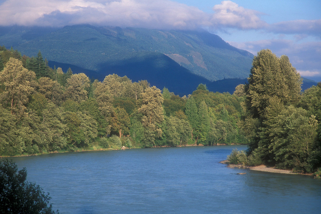
Skagit River
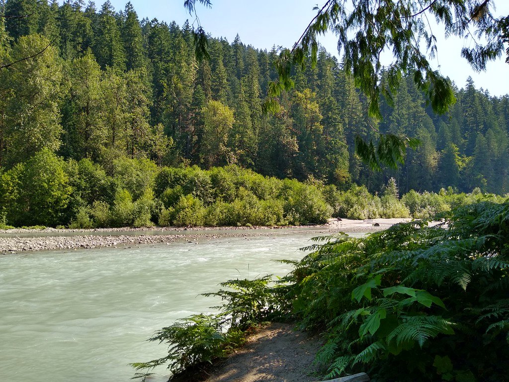
Sauk River
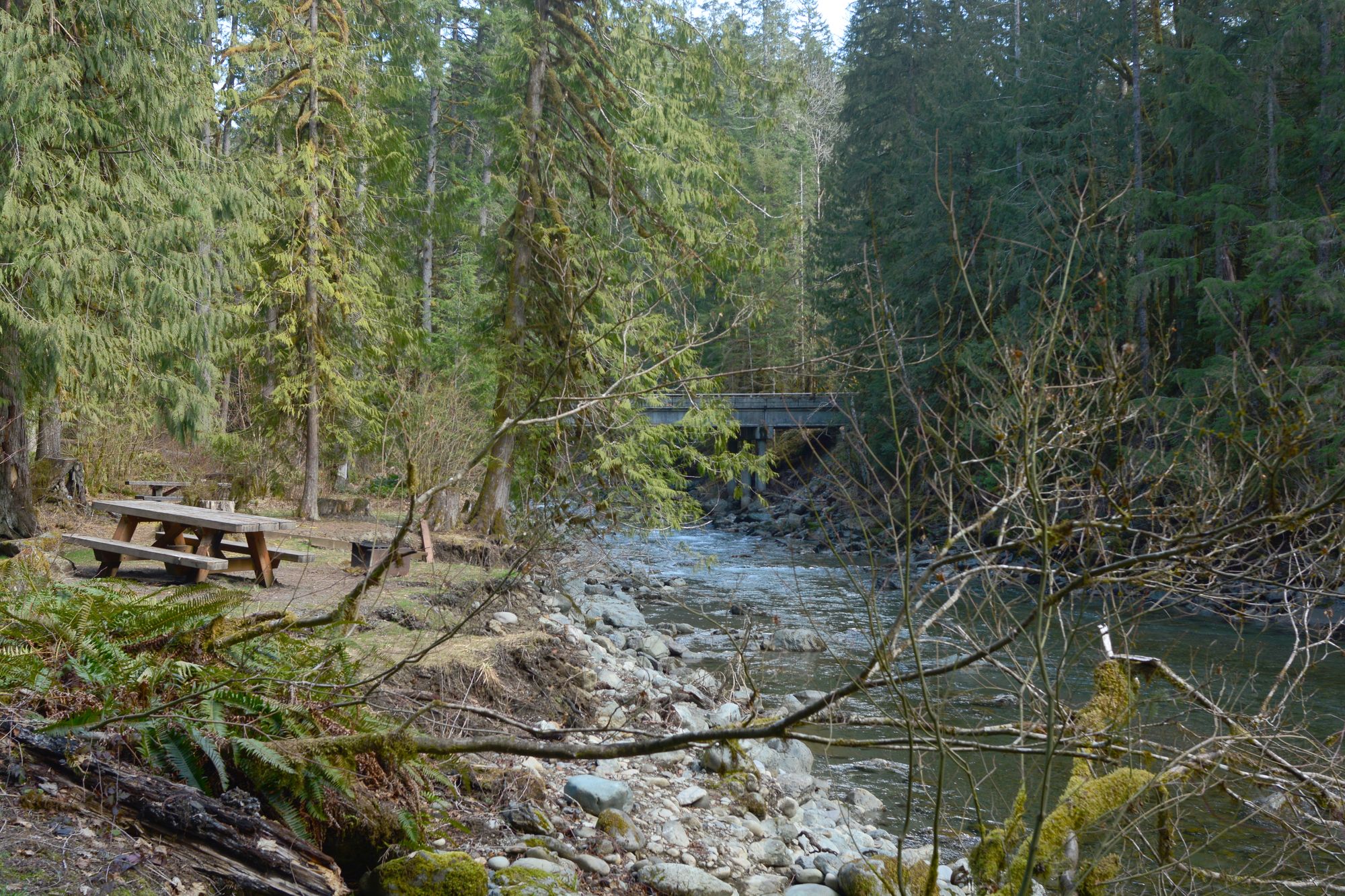
North Fork Nooksack River
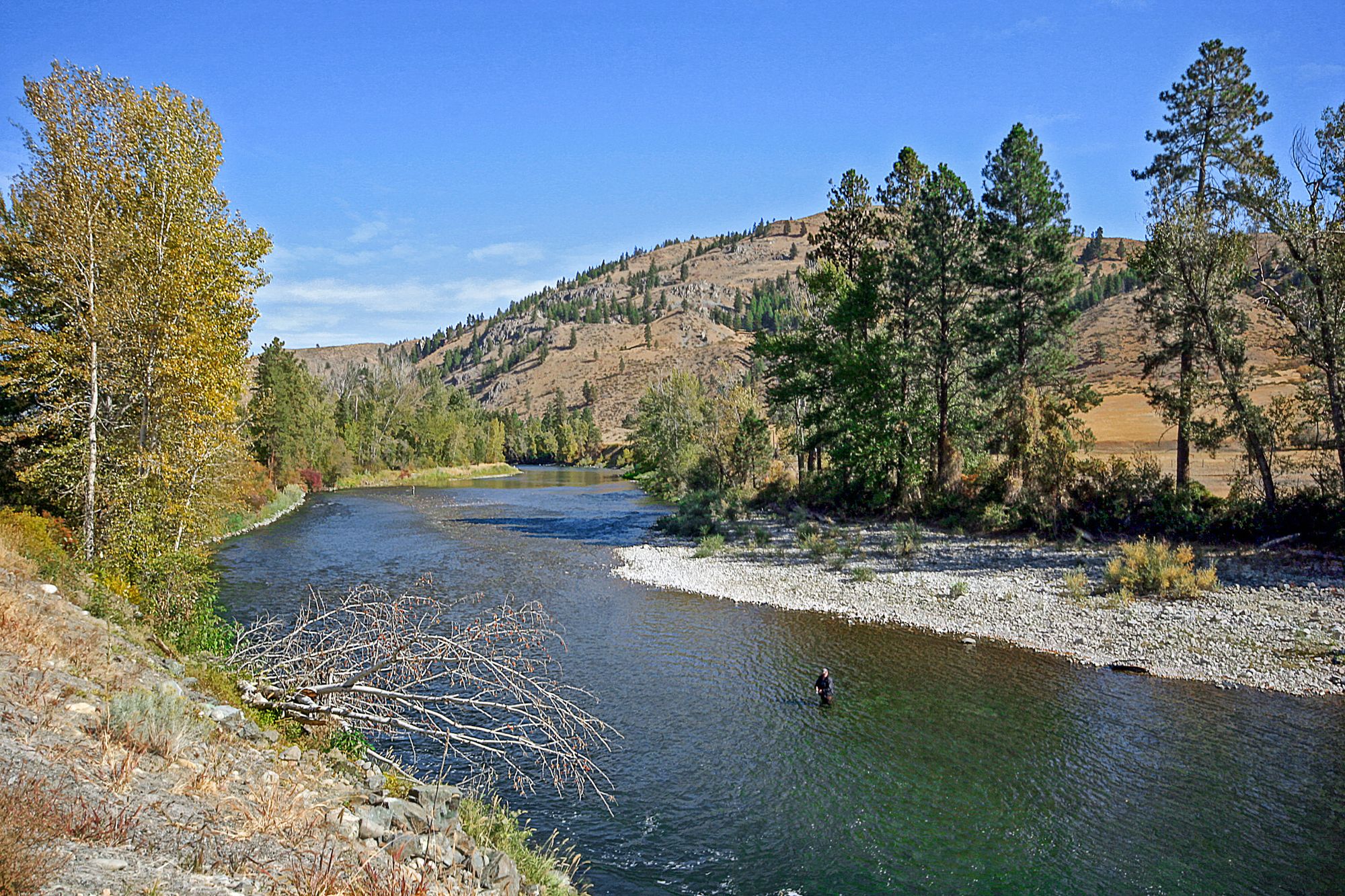
Methow River
Baker River
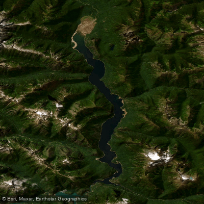
Ross Lake
North Fork Stillaguamish River

Copper Creek
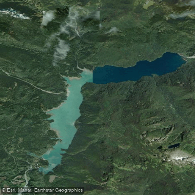
Baker Lake
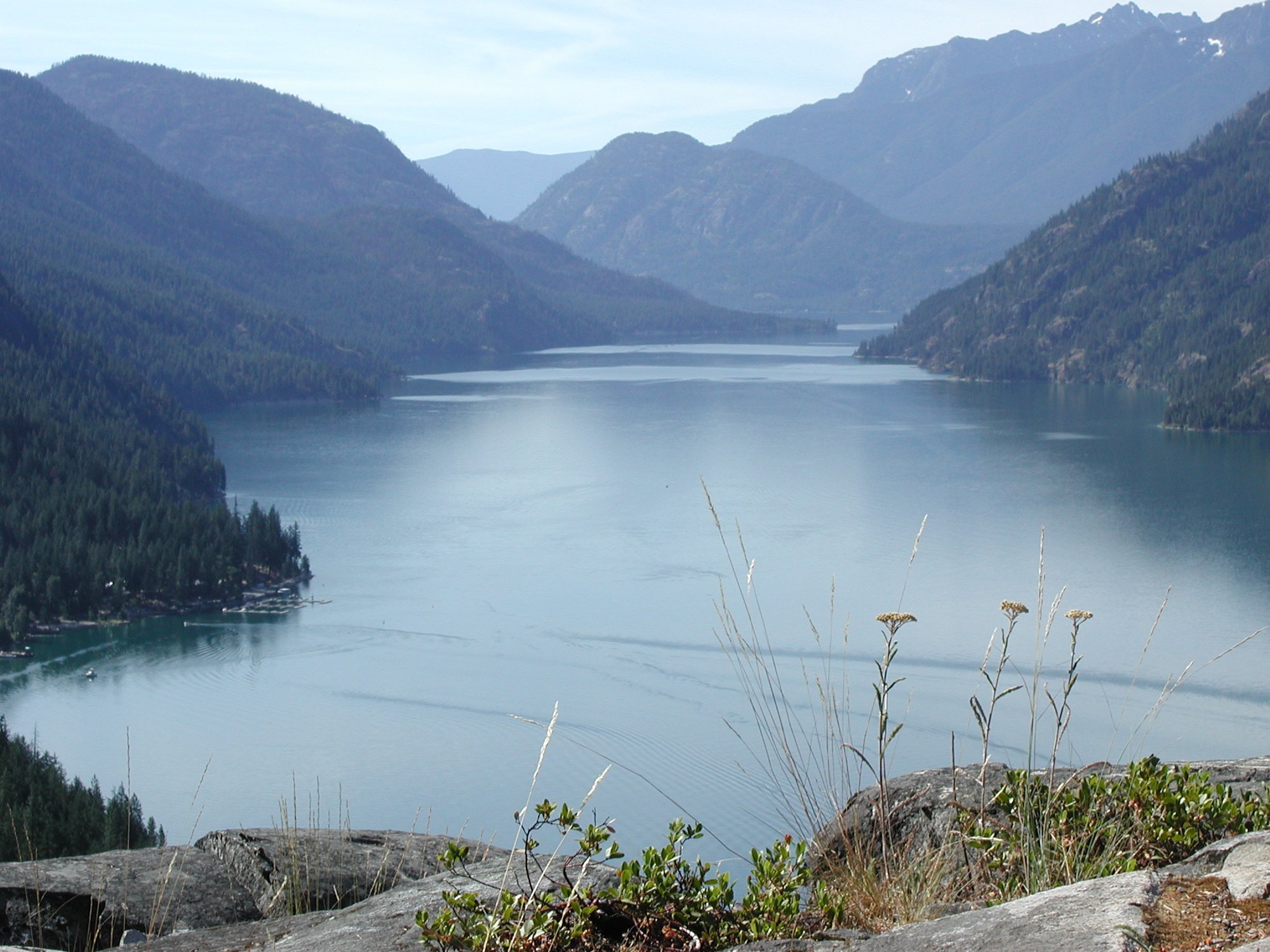
Lake Chelan
Explore Washington waters
Top paddling waters
Popular Cities
Loading popular cities...
Explore near Ruby Arm
Access points
Nearby waters
More in Washington

Smarter Paddling Starts in the App.
Paddleways gives you everything you need to plan smarter, paddle better, and own every trip from first launch to takeout.