North Fork Stillaguamish River
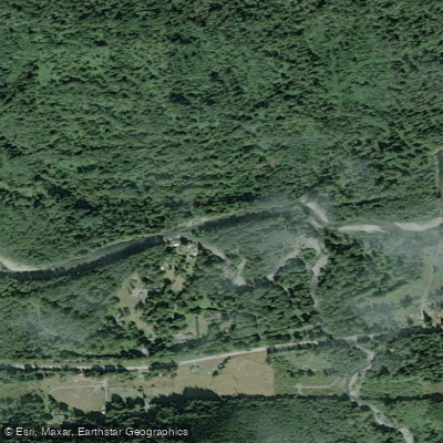
North Fork Stillaguamish River
- Boat Ramps
- 5
- Access Points
- 6
- Campsites
- 13
The North Fork Stillaguamish River, locally known as the North Fork Stilly, is a major tributary of the Stillaguamish River in northwestern Washington. Originating from spring-fed tributaries on the slopes of North Mountain at an elevation of about 2,500 feet, the river flows westward through Snohomish County before joining the South Fork near Arlington to form the main stem Stillaguamish. This scenic river offers diverse paddling opportunities across its approximately 45-mile length.
The upper section, from its forested headwaters to pasture lands, provides a scenic Class II-III run suitable for intermediate paddlers. As the river gains volume, it enters a more challenging 8-mile Class V stretch from the confluence with the South Branch to the bridge below Moose Creek, featuring intense rapids that demand advanced whitewater skills. Below this, a 25.7-mile Class II section from Moose Creek to Oso offers a more relaxed experience through the picturesque landscape of Snohomish County. The North Fork Stilly's difficulty ranges from Class I to V, accommodating beginners to expert paddlers.
The river is best run in spring and early summer when snowmelt provides optimal flows, though sections are paddleable year-round. Fall brings excellent opportunities for viewing spawning salmon and migrating bald eagles. The river corridor supports diverse ecosystems, with forests of cottonwoods and alders lining the banks. Wildlife includes deer, elk, and various bird species. The river is renowned for its salmon and steelhead runs, making it a popular destination for anglers.
Key access points include unspecified forest areas in the upper reaches, the confluence with the South Branch, Moose Creek, and Oso. The nearby towns of Darrington and Arlington serve as good bases for river trips.
Historically, the North Fork Stillaguamish played a significant role in logging operations and was the first river in Washington designated as fly-fishing only for part of the year, highlighting its importance to conservation efforts.
Safety considerations include swift currents, cold water, and wood hazards. Paddlers should be aware of seasonal regulations and obtain necessary permits, particularly for the Canyon Creek tributary which requires a permit from the Washington Department of Fish and Wildlife. While primarily suited for day trips, the river's length and multiple access points allow for potential multi-day adventures for experienced paddlers who are well-prepared for self-supported wilderness travel.
Water access, boat ramps & amenities
Learn how to get on North Fork Stillaguamish River. Uncover great paddling access points, boat ramps, and all the facilities you need for an unforgettable day on the water. Some locations shown may border or include private property. Always check property boundaries and applicable regulations before visiting. PaddleWays's Public & Private Land layer can help you plan your access with confidence.
Paddle smarter with real-time insights
Whether you're en route and conditions shift or you're looking for the best spot based on current flows, we enable you to make informed decisions on the fly.








Find Places to Paddle

Over 400,000 Places to Paddle
Every user gets free access to launch points, boat ramps, and public property parcels.


Water and weather conditions (10 day forecast)
See the best times to paddle North Fork Stillaguamish River and check the forecast before you go.
NF STILLAGUAMISH R AT C-POST BRIDGE NEAR OSO, WA
All Flow Stations
Paddling near North Fork Stillaguamish River
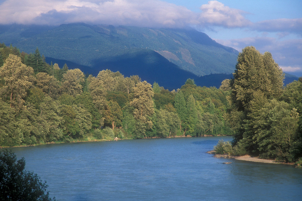
Skagit River
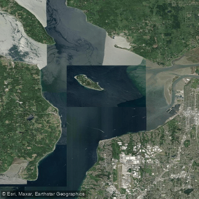
Possession Sound

Lake Washington
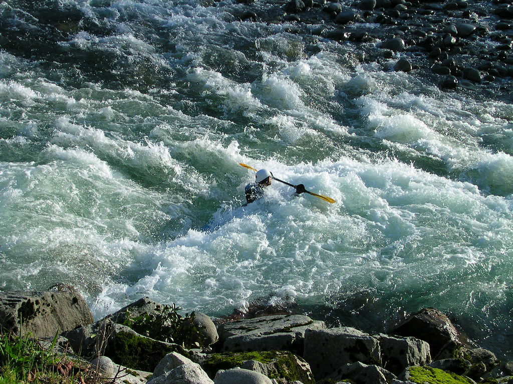
Skykomish River
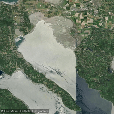
Port Susan
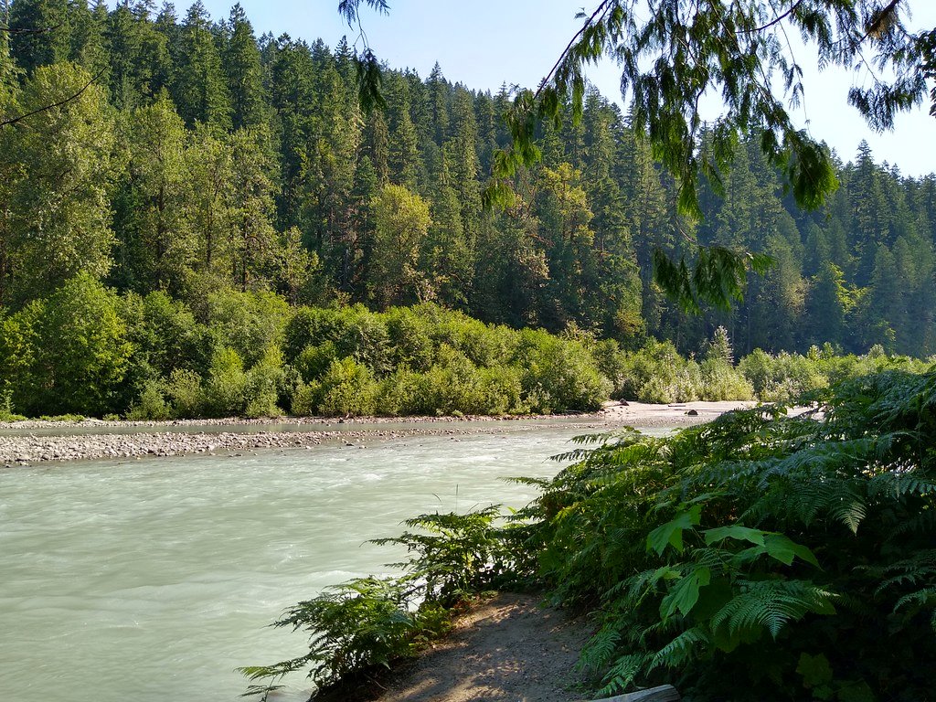
Sauk River
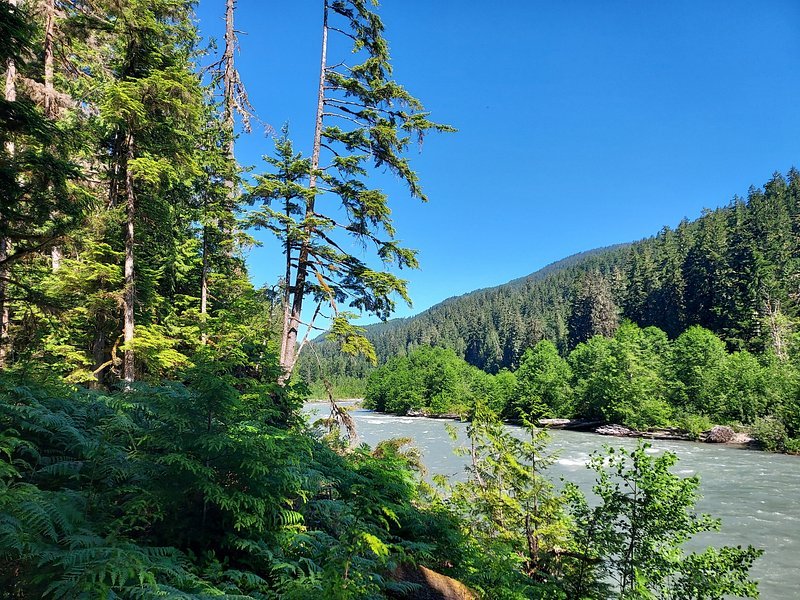
Snoqualmie River
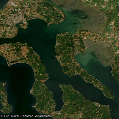
Saratoga Passage
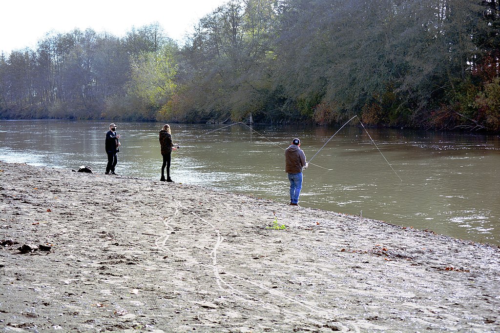
Nooksack River
Explore Washington waters
Top paddling waters
Popular Cities
Loading popular cities...
Explore near North Fork Stillaguamish River
Access points
- Oso Loop Road Boat Ramp
- Swede Heaven Road Boat Ramp
- Highway 530 Bridge Boat Ramp
- Highway 530 Bridge Boat Ramp
- Boat Ramp
- Hazel Access
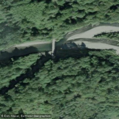
- North Fork Stilly River Bridge
- North Fork Stillaguamish River Bridge
- North Fork Stilliguamish River Bridge
- Crevice Creek Bridge
- Grant Creek Bridge
- Segelson Creek Bridge
- All 45 spots
Nearby waters
More in Washington

Smarter Paddling Starts in the App.
Paddleways gives you everything you need to plan smarter, paddle better, and own every trip from first launch to takeout.