Thunder Arm
- Saltwater
- Bay
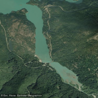
Thunder Arm
- Saltwater
- Bay
- Sq. miles
- 0.4
- Boat Ramps
- 1
- Access Points
- 0
- Campsites
- 14
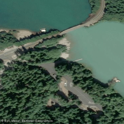
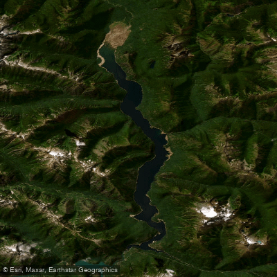
Thunder Arm is the northwestern arm of Diablo Lake, a reservoir on the Skagit River within North Cascades National Park in Washington, USA. The primary and standard launch point for paddlers is at Colonial Creek, located off Washington State Route 20. This area provides a campground and a boat launch, though the ramp is noted to have silted in, making it suitable only for hand-launching kayaks, canoes, or paddleboards. Parking is available in a large lot above the ramp. The Thunder Arm Beach Trail, a very short walk, also leads to the water's edge. From the Colonial Creek launch, paddlers move down Thunder Arm to enter the main body of Diablo Lake. The water is famously a vibrant turquoise or milky aquamarine color year-round, a result of glacial flour suspended in the water. The scenery is alpine and grand, with steep, serrated mountains surrounding the lake. The paddling season is generally from late spring through early fall, as the highway closes in winter. Mornings are typically the calmest period on the water, with winds often picking up in the afternoon, sometimes exceeding 10 knots and creating waves, particularly when paddling the length of the arm. The water is glacier-fed and cold throughout the year. A key navigational feature is a boat passage barrier or boom that must be passed to transition from Thunder Arm into the main lake; paddlers should stay well clear of the dam structures at the far western end of Diablo Lake. Popular routes include paddling up Thunder Arm from Colonial Creek, exploring the inlets and shoreline, and continuing into the main lake. Boat-in campsites are available for multi-day trips, requiring a backcountry permit, and are on a first-come, first-served basis. The area sees other boat traffic, including a Seattle City Light ferry that shuttles to a dock on the main lake.
Water access, boat ramps & amenities
Learn how to get on Thunder Arm. Uncover great paddling access points, boat ramps, and all the facilities you need for an unforgettable day on the water. Some locations shown may border or include private property. Always check property boundaries and applicable regulations before visiting. PaddleWays's Public & Private Land layer can help you plan your access with confidence.
Paddle smarter with real-time insights
Whether you're en route and conditions shift or you're looking for the best spot based on current flows, we enable you to make informed decisions on the fly.








Find Places to Paddle

Over 400,000 Places to Paddle
Every user gets free access to launch points, boat ramps, and public property parcels.


Tides, wind & water conditions (10 day forecast)
On open water, wind and tide matter as much as the weather. See the best times to paddle Thunder Arm and check the marine forecast before you launch.
Loading tide predictions…
Paddling near Thunder Arm
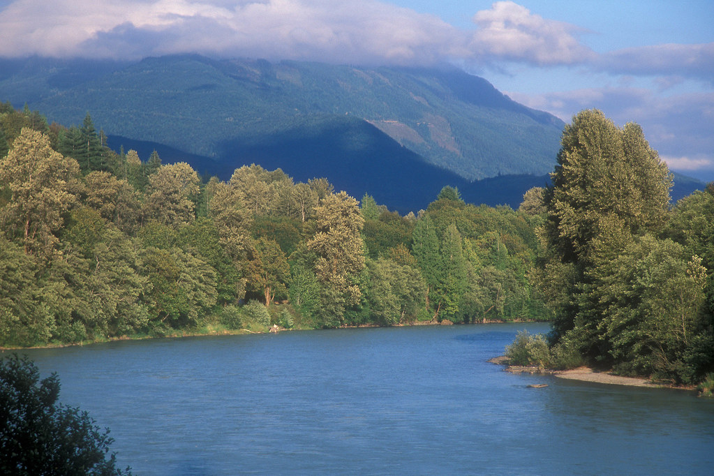
Skagit River
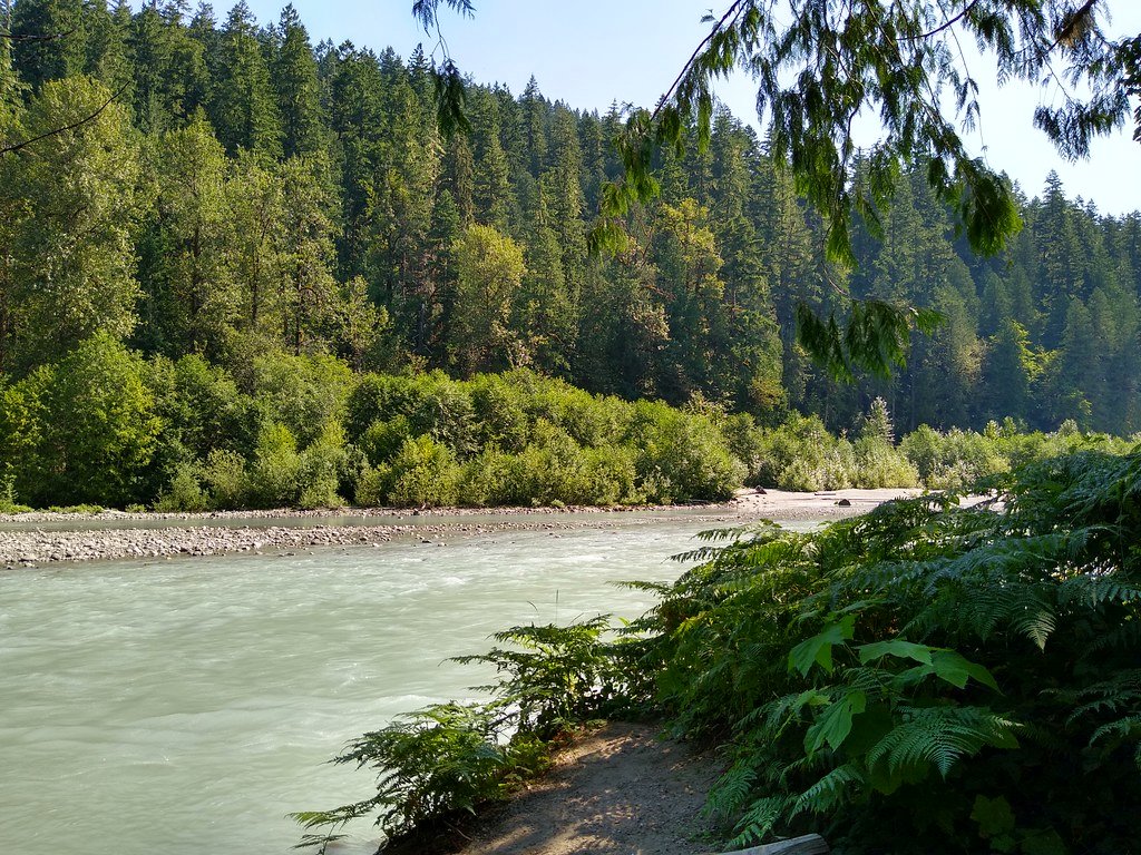
Sauk River
North Fork Nooksack River
Methow River
Baker River
Ross Lake
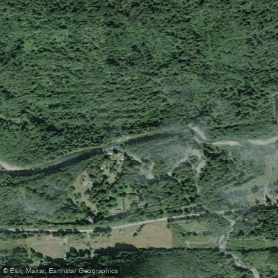
North Fork Stillaguamish River
Copper Creek
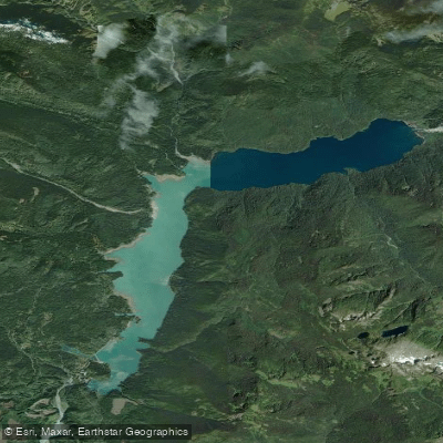
Baker Lake
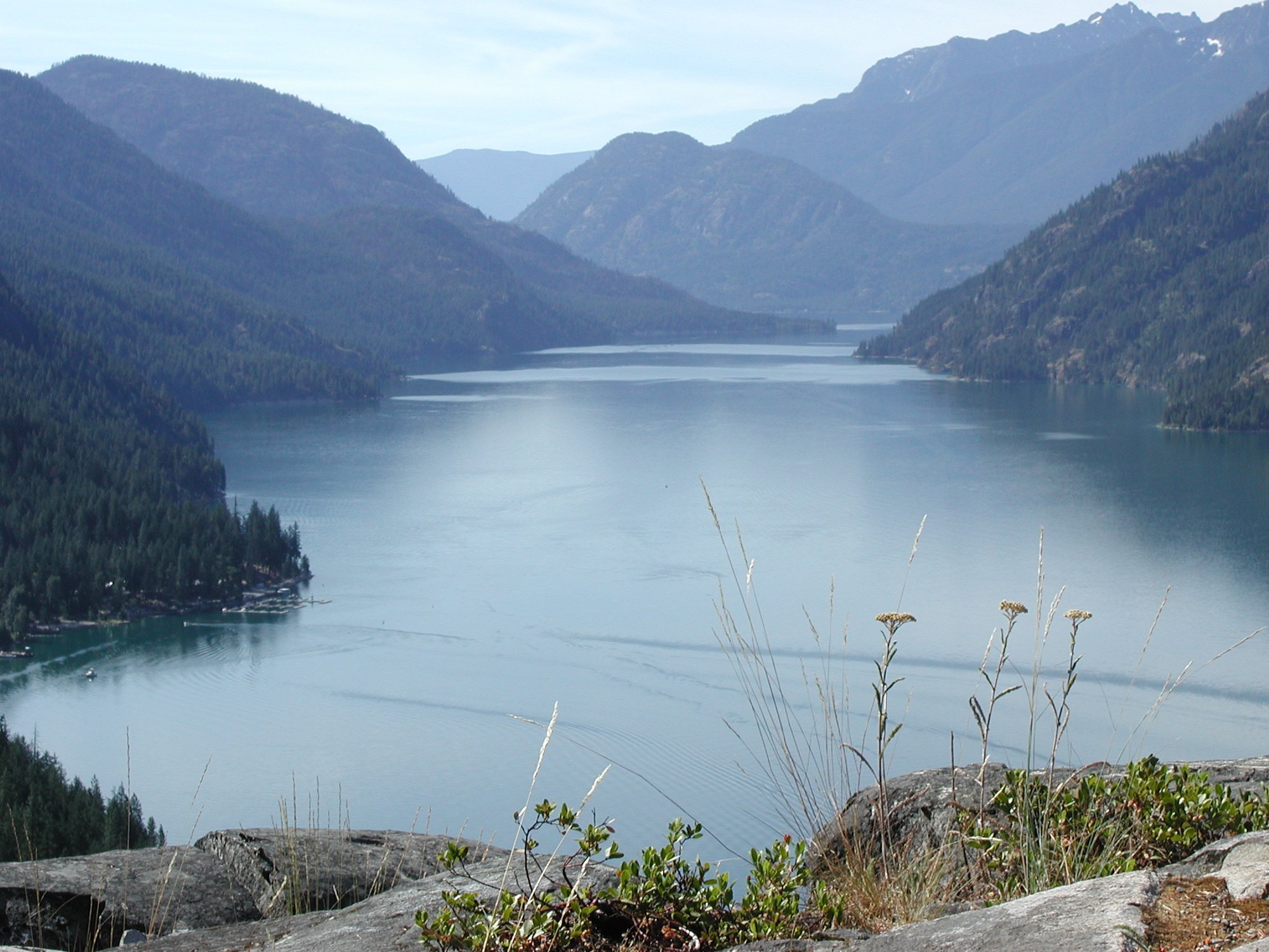
Lake Chelan
Explore Washington waters
Top paddling waters
Popular Cities
Loading popular cities...
Explore near Thunder Arm
Access points
Nearby waters
More in Washington

Smarter Paddling Starts in the App.
Paddleways gives you everything you need to plan smarter, paddle better, and own every trip from first launch to takeout.