
Curated by PaddleWays

Sandstone Flowage Dam to Crivitz

4.8 mi flatwater route on the Peshtigo River in Wisconsin


Map of the Sandstone Flowage Dam to Crivitz route, from Sandstone Flowage Dam to Don Brooks Memorial Park Boat Ramp
  • Route
  • Put-in
  • Take-out
  • Hazards

Level right now

How Sandstone Flowage Dam to Crivitz is running today

Route facts

Sandstone Flowage Dam to Crivitz at a glance

Distance
4.8 mi
Paddle time
~1.5 hrs
Type
Flatwater · Class I–II
Good for
Beginners and families
Boats
Kayak and canoe

About this route

Paddling Sandstone Flowage Dam to Crivitz

The Sandstone Flowage Dam to Crivitz section of the Peshtigo River offers a pleasant paddling experience with some minor rapids and flowage paddling.

This 4.8-mile stretch is suitable for canoes and kayaks, providing a mix of moving water and calm flowage areas. While not as challenging as some upstream sections, it still offers scenic views and opportunities for wildlife observation.

This section is ideal for those looking for a more relaxed paddling experience or as a cool-down after tackling the more challenging upstream sections.

Put-in and take-out

Hazards

Hazards on Sandstone Flowage Dam to Crivitz

No paddler has reported a hazard here yet, so these are the dams, falls and big rapids on our map. Hazards change with flows and storms, so check them before you launch.

  1. Dam

    We have no details on this dam.

From the community

Sandstone Flowage Dam to Crivitz trip reports

Real trips from PaddleWays paddlers who ran this route: how the flows were, and what to watch for.

Loading trip reports

  • Monica G.

    Small water drop close to the beginning.
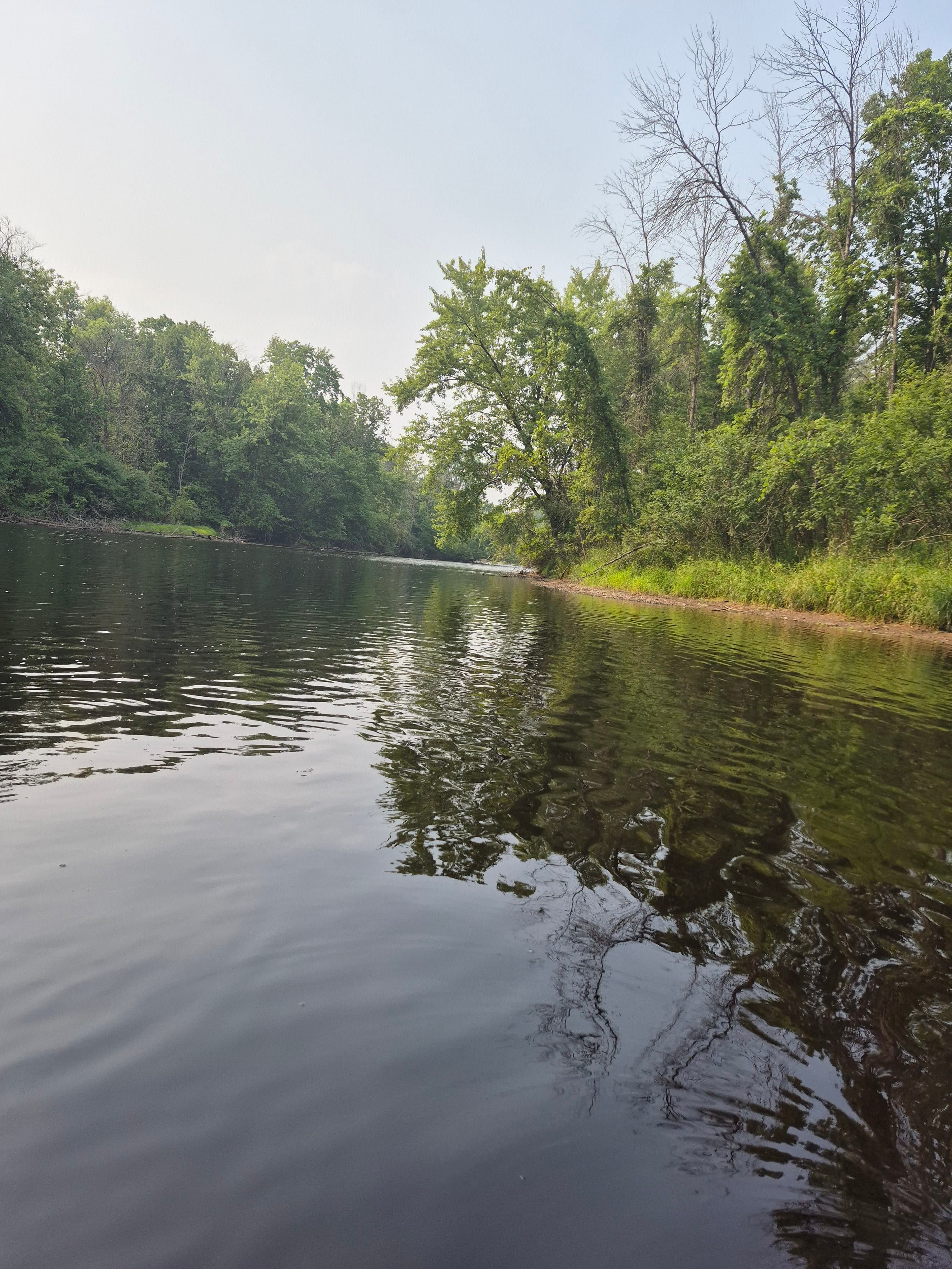
    • Photo 1 from Monica G.'s trip

Flows & weather (10 day forecast)

The gauges near Sandstone Flowage Dam to Crivitz and the forecast where it starts, so you can pick your day.

No forecast data available.

Same water

More routes on the Peshtigo River

The other curated routes on the Peshtigo River, each with how it is running now.

Curated by PaddleWays

RouteClass II–IV

Distance
5.2 mi
Paddle time
~1.5 hrs
Best for
Intermediate paddlers, experienced paddlers
Put-in → take-out
Otter Creek Access → Roaring Rapids Boat Ramp
Class IV rapids and multiple named drops
Curated by PaddleWays

RouteClass I–II

Distance
7.2 mi
Paddle time
~2.5 hrs
Best for
Intermediate paddlers
Johnson Falls Dam just upstream of the run

Close by

Routes near Sandstone Flowage Dam to Crivitz

Curated routes on other waters within an hour or so, nearest first.

Curated by PaddleWays

RouteClass I–II

Distance
5.4 mi
Paddle time
1–2 hrs
Best for
Kayak, canoe
Put-in → take-out
North River Road Public Boat Boat Ramp → Oconto River Boat Ramp
Bony Class I boulder garden near end
Curated by PaddleWays

RouteClass II–IV

Distance
12.5 mi
Paddle time
~3 hrs
Best for
Raft
Put-in → take-out
Highway M Boat Ramp → Big Smokey Falls Access
Class IV Big Smokey Falls drop
Curated by PaddleWays

RouteClass II–III

Distance
9.7 mi
Paddle time
~2.5 hrs
Best for
Intermediate paddlers
Put-in → take-out
Highway 64 Boat Ramp → Highway M Boat Ramp
Curated by PaddleWays

RouteClass II

Distance
8.4 mi
Paddle time
~3 hrs
Best for
Beginners
Put-in → take-out
West Hollister Road Boat Ramp → Highway 64 Boat Ramp
Curated by PaddleWays

RouteClass II–III

Distance
6.4 mi
Paddle time
~1.5 hrs
Best for
Kayak, canoe
Put-in → take-out
Highway 52 Boat Ramp → West Hollister Road Boat Ramp
Curated by PaddleWays

RouteClass II–III

Distance
4.7 mi
Paddle time
~1 hr
Best for
Kayak, canoe
Put-in → take-out
Popple River Access → Morgan Lake Road Access

Smarter Paddling Starts in the App.

PaddleWays gives you everything you need to plan smarter, paddle better, and own every trip from first launch to takeout.
