Curated by PaddleWays
RouteClass II–III
- Distance
- 4.7 mi
- Paddle time
- ~1 hr
- Best for
- Kayak, canoe
- Put-in → take-out
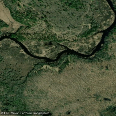
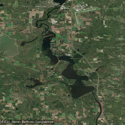
- Popple River Access → Morgan Lake Road Access
The Popple River originates in the forested highlands of northwestern Forest County, Wisconsin, flowing eastward through the Chequamegon-Nicolet National Forest before joining the Pine River in Florence County. This 62-mile tributary system drains pristine northwoods terrain, dropping through a series of challenging rapids and waterfalls as it descends from the Northern Highland toward the Menominee River watershed.
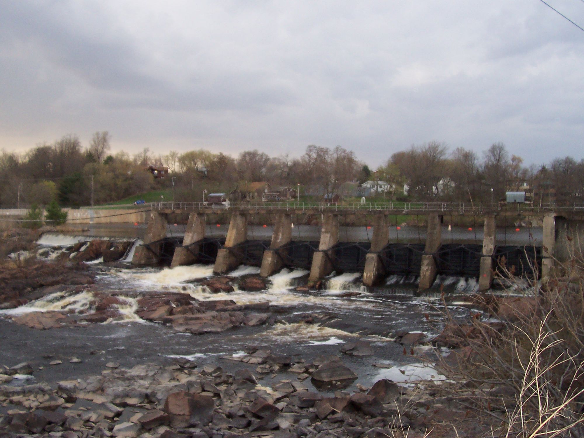
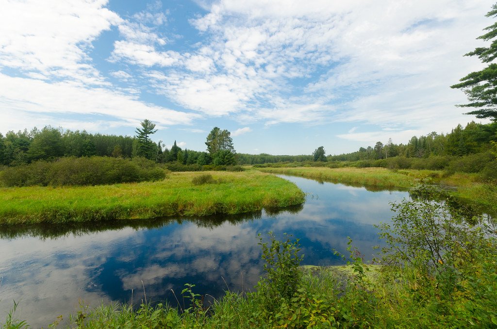
The river's character transforms dramatically along its course. Upper sections meander through extensive wetlands and alder thickets, presenting narrow channels occasionally obstructed by beaver activity. The middle reaches, particularly between Forest Road 2398 and Morgan Lake Road, offer intermediate paddling through mixed forest with scattered Class I-II boulder gardens. Below Morgan Lake Road, the Popple becomes Wisconsin's most concentrated whitewater challenge, featuring four Class II-III waterfalls—Little Bull Falls, Big Bull Falls, Washburn Falls, and Jennings Falls—compressed into approximately six miles.
Paddling opportunities exist primarily for experienced whitewater boaters willing to scout and portage. The section from Morgan Lake Road to Highway 101 demands expert-level skills, with technical rapids requiring precise boat control through narrow, boulder-choked channels. Upstream sections accommodate intermediate paddlers during adequate flows, though shallow conditions frequently require dragging boats over rocky stretches. The Popple is fundamentally a spring river, typically navigable only from April through early June unless sustained rainfall replenishes flows.
Water levels prove critical for trip planning. A minimum reading of two feet on staff gauges at Highway 101 or Morgan Lake Road indicates marginally acceptable conditions; readings between 1.0 and 1.6 feet provide optimal paddling. Below these levels, the experience deteriorates into rock-scraping frustration.
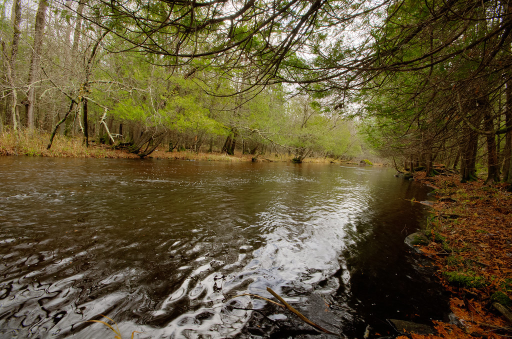
The river corridor supports classic northwoods ecology. Hemlock, white pine, and northern hardwoods dominate the canopy, while cedar and spruce line the immediate banks. Wildlife includes white-tailed deer, black bear, beaver, and river otter. Birdwatchers may observe wood ducks, common mergansers, bald eagles, and over twenty warbler species during migration.
Access points include Highway 55, Highway 139, Twin Rivers Road, Newald Tower Road (Forest Road 2159), Morgan Lake Road, and Highway 101. The nearest communities are Argonne and Fence in Forest County, with Florence serving paddlers in Florence County.
Designated a Wisconsin Wild River in 1965 alongside the Pine and Pike Rivers, the Popple benefits from development restrictions protecting its wilderness character. Historical logging operations left remnants including old dam sites and railroad grades visible along the route.
Safety considerations are paramount. All four waterfalls require portaging by recreational paddlers, with trails marked but often rugged. The remote nature of the river means self-rescue capability is essential.
Camping is permitted on National Forest lands, with primitive sites at Forest Road 2159 and near Nine Day Rapids available first-come, first-served. Multi-day expeditions combining the Popple with the Pine River offer extended wilderness experiences, though logistical challenges including shuttle distances and water level uncertainties require careful planning.
Curated routes
Hand-picked by the PaddleWays team, with put-ins, take-outs, paddle times and the hazards along the way.
RouteClass II–III
RouteClass II–III
RouteClass I–II
RouteClass III
RouteClass II–III
Hazards
No paddler has reported a hazard here yet, so these are the dams, falls and big rapids on our map. Hazards change with flows and storms, so check them before you launch.
From the community
Nobody has shared a trip on Popple River yet. Paddle it, then tell the next paddler how it went.
See exactly where the public can get on and off the river. Launch points and boat ramps are paired with PaddleWays' public land data so you know where you can legally land.
Public shoreline
70%of the river's shoreline is public
Flows, weather and a route-by-route verdict, so you know which stretch of the Popple River is worth paddling today.
Live flows, marked hazards and fresh trip reports from paddlers who were just on the water, all in one place.





Every user gets free access to launch points, boat ramps, and public property parcels.
Loading popular cities...
PaddleWays gives you everything you need to plan smarter, paddle better, and own every trip from first launch to takeout.