Paddling in Wisconsin
- Lakes
- 5,487
- Rivers
- 3,264
- Access
- 409
- Boat Ramps
- 3,492
- Shops
- 12
Wisconsin is a two-handed paddling state: a rough northern whitewater culture in the northeast, and a vast flatwater-touring tradition spread across thousands of lakes, river miles, and two Great Lakes coasts.
You can be running glacial bedrock in the morning and drifting past sandstone bluffs by afternoon without leaving the state. The whitewater heart is the Wolf and the Peshtigo.
The Wolf runs spring-fed and reliable from spring into fall, mostly Class II–III with the six miles between Otter Slide Landing and Big Smokey Falls holding the harder water — Lower Dells in the Dalles Gorge and the high-speed slide at Big Smokey Falls itself.
Below County Highway M the river enters the Menominee Reservation, which is federally Wild and Scenic and requires a tribal permit; if you're not going through a licensed outfitter, sort that out before you put in or risk having your boat and vehicle impounded.
The Peshtigo is moodier — 300 cfs in late summer is a beginner-friendly float, 3,000+ cfs in spring melt turns the same rapids into something else entirely.
Kosir's has been guiding it since 1975 and is as close to a foundational institution as Midwest whitewater has.
For experts, the Flambeau's South Fork holds Class IV–V early spring through mid-June, with Little Falls and Slough Gundy as the marquee drops, and the Pine and Popple Wild Rivers sit further north with named hazards like Meyers Falls and the half-mile portage around 22-foot LaSalle Falls.
Read the staff gauge near Highway 101 before committing to the Popple — under 200 cfs and you'll be dragging. The flatwater world is bigger and slower.
The Flambeau North Fork is one of the great canoe-camping rivers of the upper Midwest, 77 forested miles with boat-in primitive sites you take first-come, one night each.
The Kickapoo through the Driftless from Ontario to La Farge is the opposite kind of trip — narrow, ridiculously crooked, walled in by sandstone and limestone bluffs through Wildcat Mountain and the Kickapoo Valley Reserve.
The Rock River Water Trail runs 320 miles to the Mississippi as a designated National Water Trail, with 155 access points and a real commitment to ADA access at about a third of them. The two coasts are serious water.
Lake Superior sea kayaking around the Apostle Islands — sea caves, sandstone cliffs, 22 wild islands, 30-plus primitive campsites that book out fast — is summer-only and rewards expedition-grade preparation.
The 525-mile Lake Michigan State Water Trail wraps Door County and demands the same respect: dress for immersion, every time. The whole community converges every March at Canoecopia in Madison, hosted by Rutabaga out on Lake Monona.
It's the closest thing paddlers in this part of the country have to a hometown.
Top waters to paddle near Wisconsin
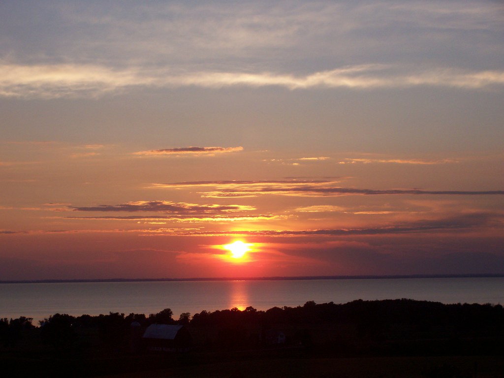
Lake Winnebago
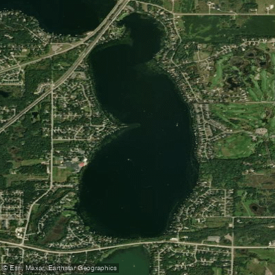
Lake Geneva
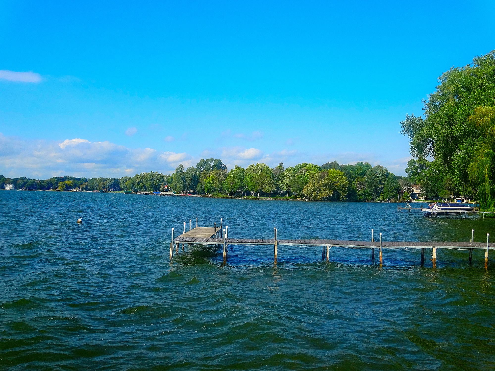
Lake Mendota
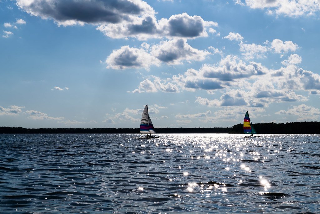
Petenwell Lake
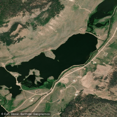
Castle Rock Lake
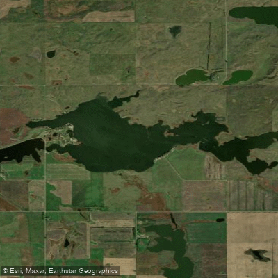
Green Lake

Mississippi River
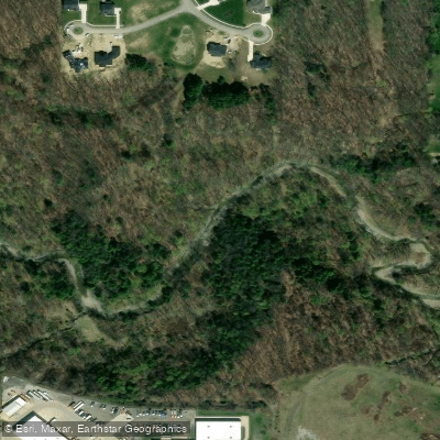
Chippewa Creek
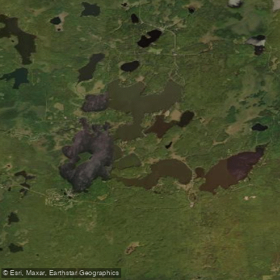
Namekagon Lake
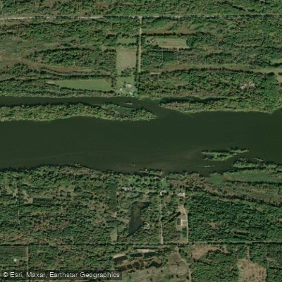
Wisconsin River
Paddle smarter with real-time insights
Whether you're en route and conditions shift or you're looking for the best spot based on current flows, we enable you to make informed decisions on the fly.







Wisconsin licenses and regulations
Explore Wisconsin waters
Top paddling waters
Popular Cities
Loading popular cities...

Smarter Paddling Starts in the App.
Paddleways gives you everything you need to plan smarter, paddle better, and own every trip from first launch to takeout.