Krom
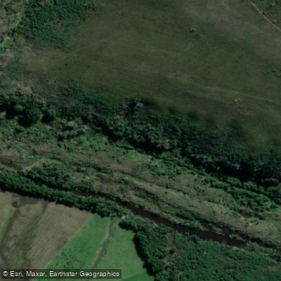
Krom
- Boat Ramps
- 0
- Access Points
- 0
- Campsites
- 0
The Krom River (also known as Krommerivier or Kromme River) is a natural watercourse in the Eastern Cape Province of South Africa. It originates in the Tsitsikamma Mountains at an elevation of approximately 800 metres and flows in an east-southeast direction for roughly 109 kilometres before emptying into the Indian Ocean through a tidal estuary on the north side of St Francis Bay, west of Port Elizabeth. The river's catchment area covers approximately 1,085 square kilometres. Two dams — Churchill Dam and Impofu Dam, the latter located near Humansdorp — are situated along its course.
The lower reaches near St Francis Bay are the primary focus for paddlers. The estuary is tidal, and conditions at the river mouth can be challenging; the entrance to the sea is tide-dependent and can become dangerous, with turbulent water described locally as "washing machine" conditions. Paddlers should only attempt ocean access when conditions are safe and with an appropriately equipped vessel. The Krom River and the adjacent St Francis Canals — a manmade canal system — are separate waterways, though both can provide access to the ocean.
For launching, there is a point beneath the bridge on the approach to St Francis, though it is noted as not the most convenient option. A more accessible slipway is located at the canals harbour within St Francis town, with signage directing boaters from the town centre. A small launch fee applies at this slipway, and permits are typically inspected there. Paddlers should be aware that a specific Krom River permit is required to paddle the river, separate from any permit needed for the St Francis Canals. There have been reports of attempted theft of trailer equipment at the harbour slipway, so appropriate precautions are advisable.
The estuary environment supports fishing for species including grunter, kob, and garrick, and the river is used for kayaking, stand-up paddleboarding, and general recreational boating. Accommodation options along the river include properties that provide kayaks and SUPs for guest use, with mooring space available for private boats. The river corridor is characterised by natural riparian vegetation. A separate, smaller Krom River exists near Greyton in the Western Cape and should not be confused with this Eastern Cape waterway.
Water access, boat ramps & amenities
Learn how to get on Krom. Uncover great paddling access points, boat ramps, and all the facilities you need for an unforgettable day on the water. Some locations shown may border or include private property. Always check property boundaries and applicable regulations before visiting. PaddleWays's Public & Private Land layer can help you plan your access with confidence.
Paddle smarter with real-time insights
Whether you're en route and conditions shift or you're looking for the best spot based on current flows, we enable you to make informed decisions on the fly.







Eastern Cape licenses and regulations

Find Places to Paddle

Over 400,000 Places to Paddle
Every user gets free access to launch points, boat ramps, and public property parcels.


Water and weather conditions (10 day forecast)
See the best times to paddle Krom and check the forecast before you go.
Pipeline To Woodlands Farm (Impofu Dam)
Paddling near Krom
Swartkops
Sondags
Algoa Bay
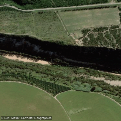
Gamtoos
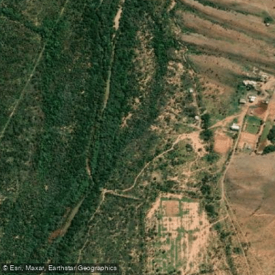
Groot
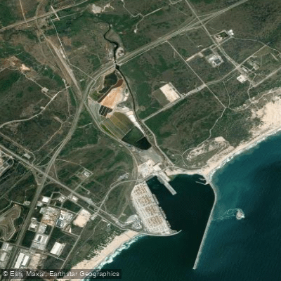
Coega (Ngqurha)
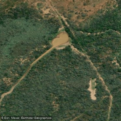
Kariega
Klein
Sundays
Kouga
Explore Eastern Cape waters
Top paddling waters
No waters available right now.
Popular Cities
Loading popular cities...
Explore near Krom
Access points
More in Eastern Cape

Smarter Paddling Starts in the App.
Paddleways gives you everything you need to plan smarter, paddle better, and own every trip from first launch to takeout.